The best running trails in Feketeerdő
27
runners
6
runs
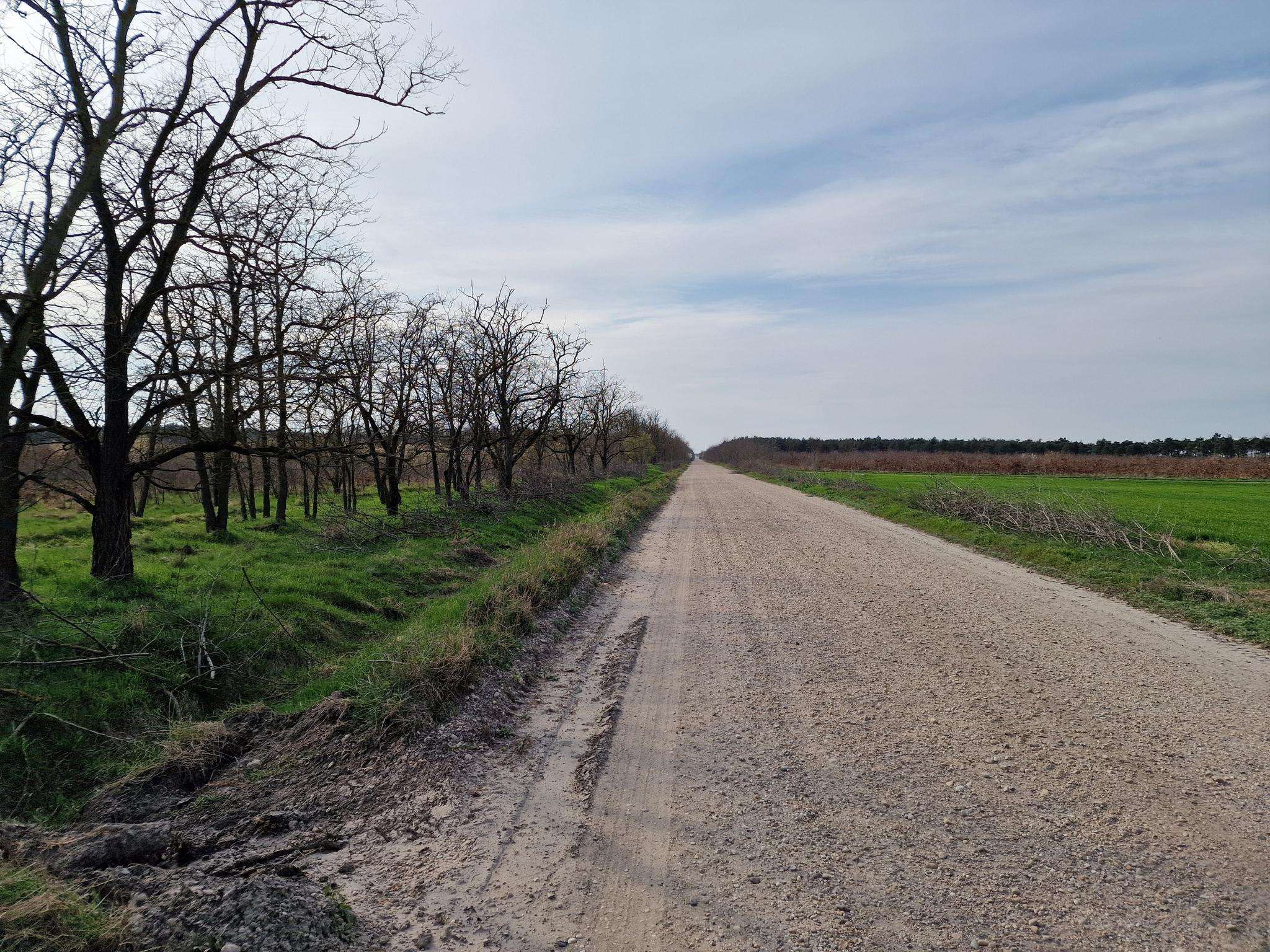
Jogging routes in Feketeerdő traverse a landscape characterized by flat terrain and proximity to waterways. The region features minimal elevation changes, making it suitable for sustained running. Paths often follow riverbanks and canals, offering open views. The area's geography is defined by its connection to the Lajta and Danube rivers, providing a network of relatively level running paths.
Best jogging routes in Feketeerdő
- The most popular jogging route is Lajta Balparti csatorna – Lajta loop from Mosonmagyaróvár, a 9.9…
Last updated: May 20, 2026
6
runners
15.9km
01:47
20m
20m
Hard run. Very good fitness required. Mostly paved surfaces. Suitable for all skill levels.
2
runners
15.5km
01:35
20m
20m
Hard run. Very good fitness required. Mostly paved surfaces. Suitable for all skill levels.

Sign up for free
2
runners
18.1km
01:59
20m
20m
Hard run. Very good fitness required. Mostly paved surfaces. Suitable for all skill levels.
7
runners
5.58km
00:34
10m
10m
Moderate run. Good fitness required. Mostly paved surfaces. Suitable for all skill levels.
6
runners
9.95km
01:04
20m
20m
Moderate run. Good fitness required. Mostly paved surfaces. Suitable for all skill levels.
Our route recommendations are based on thousands of hikes, rides, and runs completed by other people on komoot.
Start today with a free account
Your next adventure awaits.
Login or Signup
Popular around Feketeerdő
Frequently Asked Questions
What is the general terrain like for running in Feketeerdő?
The Feketeerdő region is characterized by its largely flat terrain and close proximity to waterways, particularly the Lajta and Danube rivers. Running paths often follow riverbanks and canals, offering open views and minimal elevation changes, which is ideal for sustained running.
Are there running routes suitable for beginners in Feketeerdő?
Currently, the routes listed for Feketeerdő are categorized as moderate or difficult, with no easy routes available. This suggests that runners should have some experience or be prepared for longer distances and potentially challenging conditions, even on flat terrain.
Are there any circular running routes in Feketeerdő?
Yes, Feketeerdő offers several excellent circular running routes. Popular options include the Lajta Balparti csatorna – Lajta loop from Mosonmagyaróvár and the Batthyány-kastély loop from Dunasziget, both of which are challenging loops that allow you to start and finish in the same location.
What are the typical distances of running trails in Feketeerdő?
Running trails in Feketeerdő vary in length. You can find shorter moderate routes like the Running loop from Šamorín at about 5.6 km, up to longer, more challenging runs such as the Levéli Horgász tó loop from Levél, which spans over 18 km.
Is Feketeerdő a good place for long-distance running?
Absolutely. With its flat terrain and numerous routes ranging from moderate to difficult, Feketeerdő is well-suited for long-distance running. Many paths follow canals and riverbanks, providing consistent surfaces for extended training runs.
What kind of scenery can I expect on the running routes in Feketeerdő?
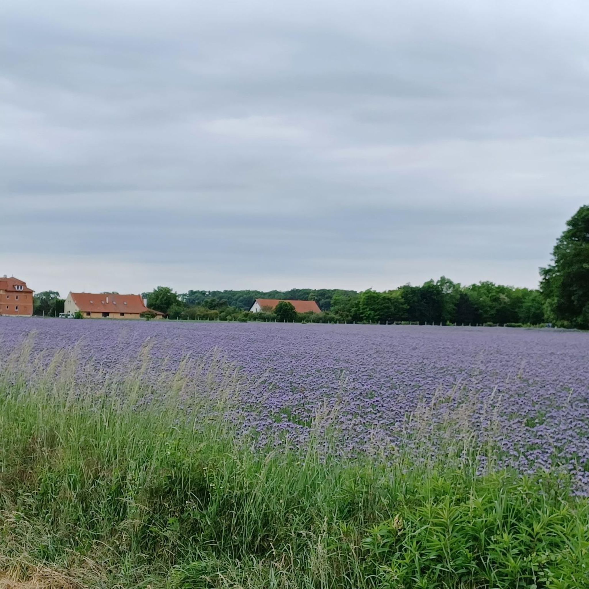
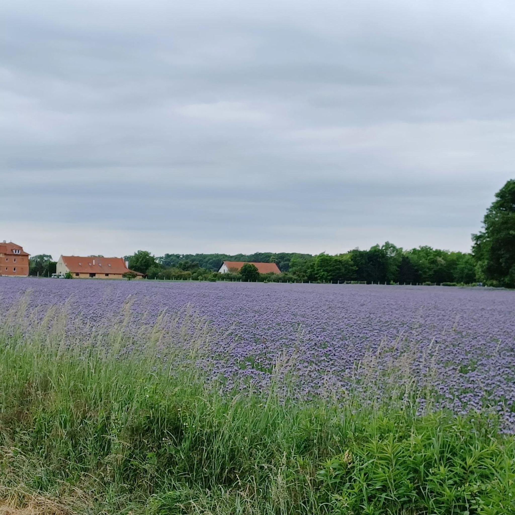
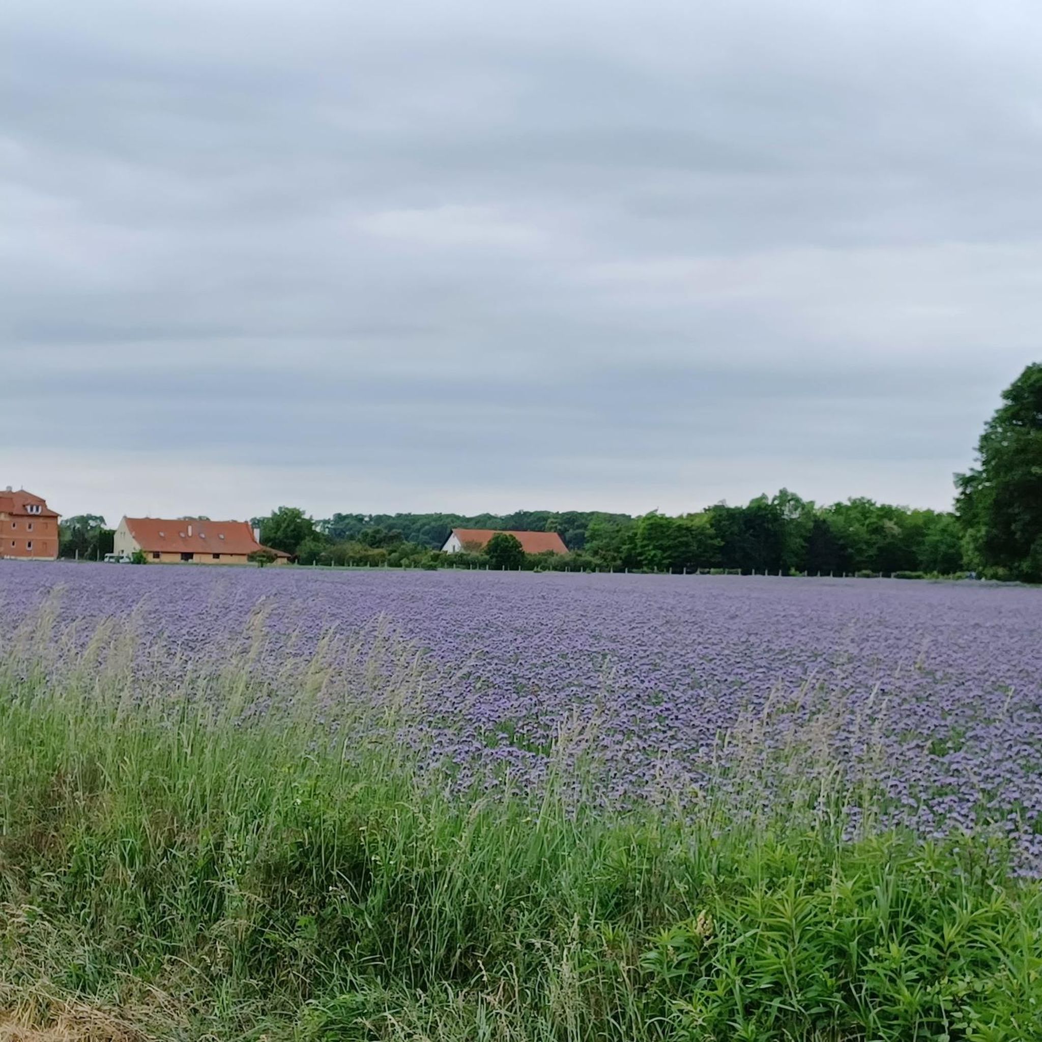
Runners in Feketeerdő can expect open landscapes, often alongside the Lajta and Danube rivers or canals. The scenery is generally characterized by natural waterways and surrounding flat, green areas, offering a peaceful and expansive environment for your run.
How many running routes are available in Feketeerdő?
There are currently 6 dedicated running routes listed for Feketeerdő, offering a variety of options for different fitness levels, though all are categorized as moderate to difficult.
Are there any running routes near a fishing lake in Feketeerdő?
Yes, the Levéli Horgász tó loop from Levél is a popular running route that leads through the surroundings of Levél and passes by a fishing lake, offering a scenic and tranquil experience.
What do other runners say about the trails in Feketeerdő?
The running trails in Feketeerdő are well-regarded by the komoot community, with over 20 runners having explored the region. Routes like the Lajta Balparti csatorna – Lajta loop from Mosonmagyaróvár and the Batthyány-kastély loop from Dunasziget are highlighted as top favorites among local runners, praised for their consistent surfaces and open views.
Are there any moderate running options in Feketeerdő?
Yes, while many routes are difficult, there are moderate options available. For example, the Running loop from Šamorín and the Štrkovisko loop from Danube are both categorized as moderate, offering a good balance for runners seeking a less intense experience than the difficult trails.
What are the main geographical features influencing running in Feketeerdő?
The primary geographical features influencing running in Feketeerdő are its flat topography and the presence of the Lajta and Danube rivers. These waterways create a network of riverbank and canal-side paths, ensuring minimal elevation changes and consistent running surfaces throughout the region.

Get inspired with the komoot mobile app


Explore more
Browse the best Running Trails & Routes in other regions.
