The best MTB trails in Ellender Wald
4.5
(168)
388
riders
116
rides
Mountain biking in Ellender Wald offers a network of trails through a forested landscape, characterized by gently rolling terrain and open areas. The region features a mix of woodlands and agricultural fields, with routes often passing by local landmarks and along river sections. Elevation changes are generally modest, making it suitable for various skill levels. This area provides a natural setting for mountain biking without significant climbs.
Best mountain bike trails in Ellender Wald
- The most popular mountain bike trail…
Last updated: October 5, 2026
5.0
(1)
5
riders
18.7km
01:13
110m
110m
Moderate mountain bike ride. Great for any fitness level. Advanced riding skills necessary.
2
riders
49.4km
03:20
280m
280m
Moderate mountain bike ride. Good fitness required. Advanced riding skills necessary.

2
riders
29.2km
01:45
150m
150m
Moderate mountain bike ride. Great for any fitness level. Advanced riding skills necessary.
5.0
(1)
3
riders
Moderate mountain bike ride. Good fitness required. Advanced riding skills necessary.
2
riders
25.8km
01:50
270m
270m
Moderate mountain bike ride. Great for any fitness level. Advanced riding skills necessary.
Get access to more routes and recommendations from other explorers.
Already have an account?
Our route recommendations are based on thousands of hikes, rides, and runs completed by other people on komoot.
Start today with a free account
Your next adventure awaits.
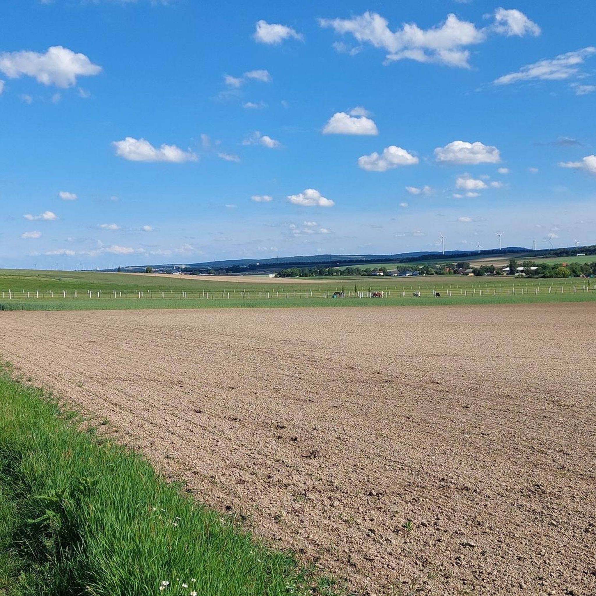
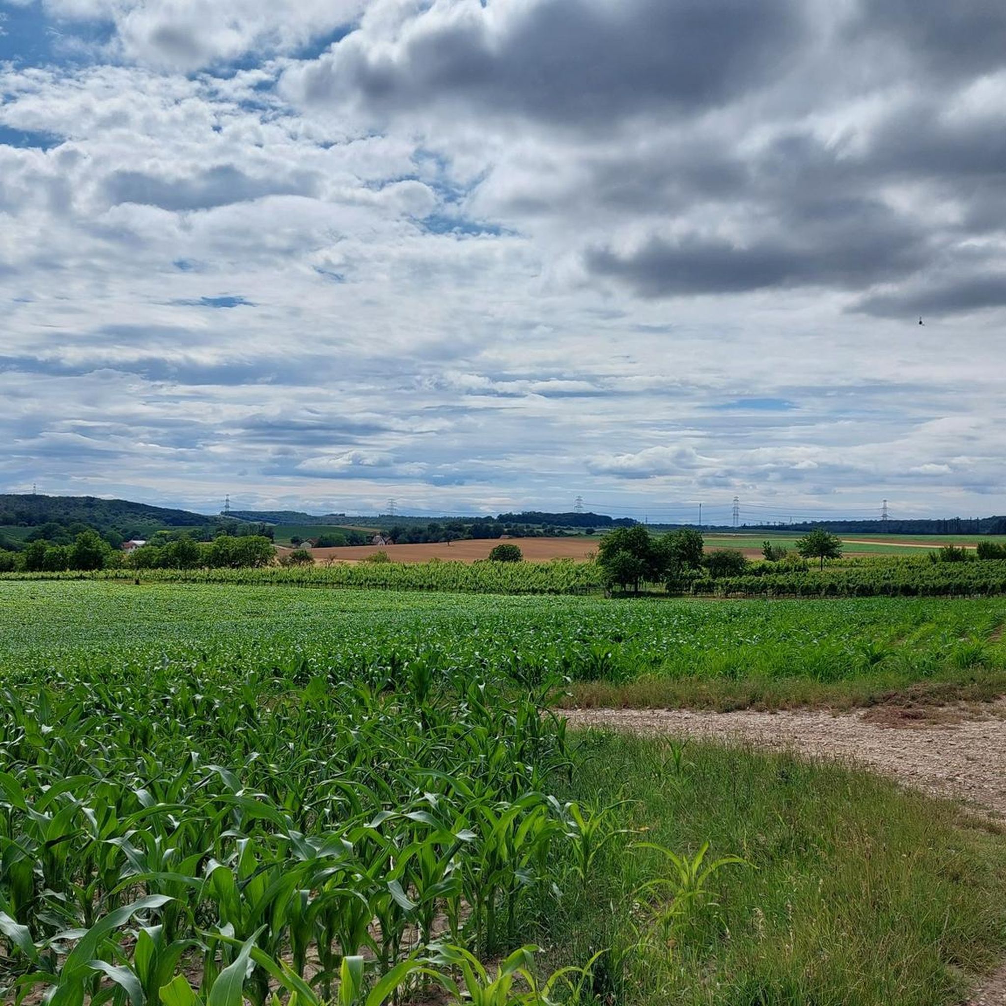
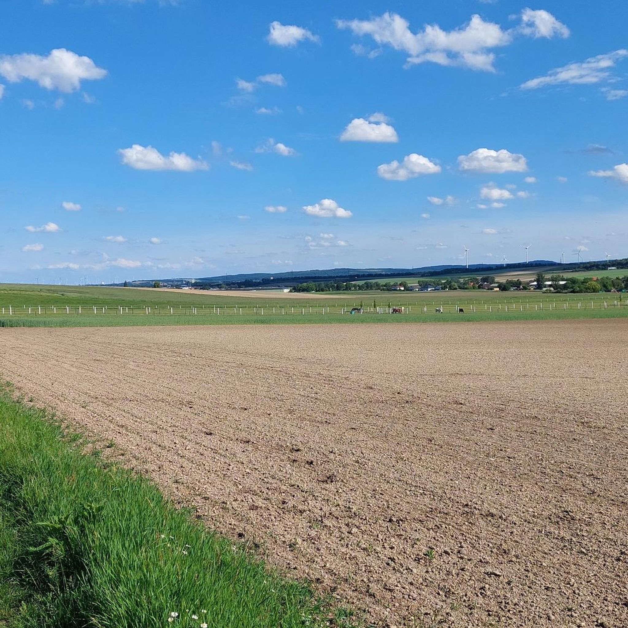
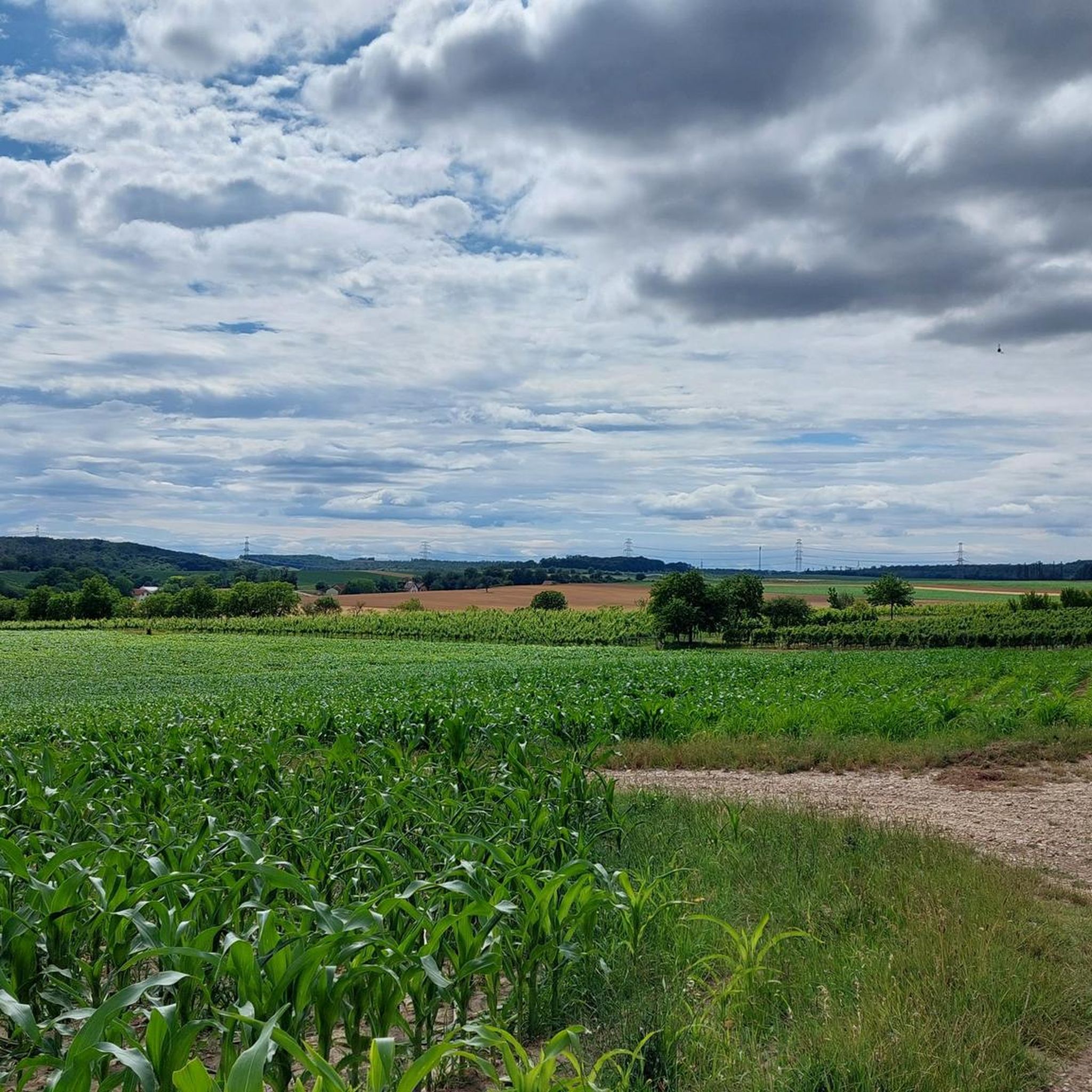

Tips from the Community


A primeval forest that can be explored on foot or by bike.
2
0

The parish and pilgrimage church of Maria Ellend, officially "Our Lady of the Rosary," belongs to the Hainburg deanery of the Archdiocese of Vienna and is one of the most important pilgrimage sites in the region. The first records of a Marian chapel on this site date back to 1466, when the chapel "Our Lady of Ellend" was first mentioned. The original church was destroyed in 1529 during the Turkish Wars. On the same site, the newly settled Croatian community built a second church in 1584, which was initially dedicated to Saint Mark and elevated to parish church status in 1659. After further war damage, the building fell into disrepair by 1710. The present church was rebuilt between 1770 and 1772 on what was then the imperial road and dedicated to Our Lady of the Rosary. In 1910, a mosaic depicting the "Madonna of the Road" was added to the facade, and a Lourdes grotto, Stations of the Cross, and a Rosary path were created in the surrounding area, reinforcing the pilgrimage character of the site. Architecturally, the church presents a simple exterior with a hipped roof and rectangular windows. The interior is dominated by a high altar dating from around 1770, upon which stands a miraculous statue of Mary with Child from around 1600, complemented by a simple wooden pulpit from the same period. Since 1929, the parish and pilgrimage site have been under the care of the Missionary Congregation of the Holy Family, ensuring that the church tradition, the pilgrimage activities, and the veneration of the Virgin Mary remain vibrant to this day.
1
0
The Danube-Auen National Park is surrounded by a well-developed network of cycle paths, including routes along the Fischa River near Fischamend. The area is flat and unspoiled, making the paths particularly attractive for recreational cyclists. From Fischamend, you can embark on both short excursions along the Fischa and longer tours. The routes are well signposted and suitable for relaxed cycling, allowing you to experience the region in a variety of ways.
0
0

The little bridge over the Fischa River is located on the way from Enzersdorf an der Fischa to Fischamend. However, if you cross the bridge, you'll reach Kleinneusiedl, from where you can then take a bike path to Fischamend, or you can cross the main road and then climb a slight incline to Spotterhügel, where you can watch planes arriving and departing.
0
0

Nicer alternative to the cycle path next to the railway.
0
0

Frequently Asked Questions
What is the difficulty level of mountain bike trails in Ellender Wald?
Ellender Wald offers a range of trails suitable for various skill levels. You'll find 46 easy routes and 84 moderate routes. There are no difficult trails, making it an accessible area for many riders. The terrain is characterized by gently rolling hills and modest elevation changes.
Are there family-friendly mountain bike trails in Ellender Wald?
Yes, Ellender Wald is well-suited for family mountain biking. With 46 easy routes and generally modest elevation changes, many trails are suitable for riders of different ages and abilities. Routes often pass through woodlands and open fields, providing a pleasant experience for families.
Can I find circular mountain bike routes in Ellender Wald?
Absolutely. Many of the mountain bike routes in Ellender Wald are designed as loops. For example, you could try the Fischaturm – Fire Brigade Museum Fischamend loop from Haslau, which is 11.8 miles (19.0 km) long, or the longer Fischa Wooden Bridge – Fischaturm loop from Haslau at 30.7 miles (49.4 km).
How long are the mountain bike trails in Ellender Wald?
The trails in Ellender Wald vary in length. You can find shorter routes, such as the Fischaturm – Fire Brigade Museum Fischamend loop from Haslau at 11.8 miles (19.0 km), which takes about 1 hour 13 minutes. Longer options include the Fischa Wooden Bridge – Fischaturm loop from Haslau, which is 30.7 miles (49.4 km) and typically takes around 3 hours 22 minutes.
What is the best time of year for mountain biking in Ellender Wald?
Mountain biking in Ellender Wald is enjoyable throughout much of the year. Spring and autumn offer pleasant temperatures and beautiful scenery with changing foliage. Summer is also a good option, especially on shaded woodland trails. Always check local weather conditions before heading out.
Is winter mountain biking possible in Ellender Wald?
Winter mountain biking in Ellender Wald can be possible, but conditions will depend on snow and ice. The region's generally modest elevation changes mean trails are less prone to heavy snow accumulation compared to mountainous areas. However, always exercise caution and check local trail conditions for safety before riding in winter.
Are there scenic viewpoints or interesting landmarks along the mountain bike trails?
Yes, the trails in Ellender Wald often pass by local landmarks and offer views of the surrounding landscape. You can encounter sights like the Fischaturm, the Fire Brigade Museum Fischamend, and the Fischa Wooden Bridge. The Göttlesbrunn town hall – Römerblick Viewpoint Höflein loop from Haslau specifically mentions the Römerblick Viewpoint.
What do other mountain bikers enjoy the most about mountain biking in Ellender Wald?
The area is highly rated by the komoot community, with an average score of 4.5 stars from over 100 reviews. Reviewers often praise the varied terrain, which includes dense woodlands, riverine paths, and open agricultural areas, as well as the well-maintained network of trails suitable for different abilities.
Are there less crowded mountain bike trails in Ellender Wald?
While some popular routes might see more traffic, Ellender Wald offers a network of over 130 trails. Exploring some of the less-known or slightly longer routes, such as the Wind Turbines Near Petronell – Heidentor (Carnuntum) loop from Göttlesbrunn-Arbesthal, can often lead to a more tranquil experience, especially during off-peak hours or weekdays.
How does mountain biking in Ellender Wald compare to nearby forests?
Ellender Wald is known for its gently rolling terrain, a mix of woodlands and agricultural fields, and modest elevation changes. This makes it particularly suitable for riders seeking accessible and enjoyable routes without significant climbs. Compared to more mountainous regions, it offers a less strenuous but equally scenic experience, often featuring river sections and local landmarks.
Where can I find parking for mountain biking in Ellender Wald?
While specific parking areas are not detailed for every route, many trails start from towns or villages like Haslau, Göttlesbrunn-Arbesthal, or Maria Ellend. These locations typically offer public parking options. It's advisable to check the starting point of your chosen route on komoot for more precise parking information.
Most popular routes in Ellender Wald

Get inspired with the komoot mobile app


Explore more
Browse the best MTB trails in other regions.
