The best walks and hikes in Zillingdorfer Wald
4.7
(1384)
8,333
hikers
10
hikes
Hiking trails in Zillingdorfer Wald offer a diverse range of routes within this woodland area in Lower Austria, near Wiener Neustadt-Land. The region is characterized by accessible paths through forest landscapes, with notable natural features such as the crystal-clear Fischa Stream and its Dagnitz Spring. The terrain generally consists of gentle gradients, making it suitable for various fitness levels. A unique, small attraction within the forest is the Mini Pyramide, adding an intriguing point of interest.
Best hiking trails in Zillingdorfer Wald
- The most popular hiking route is Wetterkreuz on Wurthberg – Picnic Area Near Wetterkreuz loop from Pöttsching, a 6.6 miles (10.6 km) trail that takes 2 hours 49 minutes to complete. This moderate loop offers varied forest scenery.
- Another top favourite among local hikers is Picnic Area Near Wetterkreuz – Wetterkreuz on Wurthberg loop from Neudörfl, a moderate 5.3 miles (8.6 km) path. This route explores the woodland around the picnic area and Wetterkreuz.
- Local hikers also love the Picnic Area Near Wetterkreuz loop from Neudörfl, a 2.5 miles (4.0 km) trail leading through accessible woodland paths, often completed in about 1 hour 6 minutes.
- Hiking in Zillingdorfer Wald is defined by dense woodlands, the serene Fischa Stream, and accessible paths, including unique features like the Mini Pyramide. The network offers options for easy and moderate ability levels.
- The routes in Zillingdorfer Wald are highly rated by the komoot community with an average score of 4.7 stars from more than 1200 reviews. More than 8000 hikers have used komoot to explore Zillingdorfer Wald's varied terrain.
Last updated: July 4, 2026
5.0
(3)
29
hikers
Moderate hike. Good fitness required. Easily-accessible paths. Suitable for all skill levels.
4.9
(8)
22
hikers
Moderate hike. Good fitness required. Easily-accessible paths. Suitable for all skill levels.

Sign up for free
5.0
(7)
9
hikers
4.00km
01:06
60m
60m
Easy hike. Great for any fitness level. Easily-accessible paths. Suitable for all skill levels.
5.0
(3)
8
hikers
6.39km
01:43
80m
80m
Easy hike. Great for any fitness level. Easily-accessible paths. Suitable for all skill levels.
4.5
(2)
9
hikers
Easy hike. Great for any fitness level. Easily-accessible paths. Suitable for all skill levels.
Get access to more routes and recommendations from other explorers.
Sign up for free
Already have an account?
Our route recommendations are based on thousands of hikes, rides, and runs completed by other people on komoot.
Start today with a free account
Your next adventure awaits.
Login or Signup
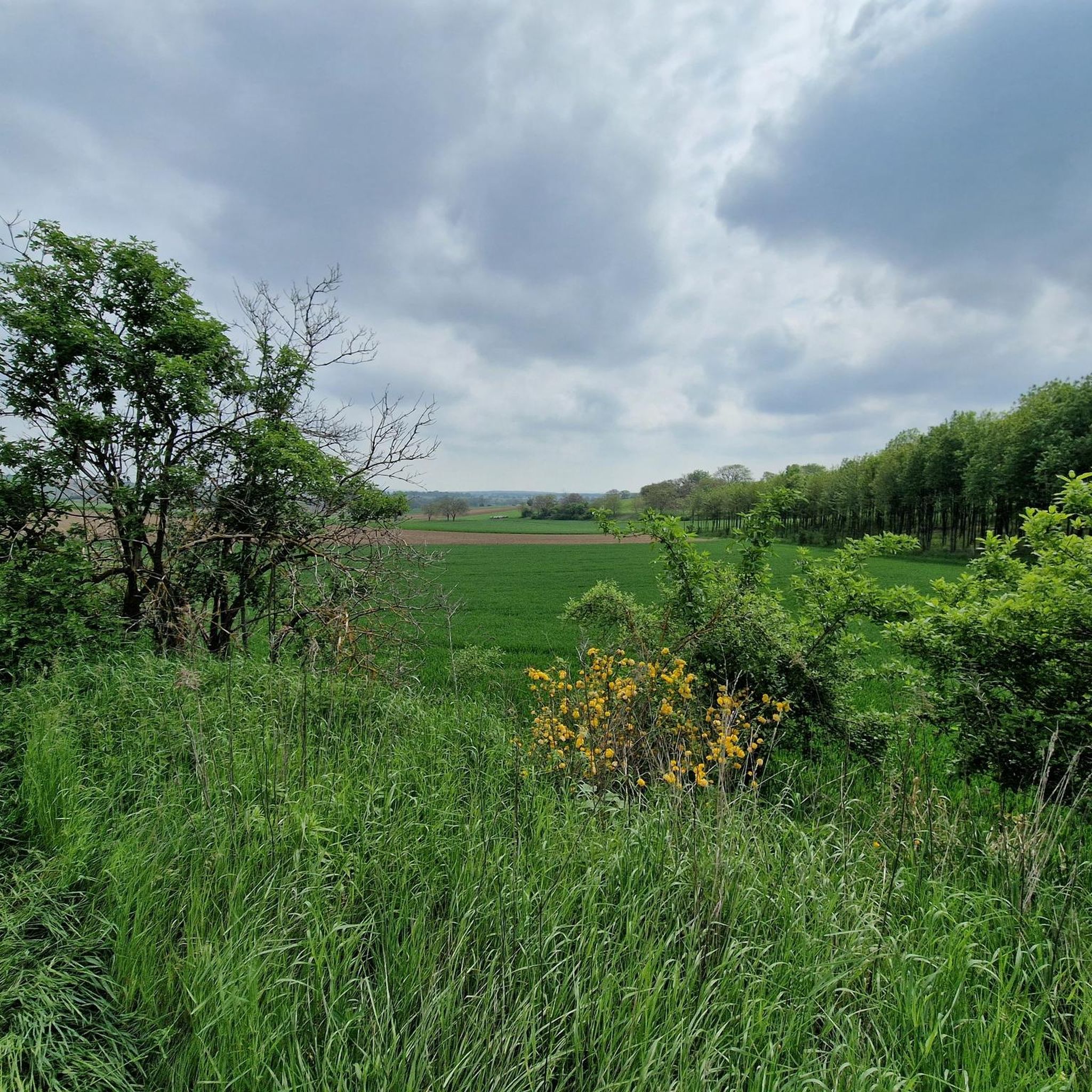
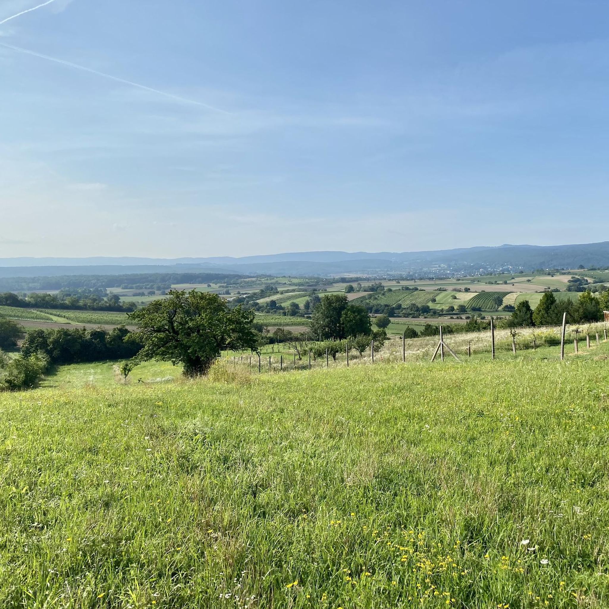
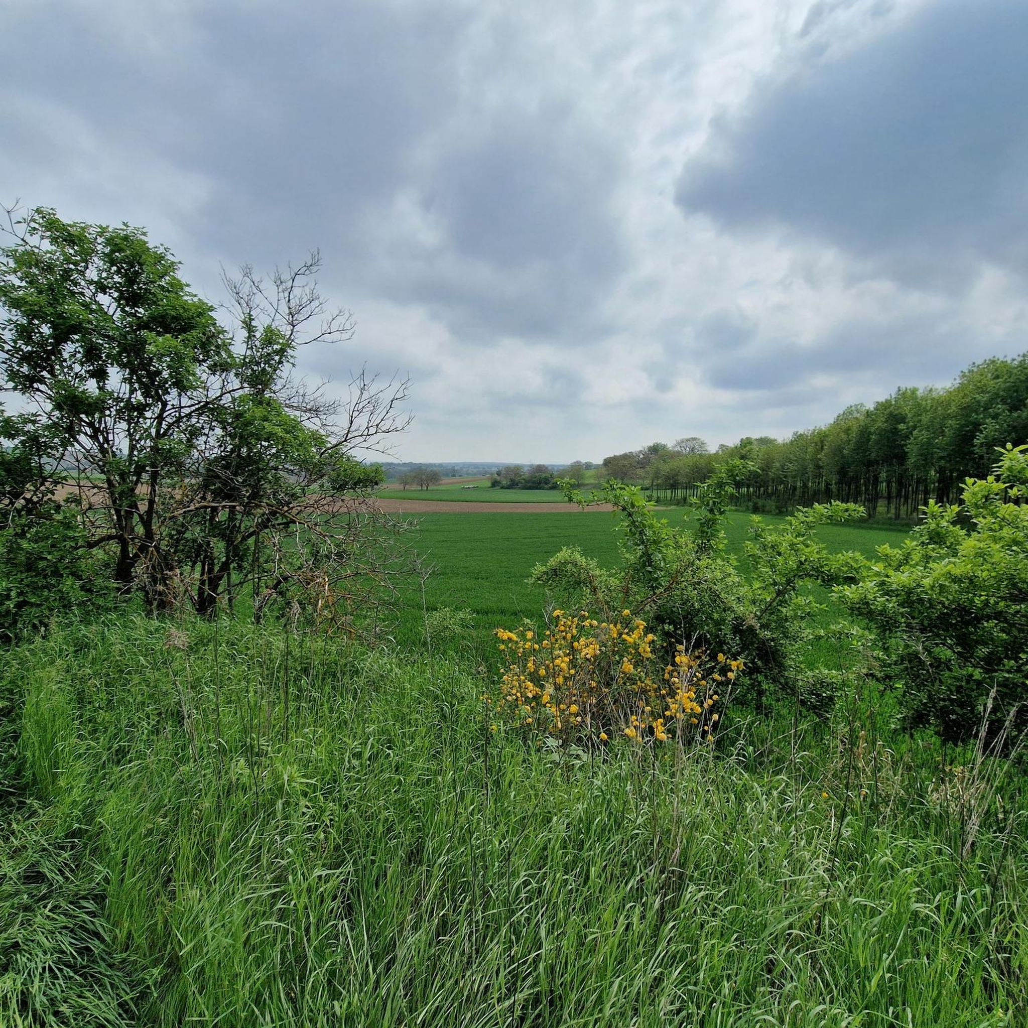
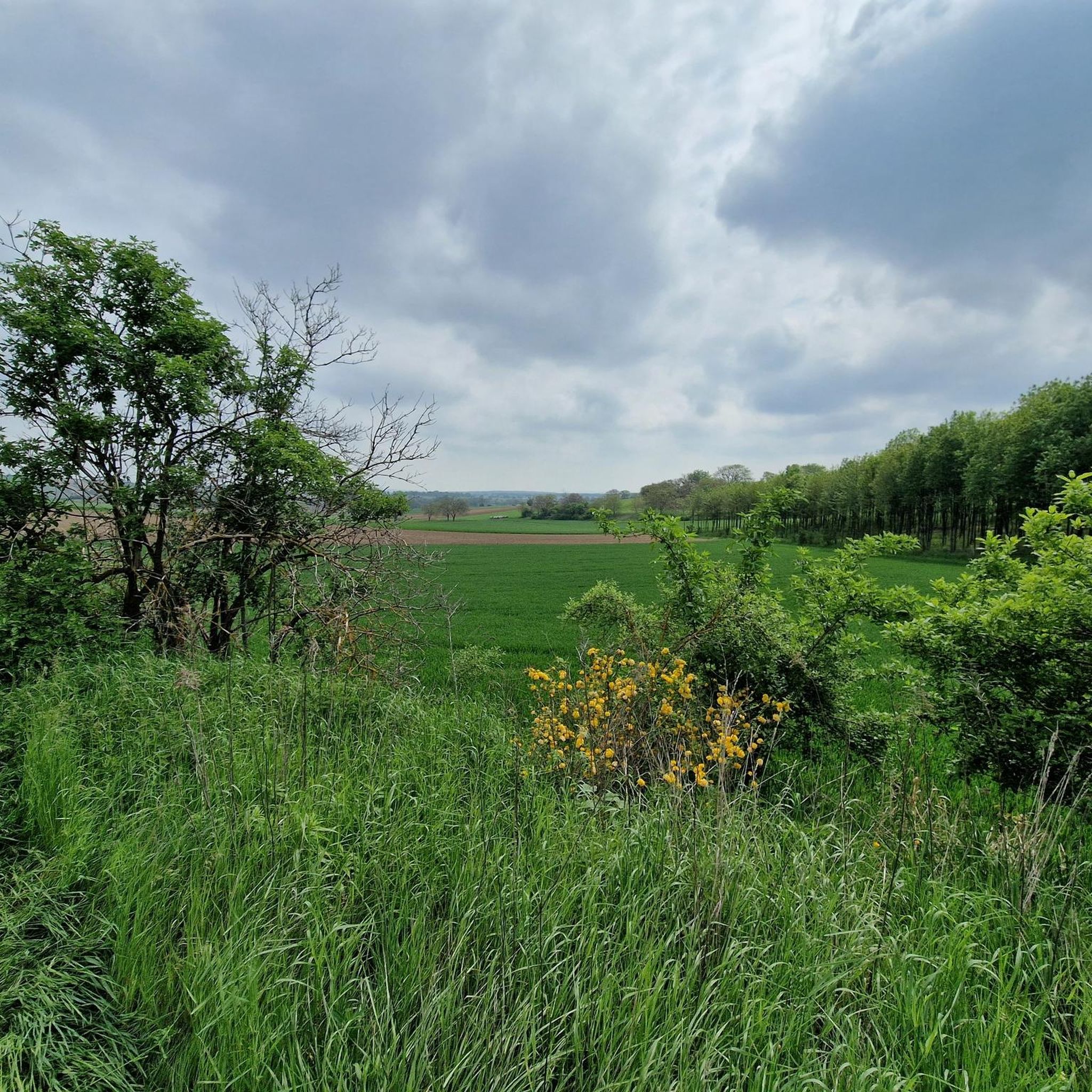

Tips from the Community


Rest area with a beautiful view.
0
0
Rest area in the vineyards, beautiful view of Bad Sauerbrunn.
0
0

Very nice area, both for walkers and cyclists.
0
0
Impressive column in the middle of nowhere.
0
0

Very beautiful path with views of the vineyards and the surrounding landscape.
0
0

Best cuisine in the region and cool service.
0
0

Along the route you will find a lot of “material” like this Marian column
0
1
Frequently Asked Questions
How many hiking trails are available in Zillingdorfer Wald?
Zillingdorfer Wald offers a selection of 10 hiking routes. The majority, 8 of these, are considered easy, making the area very accessible for various fitness levels. There are also 2 moderate trails for those seeking a bit more challenge.
What kind of terrain can I expect when hiking in Zillingdorfer Wald?
The terrain in Zillingdorfer Wald is characterized by accessible paths through dense forest landscapes. You'll find gentle gradients, making it suitable for casual strolls and family outings. The area is defined by its woodlands and the serene Fischa Stream.
Are there any easy, family-friendly hikes in Zillingdorfer Wald?
Yes, Zillingdorfer Wald is ideal for families and beginners, with 8 out of 10 routes classified as easy. A great option is the Picnic Area Near Wetterkreuz loop from Neudörfl, which is 4.0 km long and takes about 1 hour 6 minutes to complete through accessible woodland paths.
What are some notable natural features or landmarks to look out for?
Within Zillingdorfer Wald, you can explore the crystal-clear Fischa Stream and its Dagnitz Spring. A unique, small attraction is the Mini Pyramide. For a route that includes a specific landmark, consider the easy Rosalia Pyramid – Fleischhackerkreuz loop from Pöttsching.
Are there any circular walks in Zillingdorfer Wald?
Yes, many of the trails in Zillingdorfer Wald are circular. For example, the moderate Wetterkreuz on Wurthberg – Picnic Area Near Wetterkreuz loop from Pöttsching offers varied forest scenery over 10.6 km. Another option is the easy Wetterkreuz on Wurthberg – Picnic Area Near Wetterkreuz loop from Neudörfl, a shorter 3.0 km loop.
What do other hikers say about Zillingdorfer Wald?
The komoot community highly rates Zillingdorfer Wald, with an average score of 4.7 stars from over 1300 reviews. Hikers often praise the accessible paths, the serene forest environment, and the diverse range of routes suitable for various abilities.
Is Zillingdorfer Wald suitable for dog owners?
While specific dog-friendly regulations are not detailed, the accessible forest paths and gentle gradients of Zillingdorfer Wald generally make it a pleasant environment for walking with dogs. Always ensure your dog is under control and follow local guidelines regarding leashes and waste disposal.
Are there any longer, moderate hikes available?
Yes, for a moderate challenge, you can try the Picnic Area Near Wetterkreuz – Wetterkreuz on Wurthberg loop from Neudörfl. This route is 8.6 km long and explores the woodland around the picnic area and Wetterkreuz.
What is the best time of year to hike in Zillingdorfer Wald?
Zillingdorfer Wald is enjoyable throughout the year due to its accessible trails. Spring and autumn offer pleasant temperatures and beautiful foliage, while summer provides lush green canopies. Even in winter, the forest paths can be suitable for a peaceful walk, though conditions may vary.
Are there any places to eat or drink near the hiking trails?
While specific cafes or pubs directly within the forest are not highlighted, the broader region around Zillingdorfer Wald, including nearby towns like Lichtenwörth, offers snack stations and other establishments where you can find refreshments after your hike.
Is there parking available for hikers in Zillingdorfer Wald?
The Zillingdorfer Wald area is generally accessible, and parking is typically available near trailheads or in nearby villages. It's advisable to check specific starting points for designated parking areas before your visit.
Most popular routes in Zillingdorfer Wald

Get inspired with the komoot mobile app


Explore more
Browse the best Hikes in other regions.
