The best road cycling routes in Probstwald
4.8
(171)
3,629
riders
103
rides
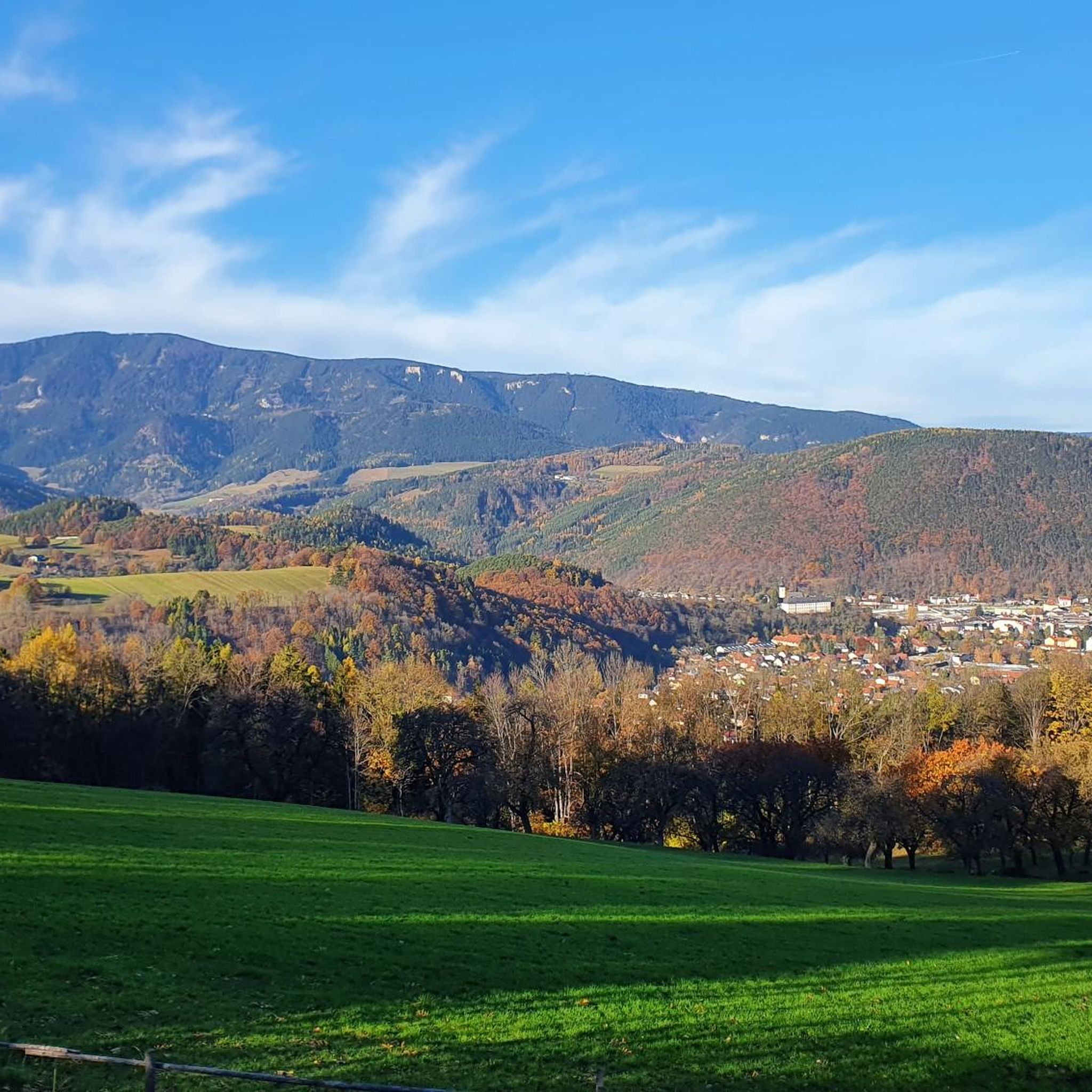
Road cycling in Probstwald offers a variety of routes through a forested landscape in the Bezirk Neunkirchen. The terrain features a mix of ascents and descents, characteristic of a low mountain range environment. Road cyclists can expect diverse conditions, from challenging climbs to more moderate paths, suitable for various skill levels. This region provides a natural setting for exploring by road bike.
Best road cycling routes in Probstwald
- The most popular road cycling route is Gamperlfenster – Alte Reichsstraße loop…
Last updated: July 2, 2026
61
riders
102km
05:37
2,070m
2,070m
Hard road ride. Very good fitness required. Mostly well-paved surfaces and easy to ride.
5.0
(2)
38
riders
38.5km
01:49
440m
440m
Moderate road ride. Good fitness required. Mostly well-paved surfaces and easy to ride.

Sign up for free
5.0
(1)
15
riders
54.9km
02:56
1,030m
1,030m
Hard road ride. Very good fitness required. Mostly well-paved surfaces and easy to ride.
4.2
(21)
436
riders
68.7km
03:39
1,280m
1,280m
Hard road ride. Very good fitness required. Mostly well-paved surfaces and easy to ride.
5.0
(6)
350
riders
86.5km
05:02
2,000m
2,000m
Hard road ride. Very good fitness required. Mostly well-paved surfaces and easy to ride.
Get access to more routes and recommendations from other explorers.
Sign up for free
Already have an account?
Our route recommendations are based on thousands of hikes, rides, and runs completed by other people on komoot.
Start today with a free account
Your next adventure awaits.
Login or Signup
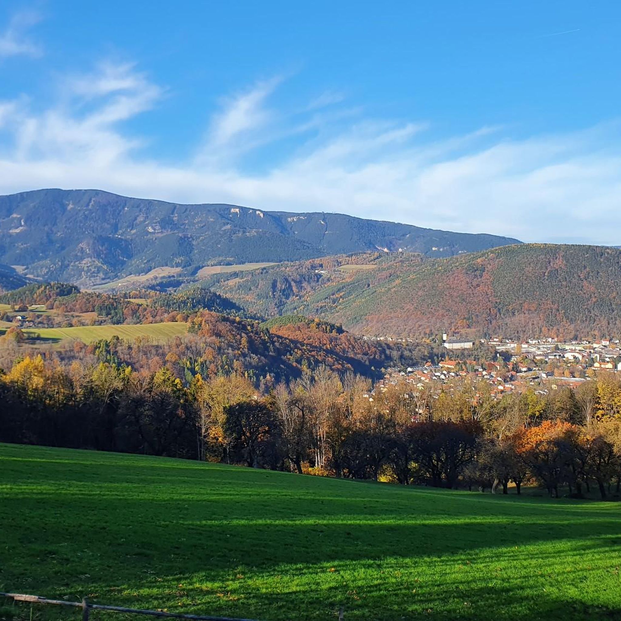
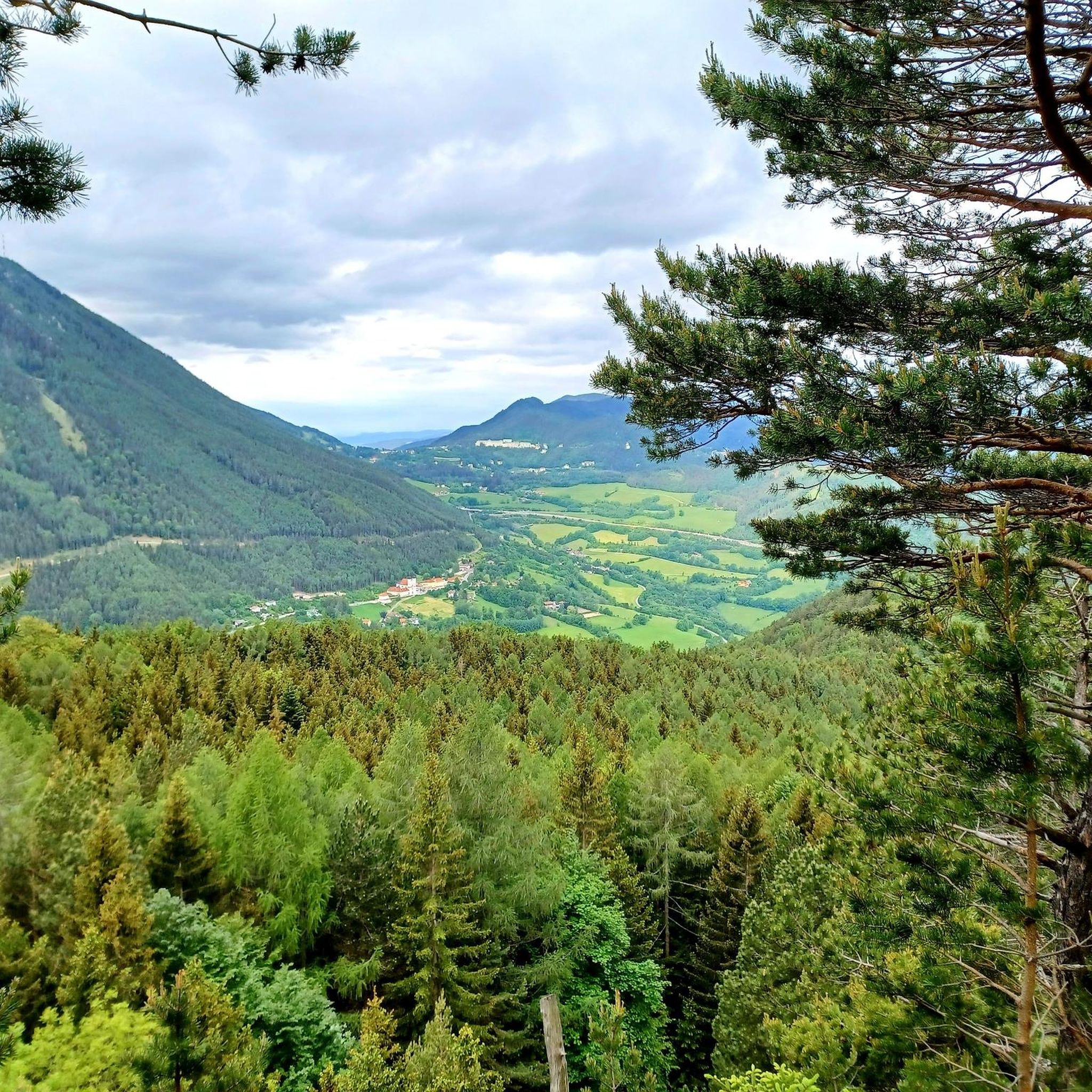
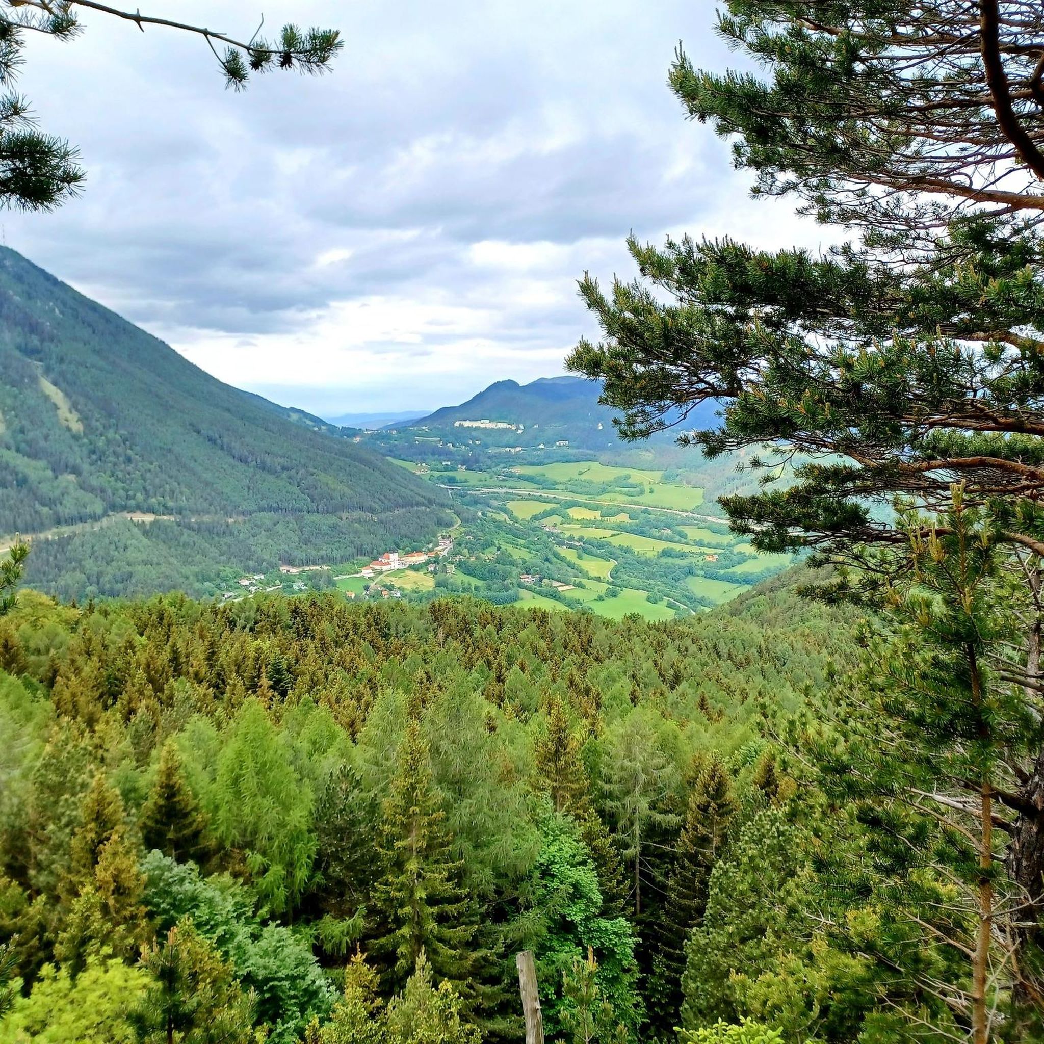
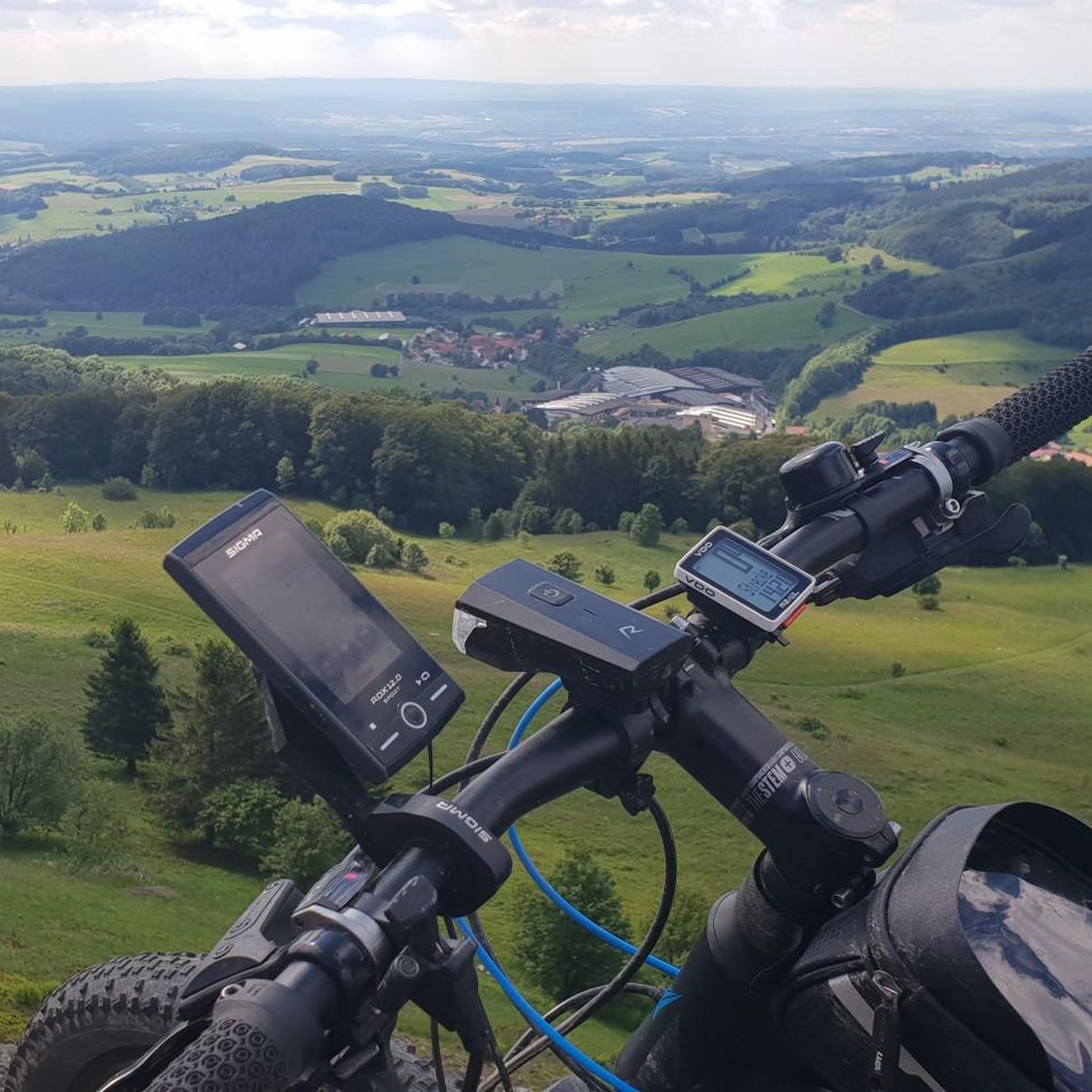

Tips from the Community

Super great to ride, highly recommended
3
0

It used to be a railway line. Very shady, so not too hot in summer. Lots of leaves in autumn. Mostly nicely wide.
0
0

From the Payerbach-Reichenau station, the first major structure of the Semmering Railway can already be made out. With a length of 227.6 meters and a height of 24.7 meters, the viaduct forms the longest structure of its kind on the Semmering line.
0
0

From Mürzzuschlag-Neuberg along the old railway line
1
0

Large parking lot, subject to charge (€ 5,- as of end of April 2026)
0
0
Beautiful cycle path next to the Mürz
3
0
Beautiful cycle path next to the Mürz
3
0
Nice place in the middle of the city
3
0
Frequently Asked Questions
What kind of terrain can I expect when road cycling in Probstwald?
Probstwald offers a varied terrain characteristic of a low mountain range, featuring a mix of ascents and descents. You'll find forested hills and river valleys, providing diverse conditions from challenging climbs to more moderate paths. This landscape is similar to what you might encounter in nearby regions like the Odenwald or Westerwald, known for their rolling hills and scenic valleys.
Are there road cycling routes suitable for beginners in Probstwald?
Yes, Probstwald has routes suitable for various skill levels, including beginners. While many routes feature significant elevation gain, there are 9 easy routes and 60 moderate routes available. These offer a balanced ride through varied scenery without overly demanding climbs, making them a good starting point for less experienced road cyclists.
What are some challenging road cycling routes in Probstwald?
For experienced road cyclists seeking a challenge, Probstwald offers 36 difficult routes. One notable option is the Gamperlfenster – Alte Reichsstraße loop from Klamm-Schottwien, a 63.6-mile (102.4 km) trail with significant elevation gain. Another demanding route is the Kalte Rinne Viaduct – Pfaffensattel Pass (1368 m) loop from Gloggnitz, which covers 86.5 km and includes nearly 2000 meters of climbing.
What attractions or landmarks can I see along the road cycling routes in Probstwald?
As you cycle through Probstwald, you can encounter several interesting landmarks. These include historical sites and religious buildings. For example, you might pass by the Schottwien Parish Church, the historic Wartenstein Castle, or the serene Schanz Chapel. The Manorial administrative building Schottwien is another point of interest.
What is the best time of year for road cycling in Probstwald?
The best seasons for road cycling in regions with similar landscapes, such as the Odenwald, are typically spring and autumn. During these times, the weather is mild, and nature is vibrant, offering pleasant temperatures and beautiful scenery. Summer can also be enjoyable, though it might be warmer, while winter often brings colder temperatures and potential snow, making road cycling less ideal.
Are there any circular road cycling routes in Probstwald?
Yes, many of the road cycling routes in Probstwald are designed as loops, allowing you to start and end at the same point. Examples include the Bridge over the Schwarza – Payerbach Viaduct loop from Klamm-Schottwien and the Kranichberg Castle – Gasteil Sculpture Park loop from Klamm-Schottwien. These circular routes offer convenient ways to explore the region's diverse scenery.
What do other road cyclists say about their experience in Probstwald?
The road cycling routes in Probstwald are highly rated by the komoot community, with an average score of 4.7 stars from over 150 reviews. Reviewers often praise the varied terrain, the natural setting of forested hills, and the options available for different ability levels, from moderate rides to challenging climbs.
Are there options for family-friendly road cycling in Probstwald?
While Probstwald's terrain includes significant ascents, the presence of 9 easy and 60 moderate routes suggests there are options that families could enjoy, especially those with some cycling experience. These routes would likely feature less elevation gain and more gentle paths, allowing for a more relaxed ride through the scenic landscape.
Can I find cafes or restaurants along the road cycling routes in Probstwald?
While specific cafes and restaurants directly on every route are not detailed, regions like Probstwald, especially those near historic towns or popular cycling areas, typically offer amenities for cyclists. It's advisable to check local maps or plan your route to include stops in nearby villages or towns for refreshments and meals.
How many road cycling routes are available in Probstwald?
There are over 100 road cycling routes available in Probstwald, offering a wide range of options for different skill levels and preferences. Specifically, you can choose from 105 distinct routes, including easy, moderate, and difficult trails.
What is the typical duration for a road cycling tour in Probstwald?
The duration of a road cycling tour in Probstwald varies greatly depending on the route's distance and difficulty. For example, a moderate route like the Bridge over the Schwarza – Payerbach Viaduct loop from Klamm-Schottwien (38.5 km) takes approximately 1 hour 48 minutes. More challenging routes, such as the Gamperlfenster – Alte Reichsstraße loop from Klamm-Schottwien (102.4 km), can take around 5 hours 38 minutes.
Is public transport available to access road cycling routes in Probstwald?
While specific public transport connections directly to every trailhead in Probstwald are not detailed, regions with varied terrain like this often have bus or train services connecting to larger towns. From these towns, you might be able to cycle to the starting points of routes. It's recommended to research local transport options for specific access points.
Most popular routes in Probstwald
Most popular attractions in Probstwald

Get inspired with the komoot mobile app


Explore more
Browse the best Road cycling routes in other regions.
