The best mountain hikes in Kohlrießgraben
66
hikers
7
hikes
Mountaineering in Kohlrießgraben, located in Steiermark, Austria, features routes with significant elevation gains and alpine summits. The region is characterized by challenging ascents to peaks such as Lärchkogel (1,894 m) and Speikkogel. These routes navigate through varied mountain terrain, offering experiences for different skill levels.
Best mountaineering routes in Kohlrießgraben
- The most popular mountaineering route is Rest Area at Cabin 19 – Lärchkogel Summit (1,894 m) loop from Geierkögerl, a 7.6 miles (12.2 km) trail that takes 4 hours…
Last updated: July 9, 2026
23
hikers
Moderate mountaineering route. Good fitness required. Mostly accessible paths. Sure-footedness required.
7
hikers
10.0km
03:51
710m
710m
Moderate mountaineering route. Good fitness required. Easily-accessible paths. Suitable for all skill levels.

Sign up for free
6
hikers
16.8km
06:26
1,130m
1,130m
Hard mountaineering route. Very good fitness required. Mostly accessible paths. Sure-footedness required.
7
hikers
Moderate mountaineering route. Good fitness required. Mostly accessible paths. Sure-footedness required.
7
hikers
16km
06:53
1,120m
1,120m
Hard mountaineering route. Very good fitness required. Mostly accessible paths. Sure-footedness required.
Get access to more routes and recommendations from other explorers.
Sign up for free
Already have an account?
Our route recommendations are based on thousands of hikes, rides, and runs completed by other people on komoot.
Start today with a free account
Your next adventure awaits.
Login or Signup


Tips from the Community

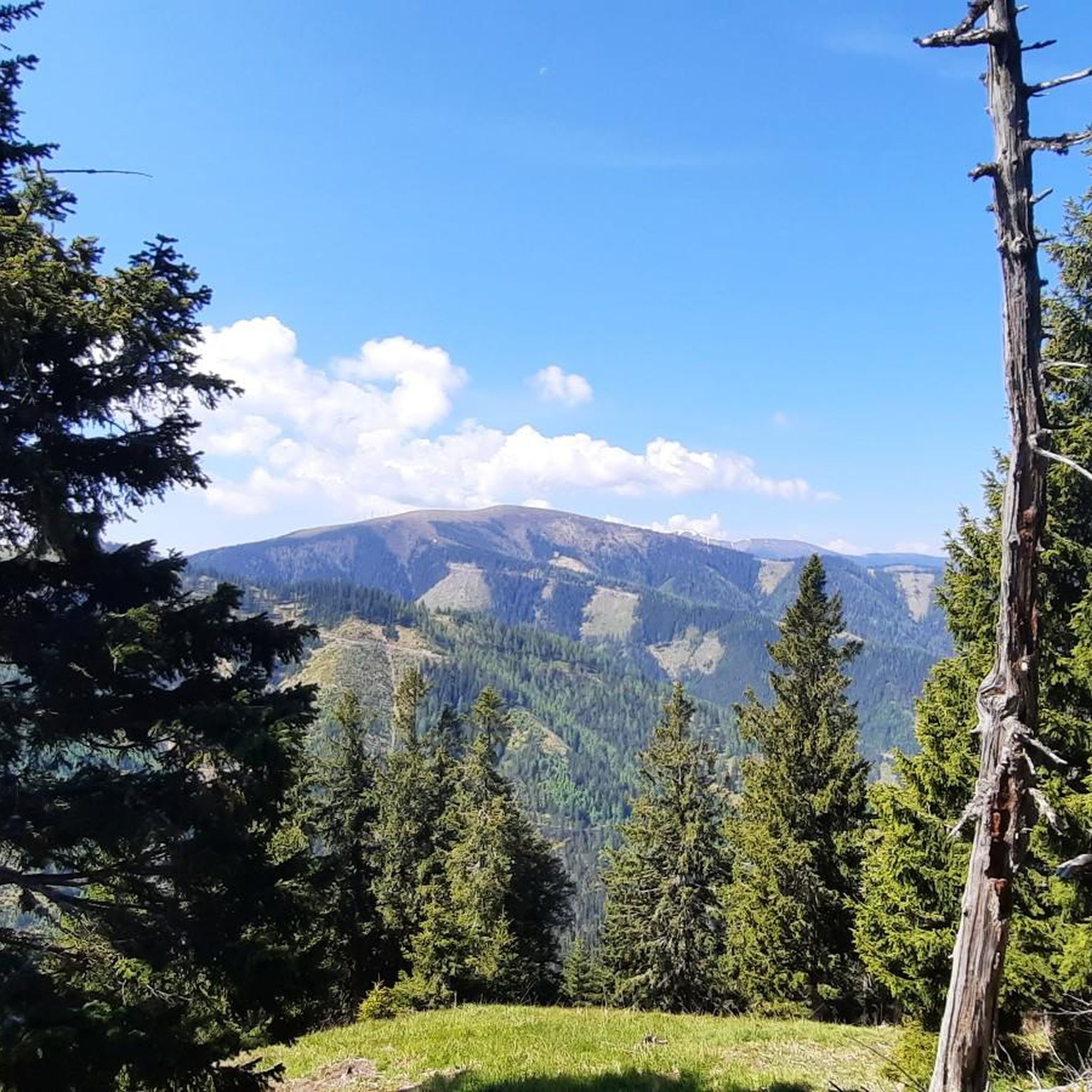
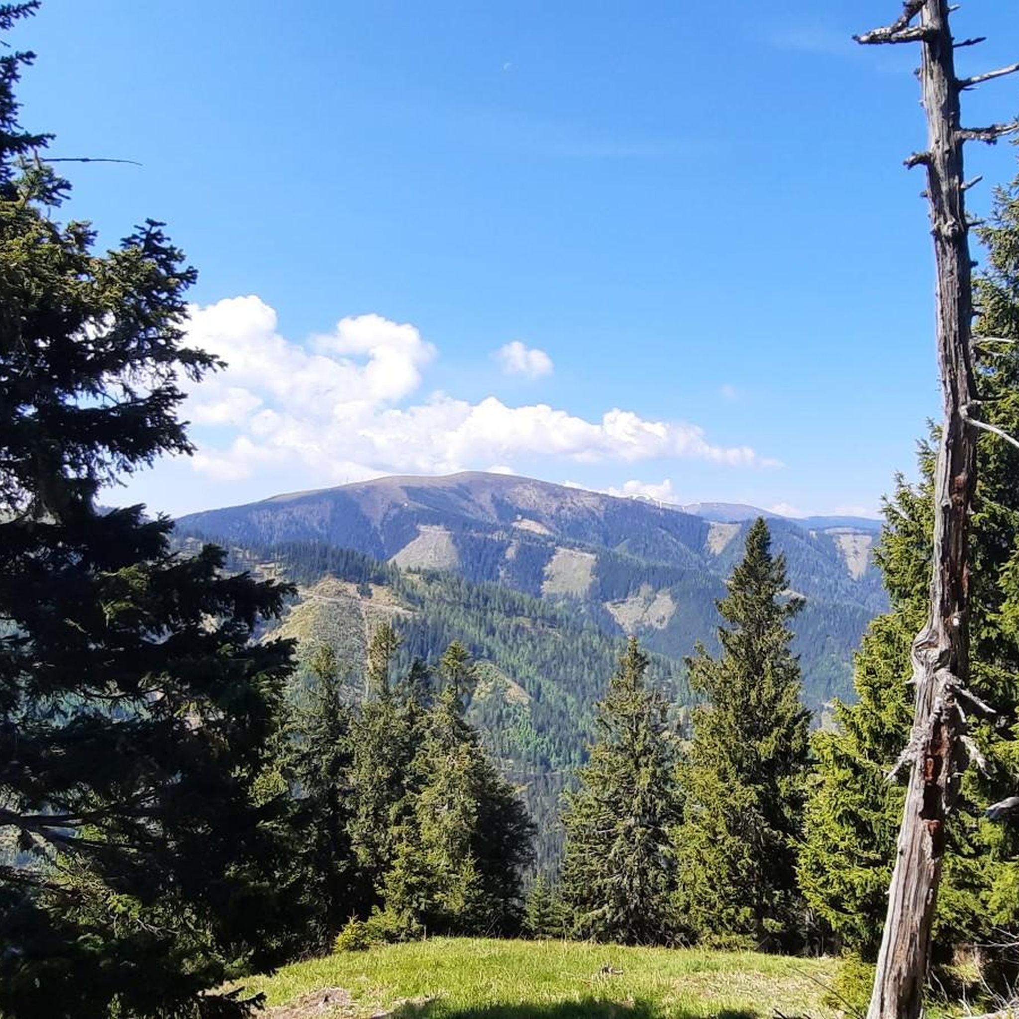
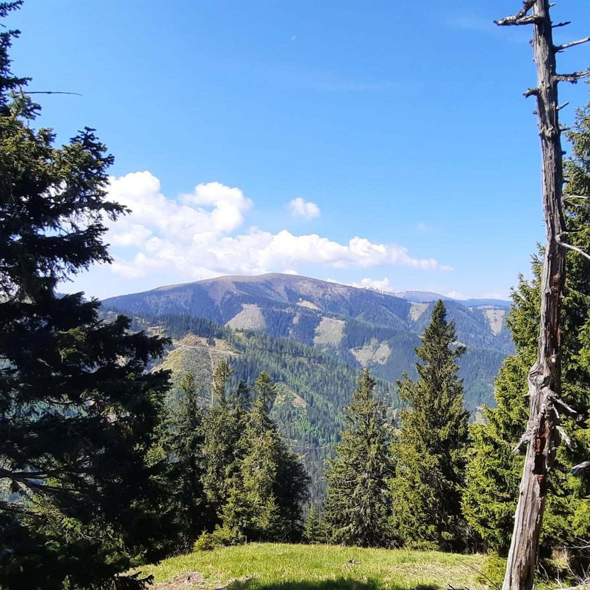
When the weather is clear, you can enjoy a wonderful mountain panorama from the Hochschwab to the Groß Glockner.
0
0

Nice little parking lot.
2
0
Nice place to take a break.
1
0
Very nice view, take your time and enjoy.
3
0
Very nice view from above, highly recommended.
1
0

It's not far to the summit...
3
0
I did the hike on Thursday because hurricane-force winds were forecast in the mountains on Friday. I was very surprised when I had to brave hurricane-force winds near the summit on Thursday afternoon, especially at the summit. The storm was so strong that I had trouble standing upright. In addition, the hurricane almost knocked over the electric jeep, even though it weighs about 7 kilograms. The storm also almost tore the camera out of my hands. But that didn't stop me from enjoying climbing the summit. The view from the Lärchkogel is fantastic. Next summer I will definitely hike over the Lärchkogel to the Speikkogel.
3
0
This place provides drinking water, seating and a toilet.
3
0
Frequently Asked Questions
What types of mountaineering routes can I find in Kohlrießgraben?
Kohlrießgraben offers a variety of mountaineering routes, ranging from moderate to difficult. These trails feature significant elevation gains, leading to alpine summits like Lärchkogel (1,894 m) and Speikkogel. You'll navigate through diverse mountain terrain, with options suitable for different skill levels.
What are the typical difficulty levels for mountaineering in Kohlrießgraben?
The mountaineering routes in Kohlrießgraben are predominantly classified as moderate or difficult. For example, the Rest Area at Cabin 19 – Lärchkogel Summit (1,894 m) loop from Geierkögerl is a moderate route, while the Speikkogel – Gleinalm Schutzhaus loop from Hoyer is considered difficult, involving over 1,100 meters of elevation gain.
Are there any circular mountaineering routes in Kohlrießgraben?
Yes, Kohlrießgraben features several excellent circular mountaineering routes. A popular moderate option is the Mountaineering loop from Lärchkogel Winterparkplatz, which covers 10 km with over 700 meters of elevation gain. Another is the Lärchkogel Summit (1,894 m) – Rest Area at Cabin 19 loop from Lärchkogel Sommerparkplatz.
What is the best time of year for mountaineering in Kohlrießgraben?
Mountaineering in Kohlrießgraben is best enjoyed during the warmer months when trails are clear of snow and ice, typically from late spring through early autumn. Given the alpine nature and significant elevations, conditions can change rapidly, so always check local weather forecasts before heading out.
What kind of elevation changes can I expect on these routes?
You can expect substantial elevation changes on Kohlrießgraben's mountaineering routes. For instance, the Rest Area at Cabin 19 – Lärchkogel Summit (1,894 m) loop from Geierkögerl involves over 840 meters of ascent, while the difficult Speikkogel – Gleinalm Schutzhaus loop from Hoyer has over 1,100 meters of climbing.
Are there any mountain huts or refuges along the routes?
Yes, some mountaineering routes in Kohlrießgraben offer access to mountain huts. For example, the Speikkogel – Gleinalm Schutzhaus loop from Hoyer leads through high alpine terrain and includes the Gleinalm Schutzhaus, providing a potential stop for rest or refreshment.
What do other mountaineers say about the routes in Kohlrießgraben?
Over 70 mountaineers have explored Kohlrießgraben's varied terrain using komoot. Users often highlight the challenging ascents to prominent summits like Lärchkogel and Speikkogel, appreciating the high alpine scenery and the well-defined mountain paths.
Are there any shorter or less demanding mountaineering options for beginners?
While Kohlrießgraben's routes are generally moderate to difficult, some are shorter than others. The Mugel loop from Mugel is a moderate 8.3 km route with around 500 meters of elevation gain, which might be a more manageable option for those newer to mountaineering compared to the longer, more strenuous tours.
What kind of terrain should I expect on these mountaineering trails?
The mountaineering trails in Kohlrießgraben traverse varied mountain terrain, including forest paths, rocky sections, and open alpine slopes. You'll encounter significant elevation changes and paths leading to high alpine summits, requiring good physical condition and appropriate footwear.
Is it possible to reach the trailheads using public transport?
Information regarding specific public transport connections to individual trailheads in Kohlrießgraben is not readily available. It is generally advisable to plan for personal vehicle access or check local bus schedules for the Steiermark region if you intend to rely on public transport.
Where can I park my car when starting a mountaineering tour?
Many routes originate from designated parking areas. For instance, the Mountaineering loop from Lärchkogel Winterparkplatz starts from a specific winter parking area, and the Lärchkogel Summit (1,894 m) – Rest Area at Cabin 19 loop from Lärchkogel Sommerparkplatz begins from a summer parking area. Always check the specific route details for recommended parking locations.
Do I need any special permits for mountaineering in Kohlrießgraben?
There is no indication that special permits are required for general mountaineering on the listed routes in Kohlrießgraben. However, it's always good practice to respect local regulations and private property signs, especially if traversing agricultural or forested areas.
Most popular routes in Kohlrießgraben

Get inspired with the komoot mobile app


Explore more
Browse the best Mountain Hikes & Routes in other regions.
