The best walks and hikes in Wukounigwald
4.7
(774)
4,898
hikers
178
hikes
Hiking in Wukounigwald, a forested area within the Völkermarkt district of Austria, offers diverse natural features for outdoor activities. The region is characterized by its dense forests and proximity to the Karawanken Mountains, providing varied elevations and panoramic views. Hikers can expect vistas of the Jauntal valley and access to nearby idyllic swimming lakes such as Klopeiner See and Turnersee, as well as the Völkermarkt reservoir. This landscape provides a mix of mountainous terrain, lush woodlands, and serene waterscapes.
Best…
Last updated: June 26, 2026
4.6
(9)
33
hikers
12.6km
03:44
380m
380m
Moderate hike. Good fitness required. Easily-accessible paths. Suitable for all skill levels.
4.0
(2)
26
hikers
7.69km
02:43
440m
440m
Moderate hike. Good fitness required. Easily-accessible paths. Suitable for all skill levels.

Sign up for free
4.3
(3)
10
hikers
15.6km
05:12
730m
730m
Hard hike. Very good fitness required. Mostly accessible paths. Sure-footedness required.
5.0
(5)
9
hikers
10.7km
03:09
330m
330m
Moderate hike. Good fitness required. Easily-accessible paths. Suitable for all skill levels.
10
hikers
12.7km
03:51
440m
440m
Moderate hike. Good fitness required. Easily-accessible paths. Suitable for all skill levels.
Get access to more routes and recommendations from other explorers.
Sign up for free
Already have an account?
Our route recommendations are based on thousands of hikes, rides, and runs completed by other people on komoot.
Start today with a free account
Your next adventure awaits.
Login or Signup
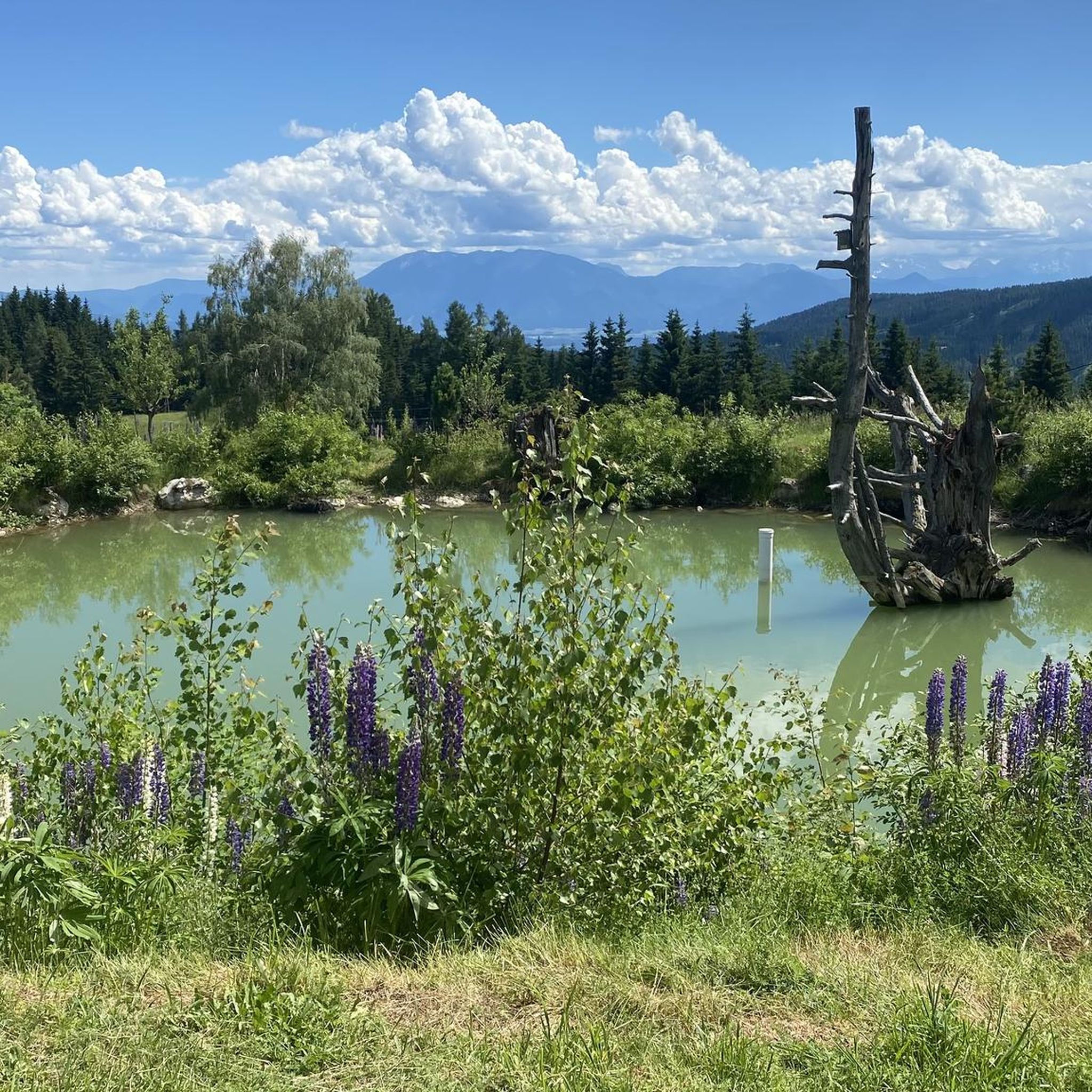
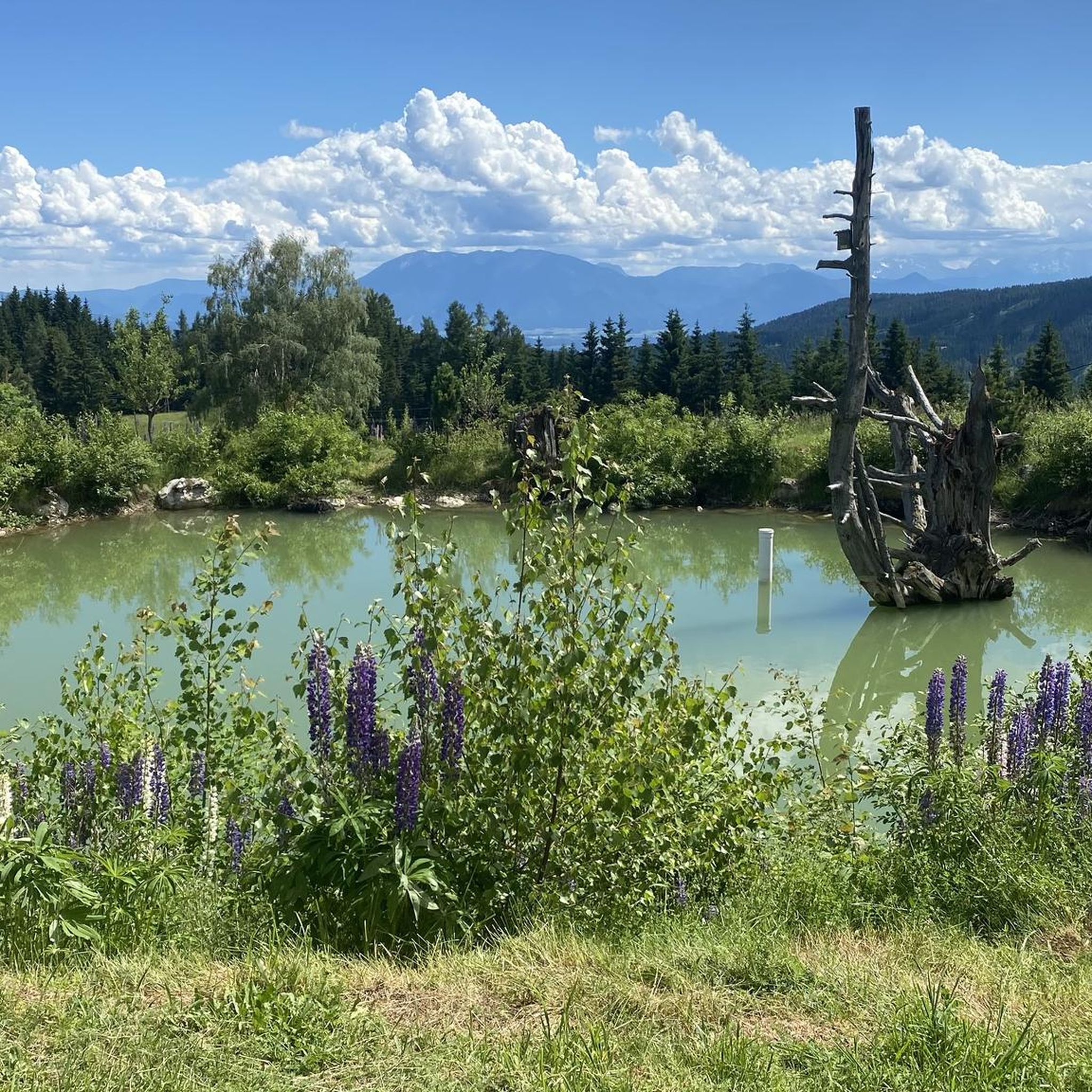
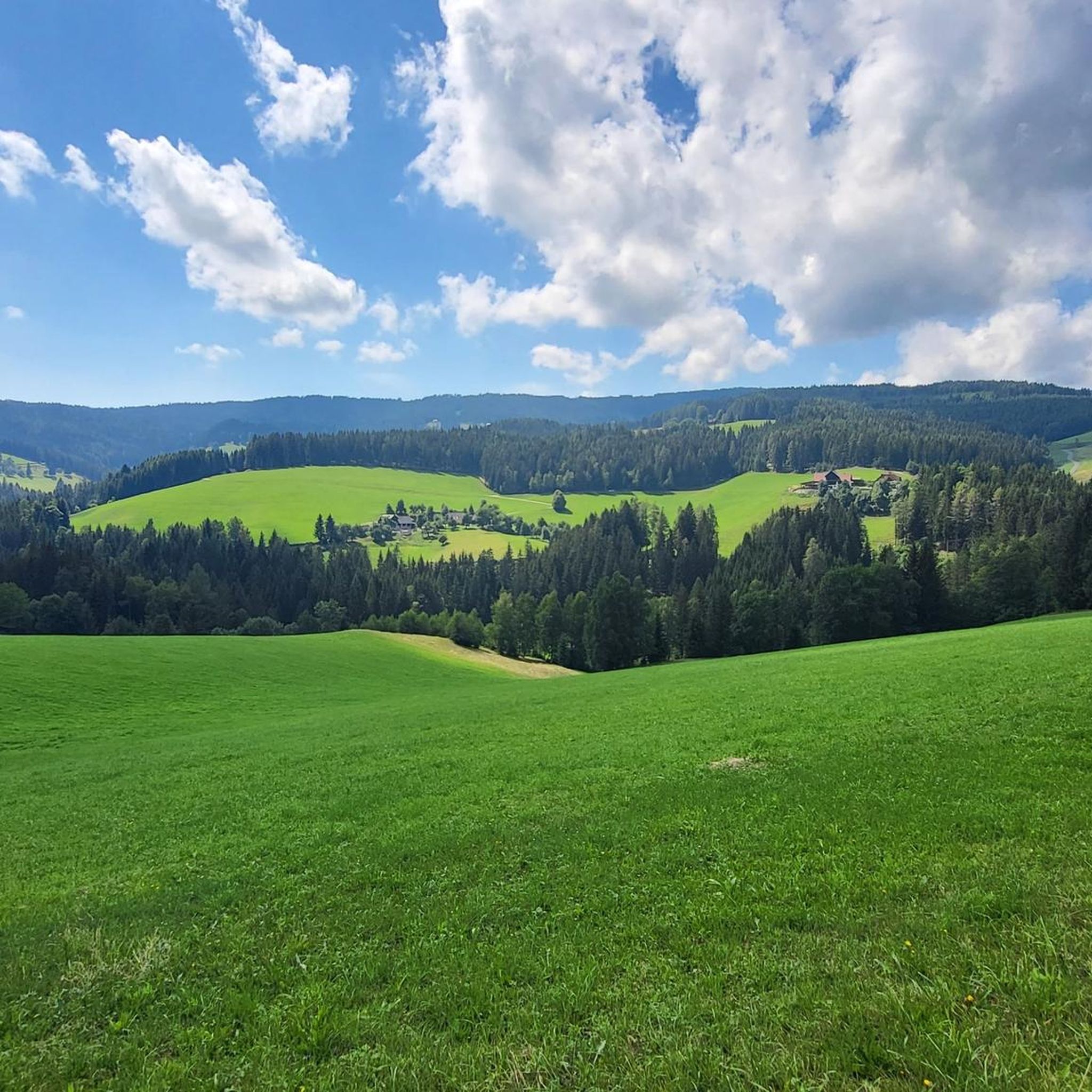
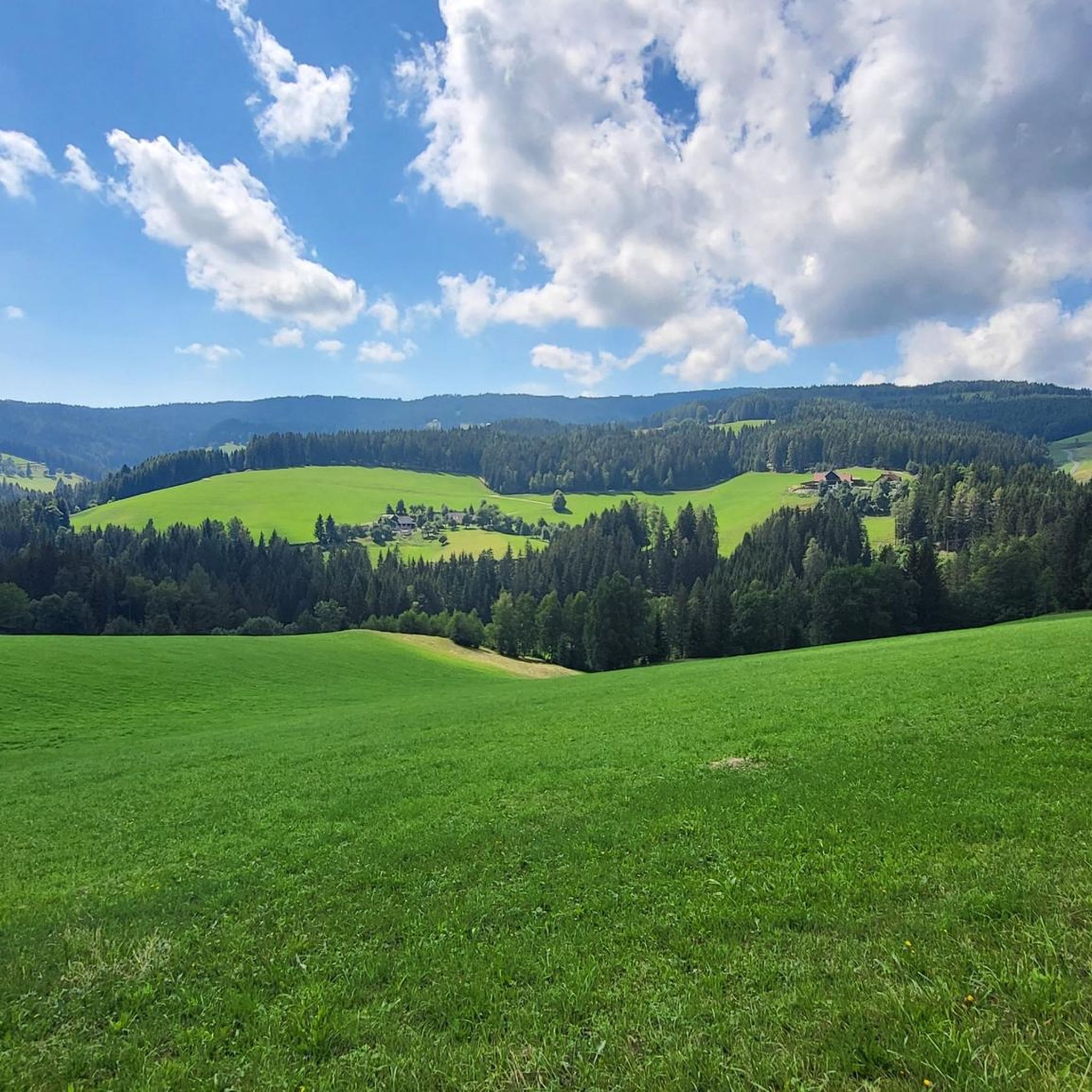
Tips from the Community

Due to the unsustainable use of the launch area, the landowner has removed the fencing and prohibited its use for launches with aircraft!
0
0
The Diex parish church is one of the best preserved fortified churches in Carinthia and is located in the center of Diex on the southern slope of the Saualpe. It is dedicated to Saint Martin. The church was first mentioned in a Gurk land register in 1326, but its origins date back to before 1168.
1
0

Idyllic place with a memorial cross and a bench in the forest, at a crossroads.
1
0

The Zingerle Kreuz (1,891 m) is located on the Saualpe and is very easy to reach. From the Wolfsberger Hütte car park, it takes about 30 minutes if you take a leisurely hike. I slept at the Wolfsberger Hütte and hiked up to see the sunset and sunrise. Fantastically beautiful and highly recommended!
1
0

Kleiner Sauofen is another peak on this mountain range. The view is mega
1
0

Nice hosts, delicious food and great view - highly recommended 👍
1
0
Pleasantly accessible summit with beautiful views
1
0
Since 2023, the old Diex warehouse has housed a small museum and a self-service shop with regional products (eggs, potatoes, pasta, flour, oils, bacon, soaps, creams, ...). Open all day.
1
0
Frequently Asked Questions
How many hiking trails are available in Wukounigwald?
Wukounigwald offers a wide range of hiking opportunities, with over 180 trails recorded on komoot. These routes cater to various preferences, from leisurely walks to more challenging mountain excursions.
What is the best time of year to go hiking in Wukounigwald?
The region is generally best for hiking from spring through autumn. During these seasons, you can enjoy the lush forests and meadows, as well as the scenic views of the Jauntal valley and the Karawanken mountains. While specific winter conditions vary, some trails might be suitable for snowshoeing, but it's always advisable to check local conditions.
What kind of terrain can I expect on Wukounigwald's hiking trails?
Hikers in Wukounigwald can expect a diverse landscape. Trails often traverse dense forests and open meadows, with many routes offering mountainous backdrops from the nearby Karawanken range. You'll find a mix of varied elevations and serene waterscapes, including views of the Jauntal valley and proximity to lakes like Klopeiner See.
Are there family-friendly hiking options in Wukounigwald?
Yes, Wukounigwald offers numerous trails suitable for families. With 46 easy routes available, you can find paths that are less strenuous and perfect for a day out with children. These trails often wind through forests and offer pleasant natural experiences.
Can I bring my dog on the hiking trails in Wukounigwald?
Many trails in Wukounigwald are dog-friendly, allowing you to enjoy the natural beauty with your canine companion. However, it's always recommended to keep dogs on a leash, especially in areas with wildlife or near livestock, and to check specific trail regulations before you go.
What natural features or landmarks can I see while hiking in Wukounigwald?
While hiking, you can enjoy panoramic views of the Jauntal valley and the dramatic backdrop of the Karawanken Mountains. The region is also close to idyllic swimming lakes like Klopeiner See and Turnersee, and the Völkermarkt reservoir. For specific points of interest, consider visiting Messner Cross or exploring the area around Wolfstratte (1587 m).
Are there any circular hiking routes in Wukounigwald?
Yes, Wukounigwald features many excellent circular hiking routes. An example is the Gästehaus ZAT118 loop from Blauer Herrgott, which offers a moderate 10.7 km experience. Many other loop trails are available, allowing you to start and end at the same point.
What do other hikers enjoy most about Wukounigwald?
The hiking trails in Wukounigwald are highly regarded by the komoot community, boasting an average rating of 4.7 stars from over 750 reviews. Hikers frequently praise the diverse natural settings, the mix of impressive nature and cultural highlights, and the varied routes that cater to different fitness levels.
What are the options for parking when hiking in Wukounigwald?
Parking availability varies depending on the specific trailhead. Many popular starting points for hikes, especially near villages or attractions, offer designated parking areas. It's advisable to check the route details on komoot or local signage for the most accurate parking information for your chosen trail.
Is public transport available to access hiking trails in Wukounigwald?
Public transport options exist within the Völkermarkt district, which encompasses Wukounigwald. While direct access to every trailhead might not be available, buses often connect major towns and villages, from which you might be able to reach certain starting points. For detailed schedules and routes, consulting local transport services is recommended.
Are there places to eat or stay near the hiking trails in Wukounigwald?
The Völkermarkt district offers various amenities for hikers. You can find cafes, pubs, and accommodation options in nearby towns and villages. Some trails might also pass by mountain huts or guesthouses, such as Brunner Hütten, where you can stop for refreshments or an overnight stay.
Are there any easy hikes suitable for beginners in Wukounigwald?
Yes, Wukounigwald has 46 easy-rated trails perfect for beginners or those looking for a relaxed walk. These routes typically have minimal elevation gain and are shorter in distance, allowing for a pleasant introduction to the region's natural beauty without significant physical exertion.
Where can I find panoramic viewpoints in Wukounigwald?
Many trails in Wukounigwald offer stunning panoramic views, particularly those that ascend into the higher elevations or traverse open areas. The proximity to the Karawanken Mountains ensures dramatic backdrops, and routes overlooking the Jauntal valley provide expansive vistas. For a specific viewpoint, consider the area around Wolfstratte (1587 m).
Most popular routes in Wukounigwald
Most popular attractions in Wukounigwald

Get inspired with the komoot mobile app


Explore more
Browse the best Hikes in other regions.
