The best road cycling routes in Langjahn
4.8
(80)
1,575
riders
138
rides
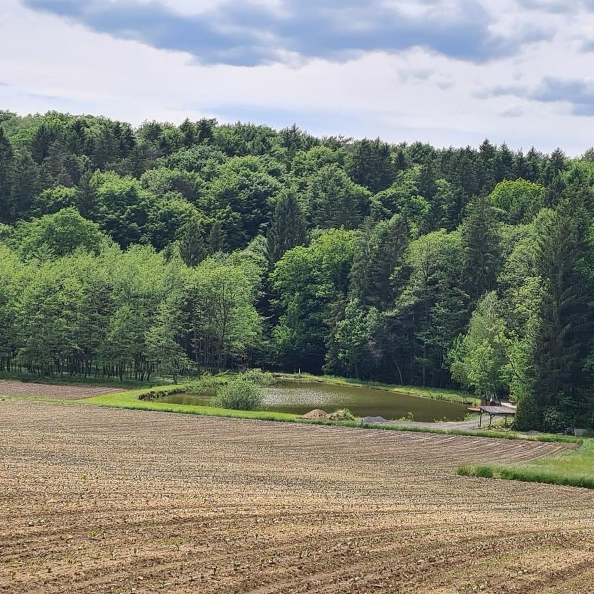
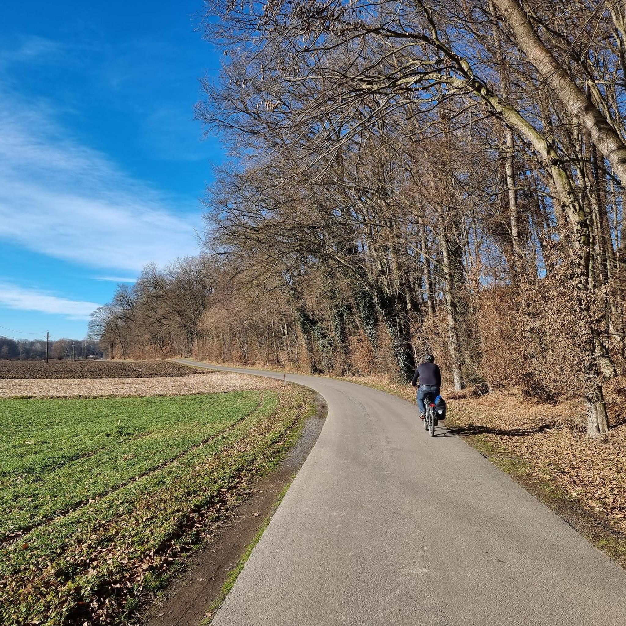
Road cycling routes in Langjahn traverse a landscape characterized by forests and rolling hills, typical of the Südoststeiermark region. The terrain features moderate elevation changes, with routes often following river valleys and passing through agricultural areas. This composition provides varied road cycling experiences, from flatter sections to more challenging ascents.
Best road cycling routes in Langjahn
- The most popular road cycling route is Röcksee – Mureck Border Bridge loop from Ratschendorf, a 28.6 miles (46.0 km) trail that takes…
Last updated: June 26, 2026
29
riders
46.6km
02:07
340m
340m
Hard road ride. Good fitness required. You may need to push your bike for some segments of this route.
4
riders
40.9km
01:58
130m
130m
Moderate road ride. Great for any fitness level. Some segments of this route may be unpaved and difficult to ride.

Sign up for free
10
riders
50.3km
02:03
240m
240m
Moderate road ride. Good fitness required. Mostly well-paved surfaces and easy to ride.
10
riders
85.5km
03:41
560m
560m
Moderate road ride. Good fitness required. Mostly well-paved surfaces and easy to ride.
6
riders
38.7km
02:08
330m
330m
Moderate road ride. Good fitness required. Some segments of this route may be unpaved and difficult to ride.
Get access to more routes and recommendations from other explorers.
Sign up for free
Already have an account?
Our route recommendations are based on thousands of hikes, rides, and runs completed by other people on komoot.
Start today with a free account
Your next adventure awaits.
Login or Signup

Tips from the Community

Very nice border crossing and you can get something to eat and drink right away
0
0

Cyclist-friendly cafe, great breakfast
0
0

Beautiful route with great opportunities to stop for refreshments
4
0

Austria 🇦🇹 - Slovenia 🇸🇮 border
1
0
A super nice wide gravel road, no traffic, really pleasant to drive
4
0
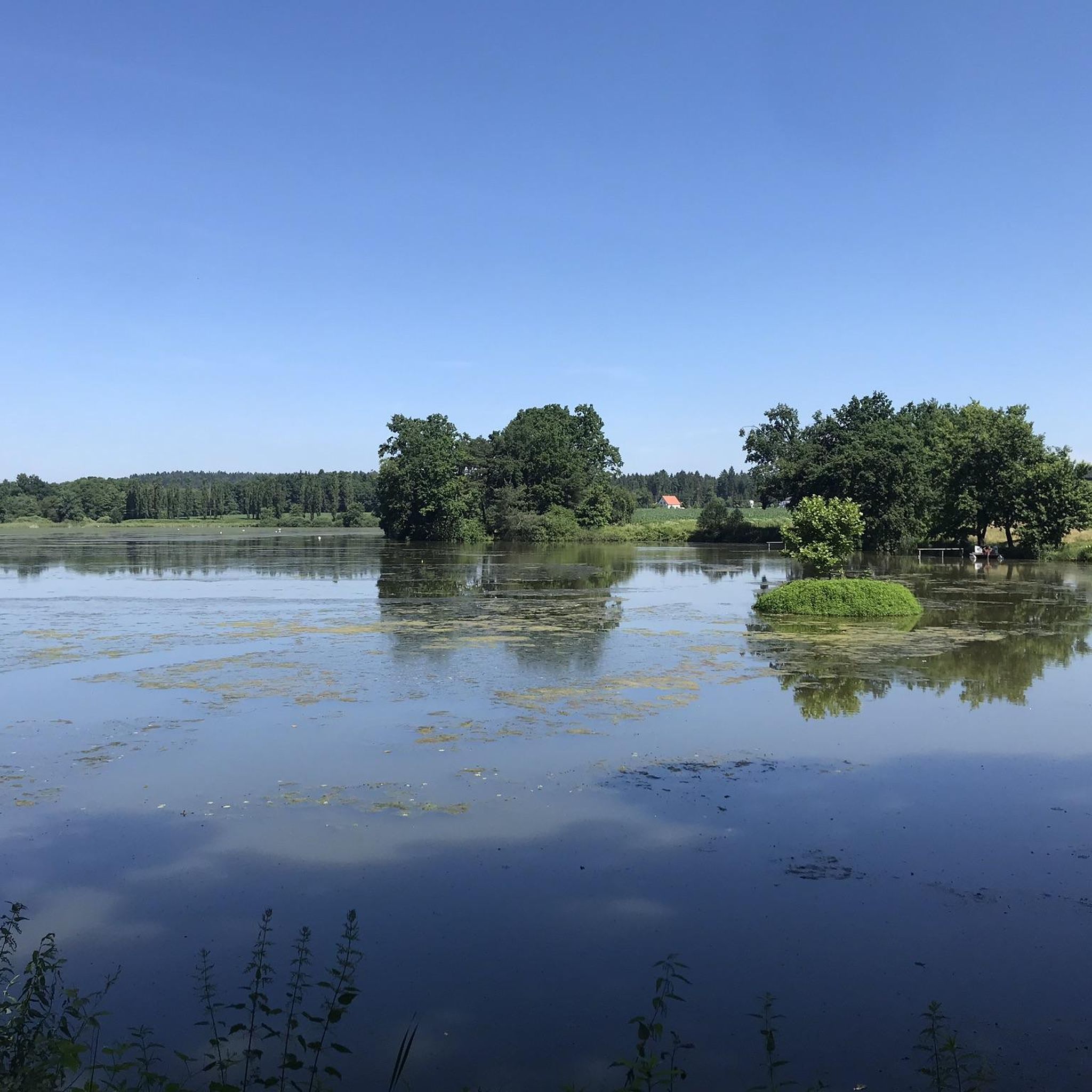
A super nice tour, lots of asphalt roads, but also gravel paths, partly along the Mur, great views, beautiful towns, good food, great lakes and ponds, a short ride on the Mur ferry (free), highly recommended
4
0
A super nice tour, lots of asphalt roads, but also gravel paths, partly along the Mur, great views, beautiful towns, good food, great lakes and ponds, a short ride on the Mur ferry (free), highly recommended
4
0
A super nice tour, lots of asphalt roads, but also gravel paths, partly along the Mur, great views, beautiful towns, good food, great lakes and ponds, a short ride on the Mur ferry (free), highly recommended
4
0
Frequently Asked Questions
How many road cycling routes are available in Langjahn?
Langjahn offers a wide selection of road cycling routes, with over 140 different tours available on komoot. These routes traverse a landscape characterized by forests, rolling hills, and river valleys.
What kind of terrain can I expect on road cycling routes in Langjahn?
Road cycling routes in Langjahn feature a diverse landscape of forests and rolling hills, typical of the Südoststeiermark region. You'll encounter moderate elevation changes, with many routes following river valleys and passing through agricultural areas, offering a mix of flatter sections and more challenging ascents.
Are there road cycling routes for all skill levels in Langjahn?
Yes, Langjahn provides road cycling options for various abilities. There are 34 easy routes, 92 moderate routes, and 15 difficult routes, ensuring that both beginners and experienced cyclists can find suitable challenges.
What do other cyclists say about road cycling in Langjahn?
The road cycling routes in Langjahn are highly rated by the komoot community, with an average score of 4.7 stars from over 70 reviews. Cyclists often praise the varied terrain, scenic views, and the well-curated selection of tours.
Are there any beginner-friendly road cycling routes in Langjahn?
Yes, Langjahn has 34 easy road cycling routes suitable for beginners or those looking for a more relaxed ride. These routes typically feature less challenging elevation profiles and shorter distances.
Where can I find a challenging road cycling route in Langjahn?
For a challenging ride, consider the Röcksee – Mureck Border Bridge loop from Ratschendorf. This difficult route covers 28.6 miles (46.0 km) with over 330 meters of elevation gain, taking approximately 2 hours and 5 minutes to complete.
Are there any circular road cycling routes in Langjahn?
Many of the road cycling routes in Langjahn are designed as loops. For example, the Mureck Border Bridge – Mureck Town Hall loop from Wittmannsdorf is a moderate 25.4-mile (40.9 km) circular path that offers views of the Mureck area.
Which road cycling routes offer scenic views in Langjahn?
The View of Straden – Ottersbachmühle loop from Ratschendorf is known for its scenic views, leading through rolling hills. Another option is the Mureck Border Bridge – Röcksee loop from Sankt Peter am Ottersbach, which also provides picturesque landscapes.
What is the longest road cycling route available in Langjahn?
One of the longer routes is the Gamlitz Town Center – Hop Fields in Leutschach loop from Gosdorf. This moderate route spans 53.1 miles (85.5 km) and involves over 560 meters of elevation gain, typically taking around 3 hours and 40 minutes to complete.
Are there road cycling routes in Langjahn that pass by lakes or rivers?
Yes, some routes incorporate water features. The Röcksee – Mureck Border Bridge loop from Ratschendorf includes sections along a lake and near a border crossing, offering varied scenery.
What is the typical elevation profile for road cycling in Langjahn?
The elevation profile in Langjahn is generally characterized by moderate changes, reflecting the region's rolling hills. While some routes feature significant climbs, like the Gamlitz Town Center – Hop Fields in Leutschach loop from Gosdorf with over 560 meters of ascent, many routes follow river valleys, offering a mix of flatter and gently undulating sections.
Most popular routes in Langjahn

Get inspired with the komoot mobile app


Explore more
Browse the best Road cycling routes in other regions.
