The best walks and hikes in Zickenwald
4.5
(270)
1,966
hikers
260
hikes
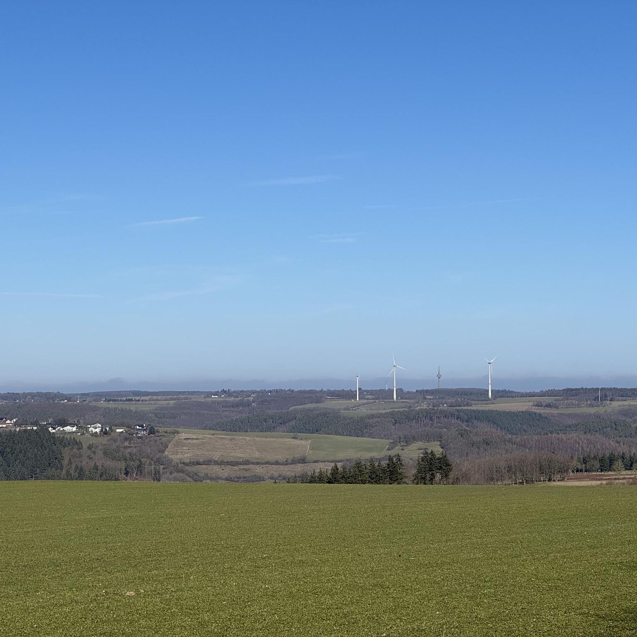
Hiking in Zickenwald offers a diverse landscape characterized by forested areas and varied terrain, providing a range of experiences for outdoor enthusiasts. The region features gentle ascents and descents, making it suitable for different fitness levels. Hikers can explore paths that wind through woodlands and open spaces, often alongside natural water features like the Strem River. This area in Bezirk Güssing provides numerous trails for walking and hiking.
Best hiking trails in Zickenwald
- The most popular hiking route is Stausee…
Last updated: June 26, 2026
4.0
(2)
18
hikers
Easy hike. Great for any fitness level. Easily-accessible paths. Suitable for all skill levels.
4.5
(2)
8
hikers
Easy hike. Great for any fitness level. Easily-accessible paths. Suitable for all skill levels.

Sign up for free
4.0
(1)
7
hikers
4.40km
01:08
20m
20m
Easy hike. Great for any fitness level. Easily-accessible paths. Suitable for all skill levels.
5
hikers
6.76km
01:54
140m
140m
Easy hike. Great for any fitness level. Easily-accessible paths. Suitable for all skill levels.
3
hikers
Easy hike. Great for any fitness level. Easily-accessible paths. Suitable for all skill levels.
Get access to more routes and recommendations from other explorers.
Sign up for free
Already have an account?
Our route recommendations are based on thousands of hikes, rides, and runs completed by other people on komoot.
Start today with a free account
Your next adventure awaits.
Login or Signup
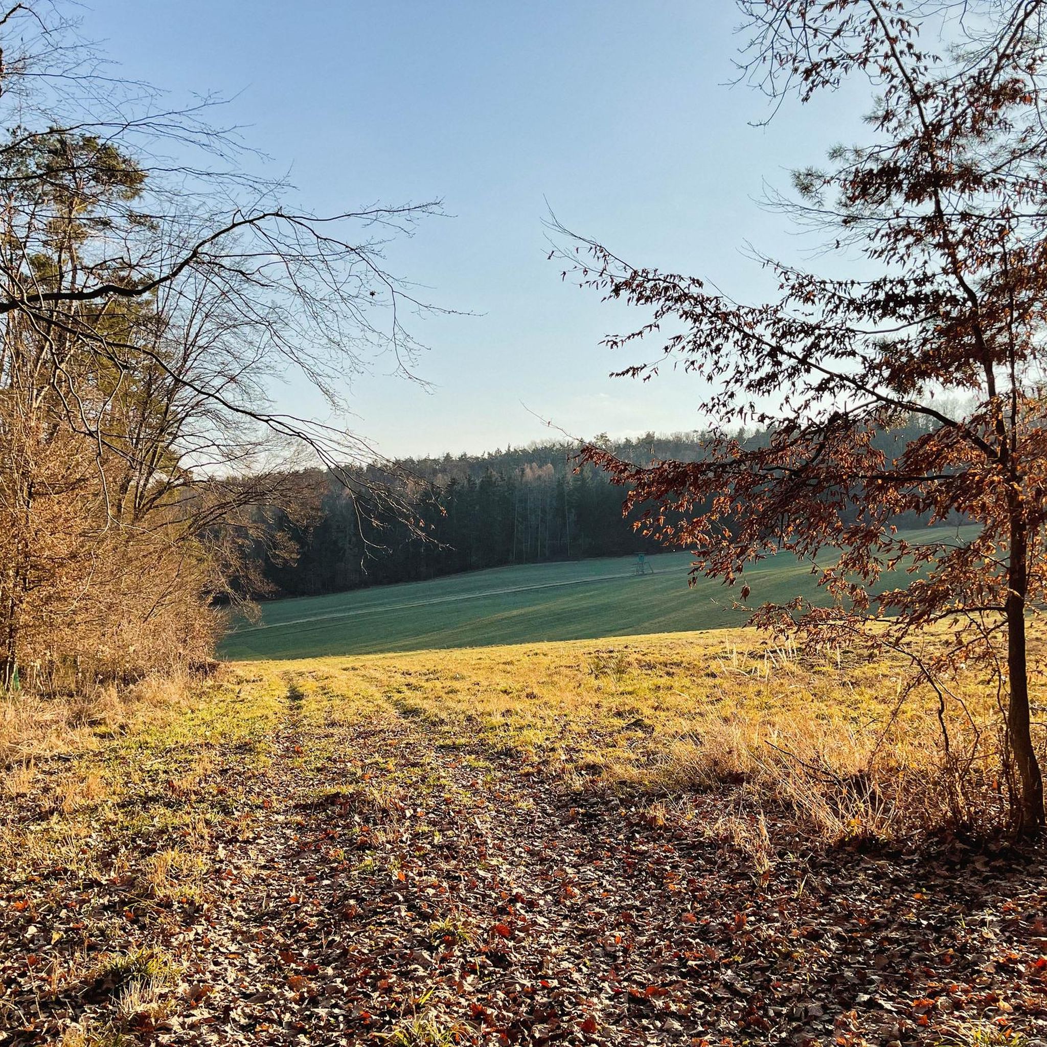
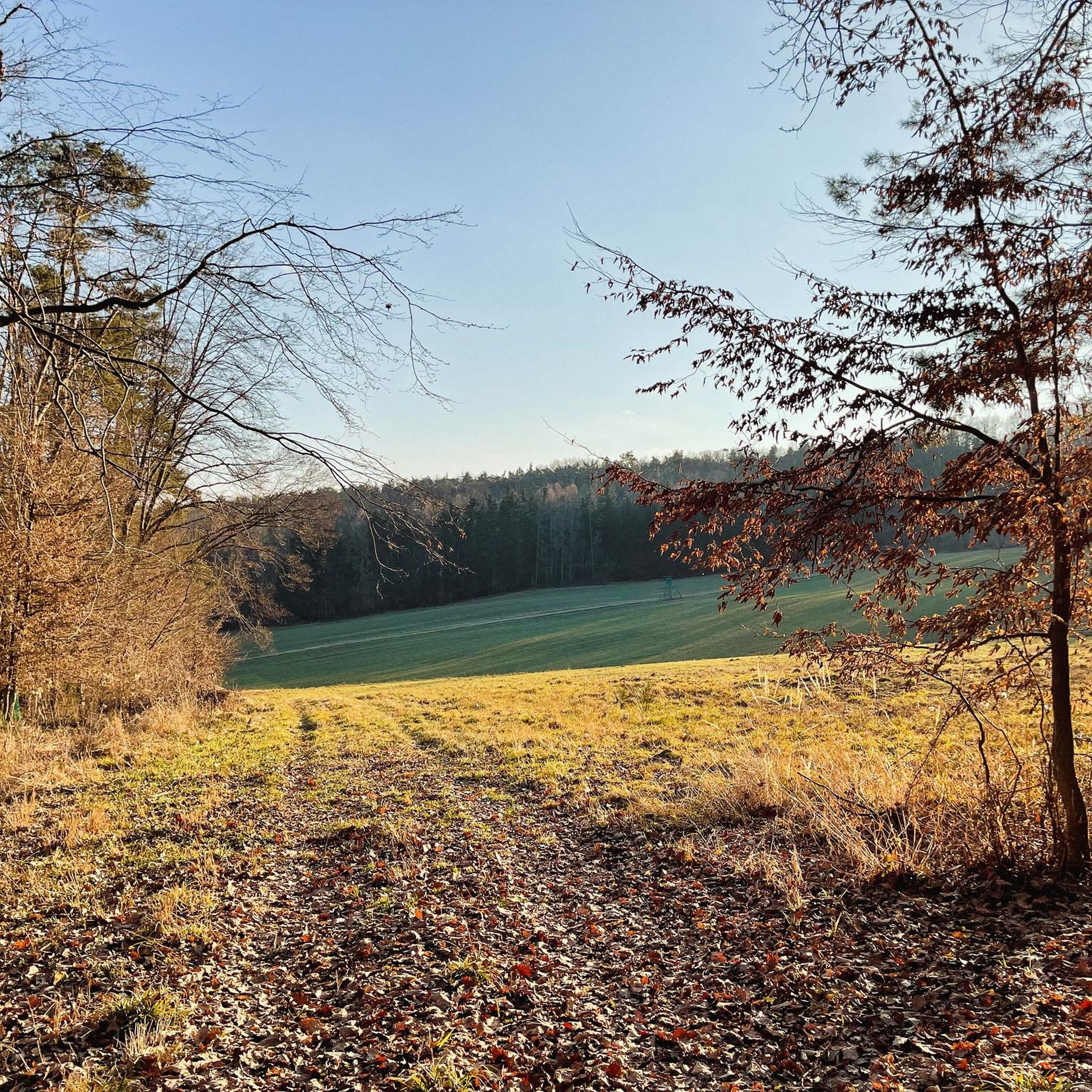
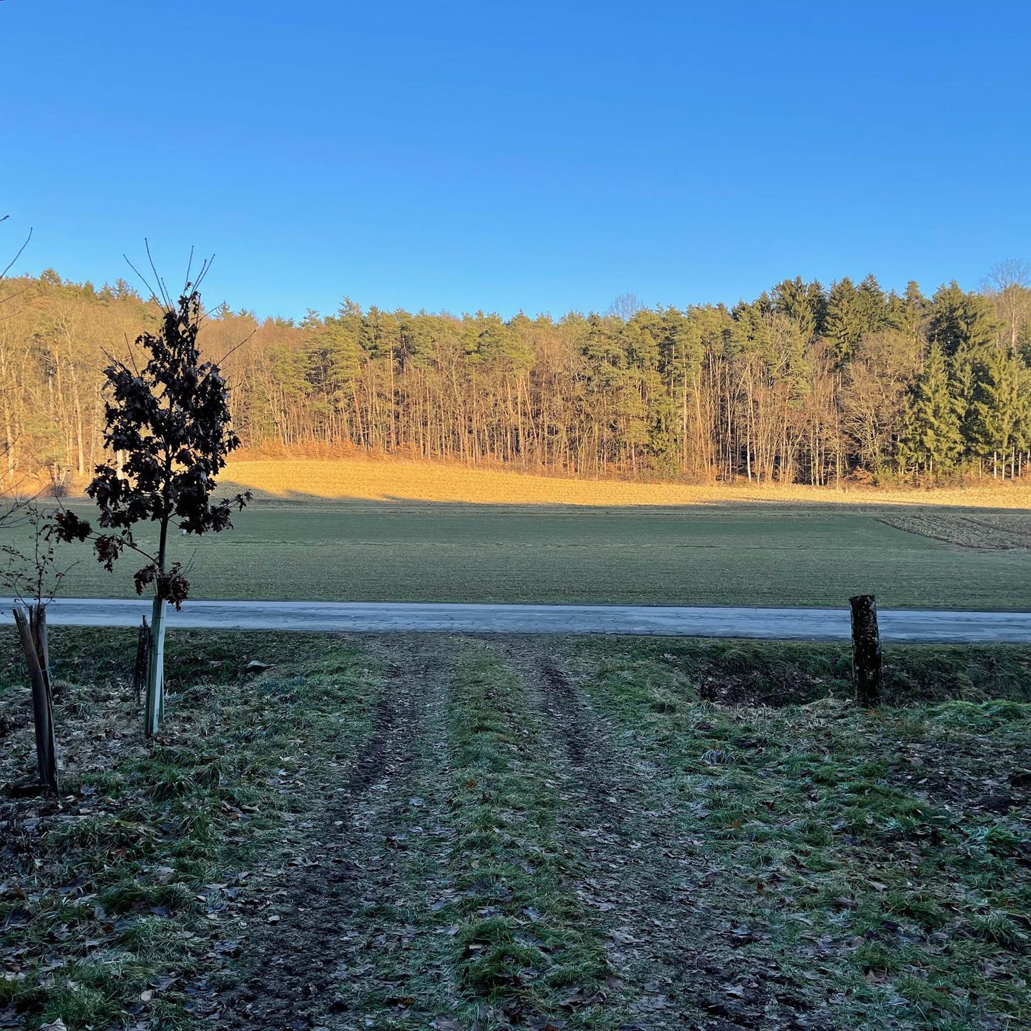
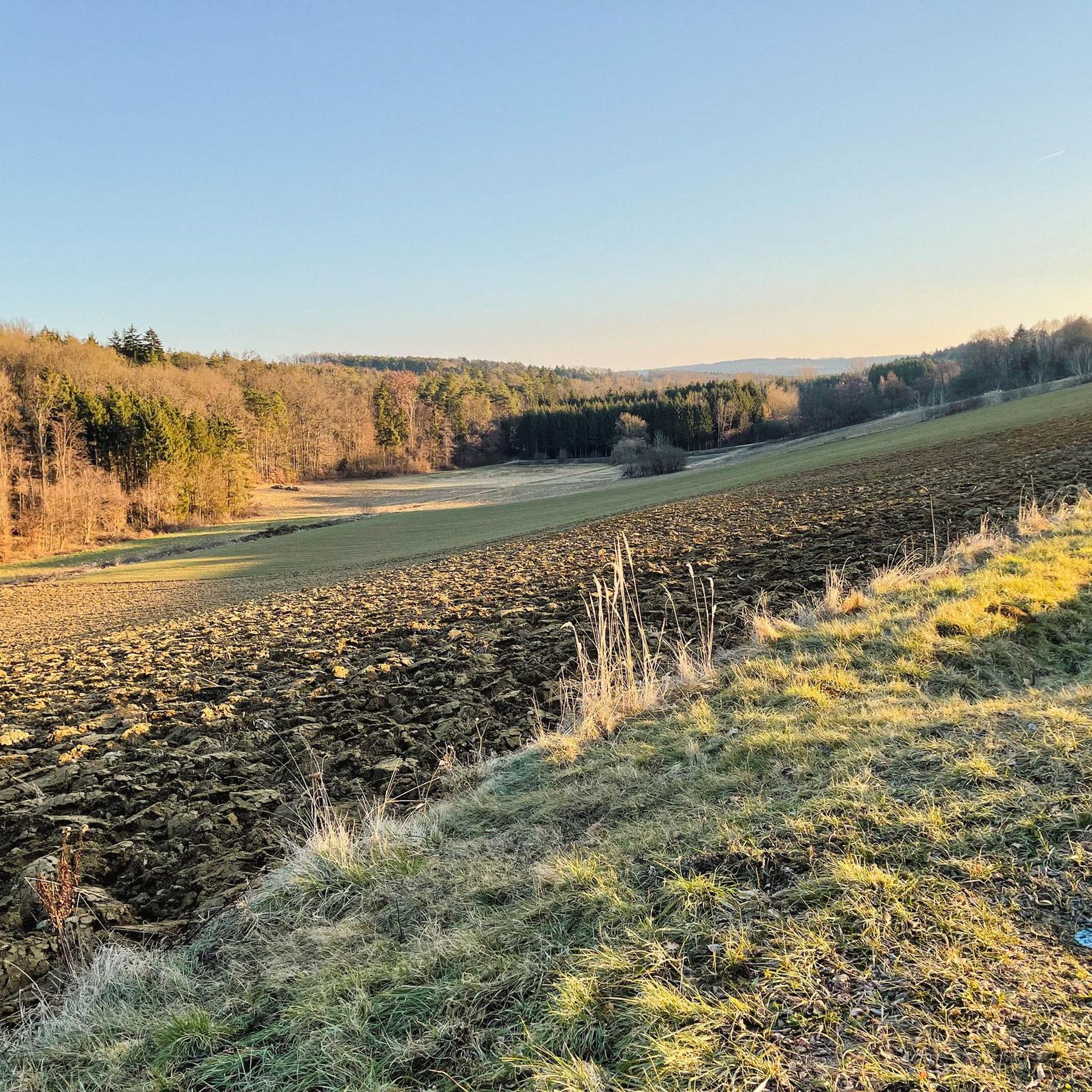
Tips from the Community

Always worth a trip or walk. A beautiful spot ... with a circular path for walking or cycling.
0
0

The Südweg is not yet marked on the maps.
0
0
The beautiful river terraces are certainly a highlight.
0
0
The reservoir is also often referred to as a fish pond.
0
0
The reservoir is often referred to as a fish pond.
0
0

Here you will find a Jesus cross decorated with flowers.
0
0
Always worth a visit. Our "favorite local recreation area" :)
0
0
Frequently Asked Questions
How many hiking trails are available in Zickenwald?
Zickenwald offers a wide selection of hiking opportunities, with over 260 routes available. These include 176 easy trails, 90 moderate routes, and 2 more challenging options, catering to various fitness levels and preferences.
What kind of terrain can I expect when hiking in Zickenwald?
Hikers in Zickenwald can expect a diverse landscape characterized by extensive forested areas, gentle hills, and varied terrain. Many paths wind through woodlands and open spaces, often following natural water features like the Strem River. The region features gentle ascents and descents, making it accessible for different fitness levels.
Are there any family-friendly hiking options in Zickenwald?
Yes, Zickenwald is well-suited for family outings, particularly with its abundance of easy trails. Routes like the Stausee Rauchwart – Bridge Over the Strem River loop from Rauchwart, which is 4.3 km long and takes about 1 hour 5 minutes, are ideal for families looking for a pleasant walk with minimal elevation gain.
Can I bring my dog on the hiking trails in Zickenwald?
While specific regulations for dogs vary, generally, dogs are welcome on most hiking trails in Zickenwald. It's always recommended to keep your dog on a leash, especially in areas with wildlife or near other hikers, and to carry waste bags. The natural setting with woodlands and open paths provides a great environment for walks with your canine companion.
Are there any circular hiking routes in Zickenwald?
Yes, many of the popular trails in Zickenwald are designed as circular routes, offering convenient starting and ending points. Examples include the Bridge Over the Strem River – Stausee Rauchwart loop from Rauchwart and the Stausee Rauchwart – Bridge Over the Strem River loop from Heugraben, both of which are easy loops around 4.4 km long.
What natural features or landmarks can I see while hiking?
While hiking in Zickenwald, you'll encounter picturesque natural features such as the Strem River and the Stausee Rauchwart. Many trails offer views of these water bodies, winding through the surrounding forested areas and open landscapes. The region's charm lies in its tranquil natural beauty rather than specific historical landmarks.
How long do the hiking trails in Zickenwald typically take to complete?
The duration of hikes in Zickenwald varies depending on the trail's length and difficulty. Many of the easy loops, such as those around Stausee Rauchwart, are approximately 4.3 to 4.4 km long and can be completed in about 1 hour to 1 hour 10 minutes. Longer routes, like the View of Rehgraben Valley loop from Gerersdorf-Sulz, cover 6.6 km and typically take around 1 hour 50 minutes.
What do other hikers say about their experience in Zickenwald?
The hiking routes in Zickenwald are highly regarded by the komoot community, with an impressive average rating of 4.5 stars from over 240 reviews. Hikers often praise the quiet woodlands, the well-maintained paths, and the serene beauty of the Strem River and Stausee Rauchwart, making it a popular choice for nature lovers.
Is there public transport access to the Zickenwald hiking areas?
Information on specific public transport links directly to trailheads in Zickenwald is limited. It is advisable to check local bus schedules or regional transport options for connections to towns like Rauchwart, Heugraben, or Gerersdorf-Sulz, which serve as common starting points for many trails.
Where can I park when visiting Zickenwald for a hike?
For hikers arriving by car, parking is generally available in or near the villages that serve as trailheads. For example, if you plan to hike the loops around Stausee Rauchwart, you would typically find parking options in Rauchwart. Similarly, for trails starting near Heugraben or Gerersdorf-Sulz, local parking facilities should be available.
What is the best time of year to go hiking in Zickenwald?
Zickenwald offers enjoyable hiking experiences throughout much of the year. Spring and autumn provide pleasant temperatures and beautiful scenery with blooming flora or vibrant fall colors. Summer is also suitable, though it can be warmer. Winter hiking is possible, especially on the easier, less elevated trails, but always check local conditions for snow or ice.
Are there any easy hiking trails suitable for beginners in Zickenwald?
Absolutely. Zickenwald is particularly well-suited for beginners and casual walkers, with 176 easy routes available. Trails like the Heugraben Church – Zickentaler Brewery Heugraben loop from Heugraben, which is 4.2 km long, offer gentle paths through pleasant landscapes without significant elevation changes.
Most popular routes in Zickenwald

Get inspired with the komoot mobile app


Explore more
Browse the best Hikes in other regions.
