The best road cycling routes in Szentpéterfai-Erdő
4.8
(16)
338
riders
14
rides
Road cycling routes in Szentpéterfai-Erdő are situated within Vas County, Hungary, an area known for its varied terrain. The landscape features rolling hills and extensive forested areas, providing scenic and engaging routes. Paved surfaces are common throughout the region, making it suitable for road cyclists. This environment offers a mix of ascents and flatter sections.
Best road cycling routes in Szentpéterfai-Erdő
- The most popular road cycling route is Winding Road from Kulm to Gaas loop from Moschendorf, a 26.4…
Last updated: July 10, 2026
5.0
(1)
11
riders
41.1km
01:40
220m
220m
Easy road ride. Great for any fitness level. Mostly well-paved surfaces and easy to ride.
9
riders
48.0km
02:05
330m
330m
Moderate road ride. Good fitness required. Mostly well-paved surfaces and easy to ride.

Sign up for free
9
riders
Moderate road ride. Good fitness required. Mostly well-paved surfaces and easy to ride.
8
riders
Easy road ride. Great for any fitness level. Mostly well-paved surfaces and easy to ride.
7
riders
Hard road ride. Very good fitness required. Mostly well-paved surfaces and easy to ride.
Get access to more routes and recommendations from other explorers.
Sign up for free
Already have an account?
Our route recommendations are based on thousands of hikes, rides, and runs completed by other people on komoot.
Start today with a free account
Your next adventure awaits.
Login or Signup
Popular around Szentpéterfai-Erdő
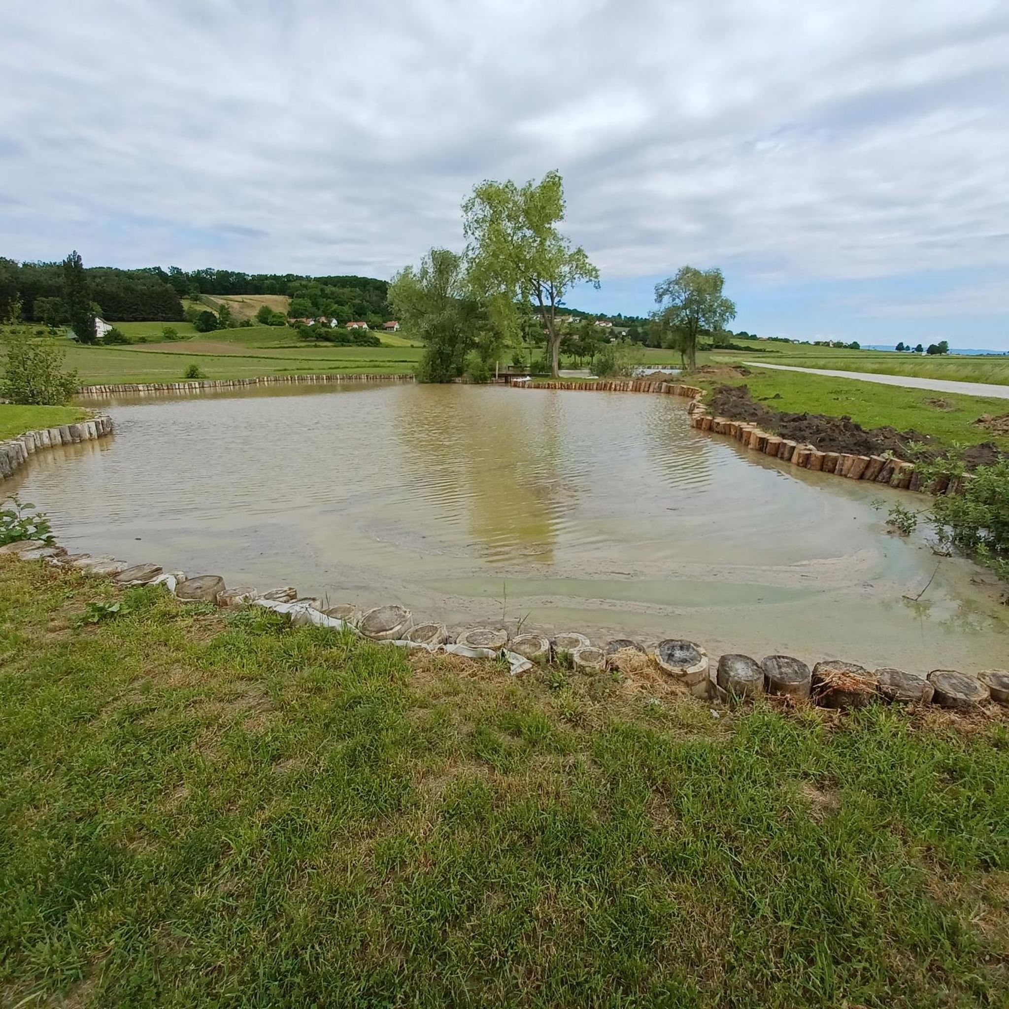
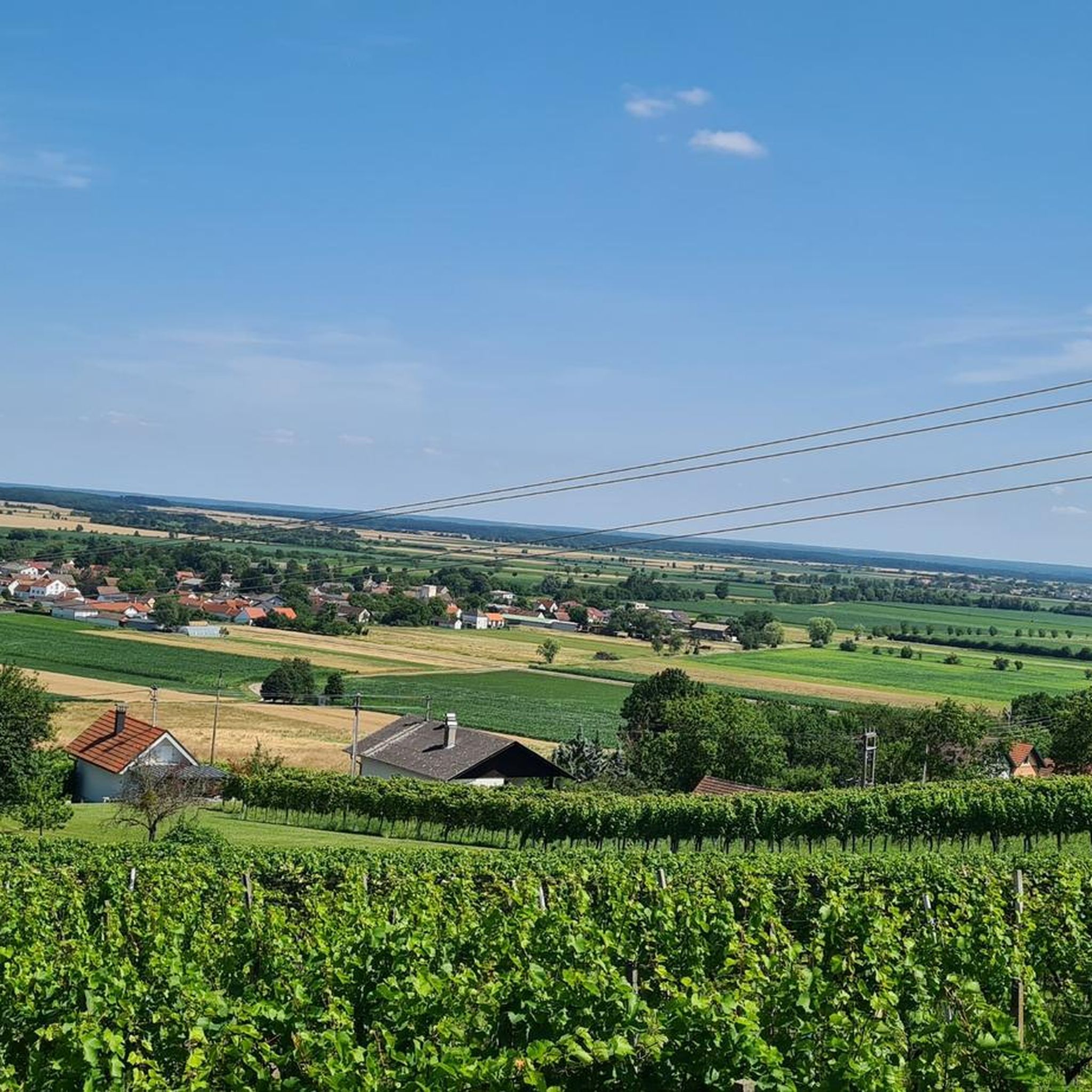
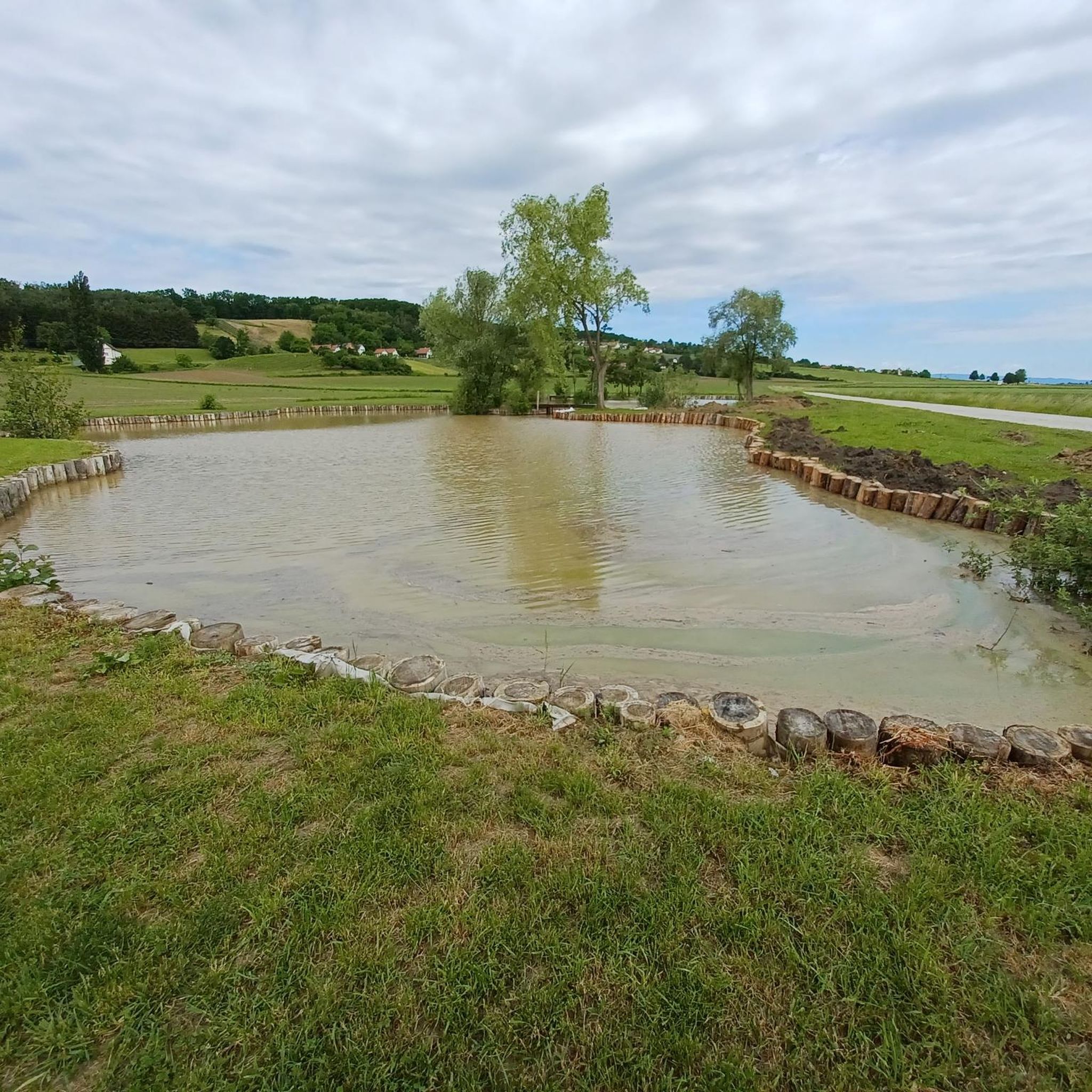
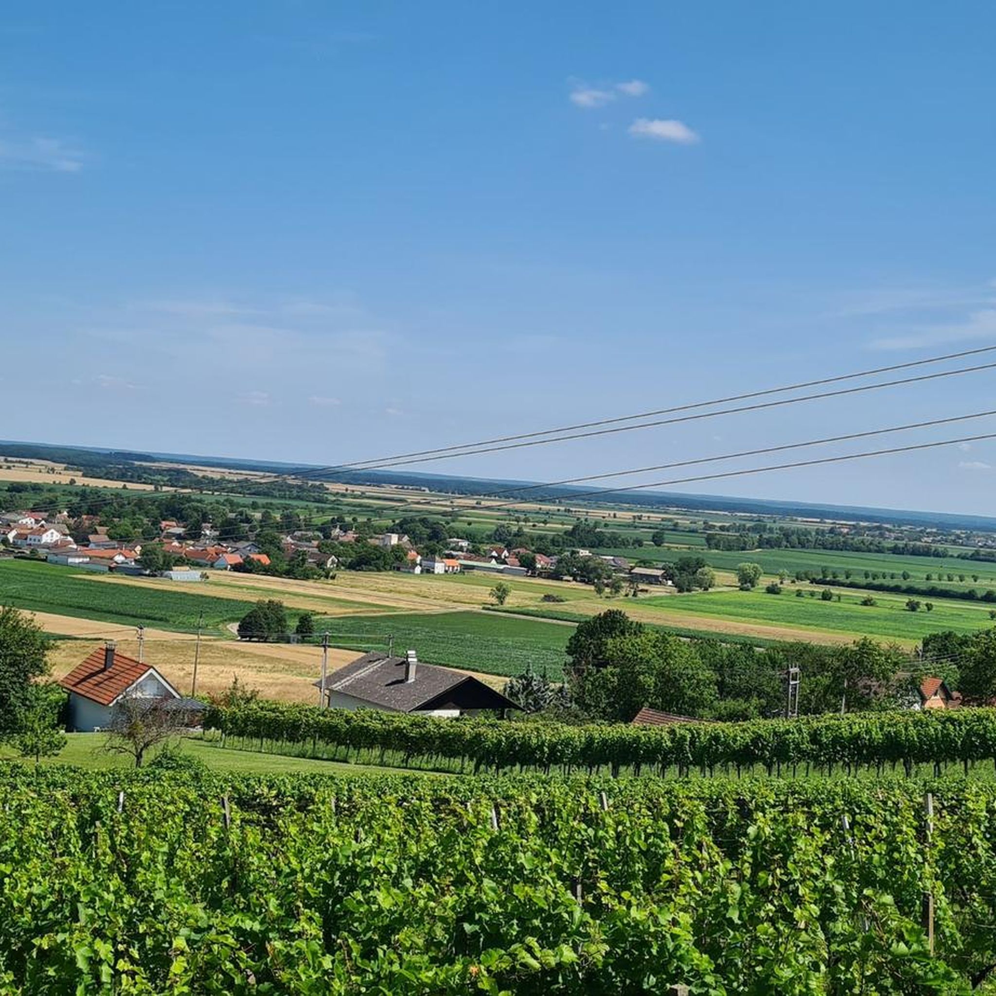
Tips from the Community

Very little traffic. The villages also seem quite sleepy ...
0
0

A lovely spot on the outskirts of Deutsch Schützen. And of course, an interesting church that seems somewhat unfinished. Next to it, you'll find a stone cross, and a few meters further down, a great rest area with a drinking fountain.
0
0
Great atmosphere, wonderful view, and good grape juice in friendly company. We like it here.
1
0

It's practically the "center of the world" in Southern Burgenland. It's been perched atop a volcanic cone for centuries and is impossible to miss. And the view from the top is truly magnificent, in all directions. Admission to the castle courtyard and the view is free. However, exhibitions on various topics are also regularly held within the walls themselves. An admission fee applies for these. All in all, a must-see for every visitor to Southern Burgenland.
0
0

Pretty cellar huts with the opportunity to stop for a break
1
0

Strenuous ascent, but at the lookout point and all the hardships are forgotten
0
0
Very good except for the regular stop signs!
1
0
Frequently Asked Questions
How many road cycling routes are available in Szentpéterfai-Erdő?
There are 15 road cycling routes available in Szentpéterfai-Erdő, offering a diverse range of options for cyclists. These routes are highly rated by the komoot community, with an average score of 4.9 stars.
What kind of terrain can I expect when road cycling in Szentpéterfai-Erdő?
Road cycling in Szentpéterfai-Erdő, located in Vas County, Hungary, features varied terrain. You can expect a mix of rolling hills and extensive forested areas, with many routes utilizing paved surfaces. This provides both scenic views and engaging ascents and descents.
Are there routes suitable for beginners or less experienced road cyclists?
Yes, Szentpéterfai-Erdő offers several routes suitable for beginners. For example, the Winding Road from Kulm to Gaas loop from Moschendorf is an easy 42.6 km route with over 250 meters of elevation gain, perfect for those looking for a more relaxed ride.
Are there any challenging road cycling routes in the region?
For experienced cyclists seeking a challenge, the region offers more demanding routes. The Geschriebenstein Pass summit – Rechnitz–Burg Rail Trail loop from Eberau is a difficult 73.8 km route with over 910 meters of elevation gain, providing a significant workout.
What are the best times of year for road cycling in Szentpéterfai-Erdő?
While specific seasonal data isn't available, the region's forested areas and varied terrain suggest that spring and autumn would offer pleasant temperatures and beautiful scenery for road cycling. Summer can also be enjoyable, though it might be warmer.
Are there any scenic viewpoints or landmarks along the road cycling routes?
The routes often wind through picturesque forested areas and rolling hills, providing natural scenic beauty. While specific named landmarks are not detailed for every route, the Heiligenbrunn Cellar Quarter – View of Güssing Castle loop from Szentpéterfa specifically mentions passing local landmarks and offering views of Güssing Castle.
Is Szentpéterfai-Erdő suitable for family-friendly road cycling?
The presence of easy routes with moderate elevation gains suggests that some areas could be suitable for families, especially those with older children comfortable with road cycling. Routes like the View of Güssing Castle – Heiligenbrunn Cellar Quarter loop from Pinkamindszent offer manageable distances and elevation.
Are there options for circular road cycling routes?
Yes, many of the routes in Szentpéterfai-Erdő are designed as loops, allowing you to start and end at the same point. Examples include the Winding Road from Kulm to Gaas loop from Moschendorf and the Heiligenbrunn Cellar Quarter – View of Güssing Castle loop from Szentpéterfa.
What do other road cyclists enjoy most about road cycling in Szentpéterfai-Erdő?
The area is highly rated by the komoot community, with an average score of 4.9 stars from over 10 reviews. Cyclists often praise the varied terrain, the peaceful environment of the forested areas, and the well-maintained paved surfaces that make for an enjoyable ride.
Are there any cafes or places to stop for refreshments along the routes?
While specific cafes are not listed for each route, the region around Szentpéterfa in Vas County is known for its villages and local amenities. It's advisable to check local maps or plan your route to include stops in nearby towns like Szentpéterfa or Moschendorf for refreshments.
What is the longest road cycling route available in Szentpéterfai-Erdő?
The longest road cycling route listed is the Geschriebenstein Pass summit – Rechnitz–Burg Rail Trail loop from Eberau, which spans 73.8 kilometers and includes significant elevation gain, making it a substantial ride.
How long does it typically take to complete a road cycling route in this area?
Completion times vary significantly depending on the route's length and difficulty, as well as your personal pace. For instance, the easy Winding Road from Kulm to Gaas loop from Moschendorf typically takes around 1 hour 44 minutes, while longer routes can take over 4 hours.
Most popular routes in Szentpéterfai-Erdő

Get inspired with the komoot mobile app


Explore more
Browse the best Road cycling routes in other regions.
