The best running trails in Kovács Erdő
20
runners
1
run
Jogging routes in Kovács Erdő offer a diverse network within a natural forest setting. The region features varied terrain, including both paved surfaces and unpaved segments. This environment provides a range of running opportunities, with routes presenting moderate to significant elevation changes. The landscape is characterized by dense woodlands, offering a natural backdrop for outdoor enthusiasts.
Best jogging routes in Kovács Erdő
- The most popular jogging route is Fekete-tó – Tátika loop from Zalaszántó, an 8.1 miles (13.1 km)…
Last updated: July 3, 2026
4
runners
13.1km
01:36
250m
250m
Moderate run. Good fitness required. Mostly paved surfaces. Suitable for all skill levels.
8
runners
48.8km
05:57
1,060m
1,060m
Hard run. Very good fitness required. Mostly accessible paths. Some sure footedness required.

Sign up for free
3
runners
5.62km
00:38
120m
120m
Moderate run. Good fitness required. Mostly paved surfaces. Suitable for all skill levels.
Our route recommendations are based on thousands of hikes, rides, and runs completed by other people on komoot.
Start today with a free account
Your next adventure awaits.
Login or Signup
Popular around Kovács Erdő
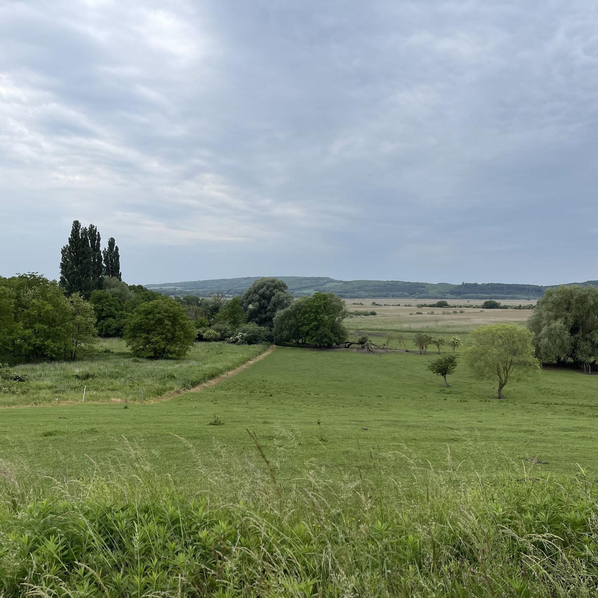
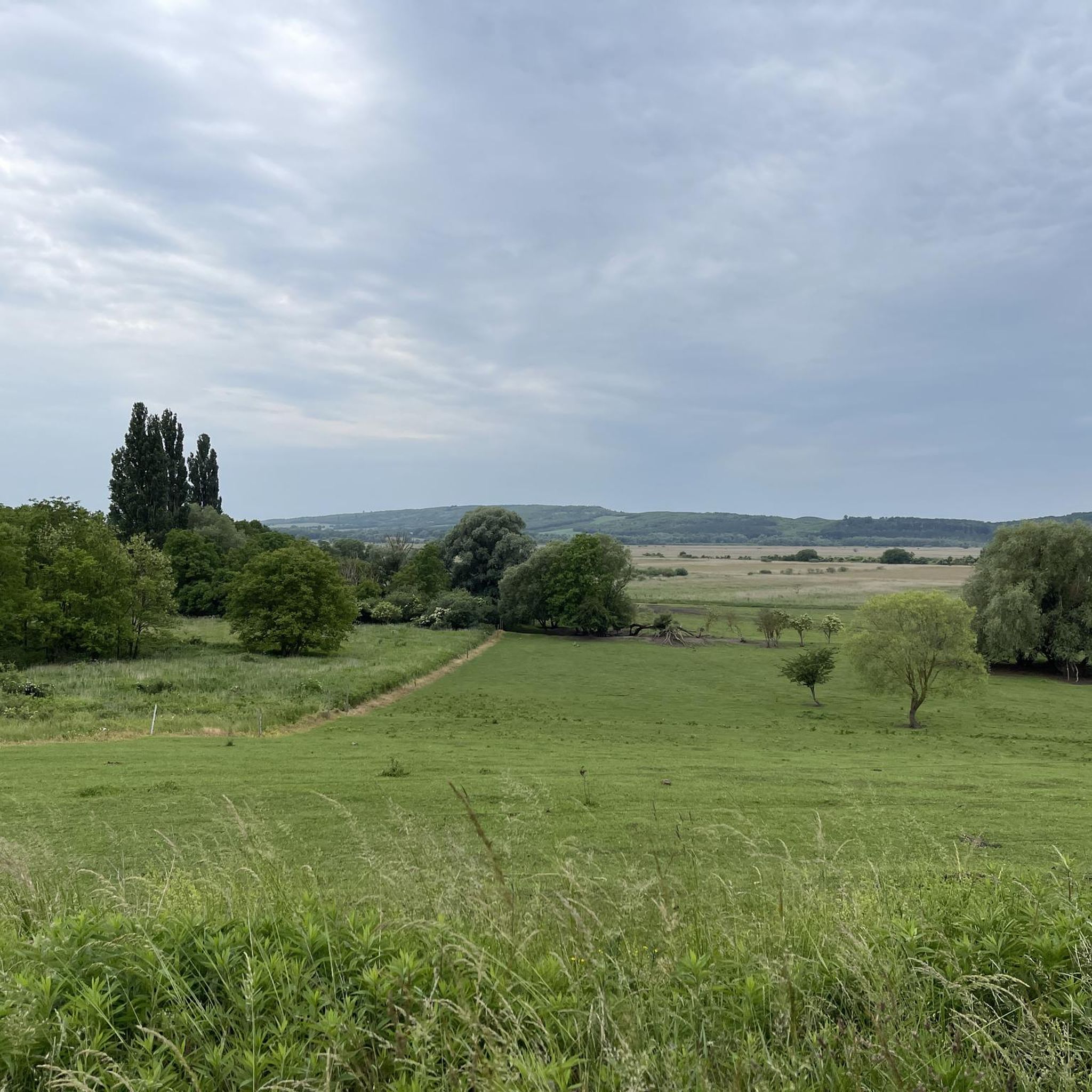
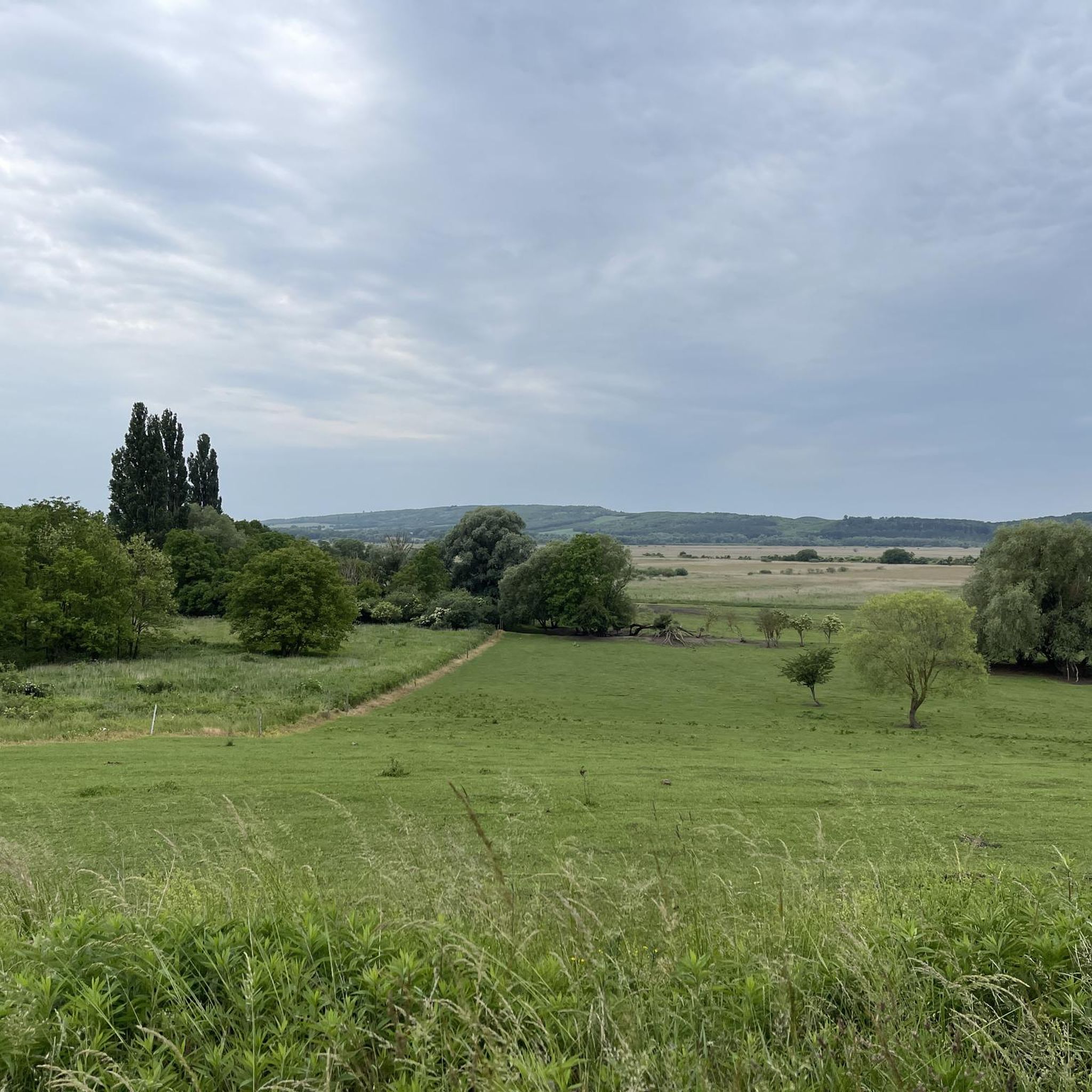
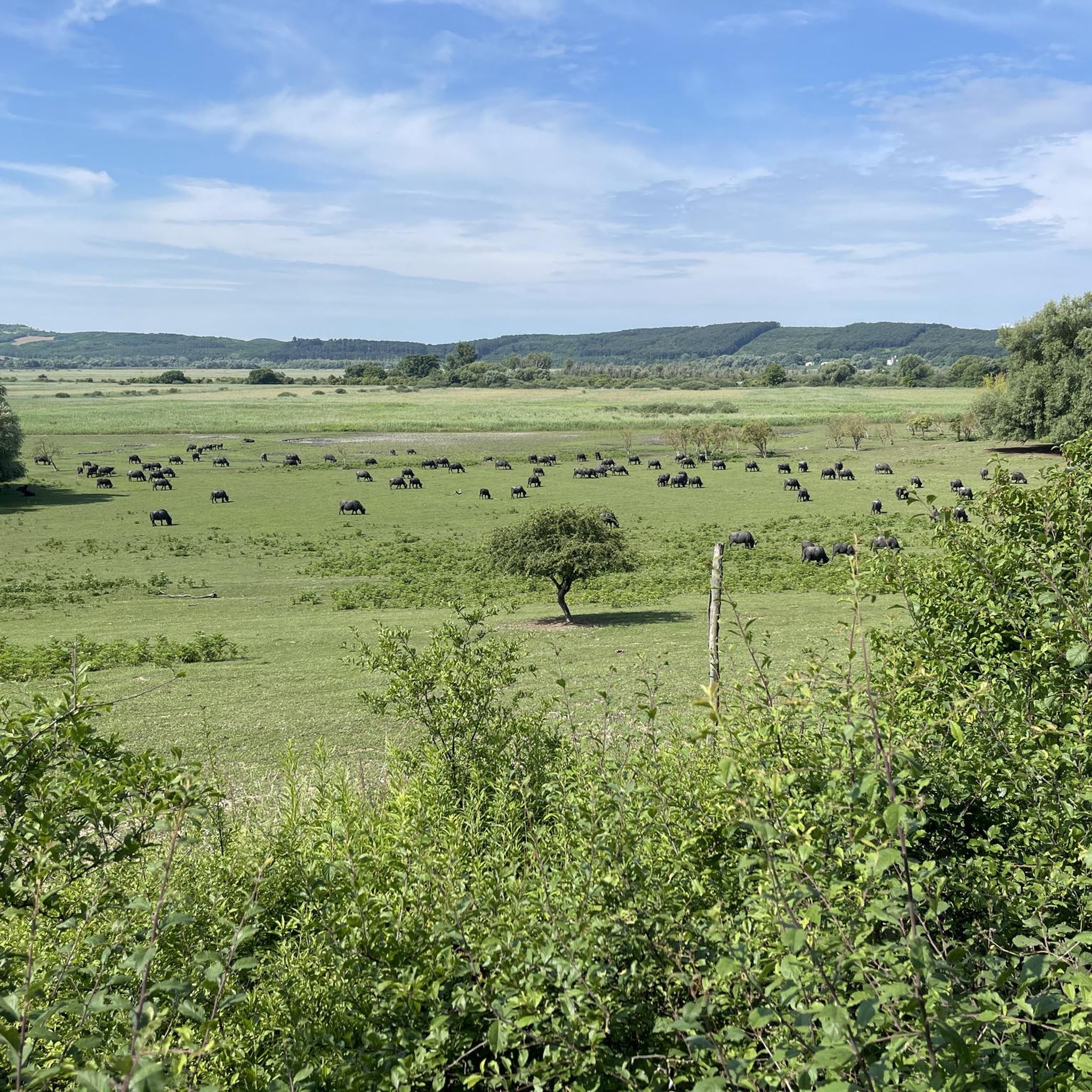
Tips from the Community

Fabulous place! The Kiltó was designed specifically NOT to look out onto Lake Balaton, but onto areas that are less known. By the way, it is in great condition.
0
0

Láz-tető Lookout Tower. On the upper level of the lookout tower, which was built in 2014 and is 16 meters high, we can identify what we see in the distance with the help of a photographic board. Source: https://www.termeszetjaro.hu/hu/poi/kilato/laz-tetoi-kilato/25878710/
0
0

Picnic area in Fokozottan Védett Terület. For those with foot problems, there is also the option of getting there by car.
0
0
The stairs are separated for up and down! Quite narrow!
0
0
The destination of our hike today—a great place to legally fly a drone. Please use the Hungarian drone flight app, though.
0
0
The goal of our hike of approximately 10 kilometers
0
0
a beautiful picnic area in a large clearing
0
0

Great view from the top. Just behind the tower, a single trail descends, initially graded S3-S2, very steep and sandy. It's not for beginners!
2
0
Frequently Asked Questions
How many running routes are available in Kovács Erdő?
Kovács Erdő offers a network of several running routes, with komoot featuring 4 distinct trails. These range in difficulty from moderate to difficult, providing options for various fitness levels.
Are there any easy or beginner-friendly jogging trails in Kovács Erdő?
While many routes in Kovács Erdő feature significant elevation changes, there are options suitable for different skill levels. For a moderate experience, consider the Cserszegtomaji-kútbarlang loop from Cserszegtomaj, which covers about 5.6 km with manageable climbs.
What kind of terrain can I expect on the running routes in Kovács Erdő?
The terrain in Kovács Erdő is quite varied, characterized by dense woodlands. You'll find both paved surfaces, suitable for all skill levels, and unpaved segments that offer a more challenging experience, often involving significant elevation changes. This diversity allows for a range of running opportunities.
Are there any circular running routes in Kovács Erdő?
Yes, many of the routes in Kovács Erdő are designed as loops. For instance, the popular Fekete-tó – Tátika loop from Zalaszántó is an 8.1-mile (13.1 km) trail that takes you through the forest and returns to your starting point.
What do other runners enjoy most about jogging in Kovács Erdő?
The komoot community frequently praises Kovács Erdő for its varied terrain and dense woodlands, which provide a refreshing natural setting for runs. Over 10 runners have used komoot to explore the area, appreciating the diverse options from moderate paths to more challenging routes with significant elevation.
Are the running trails in Kovács Erdő suitable for families?
Kovács Erdő offers a range of routes. While some trails are quite challenging with substantial elevation, there are also routes with mostly paved surfaces that might be more accessible for families looking for a less strenuous jog. It's best to check the difficulty and distance of specific routes before heading out.
Can I bring my dog on the jogging routes in Kovács Erdő?
Kovács Erdő is a natural forest setting, and generally, outdoor areas like this are welcoming to dogs, especially on trails. However, it's always recommended to keep your dog on a leash and ensure you follow local regulations regarding pets in public natural spaces.
Are there any long-distance running options for experienced runners?
Absolutely. For experienced runners seeking a significant challenge, Kovács Erdő offers routes like the Berzsenyi Observation Tower – Former Quarry loop from Cserszegtomaj. This difficult path spans 30.2 miles (48.6 km) and includes substantial elevation gain, making it ideal for endurance training.
What are some notable landmarks or viewpoints along the running trails?
One prominent feature you might encounter on longer, more challenging routes is the Berzsenyi Observation Tower. The Berzsenyi Observation Tower – Former Quarry loop from Cserszegtomaj specifically passes by this observation tower, offering potential scenic views.
Is there parking available near the jogging routes in Kovács Erdő?
While specific parking locations are not detailed for each route, given the popularity of Kovács Erdő for outdoor activities, it is likely that designated parking areas are available near common trailheads, especially in towns like Zalaszántó or Cserszegtomaj, which serve as starting points for many routes.
What is the typical duration for a running route in Kovács Erdő?
The duration varies significantly based on the route's length and difficulty. For example, a moderate trail like the Fekete-tó – Tátika loop from Zalaszántó typically takes about 1 hour 36 minutes, while a more difficult 20.3-mile (32.7 km) path could take around 3 hours 57 minutes.
Are there any routes that pass by picnic areas or places to rest?
Yes, some routes are designed to include amenities. The Former Quarry – Nagymező Picnic Area loop from Cserszegtomaj, for instance, leads through varied forest terrain and passes by the Nagymező Picnic Area, offering a perfect spot for a break.

Get inspired with the komoot mobile app


Explore more
Browse the best Running Trails & Routes in other regions.
