The best running trails in Gerecse
4.9
(15)
975
runners
9
runs
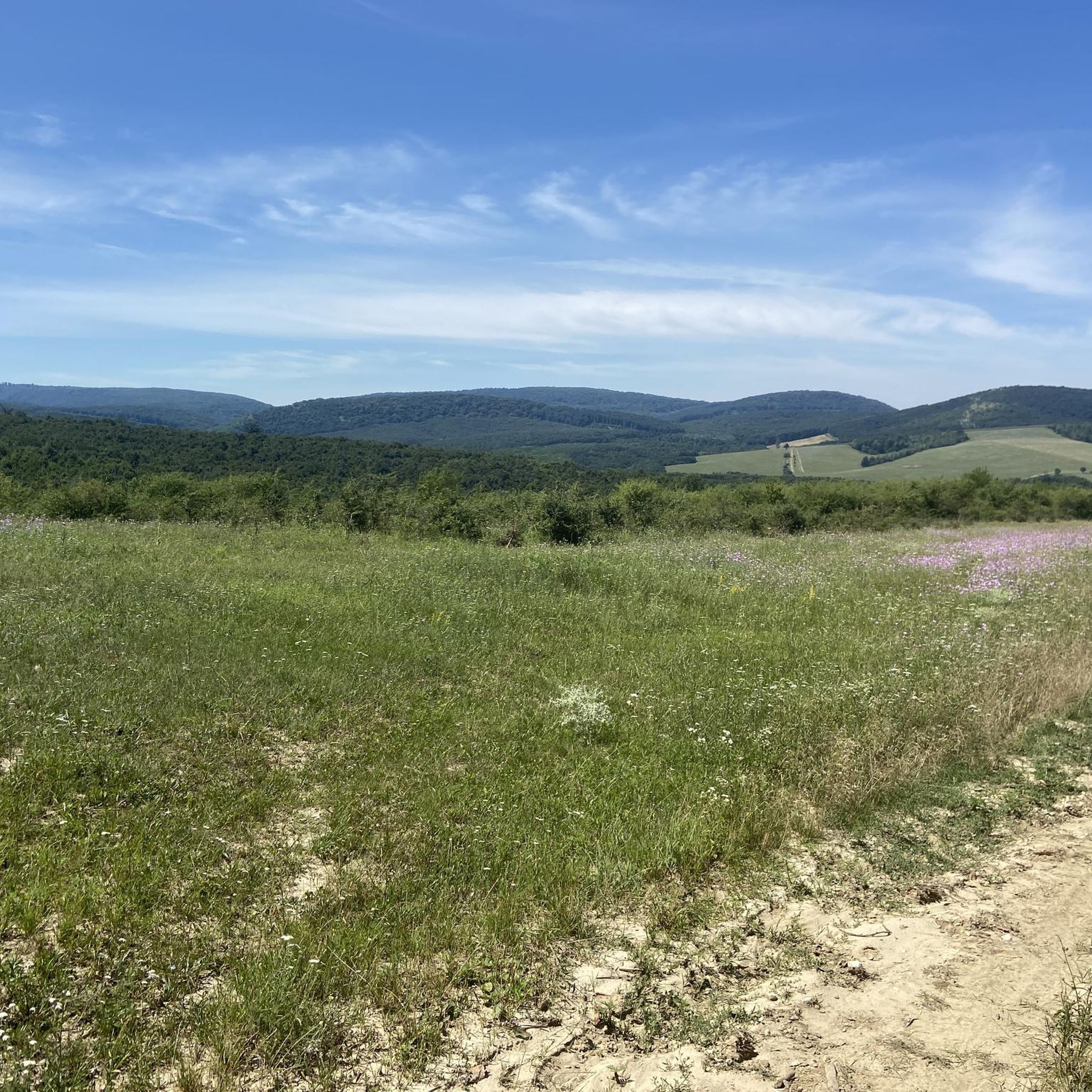
Jogging routes in Gerecse offer diverse landscapes within this mountain range in northwestern Hungary. The region is characterized by limestone cliffs, lush deciduous oak forests, and varied terrain, providing options for different running preferences. Elevations reach up to 634 meters, with numerous wooded slopes and open spaces. These natural features create a stimulating environment for runners, enhancing balance and engaging various muscles.
Best jogging routes in Gerecse
- The most popular jogging route is Vince Ranzinger Lookout Tower – Turul Statue…
Last updated: July 2, 2026
6
runners
15.2km
01:59
470m
470m
Hard run. Very good fitness required. Mostly paved surfaces. Suitable for all skill levels.
5.0
(1)
12
runners
9.27km
01:00
160m
160m
Moderate run. Good fitness required. Mostly paved surfaces. Suitable for all skill levels.

Sign up for free
4.9
(7)
470
runners
10.0km
01:03
20m
20m
Moderate run. Good fitness required. Mostly paved surfaces. Suitable for all skill levels.
7
runners
20.6km
02:09
90m
90m
Hard run. Very good fitness required. Mostly paved surfaces. Suitable for all skill levels.
4.9
(7)
442
runners
8.22km
00:51
30m
30m
Moderate run. Good fitness required. Mostly paved surfaces. Suitable for all skill levels.
Get access to more routes and recommendations from other explorers.
Sign up for free
Already have an account?
Our route recommendations are based on thousands of hikes, rides, and runs completed by other people on komoot.
Start today with a free account
Your next adventure awaits.
Login or Signup
Tips from the Community

The view is fantastic, it's a shame that Tatabánya is not exactly a wonderful city.... But behind it, the Vértes is great!
0
0
Our most powerful national symbol, the monumental Turul Monument - in Tatabánya, from where the view is also perfect.
0
0


It is the largest bird statue in Europe with a span of 15 m. https://de.m.wikipedia.org/wiki/Tatab%C3%A1nya
2
0

The bird Turul flew to Bánhida The Battle of Bánhida was the basis for erecting the monument in Pannonhalma, where, according to tradition, Árpád defeated him and pursued him to the Danube. After that he rode up the hill of Pannonhalma, and looking about there he was so taken with the rich scenery that he chose it for himself. The Battle of Bánhida is of great importance to the local people as it was the reason for erecting the bird monument in Bánhida, the precursor of Tatabánya. Thaly also chose the hill to have a good view of Tata-Bánhida-Bábolna.
0
0

A beautiful view to Tatabánya and the Gerecse.
0
0


The heavenly shit looks like a crappy yeah
2
1
Frequently Asked Questions
How many running routes are available in Gerecse?
There are nearly a dozen dedicated running routes in Gerecse, offering a variety of experiences for different skill levels. You'll find options ranging from moderate to difficult, with diverse landscapes to explore.
What kind of terrain can I expect on the jogging trails in Gerecse?
The jogging trails in Gerecse feature diverse terrain, including wooded slopes, open spaces, and significant elevation changes. The region is characterized by impressive limestone cliffs and extensive deciduous oak forests, providing a stimulating environment for runners.
Are there any easy running routes for beginners in Gerecse?
While most routes in Gerecse are rated moderate to difficult, some sections offer gentler inclines. For a relatively flatter experience, consider routes around the Old Lake (Öreg-tó) in Tata, such as the Old Lake (Öreg-tó), Tata loop from Tata, which has minimal elevation gain.
What are some notable landmarks or natural features I can see while running in Gerecse?
Gerecse offers several interesting sights. You can encounter the iconic Turul Statue, explore the archaeologically significant Szelim Cave, or visit the beautiful Király-kút Spring. Many routes also pass through ancient oak forests and offer panoramic views from elevated points.
Are there any circular running routes in Gerecse?
Yes, many of the running routes in Gerecse are designed as loops. For example, the Old Lake (Öreg-tó), Tata loop from Tóvároskert offers a scenic circular run around the lake. Other popular loops include those leading to the Turul Statue and Vince Ranzinger Lookout Tower.
What do other runners enjoy most about the trails in Gerecse?
The running trails in Gerecse are highly rated by the komoot community, with an average score of 4.9 stars from over 15 reviews. Runners often praise the diverse landscapes, the extensive network of well-marked trails, and the beautiful forest scenery that provides shade and a stimulating environment.
When is the best time of year to go jogging in Gerecse?
Spring and autumn are generally recommended for the best jogging conditions in Gerecse. During these seasons, the weather is pleasant, and the scenery is particularly vibrant, with lush greenery in spring and colorful foliage in autumn. The extensive forest cover also provides good shade during warmer months.
Are there any historical sites along the running paths in Gerecse?
Yes, you can incorporate historical exploration into your run. The Pusztamarót Historical Memorial Park is one such site, offering a glimpse into the region's past. Additionally, the Szelim Cave has archaeological significance and local legends associated with it.
What is the longest running route available in Gerecse?
One of the longer and more challenging options is the Vince Ranzinger Lookout Tower – Turul Statue loop from Szelim-lyuk, which spans approximately 15.3 km (9.5 miles) and features significant elevation gain, making it suitable for experienced runners.
Are there any routes that offer panoramic views in Gerecse?
Absolutely. From elevated points like Nagy-Gerecse, you can enjoy breathtaking panoramic views. The Ranzinger Vince Nature Trail leads to a 30-meter high observation tower on Csúcs-Hill, offering expansive vistas. The Gete hill also provides beautiful panoramas of the Gerecse landscape.
Can I find routes with varied elevation for a more challenging run?
Yes, Gerecse is known for its varied terrain, including significant inclines. Routes like the Vince Ranzinger Lookout Tower – Turul Statue loop from Szelim-lyuk feature substantial elevation gain, making them ideal for runners seeking a more demanding workout.
Are there any routes that pass by unique geological formations?
The Gerecse region is rich in geological features. Many trails will take you past limestone cliffs and karst formations. The Szelim Cave, for instance, is a prominent karst cave accessible via a geological nature path, adding an adventurous element to your run.
Most popular attractions in Gerecse

Get inspired with the komoot mobile app


Explore more
Browse the best Running Trails & Routes in other regions.
