The best walks and hikes in Faggeta Versante Nord Del Semprevisa
4.4
(580)
2,650
hikers
91
hikes
Hiking in Faggeta Versante Nord Del Semprevisa offers diverse trails through ancient beech forests and mountain terrain. The region features prominent peaks such as Monte Semprevisa and Monte Capreo, providing extensive panoramic views of the Roman side and the Pontine plain. Geological formations like dolinas and sinkholes add to the varied landscape. This area provides a network of trails suitable for different skill levels.
Best hiking trails in Faggeta Versante Nord Del Semprevisa
- The most popular hiking route is Monte Semprevisa Ring Trail from Pian della Faggeta, a 5.7 miles (9.1 km) trail that takes 3 hours 35 minutes to complete. This route traverses ancient beech forests and offers panoramic views from the mountain slopes.
- Another top favourite among local hikers is Loop of Mount Semprevisa from Carpineto Romano – Lepini Mountains, a moderate 7.1 miles (11.4 km) path. This trail includes ascents along mountain ridges with views towards the Roman side and the Pontine plain.
- Local hikers also love the Anello di Monte Capreo da Pian della Faggeta, a 8.8 miles (14.1 km) trail leading through forested areas and mountain peaks, often completed in about 5 hours 33 minutes.
- Hiking in Faggeta Versante Nord Del Semprevisa is defined by ancient beech forests, mountain peaks, and karst features. The network offers options for different ability levels, from easy walks to challenging ascents.
- The routes in Faggeta Versante Nord Del Semprevisa are highly rated by the komoot community with an average score of 4.6 stars from over 480 reviews. More than 2000 hikers have used komoot to explore Faggeta Versante Nord Del Semprevisa's varied terrain.
Last updated: July 9, 2026
4.5
(88)
246
hikers
9.12km
03:35
660m
660m
Embark on the Monte Semprevisa Ring Trail from Pian della Faggeta, a moderate hike covering 5.7 miles (9.1 km) with an elevation gain of 2172 feet (662 metres). You can expect to complete this loop in about 3 hours and 34 minutes. The route begins with a steep climb through a beautiful beech forest, known locally as a 'faggeta'. As you ascend, the terrain opens up to stony ridges and grassy clearings like Pian dell'Erdigheta. From these higher points, you will enjoy expansive views, with Monte Semprevisa (Daniele Nardi Peak) standing out as a prominent landmark.
This trail is generally accessible throughout the year, with the extensive forest sections providing welcome shade even during summer months. You will find parking readily available at Pian della Faggeta, which also serves as the starting point for your hike. A picnic area is located nearby, perfect for a pre- or post-hike meal. While the path is mostly well-marked, be aware that some sections might have less visible signage, so pay attention to your route.
The Monte Semprevisa Ring Trail offers a diverse landscape that showcases the natural beauty of the Monti Lepini. Beyond the ancient beech forests, you will encounter interesting karst features that add to the unique geology of the area. On clear days from the crest, you can see the Pontine plain, the Tyrrhenian Sea, and even the distant Pontine Islands, making this route a rewarding experience for those seeking panoramic vistas.
4.6
(25)
90
hikers
11.4km
04:03
660m
660m
Moderate hike. Good fitness required. Easily-accessible paths. Suitable for all skill levels.

Sign up for free
1
hikers
14.1km
05:33
1,020m
1,020m
Hike the difficult 8.8-mile From the Beech Plans to Monte Capreo trail for challenging climbs, dense beech forests, and panoramic views.
4.8
(11)
58
hikers
Easy hike. Great for any fitness level. Easily-accessible paths. Suitable for all skill levels.
4.4
(9)
40
hikers
Moderate hike. Good fitness required. Easily-accessible paths. Suitable for all skill levels.
Get access to more routes and recommendations from other explorers.
Sign up for free
Already have an account?
Our route recommendations are based on thousands of hikes, rides, and runs completed by other people on komoot.
Start today with a free account
Your next adventure awaits.
Login or Signup
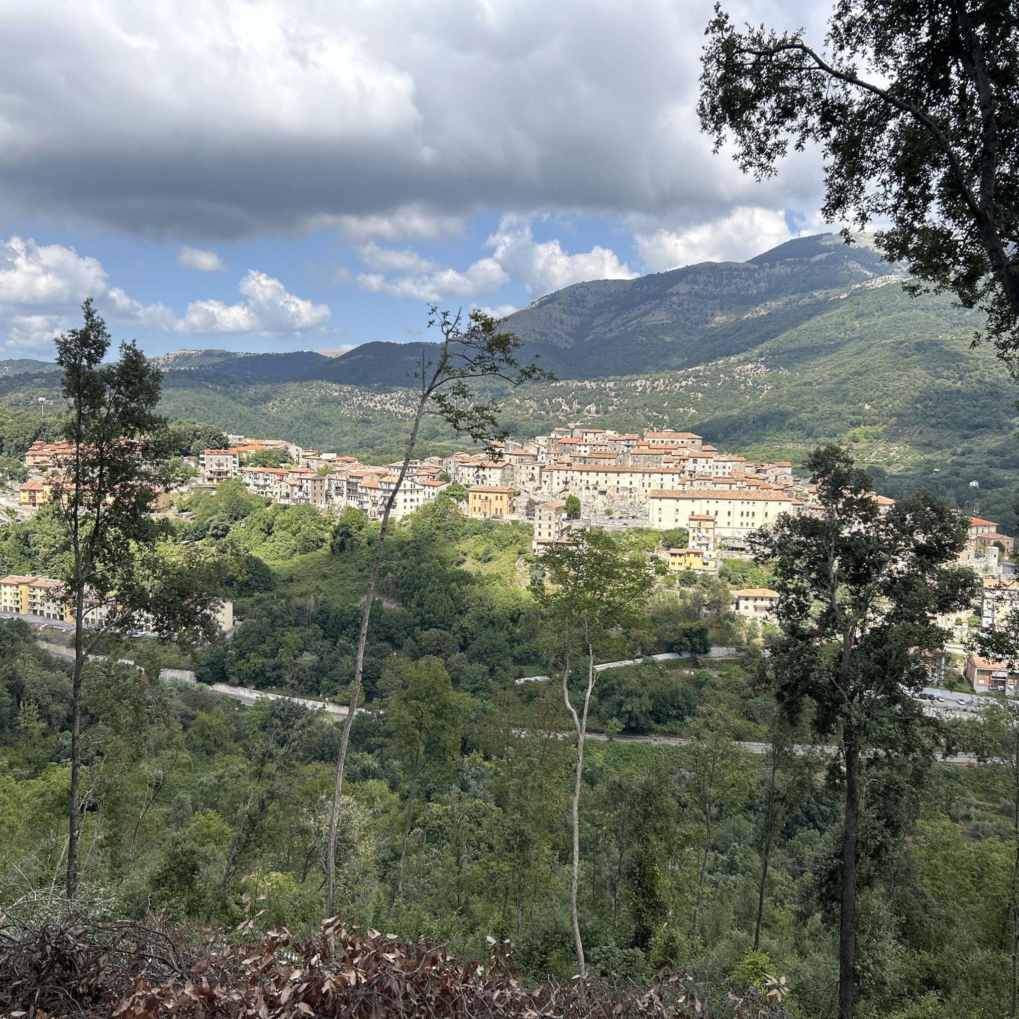
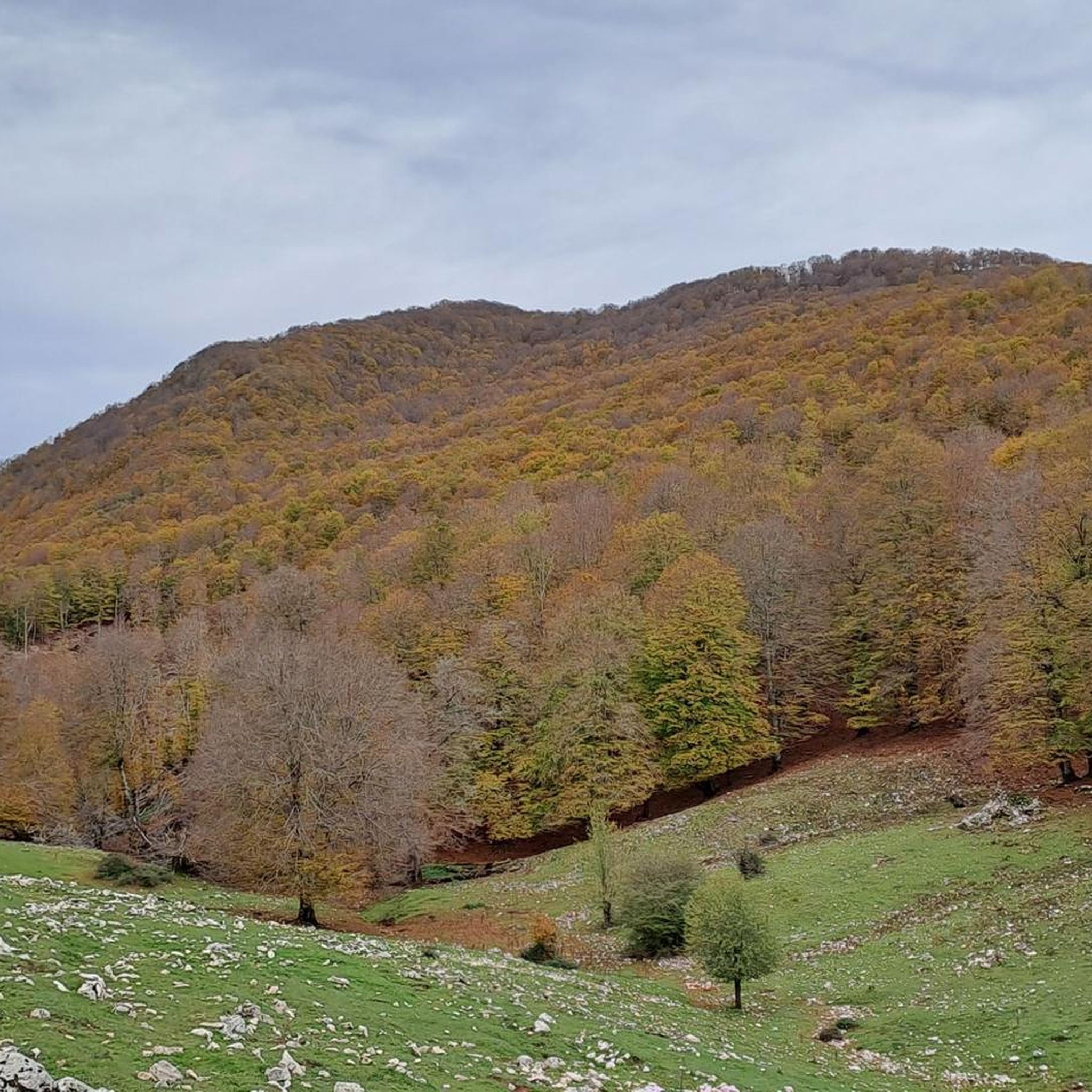
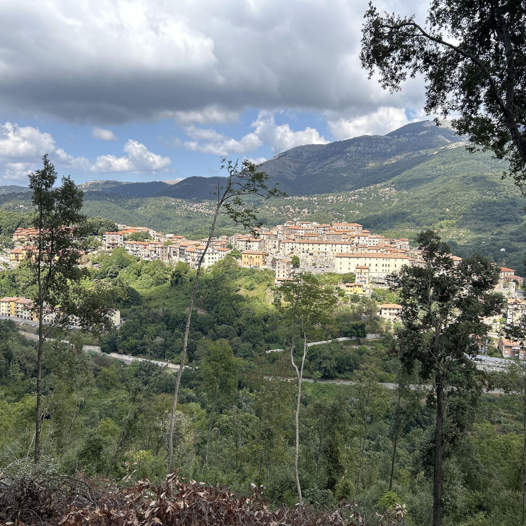
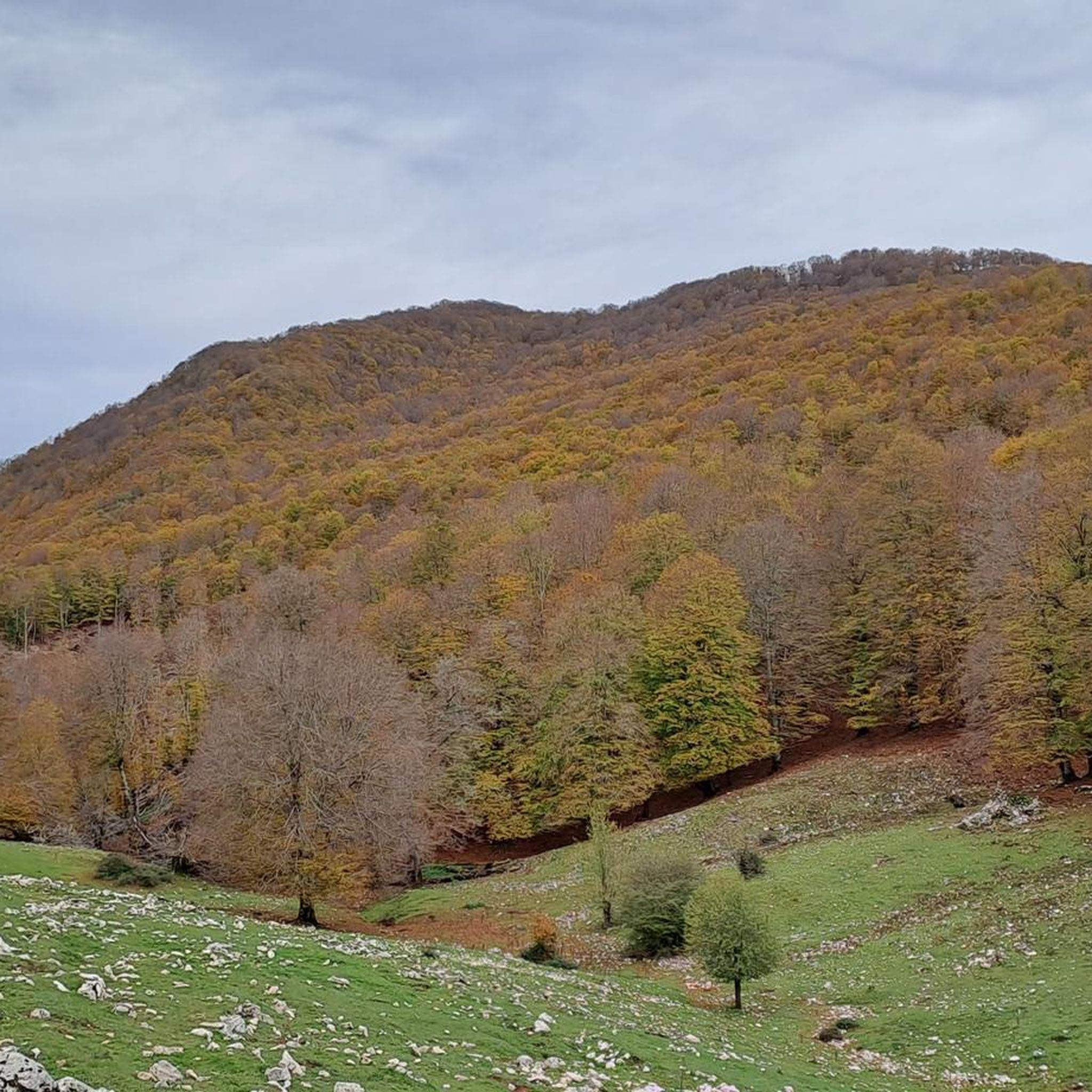
Tips from the Community

Beautiful made on Saturday 13th September by Bassiano 🤙
0
0

A legendary stone that hides a TREASURE underneath....
0
0

Highest peak of the Lepini.
0
0

It's a wonderful place, the trees are incredibly beautiful
1
0
Challenging but beautiful trail!
0
0

Mount Sempervisa is the highest peak of the Lepini mountains. Since 2019 it has been dedicated to the great local mountaineer Daniele Nardi, who trained here before making his expeditions to the Himalayas. This mountain has a unique view of the sea and the nearby Mount Circeo.
6
0
This picnic area can be easily reached from the car park along the Pian della Faggeta dirt road. It is equipped with tables and built-in barbecue. It is an ideal place for families with children, who can watch cows and horses graze freely.
4
0
On this grassy saddle, between Mount Capreo and Evervisa, you often come across animals in the wild. It's a great place to take a break while admiring the woodland.
4
0
Frequently Asked Questions
What kind of hiking trails can I find in Faggeta Versante Nord Del Semprevisa?
The region offers a diverse network of trails, ranging from easy walks to more challenging ascents. You'll primarily hike through ancient beech forests, along mountain ridges, and past unique karst features like dolinas and sinkholes. The trails often provide stunning panoramic views of the Roman side and the Pontine plain.
Are there easy trails suitable for beginners or families?
Yes, there are trails suitable for beginners and families. For instance, the area offers 1 easy route, such as the Fontana di Monte Faito – Pian della Faggeta Picnic Area loop from Monte Semprevisa, which is a shorter, less strenuous option perfect for a relaxed outing.
What are the most scenic viewpoints or natural landmarks to see?
Hikers can enjoy breathtaking panoramic views from various points along the trails, including extensive vistas of the Roman side and the Pontine plain. Notable natural landmarks include Monte Semprevisa (Daniele Nardi Peak), Monte Capreo Saddle, and interesting geological formations like the Limestone Ridge and La Schiazza di Paolone.
Are there any circular hiking routes in the area?
Yes, circular routes are a popular way to explore the region. A well-known option is the Monte Semprevisa Ring Trail from Pian della Faggeta, which takes you through ancient beech forests and offers panoramic views from the mountain slopes.
What is the best time of year to go hiking in Faggeta Versante Nord Del Semprevisa?
The ancient beech forests are particularly beautiful in spring when they burst into green, and in autumn with their vibrant fall colors. These seasons generally offer pleasant temperatures for hiking. Summer can also be enjoyable, especially within the shaded forests, but always check local weather conditions.
What do other hikers say about the trails in Faggeta Versante Nord Del Semprevisa?
The trails are highly regarded by the komoot community, with an average rating of 4.6 stars from over 480 reviews. Hikers frequently praise the stunning panoramic views, the immersive experience of the ancient beech forests, and the varied terrain that keeps routes interesting.
Are dogs allowed on the hiking trails?
While specific regulations can vary, generally, dogs are welcome on trails in natural areas like Faggeta Versante Nord Del Semprevisa, provided they are kept under control, preferably on a leash, and owners clean up after them. It's always advisable to check for any specific local signage or restrictions before heading out.
How many hiking routes are available in Faggeta Versante Nord Del Semprevisa?
There are over 80 hiking routes available in Faggeta Versante Nord Del Semprevisa, catering to various skill levels. This includes 1 easy, 57 moderate, and 22 difficult trails, ensuring there's an option for almost every hiker.
Are there any challenging hikes for experienced trekkers?
Yes, for experienced trekkers seeking a challenge, there are 22 difficult routes. An example is the Anello di Monte Capreo da Pian della Faggeta, which is an 8.8-mile trail leading through forested areas and mountain peaks, often taking over 5 hours to complete due to its significant elevation gain.
Where can I park when visiting the hiking trails?
Common starting points for hikes in the region include Pian della Faggeta and areas near Carpineto Romano. These locations typically offer parking facilities. It's recommended to check specific trailheads for designated parking areas before your visit.
Can I reach the hiking areas by public transport?
Public transport options to reach the trailheads, such as Pian della Faggeta or Fosso Sant'Angelo, might be limited. It's advisable to research bus schedules from nearby towns like Bassiano or Carpineto Romano, as services may not be frequent or directly connect to all starting points.
Are there any places to eat or get refreshments near the trails?
While the immediate trailheads might not have extensive amenities, you can find cafes, restaurants, and pubs in nearby towns such as Carpineto Romano and Bassiano. It's a good idea to pack sufficient water and snacks for your hike, especially for longer routes.
Most popular routes in Faggeta Versante Nord Del Semprevisa
Most popular attractions in Faggeta Versante Nord Del Semprevisa

Get inspired with the komoot mobile app


Explore more
Browse the best Hikes in other regions.
