The best walks and hikes in Dubravos Miškas
4.6
(224)
4,886
hikers
120
hikes
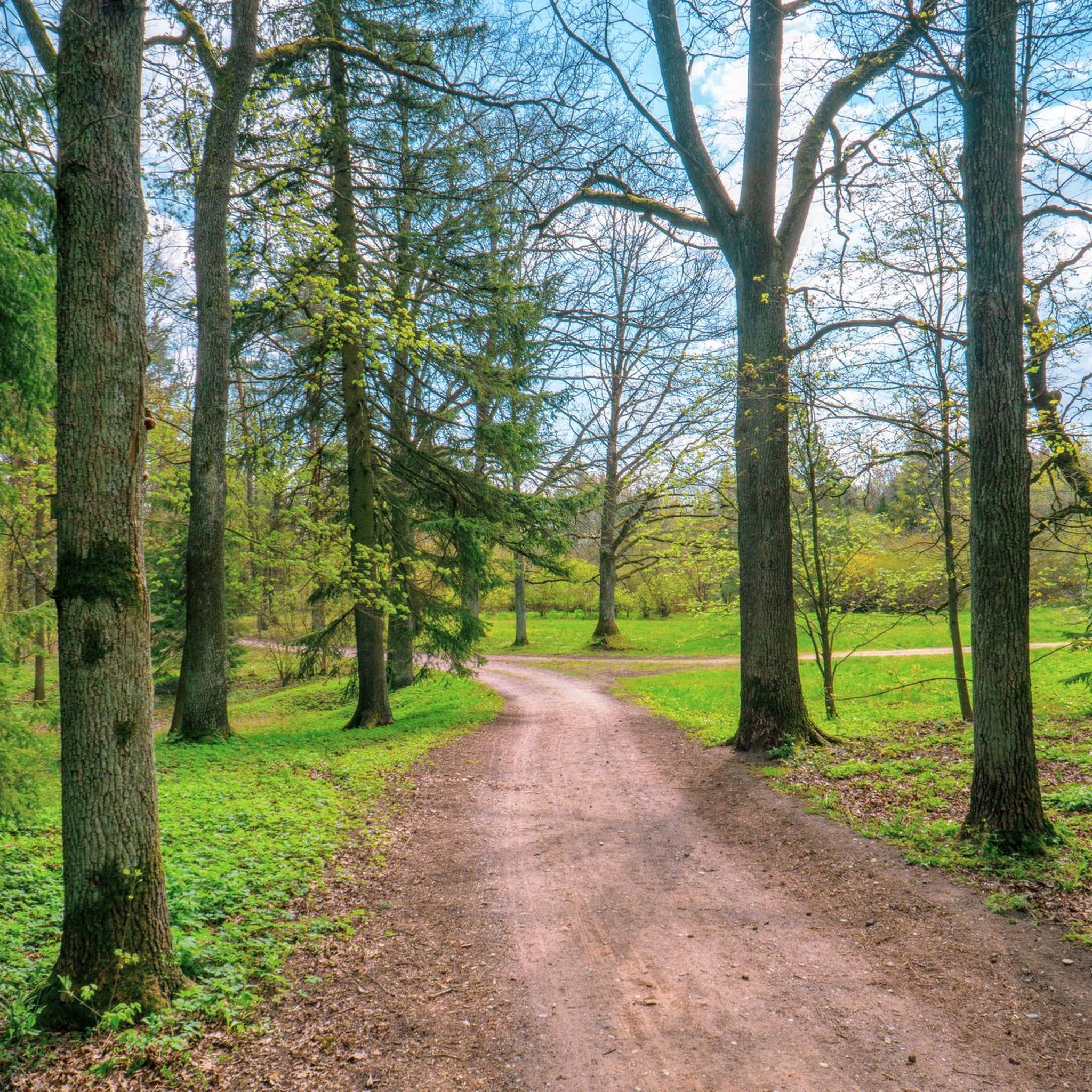
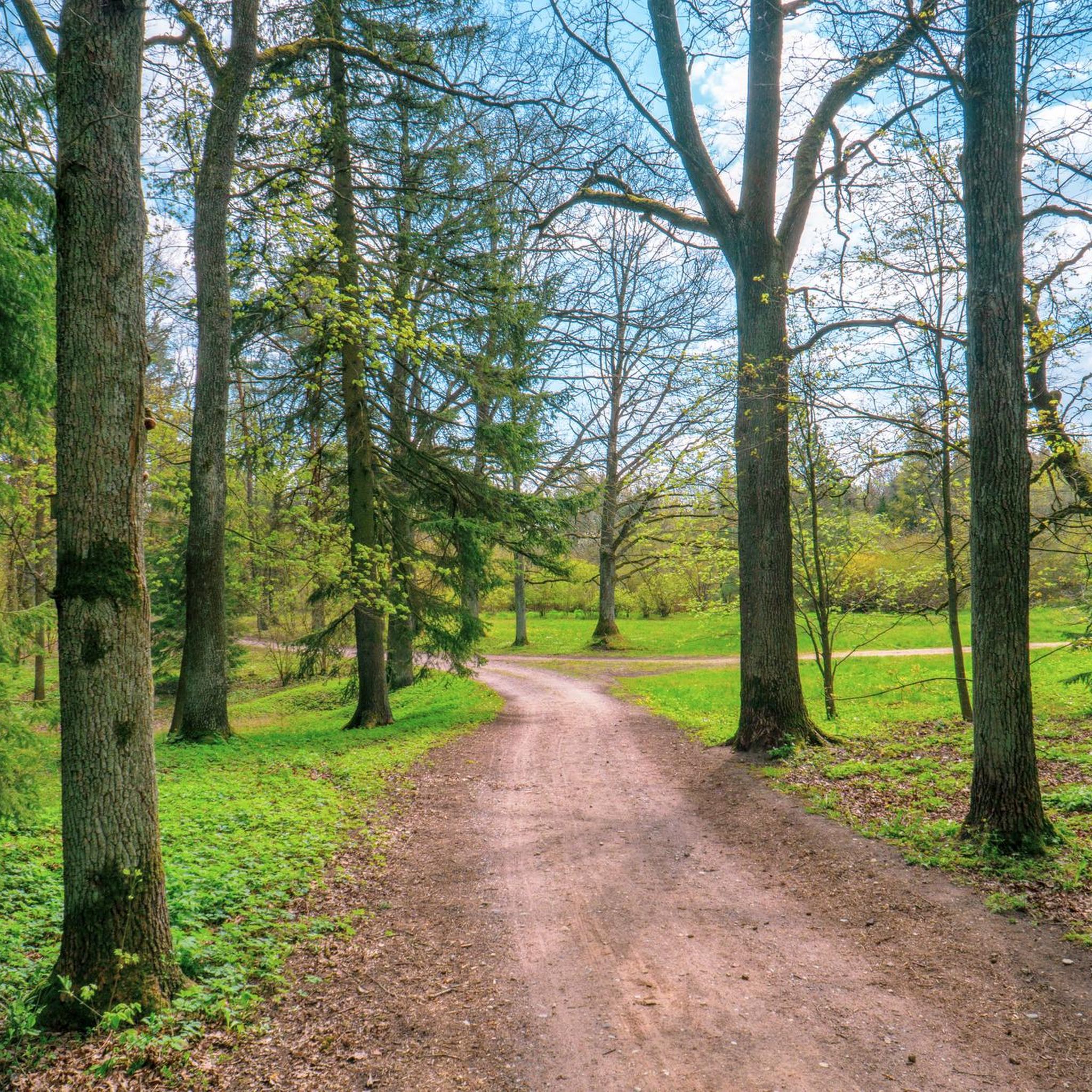
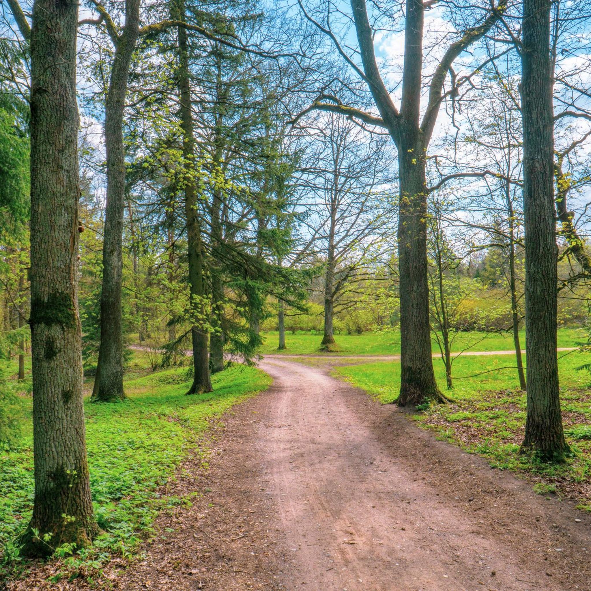
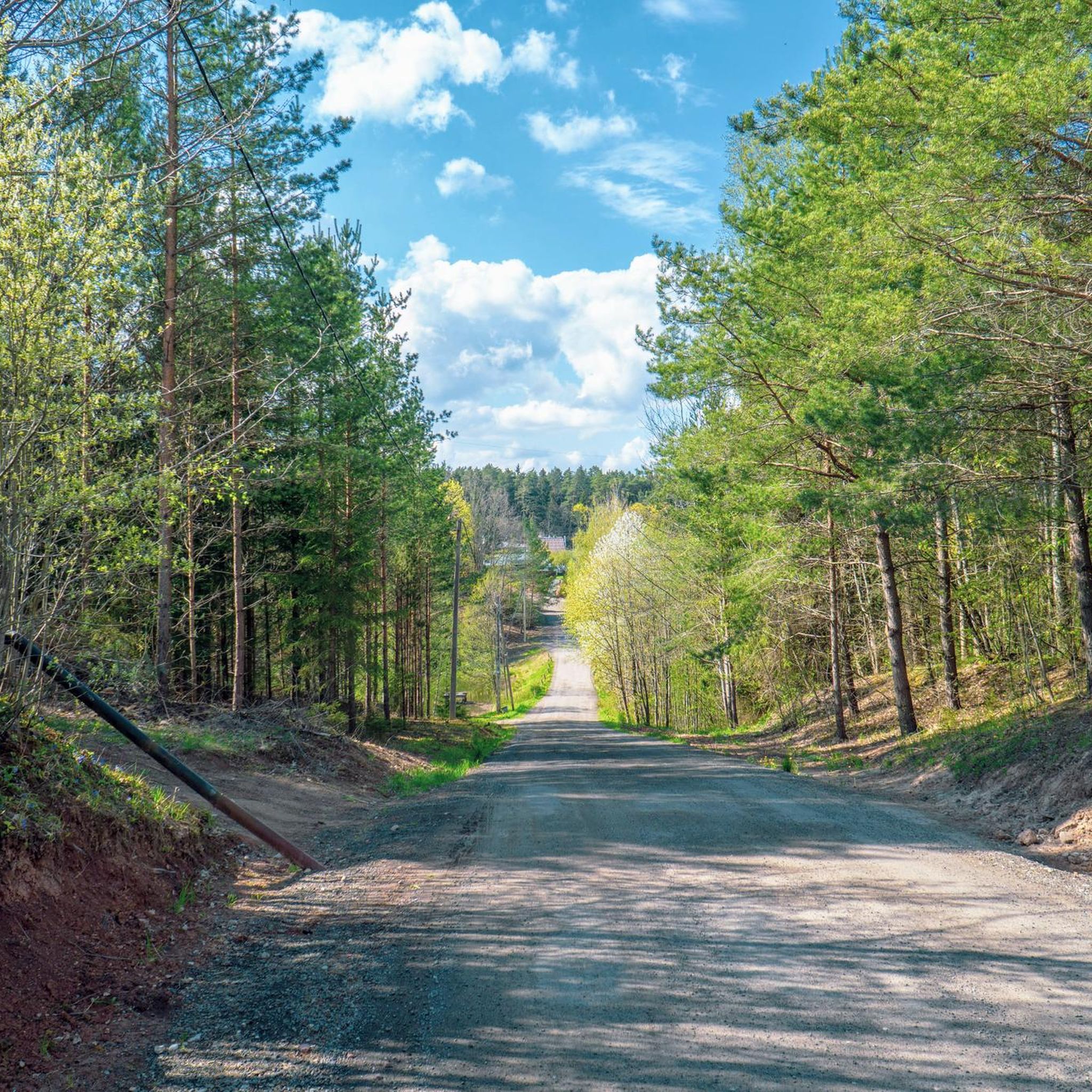
Hiking in Dubravos Miškas offers diverse landscapes within Kaunas County, Lithuania. The region is characterized by dense forest, notably the Dubrava subsoil reserve, which features impressive pine trees up to 38 meters tall. A significant natural feature is an upland swamp, occupying approximately a quarter of the reserve's nature trail, providing a unique environment for exploration. The terrain includes varied paths suitable for different fitness levels.
Best hiking trails in Dubravos Miškas
- The most popular hiking route is Dubrava Reserve…
Last updated: July 10, 2026
4.4
(10)
38
hikers
14.2km
03:39
60m
60m
Moderate hike. Good fitness required. Easily-accessible paths. Suitable for all skill levels.
4.0
(2)
44
hikers
2.60km
00:40
10m
10m
Easy hike. Great for any fitness level. Easily-accessible paths. Suitable for all skill levels.

Sign up for free
5
hikers
24.0km
06:13
150m
150m
Hard hike. Very good fitness required. Mostly accessible paths. Sure-footedness required.
4.9
(18)
110
hikers
15.5km
04:03
110m
110m
Moderate hike. Good fitness required. Mostly accessible paths. Sure-footedness required.
4.8
(10)
82
hikers
14.1km
03:44
130m
130m
Moderate hike. Good fitness required. Mostly accessible paths. Sure-footedness required.
Get access to more routes and recommendations from other explorers.
Sign up for free
Already have an account?
Our route recommendations are based on thousands of hikes, rides, and runs completed by other people on komoot.
Start today with a free account
Your next adventure awaits.
Login or Signup
Tips from the Community


Frequently Asked Questions
How many hiking trails are available in Dubravos Miškas?
Dubravos Miškas offers a wide variety of hiking options, with over 120 routes recorded on komoot. These trails cater to all experience levels, from easy strolls to more challenging expeditions.
Are there easy hiking trails suitable for beginners or families in Dubravos Miškas?
Yes, Dubravos Miškas has many accessible options. There are over 70 easy trails, including the Dubrava Educational Trail loop from Samylų seniūnija, which is a short 2.6 km path suitable for all skill levels and offers easily accessible paths through the forest.
What kind of terrain and natural features can I expect to see while hiking in Dubravos Miškas?
The region is characterized by diverse landscapes, including dense pine forests with impressive trees up to 38 meters tall. A significant natural feature is the upland swamp within the Dubrava subsoil reserve, which covers about a quarter of the nature trail, offering a unique environment to explore.
Are there any circular hiking routes in Dubravos Miškas?
Many trails in Dubravos Miškas are designed as loops, allowing you to start and end at the same point. Examples include the moderate Dubrava Reserve Trail – Dubrava Educational Trail loop from Vaišvydava and the more challenging Vaišvydava Bunker – Dubrava Educational Trail loop from Girionys.
What are some interesting landmarks or points of interest along the trails?
Hikers can discover historical points of interest such as the Vaišvydava Bunker and the Pakalniškiai Hillfort. These sites are often incorporated into longer routes, like the Pakalniškiai Hillfort – Vaišvydava Bunker loop from Girionys.
What do other hikers say about the trails in Dubravos Miškas?
The trails in Dubravos Miškas are highly regarded by the komoot community, holding an average rating of 4.6 stars from nearly 200 reviews. Hikers often praise the varied terrain, the towering pine forests, and the unique natural features like the upland swamp.
Are there any longer or more challenging hikes for experienced hikers?
Yes, for those seeking a greater challenge, Dubravos Miškas offers several difficult routes. The Vaišvydava Bunker – Dubrava Educational Trail loop from Girionys is a strenuous 25.0 km trail that takes about 6 hours 29 minutes to complete, leading through varied forest terrain.
Is Dubravos Miškas suitable for hiking with dogs?
While specific regulations for dogs are not detailed, generally, forests in Lithuania are welcoming to dogs on leash. It's always recommended to keep your dog under control and clean up after them to preserve the natural environment for all visitors.
What is the best time of year to go hiking in Dubravos Miškas?
Dubravos Miškas is beautiful year-round. Spring brings fresh greenery, summer offers lush canopies, and autumn transforms the forest with vibrant colors. Winter hiking is also possible, offering a serene, snow-covered landscape, though some paths might be less accessible.
Are there parking facilities available at the trailheads in Dubravos Miškas?
Yes, parking is generally available near popular access points and educational trail entrances, such as those for the Dubrava Educational Trail. Specific parking information can often be found on individual route pages on komoot.
How long does it typically take to complete a hike in Dubravos Miškas?
Hiking durations vary greatly depending on the trail's length and difficulty. An easy 2.6 km loop like the Dubrava Educational Trail loop from Samylų seniūnija might take less than an hour, while a difficult 25.0 km route could require over six hours.
Can I find moderate difficulty trails in Dubravos Miškas?
Absolutely. Dubravos Miškas has 42 moderate trails. A popular choice is the Vaišvydava Bunker loop from Vaišvydava, which is a 16.4 km trail offering a good balance of challenge and scenic beauty.
Most popular routes in Dubravos Miškas

Get inspired with the komoot mobile app


Explore more
Browse the best Hikes in other regions.
