The best walks and hikes in Schacherwald
4.6
(81)
767
hikers
157
hikes
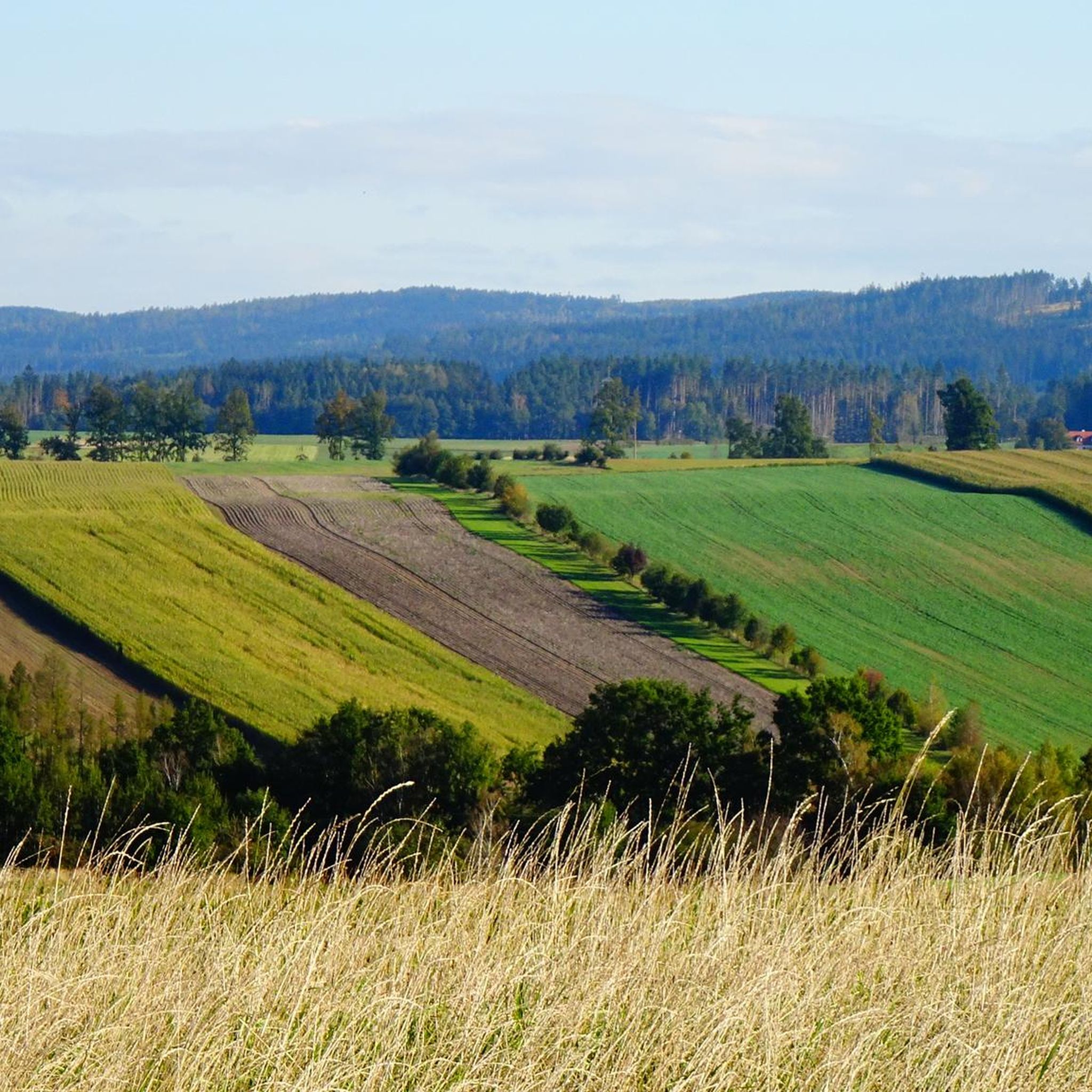
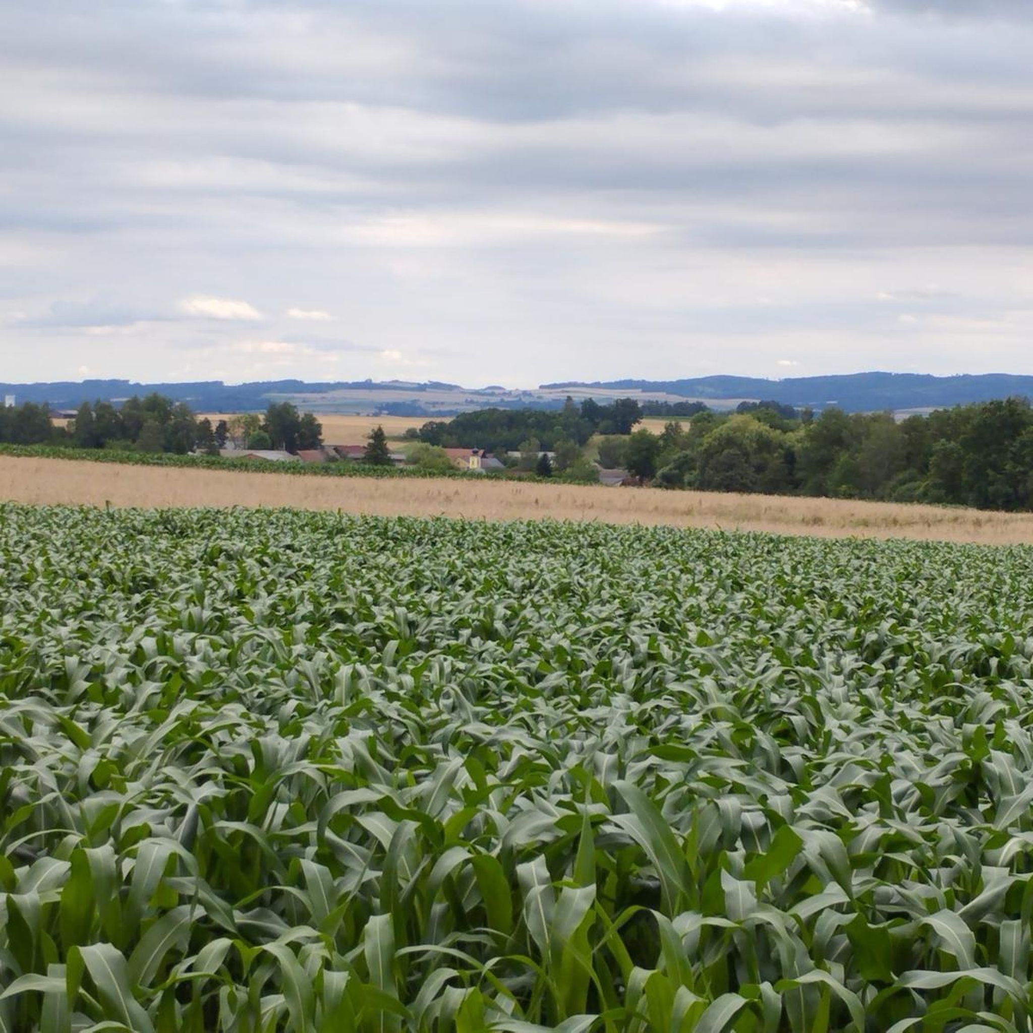
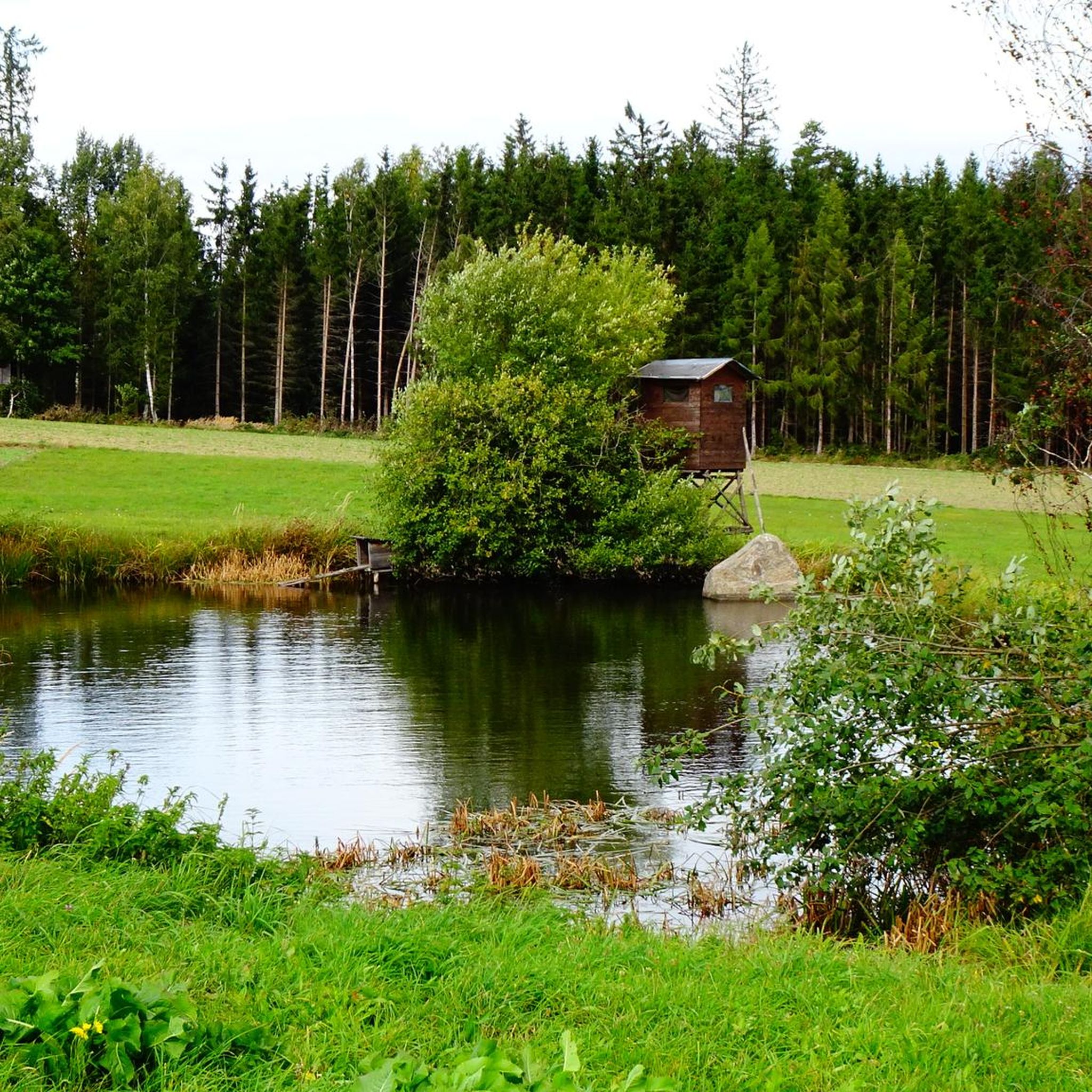
Hikes in Schacherwald traverse a picturesque forest located in the Bezirk Waidhofen an der Thaya, part of the scenic Waldviertel region in Lower Austria. This area is characterized by extensive woodland, contributing to Austria's rich forest environment with diverse tree species. The terrain generally features accessible paths with varying elevation gains, offering a range of experiences from gentle walks to more moderate ascents. The broader region includes meadows and river valleys, providing a varied natural landscape for outdoor activities.
Best…
Last updated: October 5, 2026
4.0
(2)
15
hikers
Moderate hike. Good fitness required. Easily-accessible paths. Suitable for all skill levels.
4.7
(3)
8
hikers
8.98km
02:23
90m
90m
Moderate hike. Good fitness required. Easily-accessible paths. Suitable for all skill levels.

19
hikers
4.18km
01:05
30m
30m
Easy hike. Great for any fitness level. Easily-accessible paths. Suitable for all skill levels.
4.0
(1)
8
hikers
Moderate hike. Good fitness required. Easily-accessible paths. Suitable for all skill levels.
4
hikers
7.37km
01:55
50m
50m
Easy hike. Great for any fitness level. Easily-accessible paths. Suitable for all skill levels.
Get access to more routes and recommendations from other explorers.
Already have an account?
Our route recommendations are based on thousands of hikes, rides, and runs completed by other people on komoot.
Start today with a free account
Your next adventure awaits.

Tips from the Community

I couldn't recognize the Asterix style, but it is a nice resting place all the same.
0
0

An atmospheric place that invites you to linger.
0
0


Very worth seeing, definitely make a stop
0
0

Privately owned and unfortunately no longer open to viewing. Current status: Bulgarian property and for sale.
0
0
Very nice place of power
0
0
Swimming lake with buffet and small playground
0
0
Here you can relax and observe with the telescope.
0
0
Frequently Asked Questions
How many hiking trails are available in Schacherwald?
Schacherwald offers a wide selection of hiking routes, with over 160 trails available. These range from easy walks to more challenging routes, catering to various fitness levels.
What kind of terrain can I expect on hikes in Schacherwald?
The terrain in Schacherwald primarily features accessible forest paths, characteristic of the picturesque Waldviertel region. You'll encounter dense woodlands, open meadows, and gentle river valleys. While many paths are easy, some routes involve moderate ascents and descents, requiring sure-footedness.
Are there any family-friendly hiking options in Schacherwald?
Yes, Schacherwald has numerous family-friendly trails. Many routes are easy, lasting up to two hours with minimal elevation gain, making them suitable for families. For example, the View of Vitis loop from Vitis is an easy 4.2 km path that can be completed in just over an hour.
Can I bring my dog on the hiking trails in Schacherwald?
Yes, Schacherwald is generally dog-friendly, and many trails are suitable for hiking with your canine companion. It's always recommended to keep dogs on a leash, especially in areas with wildlife or near other hikers, and to follow local regulations.
Are there any circular hiking routes in Schacherwald?
Yes, many of the trails in Schacherwald are circular routes, allowing you to start and end at the same point. Popular options include the Meierhofkapelle Schwarzenau – Waldbad Naturbad Zwettl loop from Katastralgemeinde Sparbach and the Ehem. Wasserschloss Grünau loop from Katastralgemeinde Eschenau.
What are the best times of year to go hiking in Schacherwald?
Schacherwald is beautiful throughout the year. Spring brings lush greenery, while autumn offers vibrant foliage. Summer is ideal for longer hikes, and even winter can be magical for snowshoeing or crisp walks, though some paths might require appropriate gear.
What do other hikers say about the trails in Schacherwald?
The trails in Schacherwald are highly rated by the komoot community, with an average score of 4.6 stars from nearly 80 reviews. Hikers often praise the peaceful forest environment, well-maintained paths, and the diverse natural beauty of the Waldviertel region.
Are there any notable landmarks or attractions near the hiking trails?
While Schacherwald itself is a beautiful forest, the broader Bezirk Waidhofen an der Thaya offers several points of interest. You might encounter natural monuments, huts, or even historical sites like the Klinger Mausoleum, the Ruins of Kollmitz Castle, or the Eibenstein Castle Ruins on routes in the wider area.
What is the highest point in the region that I can hike to?
The Predigtstuhl Summit, standing at 718 meters, is the highest point in the Waidhofen an der Thaya district. It's a popular destination for hikers and cyclists, offering potential panoramic views of the surrounding Waldviertel landscape.
Are there any long-distance or more challenging hikes available?
While many routes are easy to moderate, the region does offer some longer and more challenging options. The district provides routes that can extend over five hours and involve significant ascents, though only a few are rated as difficult. The Anderl Chapel loop from Vitis is a moderate 7.8 km route that provides a good workout.
Is there public transport access to Schacherwald or nearby trailheads?
Information on specific public transport routes directly to Schacherwald trailheads is limited. It is generally advisable to check local bus or train schedules for connections to nearby towns like Vitis or Schwarzenau, and plan for potential walks or short taxi rides to reach the starting points of the trails.
Where can I find parking for hiking in Schacherwald?
Parking is typically available in or near the villages surrounding Schacherwald, such as Vitis, Schwarzenau, or Katastralgemeinde Sparbach, which serve as common starting points for many routes. Look for designated parking areas or roadside parking where permitted.
Most popular routes in Schacherwald

Get inspired with the komoot mobile app


Explore more
Browse the best Hikes in other regions.
