The best walks and hikes in Forstmühler Forst
4.4
(928)
3,500
hikers
112
hikes
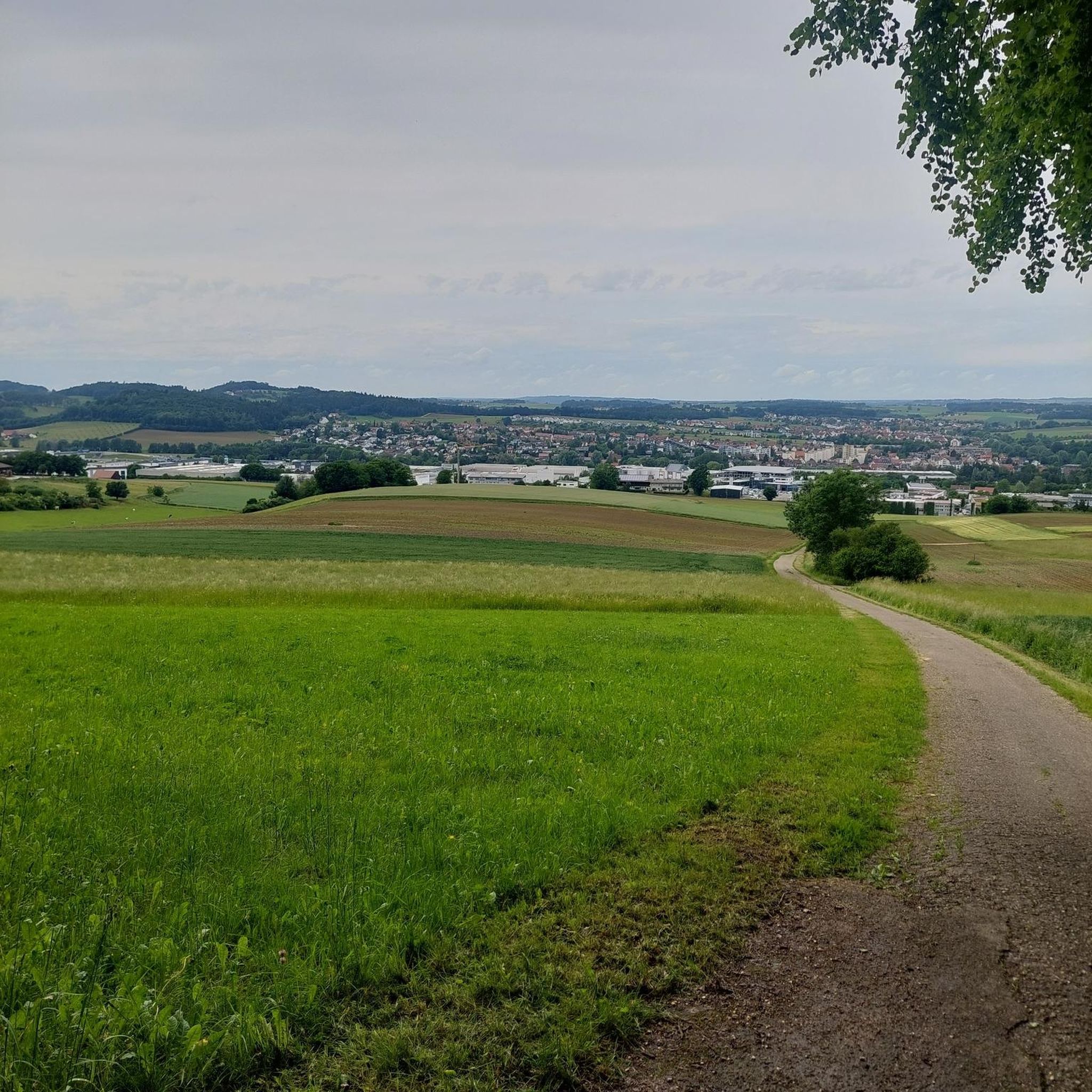
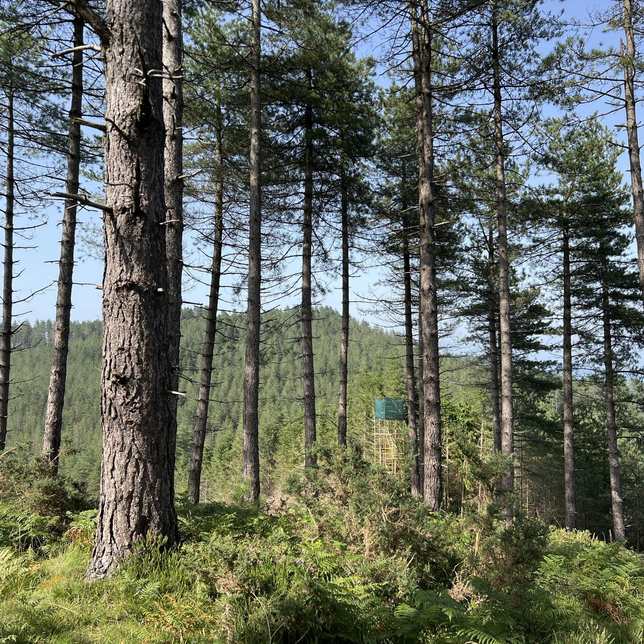
Hiking in Forstmühler Forst offers a diverse range of trails through a predominantly forested area in Landkreis Regensburg, Bavaria. The region is characterized by extensive woodlands, varied terrain, and natural features such as the Otterbach valley and the Kaltenbrunnen spring. Hikers can find routes with elevation gains and scenic viewpoints, suitable for different fitness levels.
Best hiking trails in Forstmühler Forst
- The most popular hiking route is Rocks in the Stream – Otterbach Stream loop from Donaustauf (VGem), a…
Last updated: September 30, 2026
4.4
(154)
416
hikers
8.49km
02:31
250m
250m
Moderate hike. Good fitness required. Mostly accessible paths. Sure-footedness required.
4.6
(56)
169
hikers
7.28km
02:07
200m
190m
Moderate hike. Good fitness required. Mostly accessible paths. Sure-footedness required.

3.9
(46)
143
hikers
6.45km
01:52
170m
170m
Easy hike. Great for any fitness level. Easily-accessible paths. Suitable for all skill levels.
4.4
(24)
87
hikers
14.6km
04:07
310m
310m
Moderate hike. Good fitness required. Easily-accessible paths. Suitable for all skill levels.
4.5
(103)
404
hikers
12.3km
03:26
230m
230m
Moderate hike. Good fitness required. Easily-accessible paths. Suitable for all skill levels.
Get access to more routes and recommendations from other explorers.
Already have an account?
Our route recommendations are based on thousands of hikes, rides, and runs completed by other people on komoot.
Start today with a free account
Your next adventure awaits.
Tips from the Community

From above you have a great view of the Otterbach stream and the rock formations below.
1
0

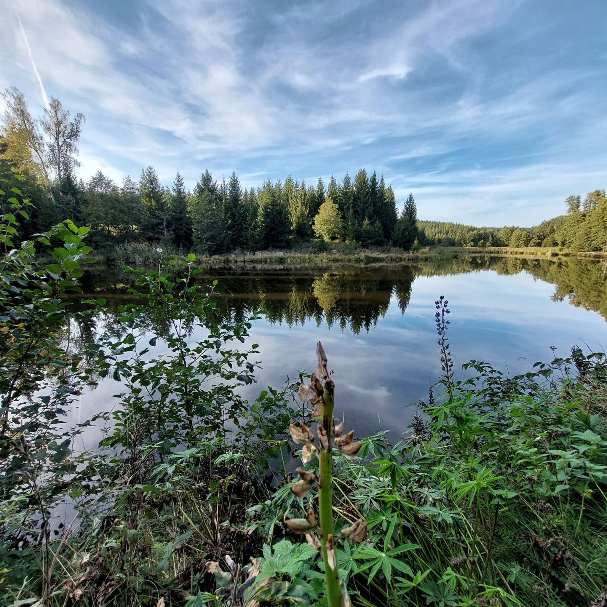
The Otterbach The Otterbach originates in the church village of Süssenbach, in the municipality of Wald in the Chams district, at approximately 477 m above sea level, through the confluence of the Weismühlbach and Steinbach streams. From there, it flows steadily southwestward, initially also called the Süssenbach, in loops that are particularly wide at the beginning. After passing through about a dozen smaller villages in Wald, it crosses the border into the Regensburg district and enters the municipality of Altenthann, passing through the village of Forstmühle there, and then flows northwest past the large, unincorporated forest area of the Forstmühle Forest. It passes successively the Altenthann hamlet of Bruckhäusl on the left bank, its church village of Heuweg on the right bank and on the heights above the valley, the village of Oberlichtenwald, which is located on the same bank as the stream, and the village of Unterlichtenwald on the right bank of the estuary in the wide floodplain. There, the most important tributary, the Sulzbach, flows along the other side of the village. Its upper reaches, together with its own course, even exceed the length of the Otterbach main branch up to this point, but contribute about a quarter less to the catchment area. From there, the St. 2145 state road uses the valley. The valley now narrows again between steep forest slopes, and the Otterbach enters the territory of Markt Donaustauf, where it successively passes the isolated villages of Neumühle and Klammer on its banks. The valley then widens into a large field bay, where it flows between the hamlets of Hammermühle and Dachsberg. Before Scheuchenberg, the stream, which ultimately flows almost southward, deviates to the right and southwest, crosses the church village of Sulzbach an der Donau, flows under the St. 2125 state road, which follows the stream, and flows into the Danube on the left after 17 kilometers. A popular hiking trail runs along the stream between Forstmühle and Hammermühle. Source: Excerpts from www.wikipedia.de
2
0

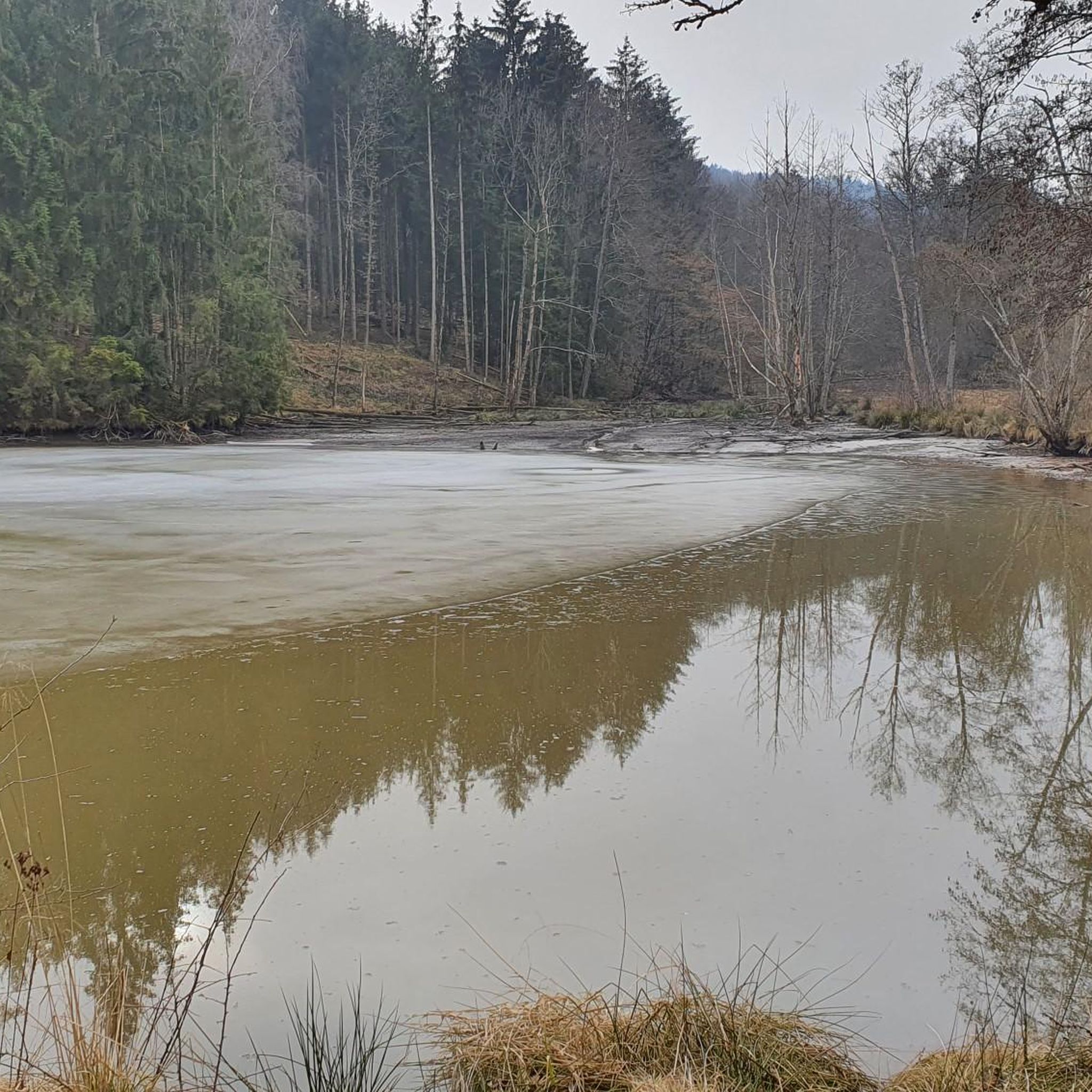
Calm waters with sometimes rapid rapids
0
0
There are many rock formations here
0
0
With a lot of imagination, it is easy to recognize
0
0

Nice beer garden with friendly hosts and fair prices👍🏼
2
0

It's really worth stopping by at Koreawirt 👍
0
0
Frequently Asked Questions
How many hiking trails are available in Forstmühler Forst?
Forstmühler Forst offers a wide selection of hiking opportunities, with over 120 trails available. These routes cater to various fitness levels, including 43 easy, 72 moderate, and 6 difficult trails.
What kind of terrain can I expect on the hiking trails?
The terrain in Forstmühler Forst is diverse, primarily characterized by extensive woodlands. You'll find varying paths, from easily accessible routes to more moderate trails that require a good basic level of fitness. The Otterbach Valley is a prominent feature, offering unique valley ecosystems.
Are there any significant natural features to see while hiking?
Yes, Forstmühler Forst is rich in natural features. A highlight is the Otterbach Valley and the Otterbach Stream, which are central to many routes. You might also encounter the Kaltenbrunnen, a natural spring, providing a refreshing stop along some trails.
What are some notable landmarks or historical sites along the trails?
While hiking, you can discover several interesting points. The historic Reitersteig route includes a boundary stone from ancient times. Additionally, some trails lead towards the impressive Walhalla Memorial, and you might also find the ruins of Heilsberg Castle.
Are there hiking routes suitable for families with children?
Yes, Forstmühler Forst offers several family-friendly options. Many of the easy trails are suitable for children. For example, the Der Korea Wirt – Otterbach Valley loop from Bruckhäusl is an easy 4.0-mile (6.5 km) path through the Otterbach Valley, often completed in under two hours.
Can I bring my dog on the hiking trails in Forstmühler Forst?
Yes, Forstmühler Forst is generally dog-friendly. Most trails are suitable for well-behaved dogs on a leash. The extensive forest paths provide ample space for you and your canine companion to enjoy the natural surroundings.
Are there circular hiking routes available?
Many of the trails in Forstmühler Forst are designed as circular routes, allowing you to start and end at the same point. Popular examples include the Rocks in the Stream – Otterbach Stream loop from Donaustauf (VGem) and the Otterbach Stream – Rocks in the Stream loop from Donaustauf (VGem).
Where can I park my car when visiting Forstmühler Forst?
Convenient parking areas are available at various trailheads throughout Forstmühler Forst, making access easy for visitors. Specific parking locations can often be found near the starting points of popular routes.
Is Forstmühler Forst accessible by public transport?
While the region is primarily forested, some starting points for hikes may be reachable by public transport, though options might be limited. It's advisable to check local bus schedules for connections to towns bordering the Forstmühler Forst area.
What do other hikers say about their experience in Forstmühler Forst?
The hiking routes in Forstmühler Forst are highly rated by the komoot community, with an average score of 4.5 stars from over 800 reviews. Hikers often praise the serene and immersive natural experience offered by the extensive forests, the varied terrain, and the scenic beauty of the Otterbach Valley.
What is the best time of year to go hiking in Forstmühler Forst?
Forstmühler Forst offers a rewarding experience throughout much of the year. Spring and autumn provide pleasant temperatures and beautiful foliage. Summer is also popular, though some paths might be busier. Winter hiking is possible, but conditions can vary, so checking local weather is recommended.
Are there any viewpoints with panoramic vistas?
Yes, Forstmühler Forst boasts multiple viewpoints that provide panoramic vistas of the surrounding landscapes. These elevated spots allow hikers to appreciate the natural beauty of the area, including glimpses of the Danube cycle path near Demling.
Are there places to eat or drink near the hiking trails?
Yes, you can find options for refreshments. The Otterbach Valley Forest Inn (Der Korea Wirt) is a notable spot located along some of the hiking routes, offering a convenient place to eat or drink during your hike.
What is the typical elevation gain on trails in Forstmühler Forst?
The elevation gain on trails in Forstmühler Forst varies depending on the route. While some paths are relatively flat, others can feature significant ascents. For instance, a moderate trail like Rocks in the Stream – Otterbach Stream loop from Donaustauf (VGem) has an elevation gain of approximately 250 meters.
Are there easy hiking options for beginners or casual walkers?
Absolutely. Forstmühler Forst provides a good selection of easy trails suitable for beginners or those looking for a more relaxed walk. These paths are generally less strenuous and cover shorter distances, allowing everyone to enjoy the natural beauty of the forest.
Most popular routes in Forstmühler Forst
Most popular attractions in Forstmühler Forst

Get inspired with the komoot mobile app


Explore more
Browse the best Hikes in other regions.
