The best road cycling routes in Forst Doberschütz
4.6
(69)
831
riders
139
rides
Road cycling in Forst Doberschütz features a landscape characterized by extensive forest areas, riverine scenery along the Mulde River, and gentle hills. The region offers a diverse network of routes, with many featuring mostly paved surfaces suitable for road cyclists. Elevation gains are generally moderate, making the area accessible for various fitness levels.
Best road cycling routes in Forst Doberschütz
- The most popular road cycling route is Mulde Bridge, Eilenburg – Thallwitz Castle loop from Rote Jahne, a 32.2…
Last updated: July 1, 2026
4
riders
50.6km
02:12
220m
220m
Moderate road ride. Good fitness required. Some segments of this route may be unpaved and difficult to ride.
4.3
(3)
28
riders
58.3km
02:21
150m
150m
Moderate road ride. Good fitness required. Some segments of this route may be unpaved and difficult to ride.

Sign up for free
5.0
(2)
10
riders
64.5km
02:39
340m
340m
Moderate road ride. Good fitness required. Mostly well-paved surfaces and easy to ride.
5.0
(1)
9
riders
60.8km
02:40
160m
160m
Moderate road ride. Good fitness required. Some segments of this route may be unpaved and difficult to ride.
7
riders
34.4km
01:33
100m
100m
Easy road ride. Great for any fitness level. Mostly well-paved surfaces and easy to ride.
Get access to more routes and recommendations from other explorers.
Sign up for free
Already have an account?
Our route recommendations are based on thousands of hikes, rides, and runs completed by other people on komoot.
Start today with a free account
Your next adventure awaits.
Login or Signup
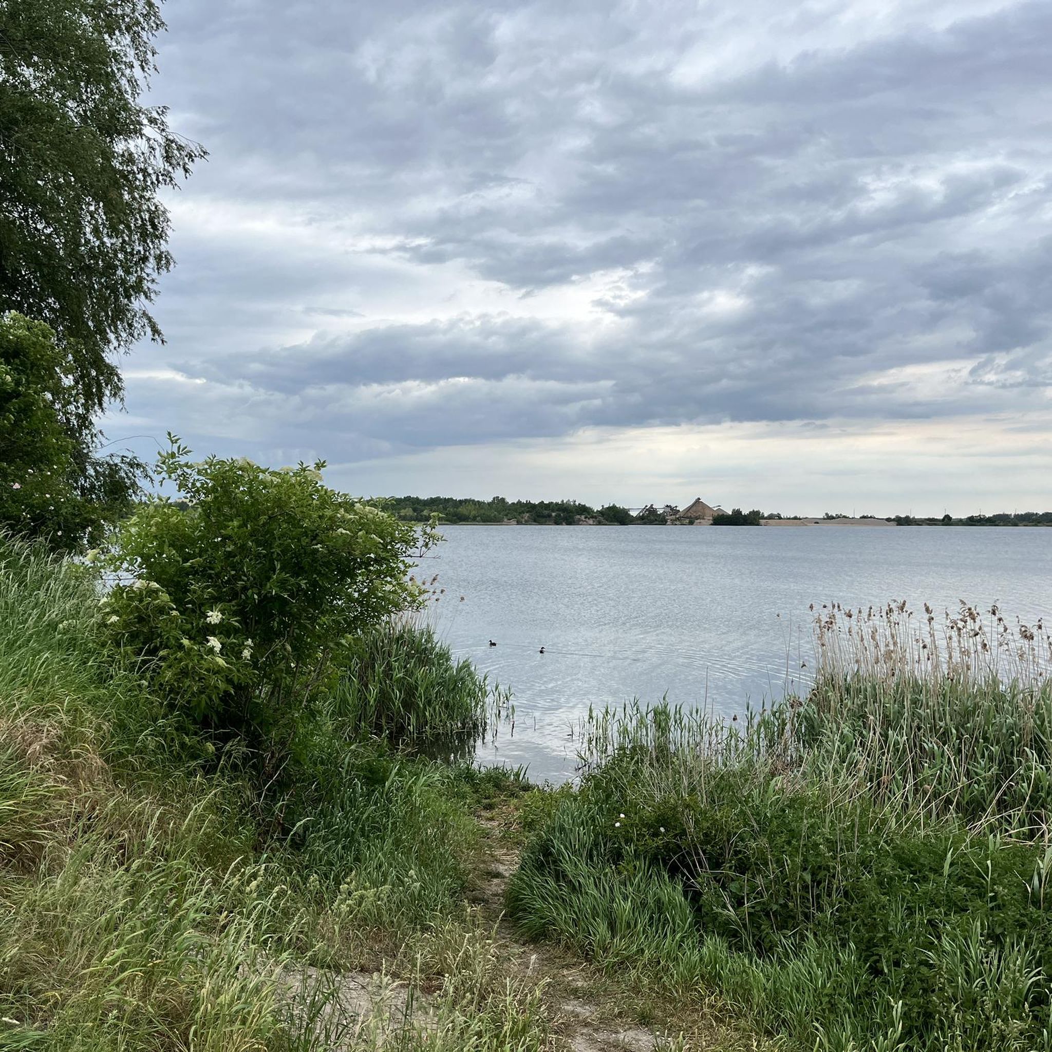
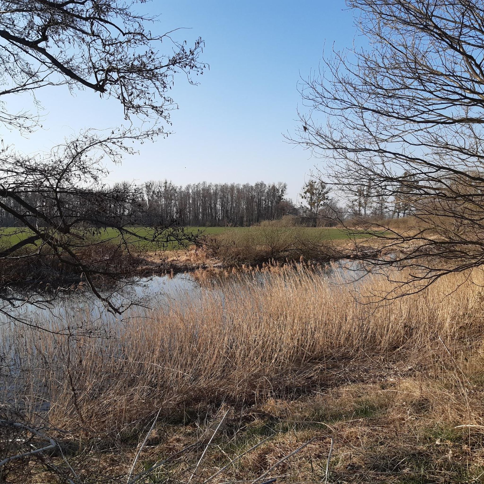
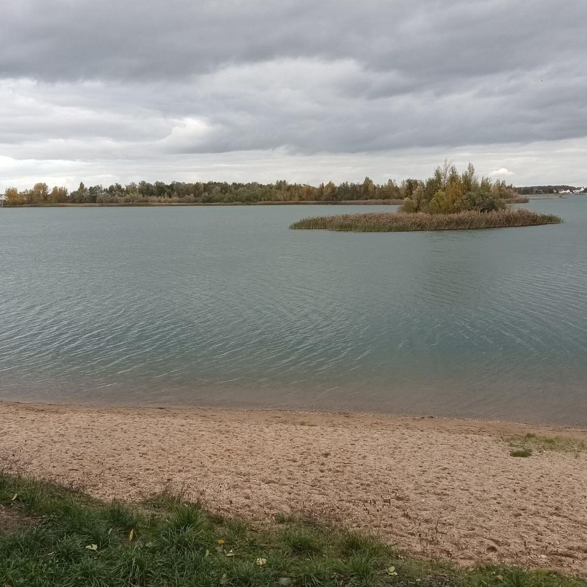
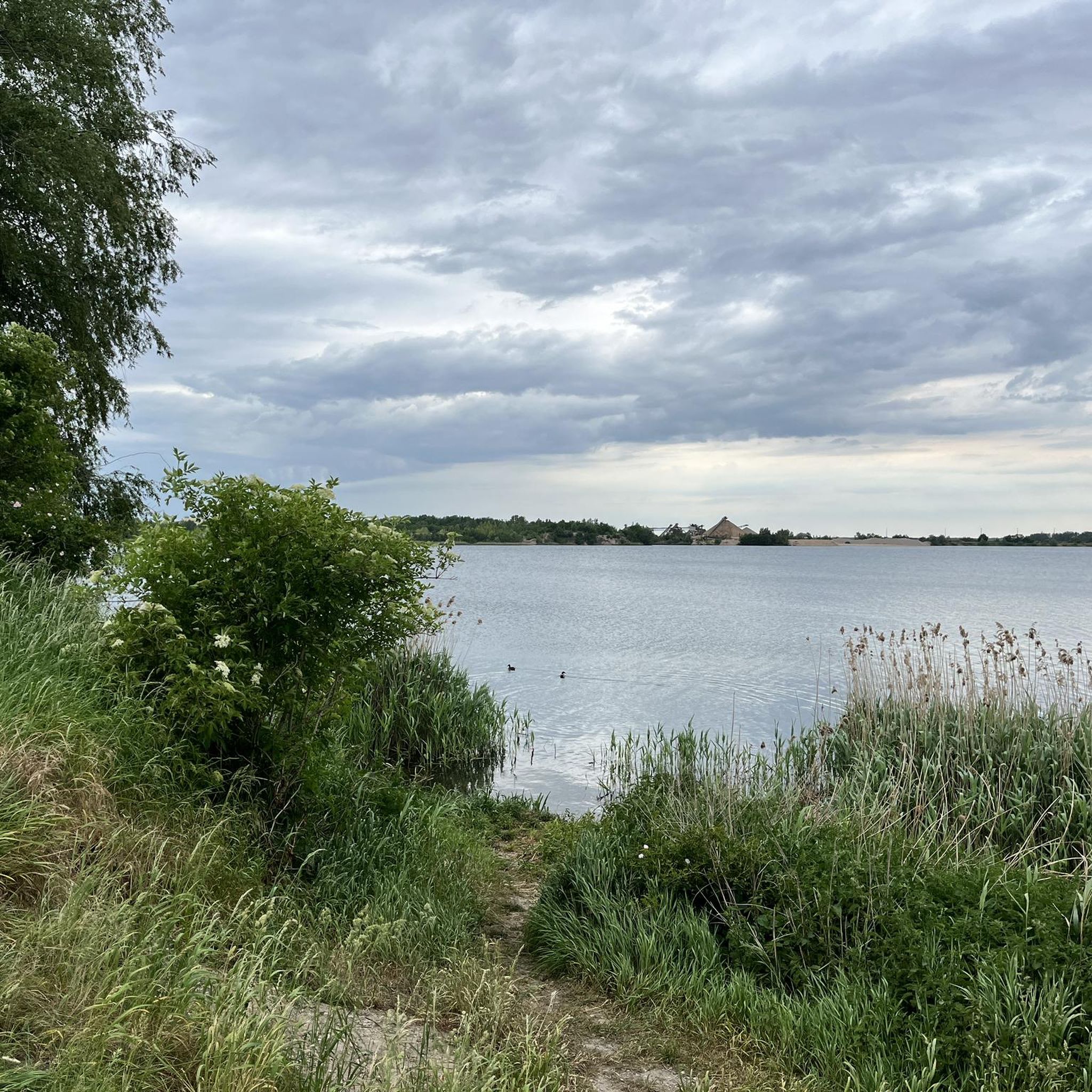
Tips from the Community

The axe, renewed and carefully maintained since the 18th century, is considered a landmark of the place, keeps the Pumphut legend alive and even made it into the local coat of arms. For some years now, there has also been a 1.80-meter-high bronze figure of the axe-throwing Pumphut by the Bad Schmiedeberg sculptor Gert Büttner.[7] The primary school in Mockrehna also bears the name Pumphut because of the legend.[8] The original axe was later first kept in the tower's orb and is now located in the museum in the Gutshaus.[9] Source https://de.wikipedia.org/wiki/Kirche_Mockrehna
1
0
According to legend, Martin Pumphut, also known as the sorcerer of Upper Lusatia, sat one evening as a journeyman in a Mockrehna inn, teased the peasants and the miller, showed off tricks with his axe, until a newly arrived guest shouted: "This is the sorcerer, he is in league with the devil, take his magic axe away from him!" Pumphut jumped out, ran into the cemetery. And when the crowd pursuing him wanted to grab him, he swung his axe and let it fly with a hiss and a crash to the church tower's spire, where it got stuck. Everyone looked after it, and Pumphut disappeared under a large stone. He was never seen again afterwards.[5] Another version of the legend can be found in a record discovered in 1902 in the church tower's cavity: "Pumphut was a miller's apprentice of great strength, but a brawler who often used an axe. (Millers had the right to carry axes in the 17th century.) Now, Pumphut was to have his axe taken away, but with the words: 'Before you get it, it shall stick in your tower as an eternal reminder!' he threw it at the then wooden tower top, where it got stuck. It is still stuck there today to the amazement of many travelers passing by on the train." – Article in the Linzer Volksblatt of September 12, 1902[6] Source https://de.wikipedia.org/wiki/Kirche_Mockrehna
1
0
The interior has a flat, dark wooden beamed ceiling. The triumphal arches to the choir area under the tower and to the apse are Romanesque with side imposts. The three-sided galleries are light gray and the entire room is in simple white. The altar stands in the apse and, between columns decorated with carvings, shows a crucifixion scene as the altarpiece, surrounded by angel images with irregular frames. In the center of the choir stands the sandstone baptismal font. The pulpit is made of wood. On its basket, it shows the images of the evangelists and on its staircase, Jacob with the ladder to heaven. The church has three bells, the oldest dating from 1662. A bell of the same age, also made of bronze, had to be handed over for armament purposes in World War I and was replaced in 1922 by a steel bell with the inscription "Glory to God in the highest". Finally, in 1985, a third bell with the inscription "Dona nobis pacem" was added from a private donation. Source https://de.wikipedia.org/wiki/Kirche_Mockrehna
2
0
The church is a Romanesque choir tower church built of fieldstones, approximately 24 m long and 10 m wide. The shaft of the rectangular tower and the adjoining round apse with a cone roof are of exposed stone. The tower carries a saddle roof running in a north-south direction with two dormers with bull's-eye windows. The gables on the tower and the nave are plastered. The tower carries a copper-clad Baroque dome with an octagonal lantern and ends with the spire, in which the Pumphut axe, the tower globe, and the weather vane are mounted. The gables of the tower show a clock face to the north and south respectively. The bell storey of the tower has round-arched twin windows with a central column, two on the broad side facing east, one on each narrow side. The nave features round-arched windows, whose high position is determined by the gallery inside. A shortening of the gallery on the south side allows for a larger window there. Segmental arched windows at ground floor level mark former, partly bricked-up doorways. The door and window surrounds are made of bog iron ore. The entrance to the church is through an annex with a hip roof on the west side, which also contains the staircase to the gallery. Source https://de.wikipedia.org/wiki/Kirche_Mockrehna
2
0
The Mockrehna Church was built around the year 1208. Until the first Lutheran church visitation in 1525, it had its own parish, which then went to the larger Wildenhain. From 1925 to 2001, Mockrehna was again an independent church community.[4] Since 1945, Catholic services have also been held in the church. In 1705, the church was fundamentally rebuilt. The tower was demolished to a height of six meters, and the reconstruction received its current baroque form. The doors on the north and south sides gave way to a sandstone portal on the west gable, which was later replaced by an extension. The church was completely plastered. The church interior received its current form. The axe from the Pumphut legend was first attached as a wooden one on the tower, which was replaced by an iron one in 1835. In 1956, the apse and tower were freed from plaster, but it was reapplied to the tower gables in the 2010s. In 1976/77, the weather vane, tower globe, and axe were renewed, and the slate covering of the hood was replaced with copper sheet. The church received its tower clock in 1982. Source https://de.wikipedia.org/wiki/Kirche_Mockrehna
2
0
The Mockrehna church is a sacred building of the Evangelical Church in Central Germany, located in the center of Mockrehna near Torgau in the Nordsachsen district.[1] It belongs to the Audenhain parish[2] and is a listed monument.[3] It is – also because of the broad axe allegedly thrown into the spire by Pumphut – the landmark of the place.
2
0
Definitely worth seeing
1
0
Frequently Asked Questions
How many road cycling routes are available in Forst Doberschütz?
Forst Doberschütz offers a wide selection of road cycling routes, with over 140 tours available. These routes cater to various skill levels, including 57 easy, 82 moderate, and a few more challenging options.
What kind of terrain can I expect when road cycling in Forst Doberschütz?
The region around Forst Doberschütz is characterized by diverse landscapes, including extensive forest areas like the Dübener Heide, tranquil riverine scenery along the Mulde River, and gentle hills. Most routes feature mostly paved surfaces, making them ideal for road cyclists.
Are there any easy road cycling routes suitable for beginners or families in Forst Doberschütz?
Yes, Forst Doberschütz has 57 easy road cycling routes, perfect for beginners or families looking for a relaxed ride. An example is the Strelln Church – Mockrehna town sign loop from Doberschütz, which is 33.9 km long with minimal elevation gain.
What are some scenic road cycling routes with notable landmarks or viewpoints?
Many routes offer scenic views and pass by points of interest. The Mulde Bridge, Eilenburg – Thallwitz Castle loop from Rote Jahne provides views of the Mulde River and passes by Thallwitz Castle. Another option is the Hartenfels Castle – Großwig Historic Post Mill loop from Doberschütz, which includes historical sites like Hartenfels Castle and the Großwig Historic Post Mill.
Are there any longer, more challenging road cycling routes in the area?
For those seeking a greater challenge, routes like the Scenic forest road in Reudnitz – Hohburger Hills loop from Doberschütz offer a longer distance of 64.5 km and more significant elevation gain through the Hohburger Hills, requiring good to very good fitness.
What do other road cyclists enjoy most about road cycling in Forst Doberschütz?
The area is highly rated by the komoot community, with an average score of 4.5 stars from over 60 reviews. Road cyclists often praise the varied terrain, the extensive network of mostly paved paths, and the blend of natural beauty and historical interest found along the routes.
Are there circular road cycling routes available in Forst Doberschütz?
Yes, many of the road cycling routes in Forst Doberschütz are designed as loops, allowing you to start and end at the same point. Examples include the Mulde Bridge, Eilenburg – Mulde Bridge in Bad Düben loop from Doberschütz, which follows the Mulde River, and the 'Paved Pathway in Dübener Heide – Morellensee loop' mentioned in regional research.
What is the best time of year for road cycling in Forst Doberschütz?
While specific data on the best season isn't provided, the diverse landscapes and well-developed cycling infrastructure suggest that spring, summer, and early autumn would offer the most pleasant conditions for road cycling, with milder weather and vibrant natural scenery.
Can I find routes that follow rivers or pass by lakes?
Absolutely. The region is known for its riverine scenery along the Mulde River. Routes like the Mulde Bridge, Eilenburg – Mulde Bridge in Bad Düben loop from Doberschütz specifically follow the Mulde River, offering tranquil riverside landscapes. The Dübener Heide also features lakes, such as the Morellensee, which can be part of cycling loops.
Are there any historical or cultural attractions to see along the road cycling routes?
Yes, the area combines natural beauty with historical interest. You can find attractions such as castles and huts. For instance, the Mulde Bridge, Eilenburg – Thallwitz Castle loop from Rote Jahne passes by Thallwitz Castle, and the Hartenfels Castle – Großwig Historic Post Mill loop from Doberschütz includes Hartenfels Castle and the Großwig Historic Post Mill. The Rathaus Eilenburg, a Renaissance building from 1545, is also nearby.
What are the general elevation gains like on road cycling routes in Forst Doberschütz?
Elevation gains in Forst Doberschütz are generally moderate, making the area accessible for various fitness levels. While some routes feature significant elevation gains of over 1500 feet, many offer gentler climbs, with some shorter excursions having less than 500 feet of elevation gain.
Most popular routes in Forst Doberschütz

Get inspired with the komoot mobile app


Explore more
Browse the best Road cycling routes in other regions.
