The best road cycling routes in Hoheholz
4.4
(1430)
15,703
riders
621
rides
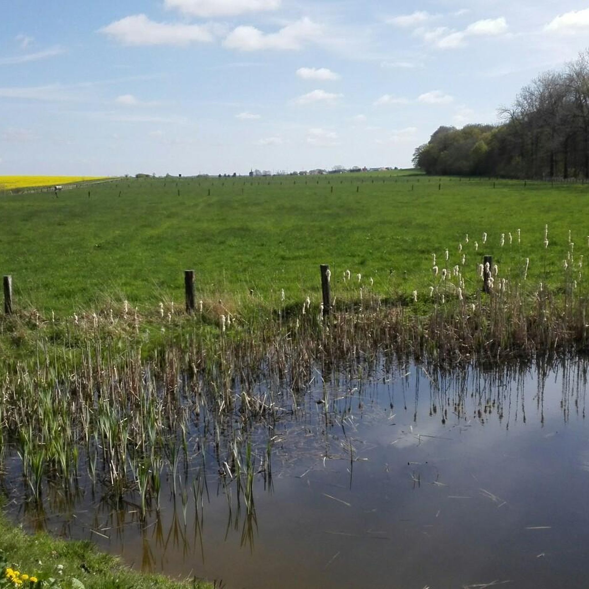
Road cycling routes in Hoheholz traverse a 1,500-hectare wooded hilly landscape near Oschersleben, Germany. This region is designated as a landscape conservation area, featuring a diverse tree and plant population. The terrain gently rises from the lowlands, providing varied elevation profiles for road cyclists. At its northern edge, the Aller river originates, adding to the natural features of the area.
Best road cycling routes in Hoheholz
- The most popular road cycling route is Rittergut Beienrode – Beienrode Chapel loop from…
Last updated: October 13, 2026
5.0
(2)
19
riders
53.4km
02:09
230m
230m
Moderate road ride. Good fitness required. Mostly well-paved surfaces and easy to ride.
4.3
(4)
16
riders
65.3km
02:48
260m
260m
Moderate road ride. Good fitness required. Some segments of this route may be unpaved and difficult to ride.

6
riders
Moderate road ride. Good fitness required. Some segments of this route may be unpaved and difficult to ride.
4.0
(1)
29
riders
34.7km
01:23
160m
160m
Easy road ride. Great for any fitness level. Mostly well-paved surfaces and easy to ride.
25
riders
38.7km
01:38
150m
150m
Moderate road ride. Great for any fitness level. Some segments of this route may be unpaved and difficult to ride.
Get access to more routes and recommendations from other explorers.
Already have an account?
Our route recommendations are based on thousands of hikes, rides, and runs completed by other people on komoot.
Start today with a free account
Your next adventure awaits.
Tips from the Community

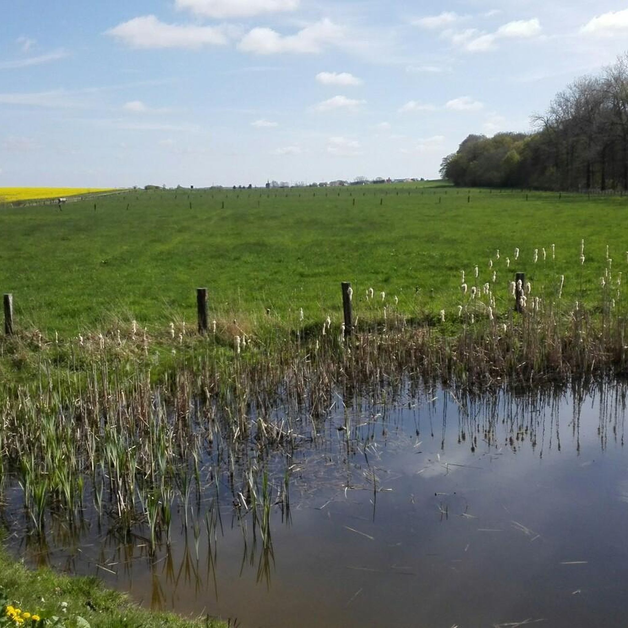
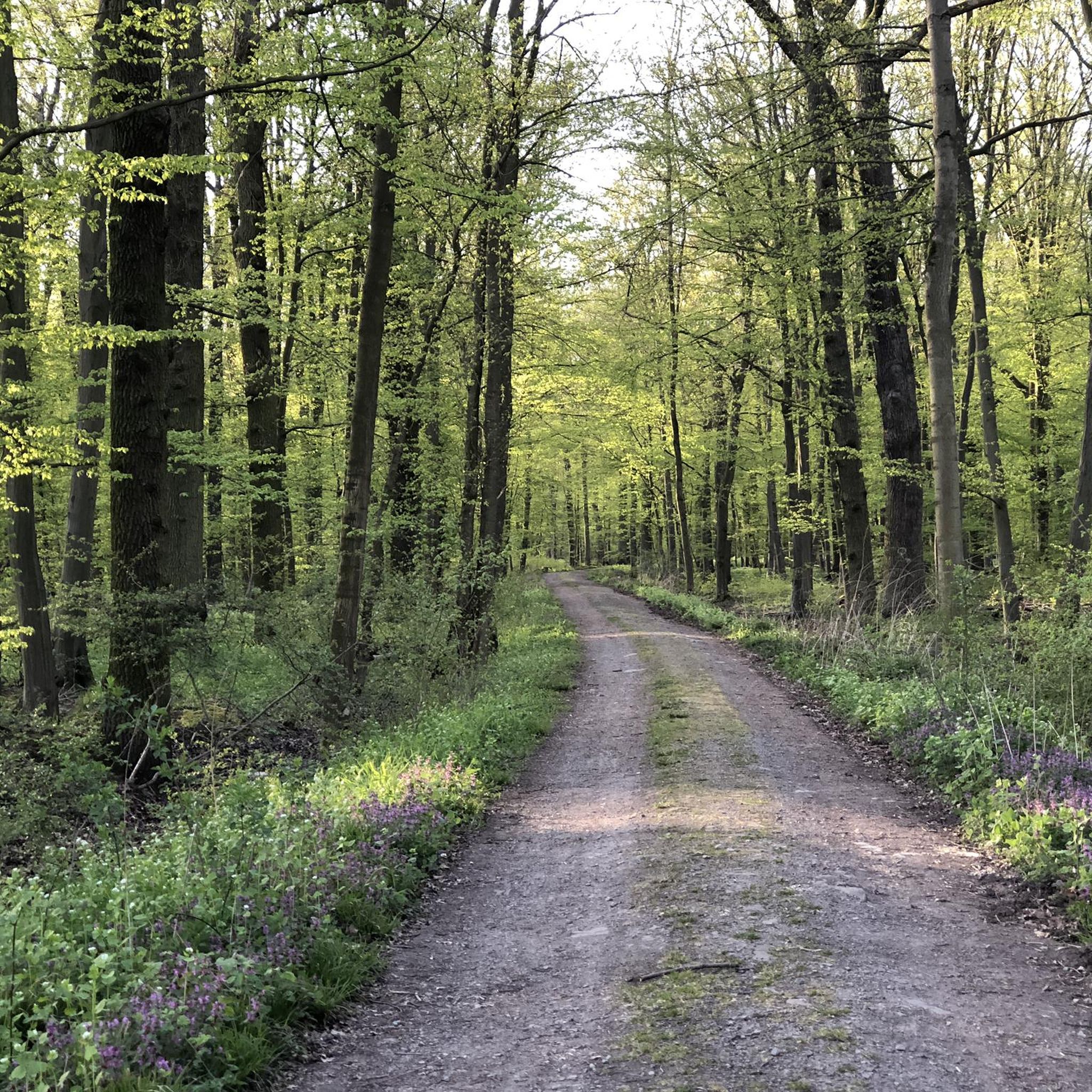
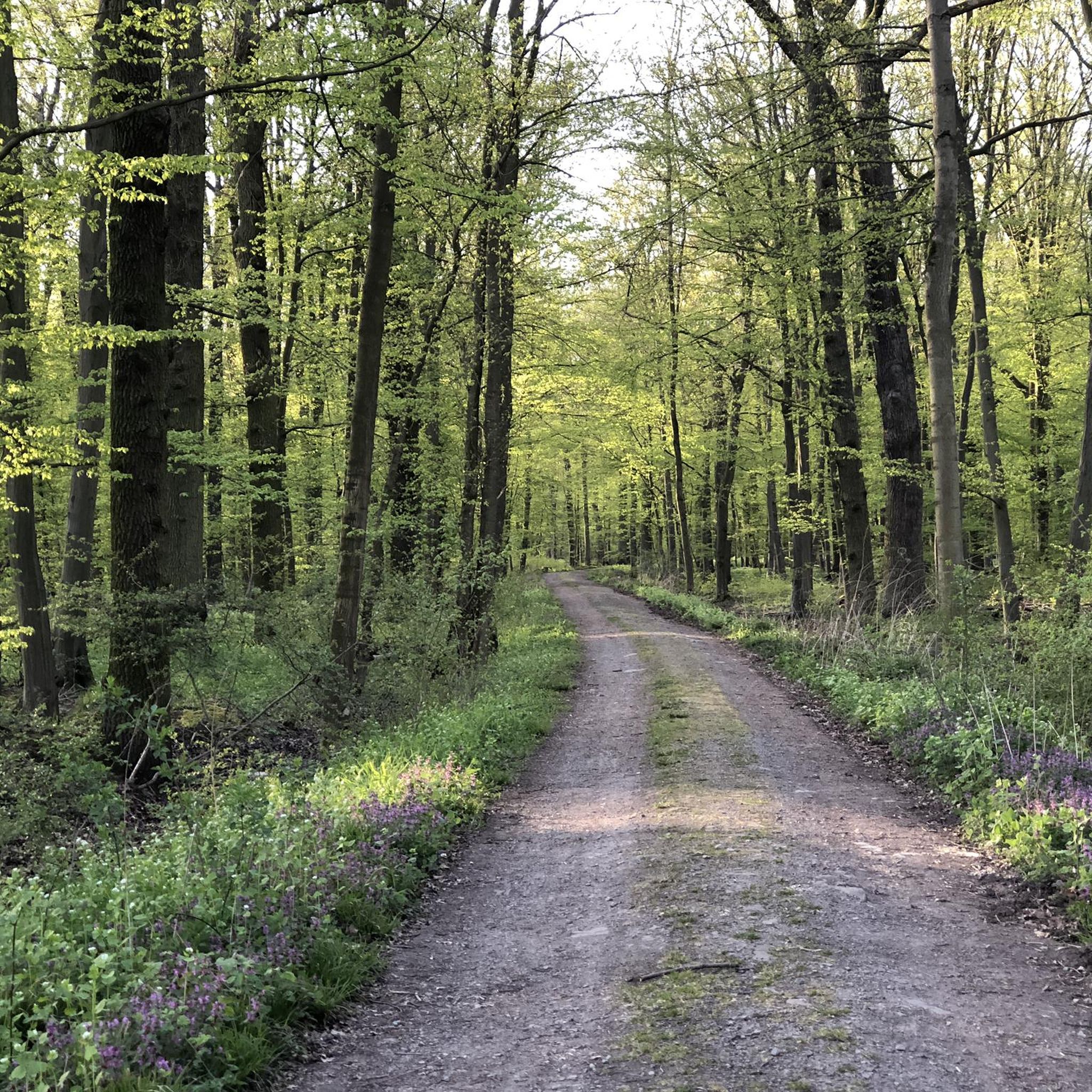
good surface and beautiful forest atmosphere
0
0

Ride calmly most of the time. Interesting is that the bridge is not in line with the road.
0
0

The Autostadt in Wolfsburg is far more than just a delivery center for new cars – it is a 28-hectare theme and experience park that combines architecture, design, technology, and nature directly on the north bank of the Mittellandkanal. The Autostadt is designed as a "walkable brand". Each brand of the Volkswagen Group presents itself in its own, architecturally spectacular pavilion.
0
0
The VW-Hafenbecken is a central logistical hub directly at the Volkswagen headquarters in Wolfsburg. It connects the car factory with the Mittellandkanal, Germany's most important artificial waterway.
0
0
The Sandkämper Bridge (often also referred to as Stellfelder Bridge) is an absolutely strategic hub in western Wolfsburg. It directly connects the Sandkamp district with the VW plant and the Nordstadt.
0
0

It's probably more likely a giraffe!
0
0

The Wolfsburg Planetarium is located at the foot of Klieversberg hill in the Bürgerpark (Citizens' Park). After Volkswagen presented the city of Wolfsburg with a Zeiss star projector for its anniversary in 1978, the construction of the planetarium with its 15-meter-high dome was commissioned. The celestial machine, which features stargazing expeditions as well as science and music programs, can accommodate approximately 140 visitors.
1
0

The gravel has now become firm, but is now much rougher than before and the old asphalt is showing through again in the corners.
1
0
Frequently Asked Questions
How many road cycling routes are available in Hoheholz?
Hoheholz offers a wide selection of road cycling routes, with over 640 tours available on komoot. This includes a variety of options, from easy rides to more challenging routes, ensuring there's something for every skill level.
What kind of terrain can I expect when road cycling in Hoheholz?
The terrain in Hoheholz is characterized by a wooded hilly landscape that gently rises from the lowlands. You'll find many cycling paths with paved surfaces, making them enjoyable for road cyclists. The region's diverse natural features, including dense forests and the nascent Aller river, contribute to picturesque routes.
Are there easy road cycling routes suitable for beginners in Hoheholz?
Yes, Hoheholz has numerous easy road cycling routes. For instance, the St. Jürgen Church, Beienrode – Avenue near Essenrode loop from Essenrode is an easy option, covering about 34.8 km with moderate elevation gain, perfect for those looking for a less strenuous ride.
What are some challenging road cycling routes in Hoheholz?
For cyclists seeking a greater challenge, Hoheholz offers routes with more significant elevation gain and longer distances. While specific difficult routes are fewer, the region's hilly nature allows for rides up to five hours and 1500 feet of elevation, providing a strenuous workout amidst natural beauty.
What do other road cyclists enjoy most about Hoheholz?
The Hoheholz region is highly rated by the komoot community, with an average score of 4.5 stars from over 1,400 reviews. Cyclists often praise the beautiful forest setting, the varied terrain, and the well-maintained paved surfaces that make for an enjoyable road cycling experience.
Are there any scenic viewpoints or natural landmarks along the road cycling routes?
Yes, Hoheholz, being a landscape conservation area, offers several scenic spots. You can find highlights like the Otte Pond observation platform and the Rest area at Weidensool Pond, which provide opportunities to enjoy the natural beauty. The region's diverse tree and plant population also ensures picturesque views throughout the seasons.
Can I find circular road cycling routes in Hoheholz?
Many of the road cycling routes in Hoheholz are designed as loops, allowing you to start and end your ride in the same location. An example is the Wendhausen Windmill – Road to Berg loop from Groß Brunsrode, which offers a moderate 50.5 km ride through the area's scenic landscapes.
Is Hoheholz suitable for family-friendly road cycling?
While Hoheholz offers routes for various fitness levels, the 'wooded hilly landscape' means some routes will have elevation changes. For family-friendly options, look for routes specifically designated as 'easy' with minimal elevation gain, often found on the flatter sections or dedicated cycle paths like the Cycle Path Between Klein Brunsrode and Groß Brunsrode.
What is the best time of year to go road cycling in Hoheholz?
Hoheholz is beautiful throughout the changing seasons due to its rich and varied tree and plant population. Spring and autumn offer pleasant temperatures and vibrant scenery, while summer provides longer daylight hours. Always check local weather conditions before heading out.
Are there any specific points of interest or attractions to explore near the cycling routes?
Beyond the cycling itself, Hoheholz offers several points of interest. You can visit the Avenue near Essenrode for a pleasant ride, or explore the Hasen-Camp-Teich Information Point for insights into the local ecosystem. The region's status as a landscape conservation area means there's natural beauty to discover around every turn.
What are the typical distances and elevation gains for road cycling routes in Hoheholz?
Road cycling routes in Hoheholz vary significantly. Easy rides can be up to two hours with around 500 feet of elevation gain, while more challenging routes may extend up to five hours and include up to 1500 feet of elevation gain. For example, the Road to Berg – Wendhausen Windmill loop from Groß Brunsrode is a moderate 36.8 km route with about 143 meters of elevation.
Most popular routes in Hoheholz
Most popular attractions in Hoheholz

Get inspired with the komoot mobile app


Explore more
Browse the best Road cycling routes in other regions.
