The best running trails in Bockmerholz
4.4
(1610)
31,273
runners
1,166
runs
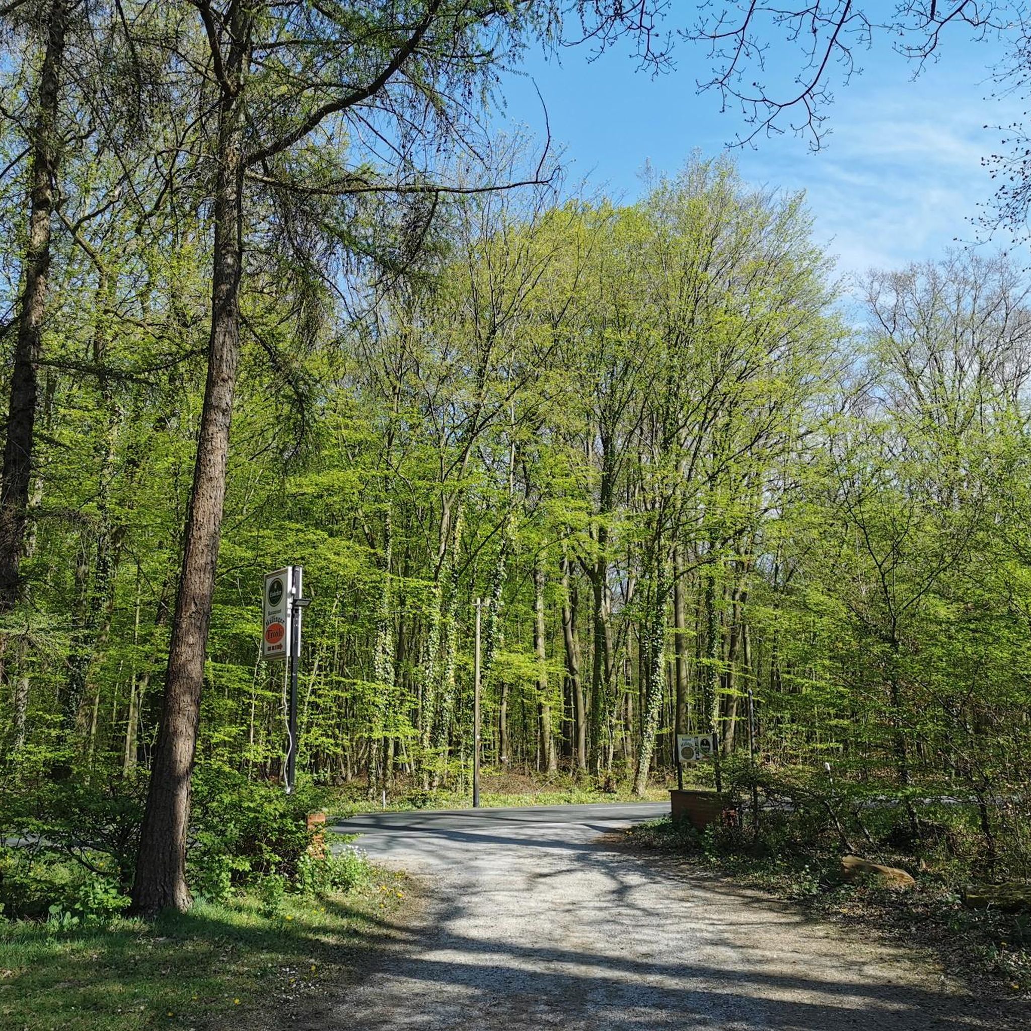
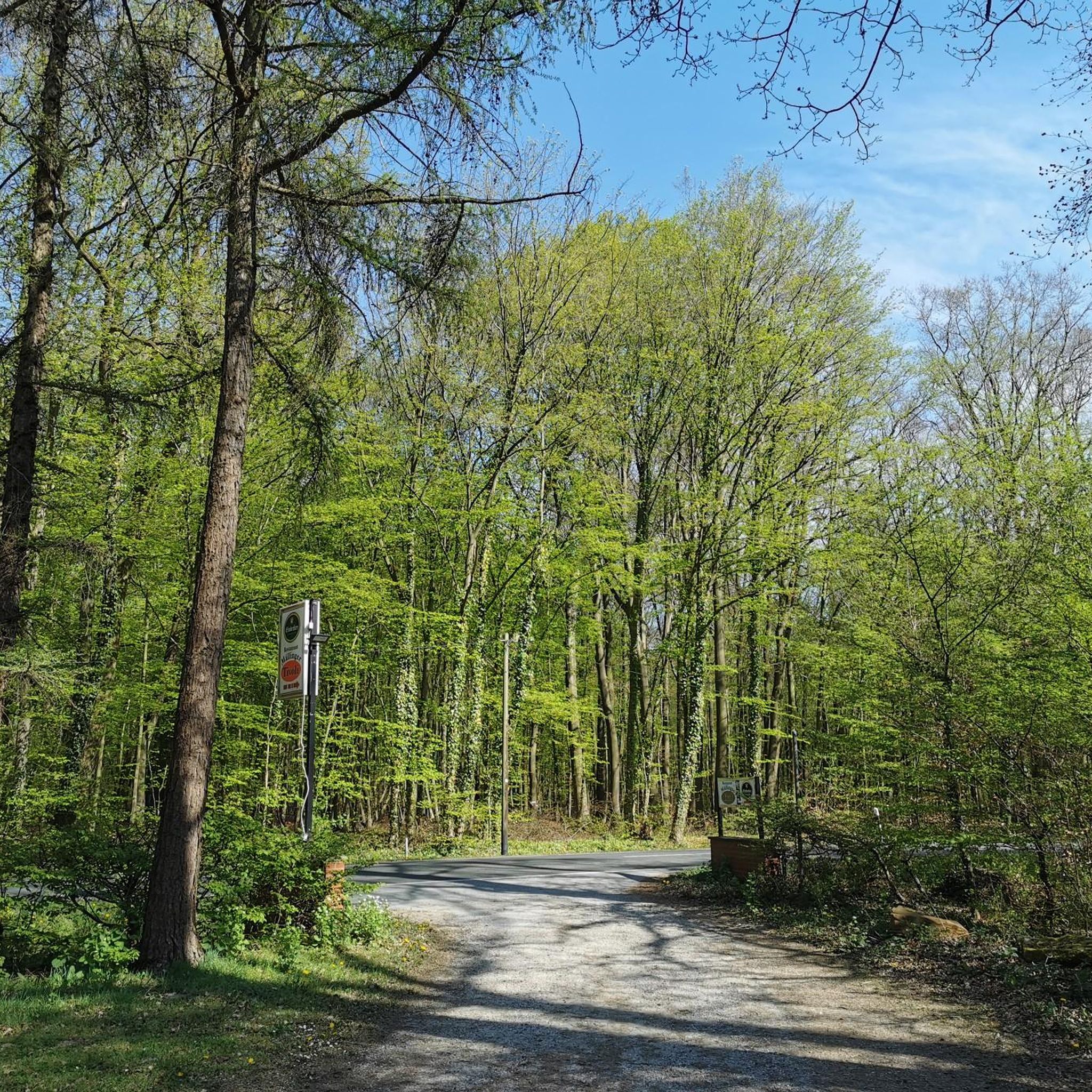
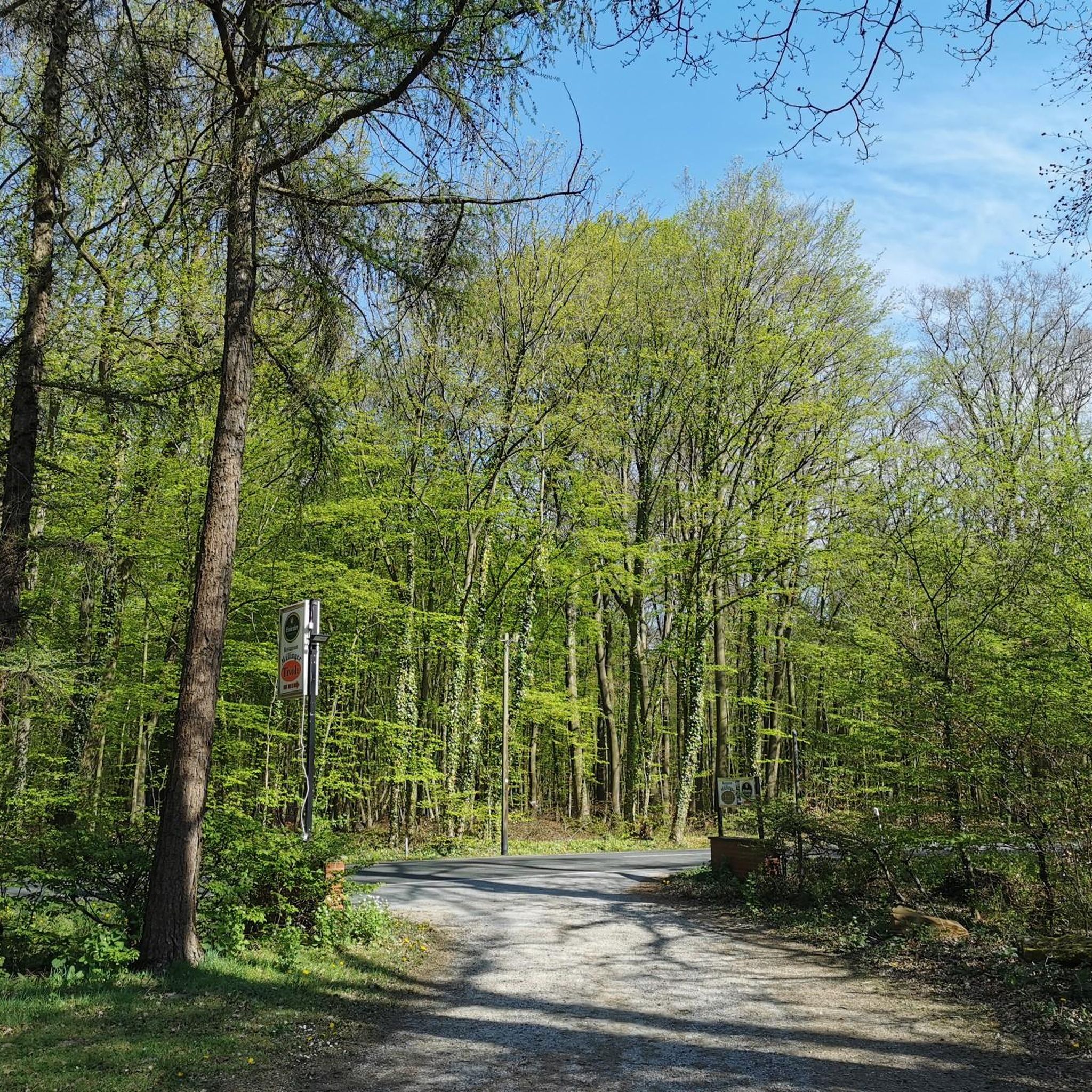
Jogging in Bockmerholz offers access to an extensive natural forest characterized by diverse flora and a network of easily accessible paths. The region provides a natural and less-developed environment, distinct from commercial forests. Its western edge is known for diverse flora, including early bloomers like yellow and white anemones in spring, adding seasonal beauty to the landscape. Numerous paths, including beautifully winding routes, make it suitable for various outdoor activities.
Best jogging routes in Bockmerholz
- The most popular jogging route is Running loop from Bockmerholz, Gaim, a 4.9 miles (7.9 km) trail that takes 52 minutes to complete. This route features moderate elevation changes through the forest.
- Another top favourite among local runners is View of Wülferode – Kronsberg Viewpoint loop from Bockmerholz, Gaim, an easy 3.1 miles (4.9 km) path. This route offers pleasant views and is suitable for a quick run.
- Local runners also love the Bockmerholz Nature Reserve – Small pond in Region Hannover loop from Wülferode, a 5.3 miles (8.6 km) trail leading through the natural reserve, often completed in about 55 minutes.
- Jogging in Bockmerholz is defined by extensive natural forests, diverse flora, and easily accessible paths. The network offers options for different ability levels, from easy loops to more challenging routes.
- The routes in Bockmerholz are highly rated by the komoot community with an average score of 4.4 stars from over 1,500 reviews. More than 35,000 runners have used komoot to explore Bockmerholz's varied terrain.
Last updated: May 23, 2026
4.5
(2)
14
runners
7.94km
00:52
20m
20m
Moderate run. Good fitness required. Mostly paved surfaces. Suitable for all skill levels.
8
runners
4.61km
00:30
20m
20m
Easy run. Great for any fitness level. Mostly paved surfaces. Suitable for all skill levels.

Sign up for free
4.5
(2)
6
runners
5.36km
00:36
10m
10m
Moderate run. Good fitness required. Mostly paved surfaces. Suitable for all skill levels.
4.8
(6)
43
runners
10.7km
01:08
50m
50m
Moderate run. Good fitness required. Mostly paved surfaces. Suitable for all skill levels.
9
runners
18.7km
01:59
90m
90m
Hard run. Very good fitness required. Mostly paved surfaces. Suitable for all skill levels.
Get access to more routes and recommendations from other explorers.
Sign up for free
Already have an account?
Our route recommendations are based on thousands of hikes, rides, and runs completed by other people on komoot.
Start today with a free account
Your next adventure awaits.
Login or Signup

Tips from the Community

The summit cross on the Kronsberg marks Hanover's highest point – 118 meters above sea level. It stands on an artificially raised observation hill on the southeastern outskirts of the city, near the Expo site. From here, you can enjoy a sweeping view of the city, the Deister Mountains, and the surrounding countryside.
9
0

A beautiful bike path. It's easy to ride.
1
1

The Kronsberg hill covers an area of approximately 2,000 hectares. The mountain originally had an elevation of 106 m above sea level. The artificially created, twelve-meter-high observation hill at the original summit raised its elevation to 118 m above sea level. A second hill was built on the southern shoulder, reaching a height of 107.3 m above sea level. It is located approximately 2.3 km south-southwest of the summit. The observation points offer a sweeping view of Hanover and the surrounding mountain ranges, such as the Deister. The observation hills were created in the late 1990s and also serve as a design element. Trees are planted along the edges of their summits. Their soil consists of limestone marl, which was excavated during the construction work on the Kronsberg. The slopes of the oval-shaped hills are unplanted and serve as a habitat for warm- and lime-loving plants. The viewing hills are about 80 meters wide and, in an east-west direction, about 250 meters long, and the southern hill about 200 meters long. Their summits are also oval and about one-fifth of the dimensions mentioned. Source: https://de.wikipedia.org/wiki/Kronsberg
1
0
At 107 m, the South Hill is slightly lower than the North Hill (118 m). But the climb up is steeper!
1
0

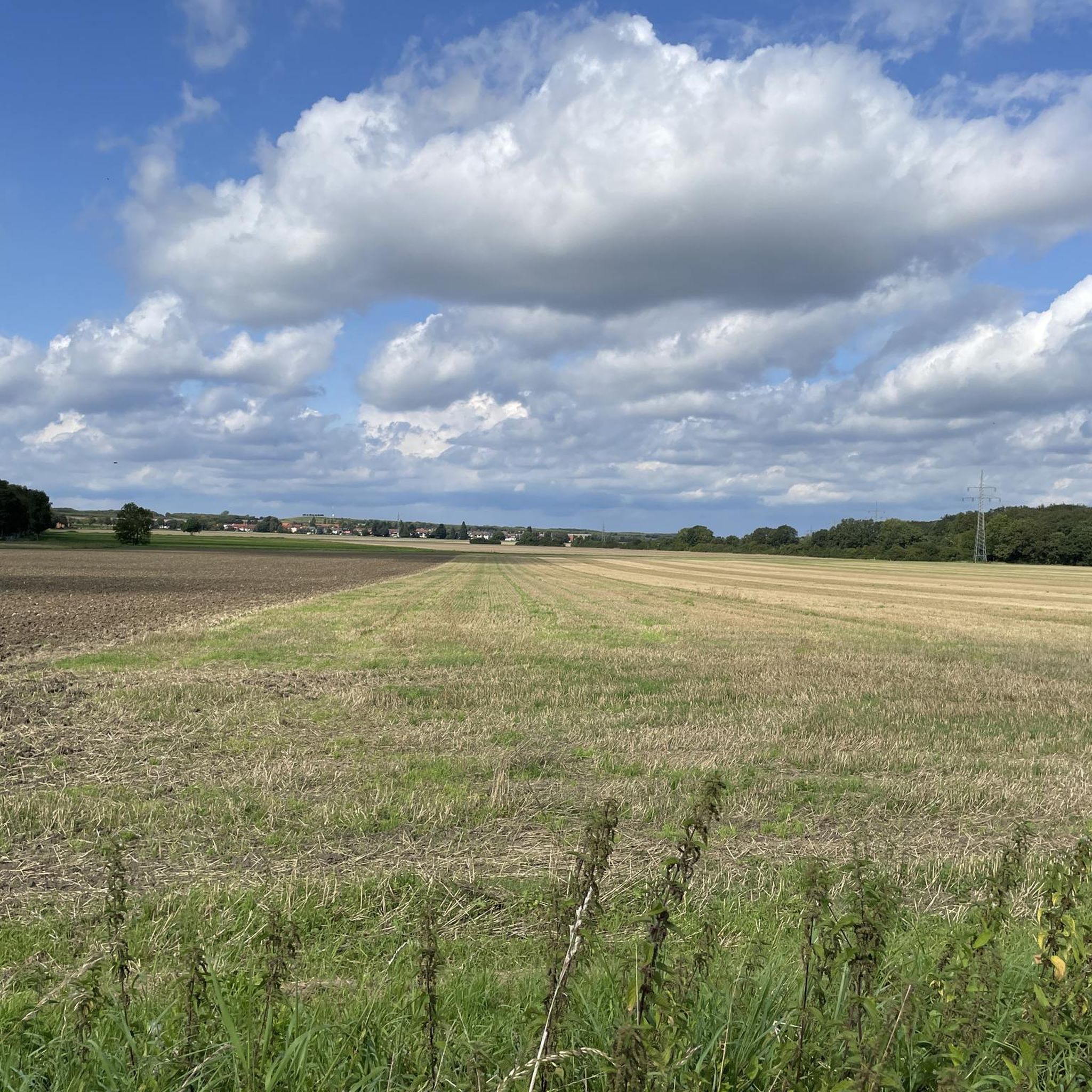
Beautiful view of the south of the Hanover region. If the visibility is good you can see the Brocken.
1
0

Very beautiful forest area! It's worth it. Enter at your own risk. It's best not to go here during a storm or immediately after one.
0
0

a very beautiful forest area, is largely left to its own devices, only trees blocking the path are removed (mostly anyway 😂).
1
0

A plaque in a display case provides an overview of the history of the chapel.
0
0
Frequently Asked Questions
How many running routes are available in Bockmerholz?
Bockmerholz offers a wide selection of running routes, with over 1,100 trails available for exploration. These range from easy strolls to more challenging runs, catering to all fitness levels.
Are there easy running trails suitable for beginners or casual joggers?
Yes, Bockmerholz has numerous easy running paths. There are over 120 easy routes, including the View of Wülferode – Kronsberg Viewpoint loop from Bockmerholz, Gaim, which is an easy 3.1-mile (4.9 km) path offering pleasant views for a quick run.
What kind of terrain can I expect on the jogging paths in Bockmerholz?
The terrain in Bockmerholz is primarily characterized by extensive natural forest with diverse flora. You'll find a network of easily accessible paths, including beautifully winding routes like the 'Waldweg im Bockmerholz'. Some sections, such as the 'Gepflasterter Wirtschaftsweg über den Ellerngraben', offer paved farm tracks with wide-open views.
Are there any scenic spots or landmarks to see while running in Bockmerholz?
Absolutely! While running, you can encounter several points of interest. The Bockmerholz Nature Reserve itself is a highlight, and you might come across the unique Crucifixion Sculpture by Heinrich Kracke at Eisenwinkel. The Forest Path in Bockmerholz is particularly noted for its charming, winding routes, especially beautiful in autumn.
Can I bring my dog on the running routes in Bockmerholz?
Bockmerholz's natural forest and extensive network of paths make it a great place for running with your dog. While specific dog rules may vary, generally, well-behaved dogs on a leash are welcome on most trails in natural areas. Always ensure to clean up after your pet.
Are there family-friendly jogging options in Bockmerholz?
Yes, many of the easily accessible paths in Bockmerholz are suitable for families. The natural and less-developed environment provides a safe and enjoyable setting. Look for the 'easy' graded routes, which are typically shorter and have minimal elevation changes, perfect for a family outing.
Are there any circular running routes in the area?
Bockmerholz features many excellent circular running routes. For example, the Bockmerholz Nature Reserve – Small pond in Region Hannover loop from Wülferode is a popular 5.3-mile (8.6 km) trail that takes you through the natural reserve in a loop.
How accessible is Bockmerholz by public transport or car?
Bockmerholz is generally well-regarded for its accessibility. While specific public transport links to trailheads might require local research, the area is known to have a parking lot, making it convenient for those arriving by car. Its network of paths is easily accessible for various outdoor activities.
What is the best time of year to go running in Bockmerholz?
Bockmerholz offers beauty year-round, but spring and autumn are particularly appealing. In spring, the western edge of the forest is known for diverse flora, including early bloomers like yellow and white anemones. Autumn brings beautifully winding routes with charming fall colors. Summer offers lush greenery, while winter can provide a serene, quiet experience.
What do other runners enjoy most about jogging in Bockmerholz?
The running routes in Bockmerholz are highly rated by the komoot community, with an average score of 4.4 stars from over 1,500 reviews. Runners often praise the extensive natural forest, the diverse flora, and the network of easily accessible paths that offer a serene and natural backdrop for their runs.
Are there any challenging running trails for experienced runners?
Yes, for those seeking a more demanding run, Bockmerholz also offers challenging routes. There are over 110 difficult routes available. An example is the Mittelland Canal – Kronsberg South Hill Summit loop from Laatzen, a difficult 11.6-mile (18.7 km) trail with significant elevation changes.
Are there any paved sections for running in Bockmerholz?
Yes, for runners who prefer a less rugged surface, there are paved options. The 'Gepflasterter Wirtschaftsweg über den Ellerngraben' (Paved Farm Track Over Ellerngraben) is a notable highlight, providing wide-open views and low traffic, making it a pleasant choice for a run.
Most popular routes in Bockmerholz
Most popular attractions in Bockmerholz

Get inspired with the komoot mobile app


Explore more
Browse the best Running Trails & Routes in other regions.
