The best road cycling routes in Bentheimer Wald
4.3
(101)
1,556
riders
117
rides
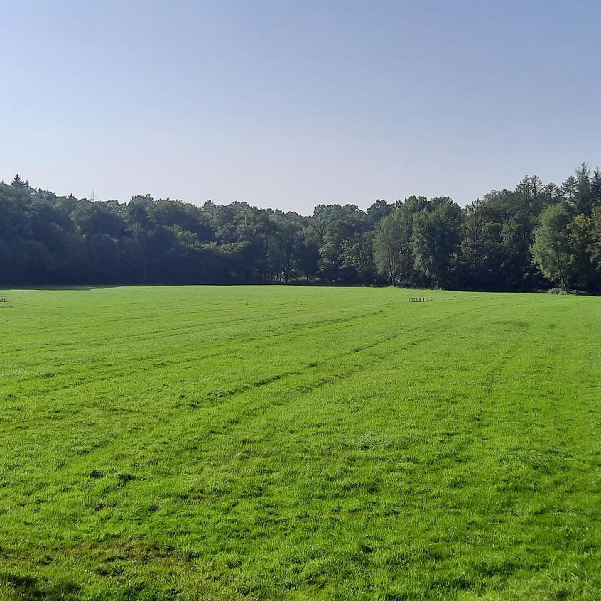
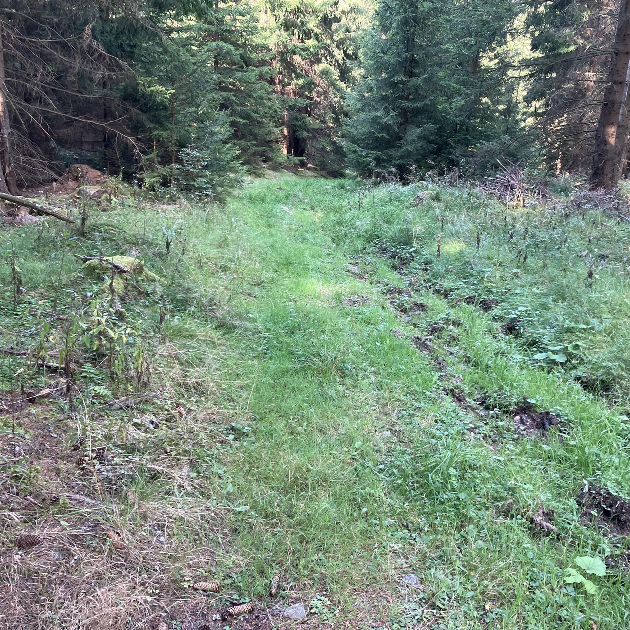
Road cycling in Bentheimer Wald is characterized by its extensive forest areas, interspersed with open fields and gentle, rolling terrain. The region features a network of paved roads suitable for road bikes, with minimal significant climbs. Elevations are generally low, with most ascents qualifying as hills rather than mountains. This landscape provides varied road bike routes Bentheimer Wald distance and elevation profiles, catering to different fitness levels.
Best road cycling routes in Bentheimer Wald
- The most popular road cycling route is Brechte Fields and Forests – St. Lamberti Church (Ochtrup) loop from Bad Bentheim, an easy 17.7 miles (28.5 km) trail that takes 1 hour 20 minutes to complete. This route navigates through a mix of agricultural fields and forested sections.
- Another top favourite among local road cyclists is Bentheim Castle – Gildehaus East Mill loop from Bad Bentheim, a moderate 22.6 miles (36.4 km) path. This route offers views of historic landmarks and rural landscapes.
- Local road cyclists also love the St. Antonius Church Engden – Bentheim Castle loop from Bad Bentheim, a 33.2 miles (53.4 km) trail leading through varied countryside, often completed in about 2 hours 25 minutes.
- Road cycling in Bentheimer Wald is defined by dense woodlands, open fields, and gentle hills. The network offers options for beginner friendly road bike routes Bentheimer Wald as well as more advanced road bike trails Bentheimer Wald with climbs.
- The routes in Bentheimer Wald are highly rated by the komoot community with an average score of 4.4 stars from over 80 reviews. More than 1,400 road cyclists have used komoot to explore Bentheimer Wald's varied terrain.
Last updated: May 24, 2026
29
riders
28.8km
01:21
130m
130m
Easy road ride. Great for any fitness level. Mostly well-paved surfaces and easy to ride.
4.0
(3)
19
riders
36.3km
01:29
110m
110m
Moderate road ride. Great for any fitness level. Some segments of this route may be unpaved and difficult to ride.

Sign up for free
1.0
(1)
18
riders
53.1km
02:22
150m
150m
Moderate road ride. Good fitness required. Some segments of this route may be unpaved and difficult to ride.
8
riders
91.6km
03:54
300m
300m
Moderate road ride. Good fitness required. Some segments of this route may be unpaved and difficult to ride.
4.8
(9)
70
riders
39.6km
01:47
60m
60m
Moderate road ride. Great for any fitness level. Some segments of this route may be unpaved and difficult to ride.
Get access to more routes and recommendations from other explorers.
Sign up for free
Already have an account?
Our route recommendations are based on thousands of hikes, rides, and runs completed by other people on komoot.
Start today with a free account
Your next adventure awaits.
Login or Signup
Other adventures in Bentheimer Wald

Tips from the Community

There are always little railway houses here that are set up as seating or rest areas
0
0

Beautiful area, definitely worth a visit.
0
0
Very pleasant cycle path to ride.
0
0

Around the railway technology, there are benches and information boards that invite you to take a break. Here you can catch your breath in peace while learning more about the history of the "Rheinische Eisenbahn" and the importance of the train station for the region. 🚲🥪
1
0
🚲🛤️✨ The old railway technology at the former St. Arnold train station is a fascinating open-air museum for everyone who wants to feel the heartbeat of railway history on the Münsterland cycle path. Where steam and diesel locomotives once puffed along the route between Rheine and Coesfeld, today it is a reminder of the railway era.
1
0
🚲✨ The Große Kirche in Burgsteinfurt is an imposing monument of Westphalian church architecture and the historical heart of the Protestant parish. You will find this impressive hall church directly on the market square of Burgsteinfurt, embedded in the picturesque backdrop of magnificent half-timbered houses and cobbled streets.
4
0
🦎✨ The sand lizard conservation area at Post 48 is a fascinating example of how nature conservation and modern leisure activities go hand in hand on the Radbahn Münsterland. You will find this special place in the farming community of Dumte, about halfway between Steinfurt-Borghorst and Burgsteinfurt.
3
0
🚲✨ Post 48 on the Radbahn Münsterland is one of the most charming stopping points on the entire former railway line between Rheine and Coesfeld. You will find this lovingly restored signalman's post in the Dumte farming community, exactly on the section between Borghorst and Burgsteinfurt.
3
0
Frequently Asked Questions
How many road cycling routes are available in Bentheimer Wald?
Bentheimer Wald offers a wide selection of road cycling routes, with over 120 tours available. These routes cater to various skill levels, including 36 easy, 87 moderate, and a few more challenging options.
Are there road cycling routes suitable for beginners in Bentheimer Wald?
Yes, Bentheimer Wald has numerous beginner-friendly road cycling routes. An excellent option is the Brechte Fields and Forests – St. Lamberti Church (Ochtrup) loop from Bad Bentheim, an easy 17.7-mile (28.5 km) trail that navigates through a pleasant mix of agricultural fields and forested sections.
What kind of terrain can I expect on road cycling routes in Bentheimer Wald?
The region is characterized by extensive forest areas, open fields, and gentle, rolling terrain. While there are no significant mountain climbs, you'll encounter low elevations and mild ascents, providing varied profiles suitable for different fitness levels.
Are there any more challenging road cycling routes with climbs in Bentheimer Wald?
While Bentheimer Wald is known for its gentle terrain, some routes offer more elevation gain. For a moderate challenge, consider the St. Antonius Church Engden – Bentheim Castle loop from Bad Bentheim, a 33.2-mile (53.4 km) trail with over 150 meters of ascent, leading through varied countryside.
What are some scenic spots or landmarks I can see while road cycling in Bentheimer Wald?
Many routes offer views of historic landmarks and natural beauty. You can pass by the impressive Bentheim Castle, or explore natural highlights like the Hute and Schneitel Forest Bad Bentheim. The Bentheim Castle – Gildehaus East Mill loop from Bad Bentheim is a popular choice for combining rural landscapes with historic sights.
Are there any family-friendly road cycling options in Bentheimer Wald?
Yes, the gentle terrain and well-maintained roads make Bentheimer Wald suitable for family road cycling. Many of the easy and moderate routes, particularly those avoiding busy main roads, are ideal for cycling with children. Look for routes that pass through parks or offer opportunities for short breaks.
What is the best season for road cycling in Bentheimer Wald?
Spring, summer, and early autumn are generally the best seasons for road cycling in Bentheimer Wald. Spring offers blooming landscapes, summer provides warm weather, and autumn showcases beautiful foliage. Always check local weather conditions before heading out, especially for rain or strong winds.
Where can I find parking for road cycling routes in Bentheimer Wald?
Many routes start from towns like Bad Bentheim, where public parking facilities are available. Specific parking information is often detailed in the route descriptions on komoot, or you can look for designated parking areas near popular trailheads or attractions like Bentheim Castle.
Are there cafes or rest stops along the road cycling routes?
Yes, many routes pass through or near small villages and towns where you can find cafes, restaurants, and other amenities for a break. Planning your route with komoot allows you to see points of interest and potential rest stops along the way.
What do other road cyclists enjoy most about road cycling in Bentheimer Wald?
The komoot community highly rates road cycling in Bentheimer Wald, with an average score of 4.4 stars from over 80 reviews. Cyclists often praise the quiet woodlands, the mix of open fields and forested sections, and the well-paved roads that make for a smooth riding experience.
Are there many circular road cycling routes in Bentheimer Wald?
Yes, a significant number of road cycling routes in Bentheimer Wald are designed as loops, allowing you to start and end at the same point. This is convenient for those driving to the area. Examples include the Gildehaus East Mill – White Bridge over the Dinkel loop from Bad Bentheim, a moderate 33-mile (53 km) option.
Can I reach the road cycling trails in Bentheimer Wald using public transport?
Bad Bentheim, a central starting point for many routes, is accessible by train, making it possible to reach the area via public transport. From there, you can easily connect to various road cycling routes. Check local bus schedules for connections to smaller towns within the region.
Most popular routes in Bentheimer Wald
Most popular attractions in Bentheimer Wald

Get inspired with the komoot mobile app


Explore more
Browse the best Road cycling routes in other regions.
