The best road cycling routes in Bucher Forst
4.6
(743)
8,795
riders
635
rides
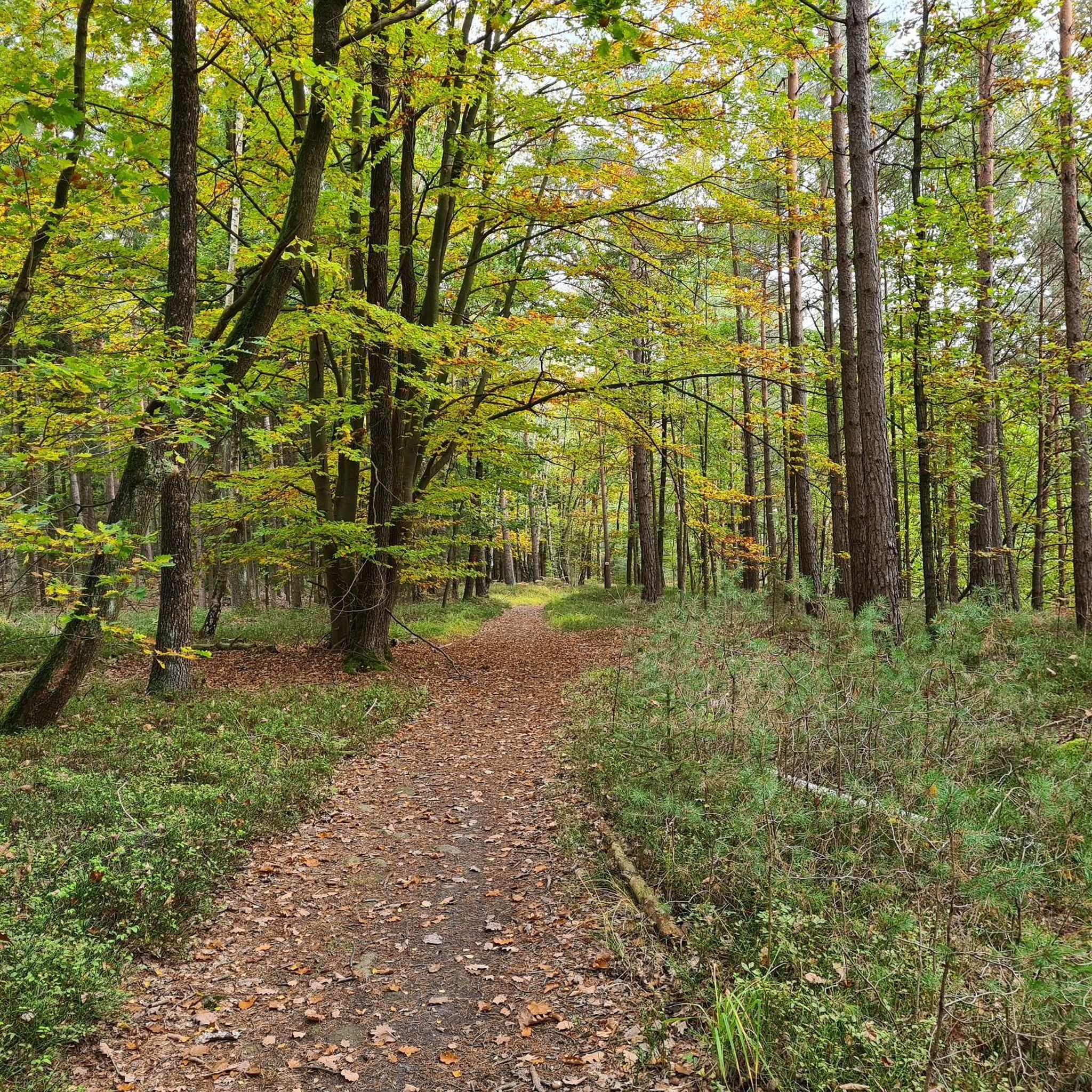
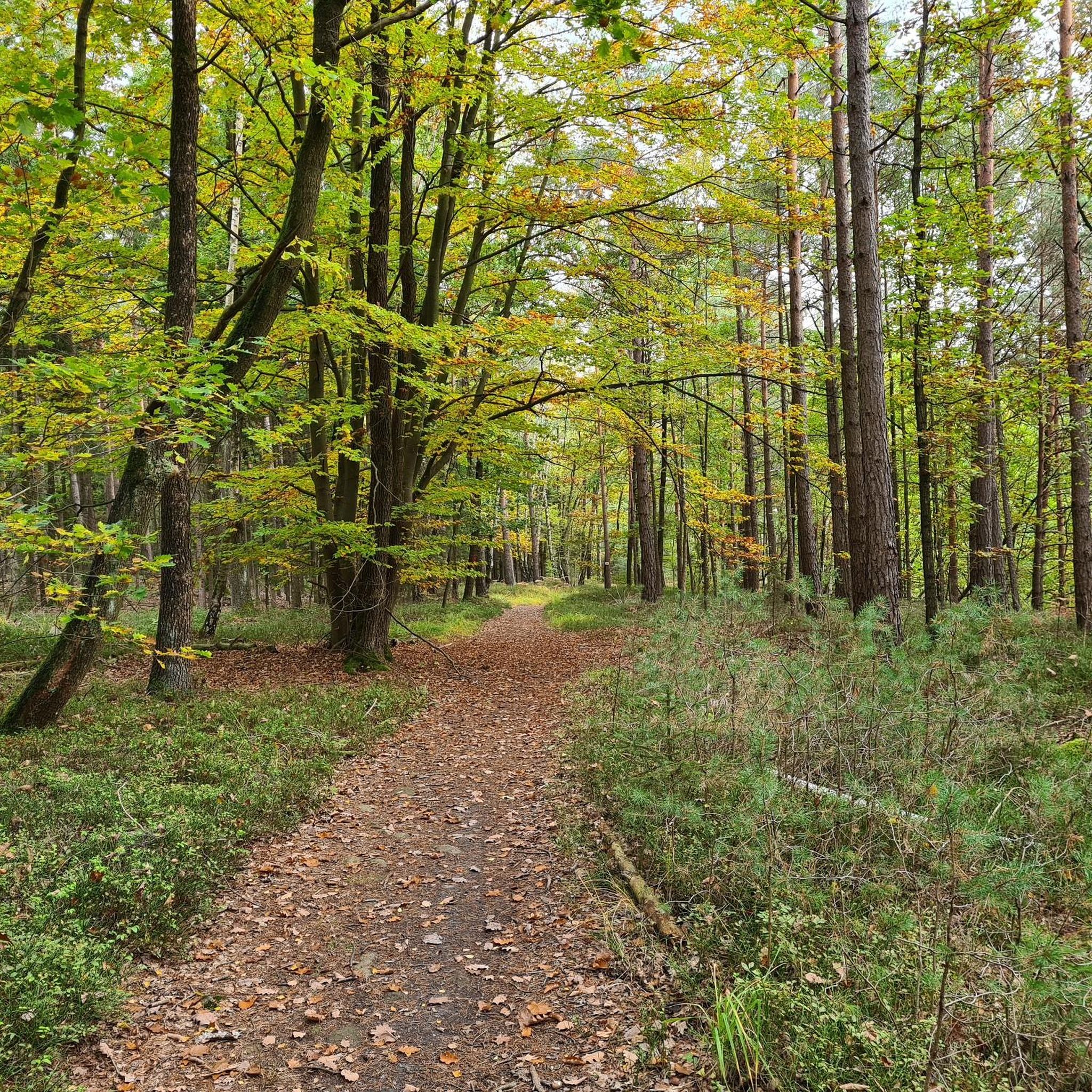
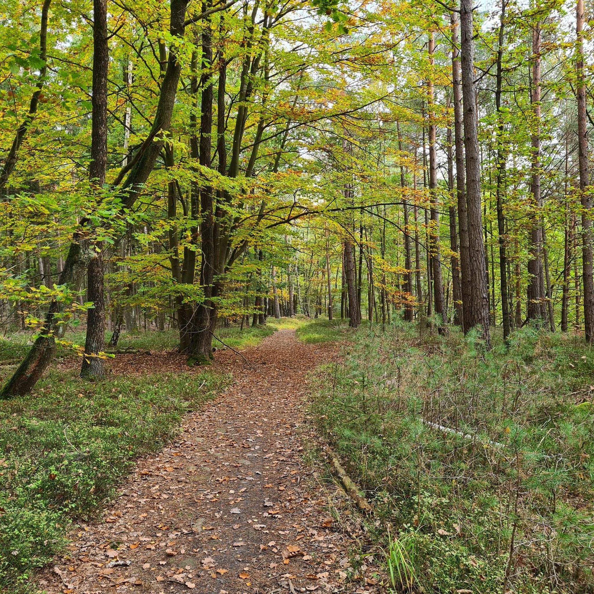
Road cycling routes in Bucher Forst traverse a diverse landscape of approximately 1,100 hectares, encompassing northern Berlin and Brandenburg. The area features mixed woodlands with mature beech and oak stands, alongside unique landscapes developed from former sewage-irrigation fields now transformed into meadows and semi-open forests. While largely flat, the combination of these environments provides varied terrain for road cyclists. The western part of Bucher Forst also includes several water bodies, such as the Bogensee.
Best road cycling routes in Bucher…
Last updated: September 30, 2026
5.0
(1)
30
riders
36.0km
01:41
340m
340m
Moderate road ride. Good fitness required. Some segments of this route may be unpaved and difficult to ride.
4.0
(1)
19
riders
38.0km
02:00
390m
390m
Moderate road ride. Good fitness required. Some segments of this route may be unpaved and difficult to ride.

15
riders
Moderate road ride. Good fitness required. Some segments of this route may be unpaved and difficult to ride.
8
riders
36.5km
01:40
300m
300m
Moderate road ride. Great for any fitness level. Some segments of this route may be unpaved and difficult to ride.
3.0
(2)
35
riders
31.2km
01:28
320m
320m
Moderate road ride. Good fitness required. Some segments of this route may be unpaved and difficult to ride.
Get access to more routes and recommendations from other explorers.
Already have an account?
Our route recommendations are based on thousands of hikes, rides, and runs completed by other people on komoot.
Start today with a free account
Your next adventure awaits.
Tips from the Community

Located right next to the Ehrenburg. Top cuisine with good portions. Reservation recommended
0
0

The ensemble within the 14th and 15th century fortification ring developed from the earliest mention of the present settlement around 800. The town parish church of St. Kilian was founded centrally within it even before 1007. In 1130, the settlement received market rights, a good 250 years later full jurisdiction. From 1422, the town's fortifications were built. In 1473, the town burned down, including the parish church and the town hall. In the Thirty Years' War, in 1684, almost the entire place fell prey to the flames again. The symbol of the subsequent reconstruction is the town hall from 1686/87. Of particular importance is the cohesive appearance of the buildings, which is shaped by the reconstruction after the town fire of 1684. These typically include two-storey front houses, often with gables facing the street, featuring decorative half-timbering on the upper floor. In addition to wall remnants, the Bamberger Torturm gate tower, dating back to the 16th century in its core, has been preserved from the town's fortifications.
7
0
With the opening of the Ludwig-Süd-Nord-Bahn on the Bamberg-Lichtenfels section, the Staffelstein station (since 2001: Bad Staffelstein station) was also put into operation on February 15, 1846. The station building, a sandstone block construction with a hipped roof, was designed by the architect Georg Friedrich Christian Bürklein from Central Franconia, who shortly thereafter gained great fame for the new Munich Central Station designed by him.
6
0

The route Lichtenfels Coburg is now closed and work is being carried out on the route in Creidlitz.
0
0
The reservoir is also very beautiful, but the bridge also comes out well.
0
0
The old town is always worth a visit.
0
0

The hospital church is the starting point of a historic Stations of the Cross dating from 1714. This leads from the city up to the famous pilgrimage church of Vierzehnheiligen with seven sandstone stations.
5
0
This castle also deserves attention.
2
0
Frequently Asked Questions
How many road cycling routes are available in Bucher Forst?
Bucher Forst offers a wide selection of road cycling routes, with over 690 tours available on komoot. These range from easy rides to more challenging distances, catering to various skill levels.
What is the typical terrain and elevation like for road cycling in Bucher Forst?
While much of Bucher Forst is relatively flat, the area features a varied terrain. You'll encounter diverse woodlands, meadows, and landscapes developed from former sewage-irrigation fields. Routes like the View of Banz Abbey – Main River at Hausen loop from Birkach am Forst include around 350 meters of elevation gain, offering a good mix of flat sections and gentle climbs.
Are there any family-friendly road cycling routes in Bucher Forst?
Yes, Bucher Forst has routes suitable for families. The extensive network of paths includes many easy options. For example, the 'Schönower Heide Entrance – Paved Forest Cycle Path' mentioned in the region research is an easy route suitable for any fitness level, providing a quiet ride through the forest.
What kind of natural features can I expect to see while cycling in Bucher Forst?
Bucher Forst is rich in natural diversity. You'll cycle through mixed woodlands with mature beech and oak stands, and unique areas that were once sewage-irrigation fields, now transformed into meadows and semi-open forests. The western part of the forest also features several water bodies, including the Bogensee, which has a boardwalk through its surrounding bog and wet woodland.
What are some interesting landmarks or attractions to see along the road cycling routes?
Cyclists can discover several points of interest. You might encounter natural monuments such as the Schifferbrunnen Spring or the Mönchsbrunnen. The region also features the Bismarck Tower Herberg. Routes like the Froschgrundsee Reservoir – ICE Froschgrundsee Viaduct loop from Birkach am Forst pass by impressive structures like the ICE Froschgrundsee Viaduct.
How accessible is Bucher Forst by public transport for cyclists?
Bucher Forst is easily accessible by public transport. The S-Bahn station Berlin-Buch provides a direct route into the forest, making it convenient for cyclists to reach various starting points without needing a car.
Are there good options for parking if I drive to Bucher Forst for cycling?
While specific dedicated cyclist parking areas are not detailed, the easy accessibility by public transport suggests that parking infrastructure is likely available near popular entry points to the forest. It's advisable to check local parking options near S-Bahn stations or trailheads.
What is the best time of year for road cycling in Bucher Forst?
The diverse woodlands and open landscapes of Bucher Forst make it enjoyable across multiple seasons. Spring and autumn offer pleasant temperatures and beautiful foliage, while summer provides shaded routes through the forest. Winter cycling is possible, but conditions may vary, so checking local weather is always recommended.
Can I find cafes or restaurants near the cycling routes in Bucher Forst?
While the guide doesn't list specific cafes or restaurants, the region research mentions that the 'Scenic Loop Ride: S Buch → Gorinsee → Schönwalde → S Buch' takes you towards the Gorinsee, a serene spot for a break, and then to the charming village of Schönwalde bei Wandlitz, where you would likely find local establishments for refreshments.
What do other road cyclists say about their experience in Bucher Forst?
The road cycling routes in Bucher Forst are highly rated by the komoot community, with an average score of 4.6 stars from over 600 reviews. Cyclists often praise the diverse woodlands, open meadows, and serene water bodies, as well as the extensive network of paths that cater to different ability levels.
Are there any long-distance cycling routes that pass through Bucher Forst?
Yes, Bucher Forst is part of a larger cycling network. The long-distance cycling path from Berlin to Usedom passes through Berlin-Buch, making the area a popular starting point for cyclists looking to embark on longer tours.
Are there any easy road cycling routes for beginners in Bucher Forst?
Absolutely. Bucher Forst offers a significant number of easy routes, with over 100 tours classified as easy on komoot. These routes are generally flat and provide a gentle introduction to road cycling in the area, such as the 'Schönower Heide Entrance – Paved Forest Cycle Path'.
Most popular routes in Bucher Forst
Most popular attractions in Bucher Forst

Get inspired with the komoot mobile app


Explore more
Browse the best Road cycling routes in other regions.
