The best road cycling routes in Rothenberg
4.7
(403)
3,601
riders
100
rides
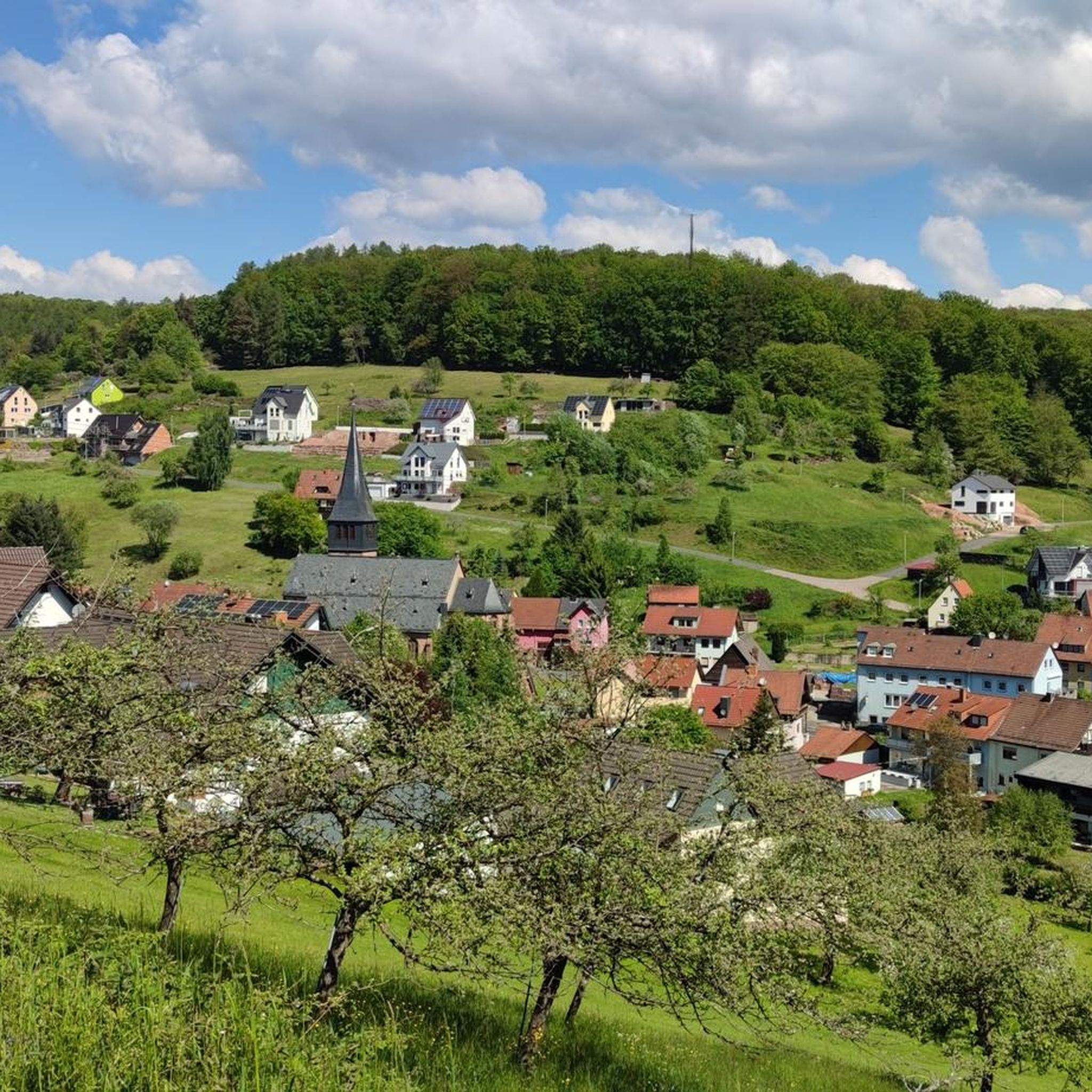
Road cycling in Rothenberg is characterized by its diverse terrain within the Main-Spessart region, featuring a mix of forests, river valleys, and gentle hills. The area offers a network of road cycling routes that cater to various fitness levels. Cyclists can expect paths that follow rivers, traverse woodlands, and provide views of the surrounding landscape. The elevation profiles vary, with some routes offering mostly flat sections and others including moderate climbs.
Best road cycling routes in Rothenberg
- The most popular…
Last updated: June 26, 2026
4.4
(29)
52
riders
Easy road ride. Great for any fitness level. Mostly well-paved surfaces and easy to ride.
4.7
(100)
402
riders
Moderate road ride. Good fitness required. Mostly well-paved surfaces and easy to ride.

Sign up for free
4.7
(7)
111
riders
Moderate road ride. Good fitness required. Mostly well-paved surfaces and easy to ride.
5.0
(5)
124
riders
Moderate road ride. Great for any fitness level. Some segments of this route may be unpaved and difficult to ride.
4.6
(17)
119
riders
62.3km
02:42
400m
400m
Moderate road ride. Good fitness required. Mostly well-paved surfaces and easy to ride.
Get access to more routes and recommendations from other explorers.
Sign up for free
Already have an account?
Our route recommendations are based on thousands of hikes, rides, and runs completed by other people on komoot.
Start today with a free account
Your next adventure awaits.
Login or Signup
Tips from the Community

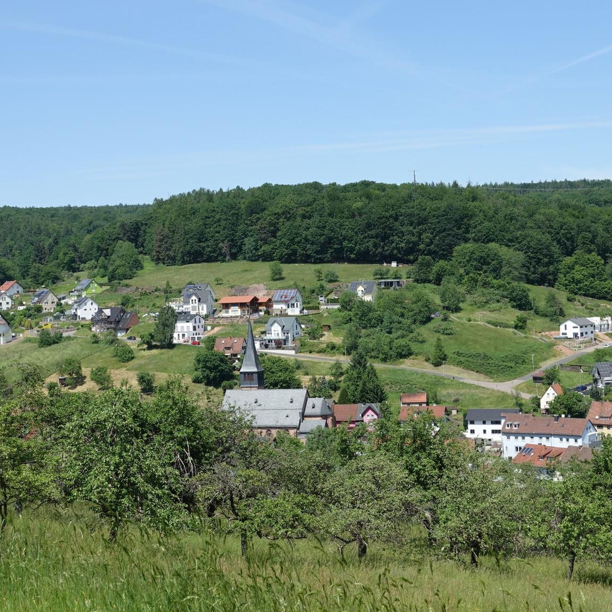
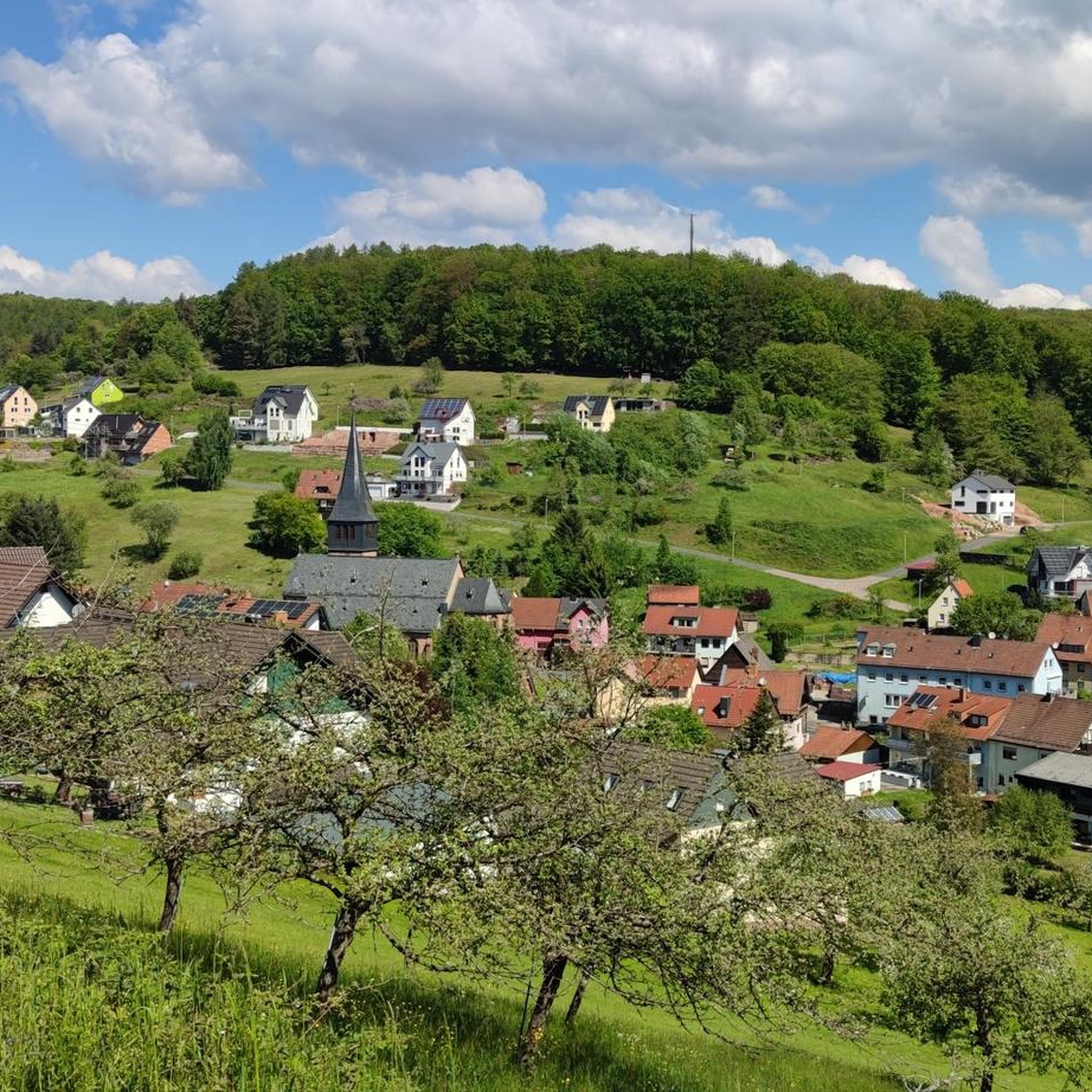
A shady spot for a cool break in summer with a magnificent view.
2
0

There is something special about enjoying a snack with a glass of wine in the picturesque old town below the Scherenburg castle.
0
0

View of the Scherenburg and Gemünden am Main
0
0
You then get a very good idea of how devastating some floods must have been....
2
0

It is easy to cross the Main here.
0
0

It's a bakery with a small café. Here you can still get authentic, artisanal baked goods—great.
2
0

Dam with power plant on the Main. It's possible to walk from one bank to the other. On the left side of the river, there's a special rail for pushing bicycles instead of lifting them.
0
0

The 50th parallel runs here. This is marked on the bike path. A bench has also been set up there, inviting you to take a short break with a view of the Main River. The 50th parallel is also marked on the bench itself.
0
0
Frequently Asked Questions
How many road cycling routes are available in the Rothenberg region?
The Rothenberg region offers over 100 road cycling routes. These routes cater to various fitness levels, with options ranging from easy riverside rides to more challenging tours with significant elevation changes.
What is the best time of year for road cycling in Rothenberg?
The most popular months for road cycling in the Rothenberg region are typically July and August. During this time, the weather is generally favorable for exploring the diverse landscapes.
What are the typical terrain characteristics for road cycling in the Rothenberg area?
The terrain around Rothenberg is quite varied, offering a mix of forests, fields, plains, and valleys. You'll find routes that follow picturesque river valleys like the Tauber, as well as more challenging sections with climbs, particularly within the Frankenhöhe Nature Park. Some paths are mostly flat, while others include moderate ascents.
Are there family-friendly road cycling routes in the Rothenberg region?
Yes, the region offers several family-friendly options. The 'Lovely Taubertal' Cycle Path, for instance, is mostly flat and well-developed, making it ideal for leisure cyclists and families. The Aischtal Cycle Path, connecting Rothenburg to Bamberg, is also noted for being extremely family-friendly with minimal altitude difference.
What kind of scenic viewpoints can I expect along the road cycling routes?
Road cycling routes in Rothenberg offer numerous scenic viewpoints. You can enjoy panoramic views over the picturesque Tauber Valley, especially from elevated areas within the Frankenhöhe Nature Park. Many routes also pass through charming villages and offer glimpses of historic sites and natural features like the Tauber River.
What landmarks or attractions can I see along the road cycling routes?
Along the road cycling routes, you can discover various landmarks and attractions. The region is dotted with historic sites, including medieval towns and castles like Schillingsfürst Castle. You might also encounter natural features such as the Double Bridge (Doppelbrücke) in the Tauber Valley or explore trails like the Descent to Lohr Trail or the Historic Boundary Stone 1683.
Are there challenging road cycling routes for experienced cyclists?
Yes, while many routes are accessible, some sections, particularly on the Frankenhöhe, can present more demanding climbs. For example, the Old Town of Gemünden am Main – Old Town of Lohr am Main loop from Lohr Bahnhof is a longer, moderate route with significant elevation gain, offering a good challenge.
What do other road cyclists enjoy most about road cycling in Rothenberg?
The Rothenberg region is highly rated by the komoot community, with an average score of 4.8 stars from over 350 reviews. Reviewers often praise the diverse terrain, the well-maintained paths, and the scenic beauty of the river valleys and forests, making it a dynamic environment for cyclists.
Are there circular road cycling routes available?
Yes, many routes in the Rothenberg area are designed as loops. For instance, the 'Radschmetterling' (Cycle Butterfly) is a network of four circular routes spanning Bavaria and Baden-Württemberg, offering diverse experiences across the Hohenlohe Plain and Frankenhöhe. An example of a local loop is the View of Neustadt am Main Abbey – Old Main Bridge Lohr loop from Lohr am Main.
Can I find easy road cycling routes in Rothenberg?
Absolutely. The region offers several easy road cycling routes, often following river valleys with minimal elevation gain. A good example is the View of Neustadt am Main Abbey – Old Main Bridge Lohr loop from Lohr am Main, which is an easy route suitable for leisure rides.
Are there options for longer road cycling tours in the region?
Yes, the Rothenberg region is a starting point for several long-distance cycle paths. The Altmühltal Cycle Path stretches over 200 kilometers, and the Romantic Road Cycle Path covers approximately 320 kilometers, offering extensive touring opportunities through varied landscapes and historic towns.
What kind of natural features can I expect to see along the routes?
The routes showcase a rich natural environment. You'll encounter the picturesque Tauber River, which many paths follow, and pass through the Frankenhöhe Nature Park with its diverse terrain, including forests and elevated areas. The Altmühltal Cycle Path also features impressive rock formations, juniper heaths, and lush meadows.
Most popular routes in Rothenberg
Most popular attractions in Rothenberg

Get inspired with the komoot mobile app


Explore more
Browse the best Road cycling routes in other regions.
