Bürgerwald / Hohenwart
Bürgerwald / Hohenwart
The best walks and hikes in Bürgerwald / Hohenwart
4.5
(1991)
7,585
hikers
494
hikes
Hiking in Bürgerwald / Hohenwart, located in Landkreis Bayreuth, features a landscape dominated by dense forests and diverse trails. The region is characterized by its natural environment, with the Craimoosweiher Lake serving as a prominent natural feature and focal point for several routes. Trails range from easy paths to more challenging excursions, accommodating various fitness levels.
Best hiking trails in Bürgerwald / Hohenwart
- The most popular hiking route is Craimoosweiher Lake loop from Schnabelwaid, a 1.6 miles (2.6 km)…
Last updated: May 22, 2026
4.4
(8)
54
hikers
2.61km
00:41
20m
20m
Easy hike. Great for any fitness level. Easily-accessible paths. Suitable for all skill levels.
4.4
(7)
22
hikers
12.0km
03:10
120m
120m
Moderate hike. Good fitness required. Easily-accessible paths. Suitable for all skill levels.

Sign up for free
5.0
(2)
18
hikers
4.42km
01:11
50m
60m
Easy hike. Great for any fitness level. Easily-accessible paths. Suitable for all skill levels.
4.3
(7)
43
hikers
5.75km
01:33
70m
70m
Easy hike. Great for any fitness level. Easily-accessible paths. Suitable for all skill levels.
3.5
(4)
12
hikers
5.19km
01:23
50m
50m
Easy hike. Great for any fitness level. Easily-accessible paths. Suitable for all skill levels.
Get access to more routes and recommendations from other explorers.
Sign up for free
Already have an account?
Our route recommendations are based on thousands of hikes, rides, and runs completed by other people on komoot.
Start today with a free account
Your next adventure awaits.
Login or Signup

Tips from the Community

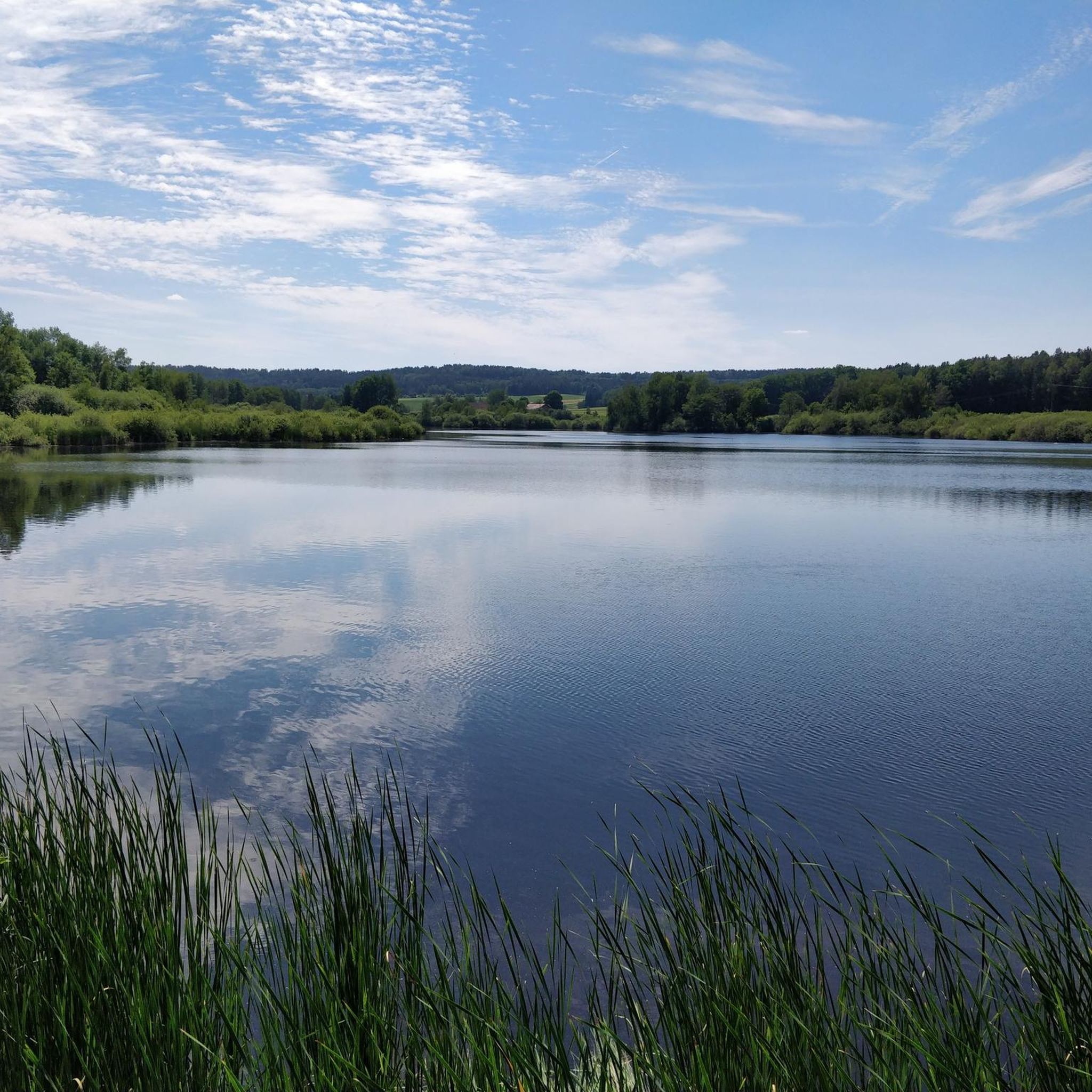
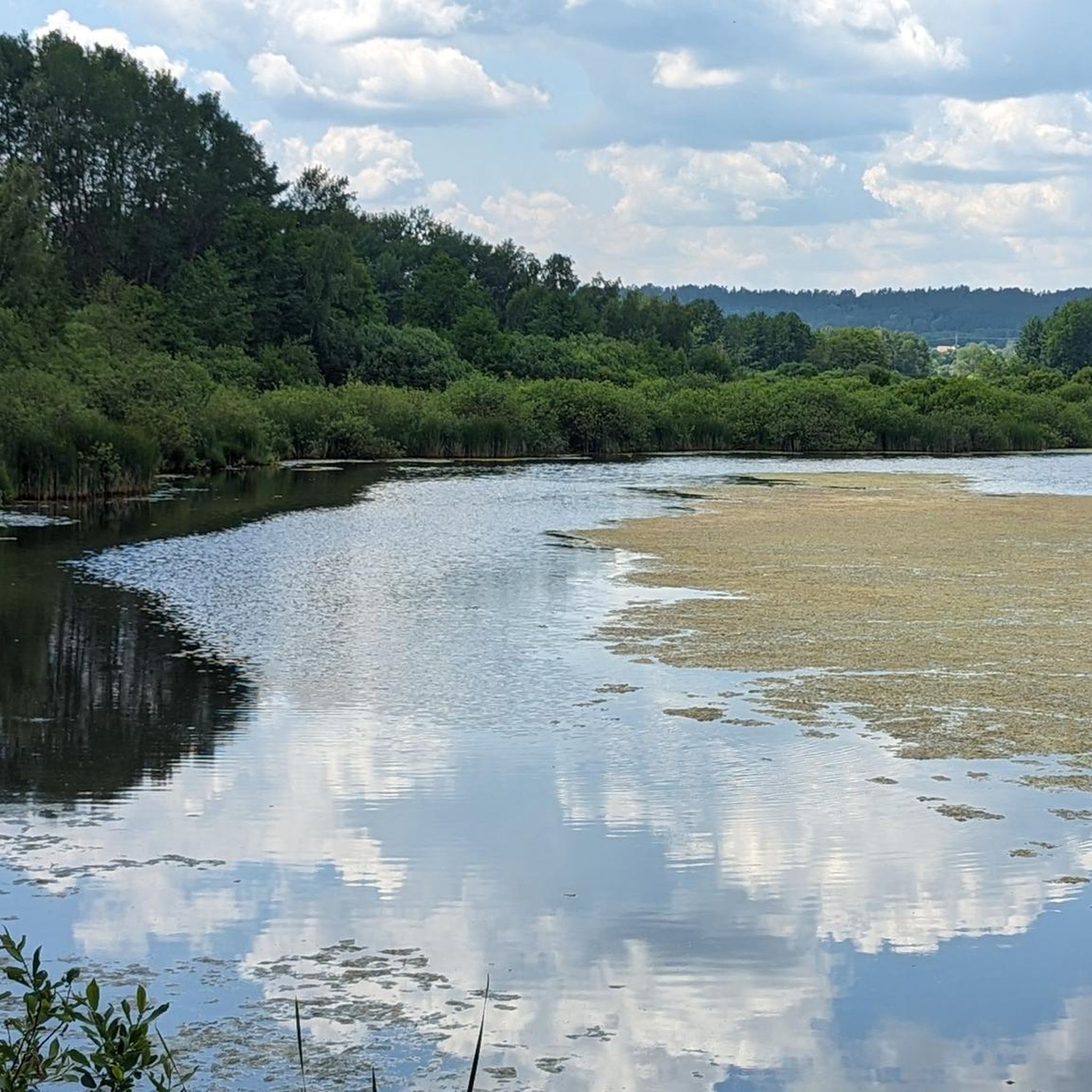
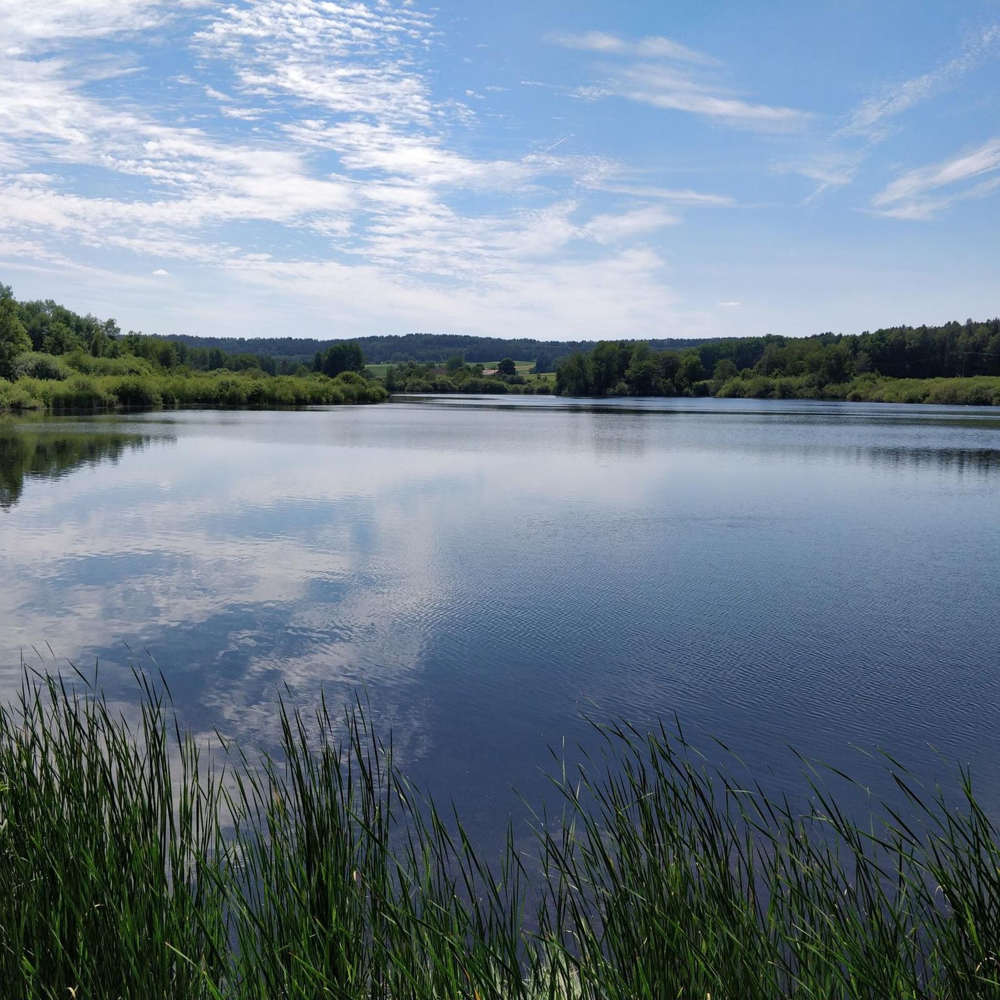
Beautiful viewpoint over the Craimoosweiher and also a good shelter in case of rain.
0
0

Beautiful gate complex in the north of the city;
0
0

A great, renovated gate of the city fortifications of Creußen.
0
0

At the cycle path underpass through the federal highway, a small, mostly gravel path branches off to the bird watching station at Craimoosweiher, about 150 m away. From there you can see almost the entire pond and watch the birds. It is particularly beautiful at sunset when the setting sun is reflected in the water.
1
0

Sunny and calm
0
0

Very good information about different phenomena.
1
0
This is a Lost Places highlight in Upper Franconia.
1
0
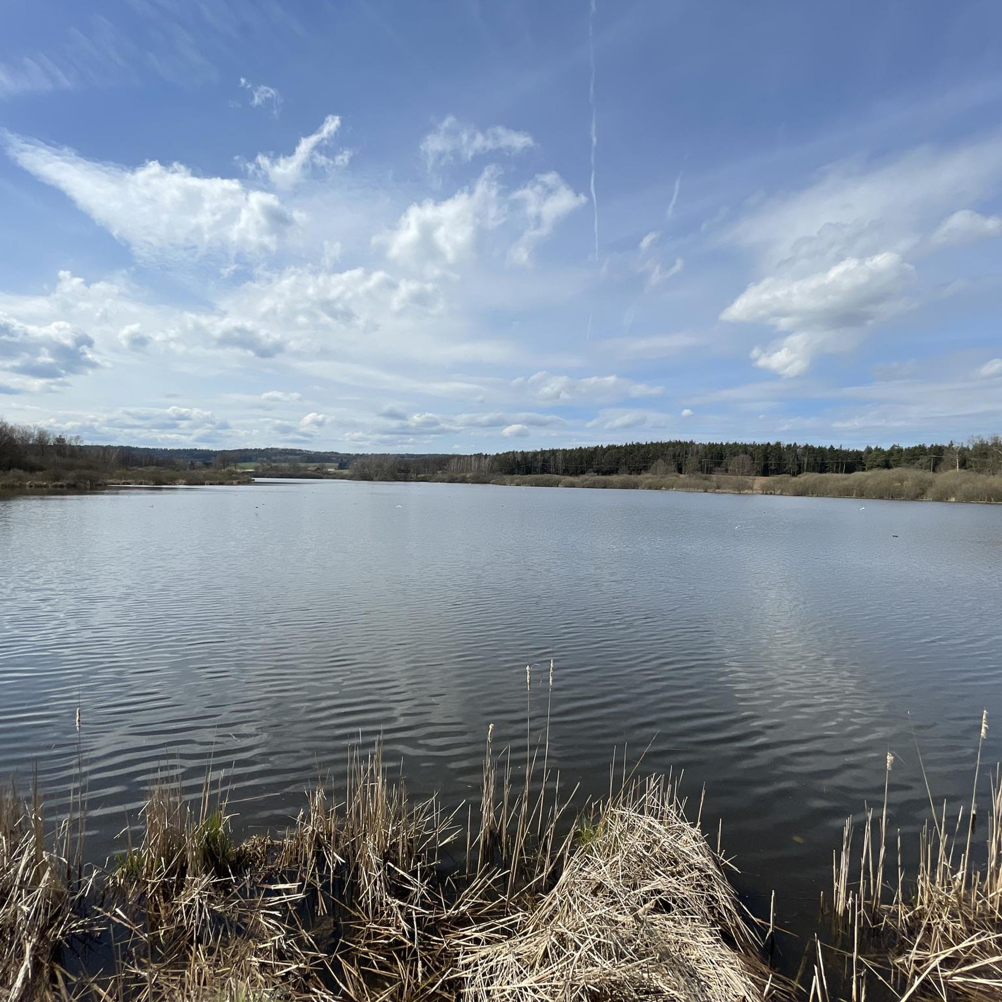
Cold, windy, pure nature experience. Very good bird watching station with armrests and perch.
1
0
Frequently Asked Questions
How many hiking trails are available in Bürgerwald / Hohenwart?
Bürgerwald / Hohenwart offers a wide variety of hiking experiences, with over 500 routes available. These trails cater to all levels, including over 260 easy routes, 220 moderate options, and 19 more challenging excursions.
What kind of terrain can I expect on the hiking trails in Bürgerwald / Hohenwart?
The region is characterized by dense forests and diverse natural landscapes. You'll primarily encounter forest paths, with some routes circling the prominent Craimoosweiher Lake. The terrain varies from relatively flat, easy paths to more undulating sections requiring good fitness, especially on longer routes.
Are there any circular hiking routes in Bürgerwald / Hohenwart?
Yes, many of the trails in Bürgerwald / Hohenwart are circular, offering convenient loop experiences. For example, the easy Craimoosweiher Lake loop from Schnabelwaid is a popular choice, as is the more challenging Craimoosweiher Lake – Rear Gate, Creußen loop from Creußen.
What are some family-friendly hiking options in Bürgerwald / Hohenwart?
For families, the easy trails around Craimoosweiher Lake are ideal. The Craimoosweiher Lake loop from Schnabelwaid is short and accessible for all ages. Another good option is the Bühl Castle loop from Creußen, which offers a pleasant walk through the forest.
Are dogs allowed on the hiking trails in Bürgerwald / Hohenwart?
Generally, dogs are welcome on the hiking trails in Bürgerwald / Hohenwart. It's always recommended to keep your dog on a leash, especially in nature protection areas or near wildlife. Please ensure you clean up after your pet to maintain the natural beauty of the area.
What interesting sights or landmarks can I see along the trails?
The region offers several points of interest. The Bird Observation Tower at Craimoosweiher is a notable spot for wildlife enthusiasts, particularly birdwatchers. Additionally, the Bühl Castle loop from Creußen passes by historical points of interest, and the Christ the King Chapel Neuhaidhof is another landmark worth noting.
What is the best time of year to go hiking in Bürgerwald / Hohenwart?
Bürgerwald / Hohenwart is beautiful year-round. Spring brings lush greenery and blooming flora, while autumn offers vibrant fall colors. Summer is excellent for longer hikes, and even winter can be magical for a crisp walk, though some paths might be slippery. Always check local weather conditions before heading out.
How long do hikes in Bürgerwald / Hohenwart typically take?
Hike durations vary significantly depending on the route and your pace. Shorter, easy loops like the Craimoosweiher Lake loop from Schnabelwaid can be completed in under an hour. Longer, moderate trails such as the Craimoosweiher Lake – Rear Gate, Creußen loop from Creußen can take over three hours.
Is there parking available near the trailheads?
Yes, many trailheads and popular starting points in Bürgerwald / Hohenwart, especially around towns like Schnabelwaid and Creußen, offer designated parking areas for hikers. It's advisable to check specific route details on komoot for parking information related to your chosen trail.
What do other hikers enjoy most about Bürgerwald / Hohenwart?
The area is highly rated by the komoot community, with an average score of 4.5 stars from over 1,800 reviews. Hikers frequently praise the peaceful atmosphere of the dense forests, the scenic beauty of Craimoosweiher Lake, and the well-maintained, diverse network of trails suitable for various fitness levels.
Are there any easy hiking trails suitable for beginners?
Absolutely. Bürgerwald / Hohenwart has over 260 easy routes perfect for beginners or those looking for a relaxed stroll. The Hiking loop from Schnabelwaid and the Bühl Castle – Upper Rotmain Valley Nature Trail loop from Creußen are both excellent easy options that allow you to enjoy the forest without significant elevation changes.
Most popular routes in Bürgerwald / Hohenwart
Most popular attractions in Bürgerwald / Hohenwart

Get inspired with the komoot mobile app


Explore more
Browse the best Hikes in other regions.
