The best MTB trails in Grafenbucher Forst
4.5
(583)
2,413
riders
267
rides
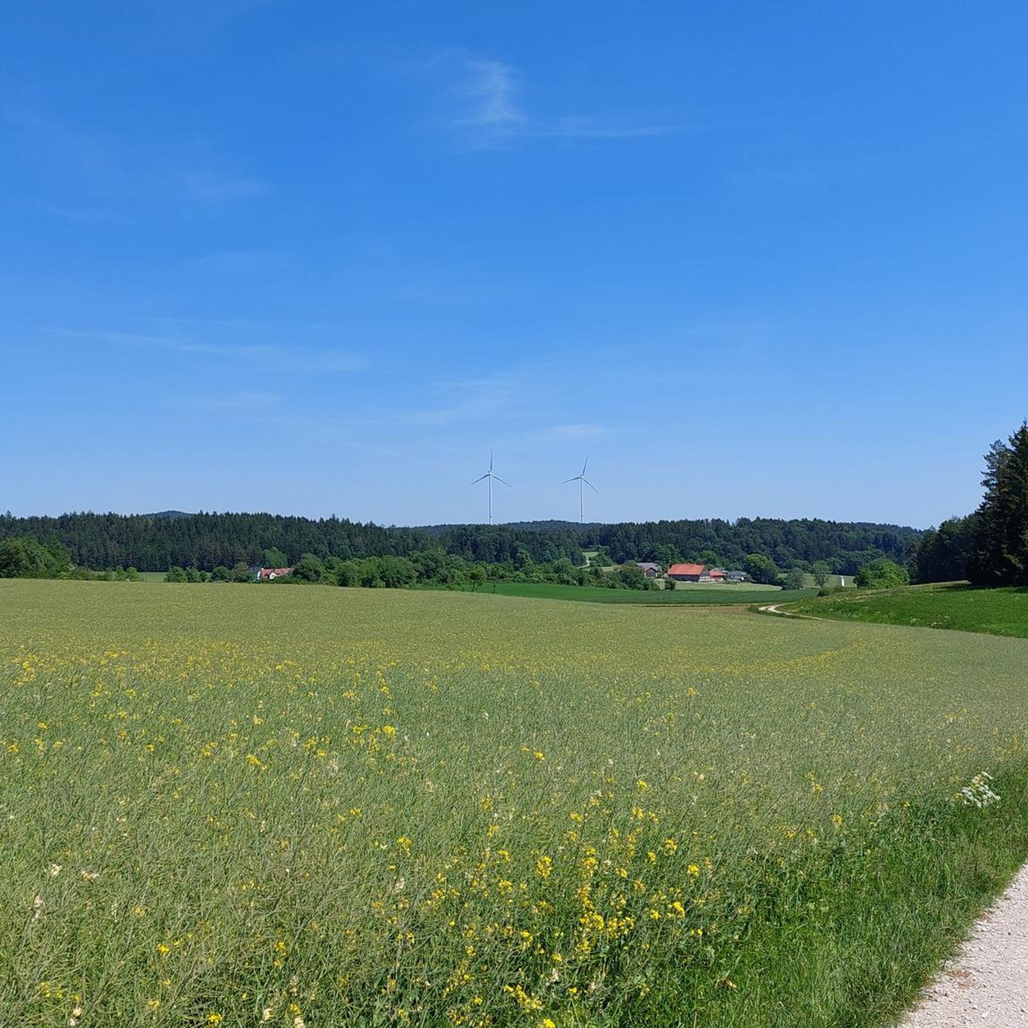
Mountain biking in Grafenbucher Forst offers diverse trails within a predominantly forest environment in the district of Neumarkt in der Oberpfalz, Germany. The region is characterized by its extensive woodlands, providing a scenic backdrop for various outdoor pursuits. Trails often pass by natural features such as the Hüllweiher Waller, a small pond, and the Rinntal Nature Reserve, offering varied terrain for cyclists. The area provides a range of routes suitable for different skill levels, from leisurely rides to more challenging…
Last updated: October 1, 2026
3.0
(2)
16
riders
45.1km
03:48
680m
680m
Moderate mountain bike ride. Good fitness required. Advanced riding skills necessary.
5.0
(1)
7
riders
26.5km
02:29
580m
580m
Hard mountain bike ride. Good fitness required. Advanced riding skills necessary. Some portions of the route may require you to push your bike.

Moderate mountain bike ride. Great for any fitness level. Advanced riding skills necessary.
5.0
(6)
3
riders
14.2km
01:19
280m
280m
Moderate mountain bike ride. Great for any fitness level. Advanced riding skills necessary.
5.0
(1)
3
riders
20.6km
01:49
380m
380m
Hard mountain bike ride. Good fitness required. Advanced riding skills necessary. Some portions of the route may require you to push your bike.
Get access to more routes and recommendations from other explorers.
Already have an account?
Our route recommendations are based on thousands of hikes, rides, and runs completed by other people on komoot.
Start today with a free account
Your next adventure awaits.
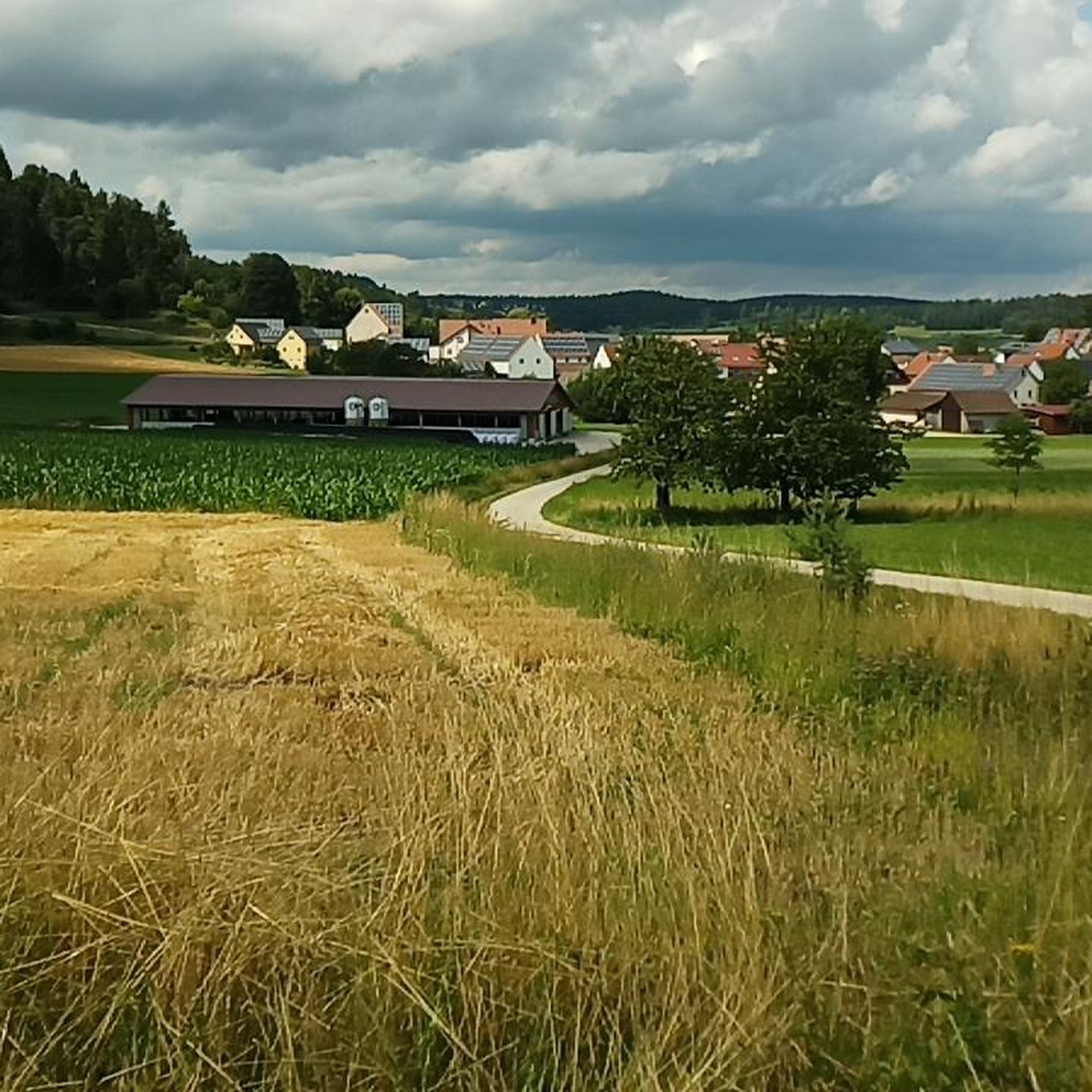
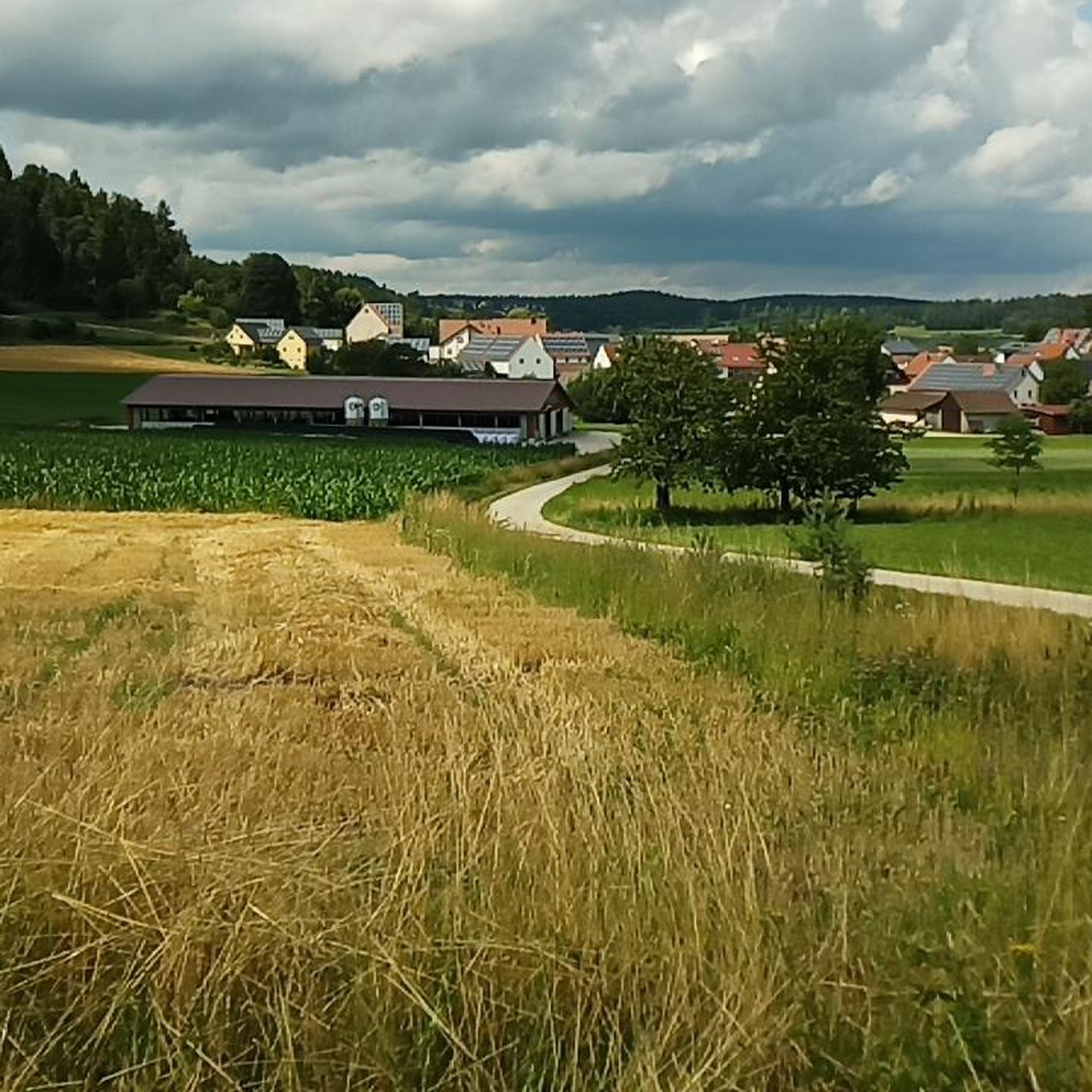
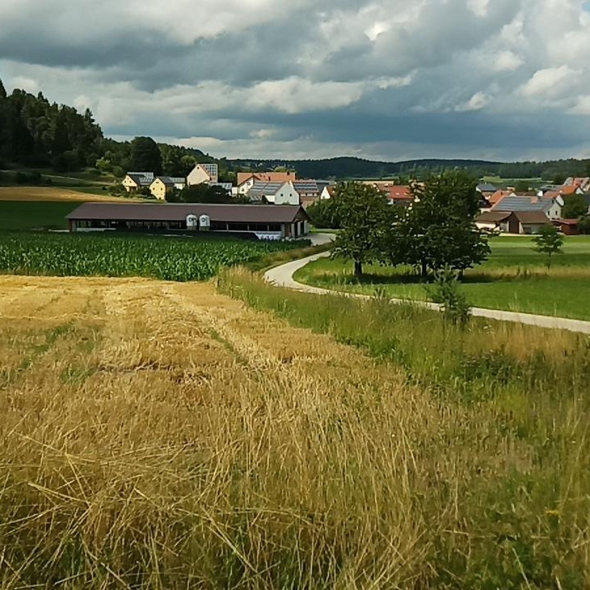
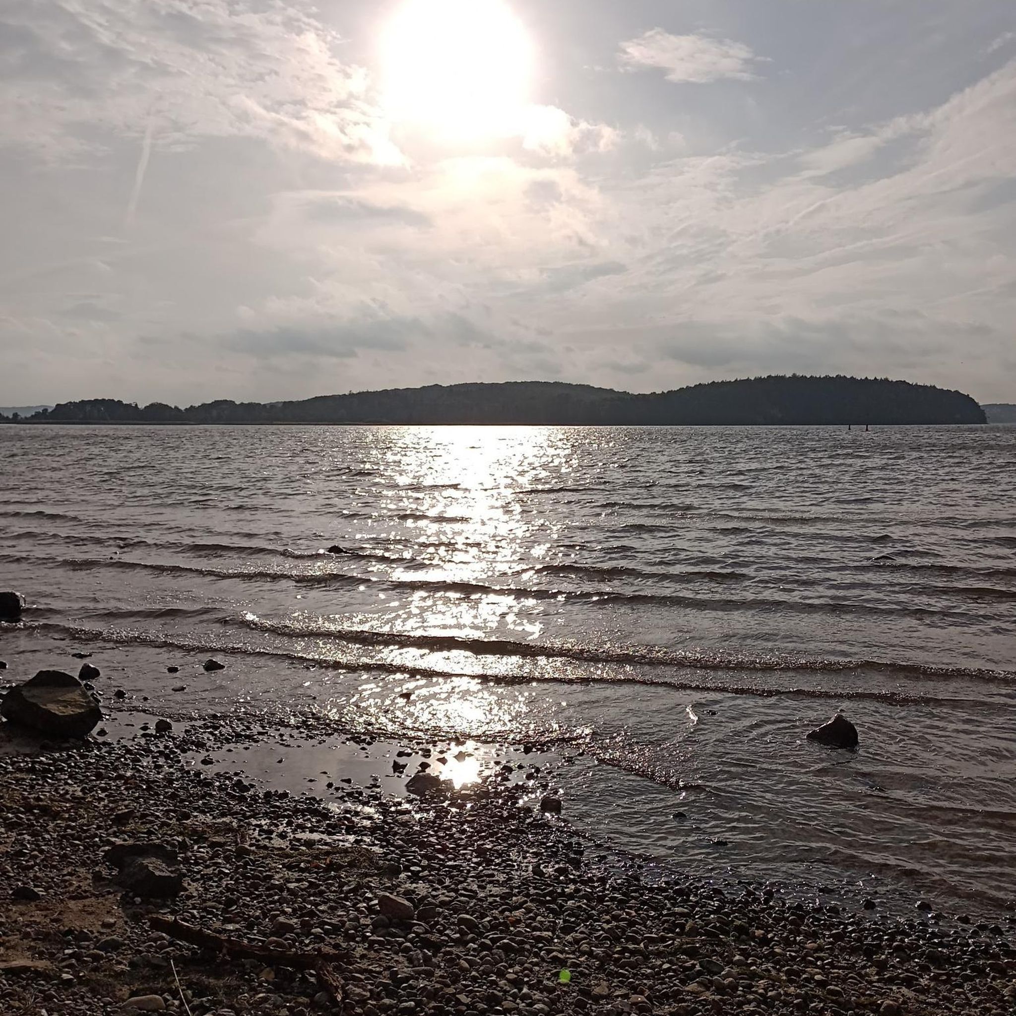
Tips from the Community

Schloß Oberrohrenstadt In Rohrenstadt, divided into Unter-, Mittel-, and Oberrohrenstadt, was the seat of the Rohrenstädter family, who held it as a fief from Kastl Monastery. In 1293, the brothers Heinrich and Marquard are mentioned as "brueder von Rornstat" as witnesses for Gebhard von Hirschberg. During the War of the Bavarian Succession, the seat of the Rohrenstädter family, Rackelburg, was destroyed in 1504 by the people of Nuremberg under Georg von Rohrenstadt and subsequently came under the rule of the Palatinate. In 1522, the Bavarian Count Palatine Ludwig took all Rohrenstadt possessions for himself and placed them under the administration of the Haimburg district office. In the 16th century, the seat was moved to the moated castle built in Oberrohrenstadt. Today, it is a three-story, gable-end Weiherhaus with a late Gothic stepped gable, which was originally surrounded by moats. The wood used for construction was dated to 1495 based on dendrological studies, and the renovation to 1719. The castle was redesigned in 1804 and renovated in 1955 and 1990. In 2011, grants were approved by the Bavarian State Foundation for the exterior renovation of the castle. Source: Excerpts from www.wikipedia.de
3
0

Large inn. The large menu was also available on Saturday. We were served quickly and deliciously.
0
0

Alfeld is very nicely located.. visit the church.. don't just walk past.
0
0

Am Bräunertshof - Small Animal Zoo and Cafe
0
0

A beautiful forest path. Nothing more. Easy to ride in both directions.
0
0
Very nice path with a view of the radio tower
0
0

In addition to farm eggs, you can also buy cream cheese, pasta and decorative egg cups here.
17
0
The isolated area is located about three and a half kilometers from the outskirts of Alfeld on State Road 2236. The Mühlbach, a tributary of the Happurger Bach, flows past. About a hundred meters south lies the Regelsmühle (mill).
13
0
Frequently Asked Questions
How many mountain bike trails are available in Grafenbucher Forst?
Grafenbucher Forst offers a wide selection of mountain bike trails, with over 280 routes documented on komoot. These range from easy rides to more challenging excursions, catering to various skill levels.
What kind of terrain can I expect on mountain bike trails in Grafenbucher Forst?
The terrain in Grafenbucher Forst is predominantly forest, characterized by extensive woodlands. You'll find varied paths, often passing by natural features like small ponds such as the Hüllweiher Waller and protected areas like the Rinntal Nature Reserve. Some routes, like the Poppberg Castle Ruins – Poppberg Castle Trail loop from Reitelshofen, feature significant elevation gain through varied forest terrain.
Are there easy mountain bike trails suitable for beginners in Grafenbucher Forst?
Yes, Grafenbucher Forst has 46 easy mountain bike trails. These routes are generally less demanding, often with minimal inclines or declines, making them suitable for beginners or those looking for a leisurely ride. The Windradl-Weg Waller is described as very pleasant to ride with minimal elevation changes.
What are some interesting landmarks or points of interest along the mountain bike trails?
Along the trails, you can discover several points of interest. The Hüllweiher Waller is a beautiful small pond with information panels explaining its origin. You might also encounter the WWW – Windradl Trail Waller, which passes by a wind energy plant. Other notable spots include the Grafenbuch Forester's Lodge and the Memorial Cross in Grafenbucher Forst.
Are there any circular mountain bike routes in Grafenbucher Forst?
Yes, many mountain bike routes in Grafenbucher Forst are designed as loops. For example, the moderate Poppberg Castle Ruins – Luderfelsen near Oberried loop from Reitelshofen is a 45.1 km trail, and the Luderfelsen near Oberried – Rohrenstädter Bach Trail loop from Pettenhofen is a 21.6 km moderate loop. These circular routes allow you to start and end at the same point.
What do other mountain bikers enjoy most about Grafenbucher Forst?
The area is highly rated by the komoot community, with an average score of 4.6 stars from over 570 reviews. Reviewers often praise the diverse trails, the serene forest environment, and the opportunities to explore natural features like the Hüllweiher Waller.
Are there any challenging mountain bike trails for advanced riders?
Yes, Grafenbucher Forst offers 39 difficult mountain bike trails for advanced riders. An example is the Poppberg Castle Ruins – Poppberg Castle Trail loop from Reitelshofen, a 26.5 km path with significant elevation gain through varied forest terrain, designed for experienced mountain bikers.
What is the typical duration of mountain bike trails in Grafenbucher Forst?
The duration of trails varies significantly depending on their length and difficulty. For instance, a moderate route like the Poppberg Castle Ruins – Poppberg Castle Trail loop from Alfeld, which is 28.9 km long, typically takes around 2 hours 19 minutes. Shorter, moderate trails like the Luderfelsen near Oberried – Rohrenstädter Bach Trail loop from Pettenhofen can be completed in about 1 hour 36 minutes.
Can I find family-friendly mountain bike routes in Grafenbucher Forst?
While specific family-friendly mountain bike routes are not explicitly detailed, the region offers 46 easy trails that are generally suitable for various users, including families. These routes often feature minimal inclines and declines, providing a more relaxed riding experience. Look for routes described as easy or those passing by accessible attractions like the Hüllweiher Waller.
Are there any mountain bike trails that pass by historical sites?
Yes, some trails incorporate historical elements. For example, the Anton-Leidiger-Weg Trail – Poppberg Castle Ruins loop from Alfeld includes the Poppberg Castle Ruins, offering a blend of natural beauty and historical exploration during your ride.
What are the best times of year to go mountain biking in Grafenbucher Forst?
Grafenbucher Forst is ideal for mountain biking during spring, summer, and autumn when the weather is generally mild and the forest is vibrant. The 'vividly green trees' and 'burbling creeks' are particularly appealing during these seasons. Winter conditions might make some trails challenging due to snow or ice, so it's best to check local conditions.
Most popular routes in Grafenbucher Forst
Most popular attractions in Grafenbucher Forst

Get inspired with the komoot mobile app


Explore more
Browse the best MTB trails in other regions.
