The best walks and hikes in Stanglettenschütt
4.4
(3253)
22,031
hikers
51
hikes
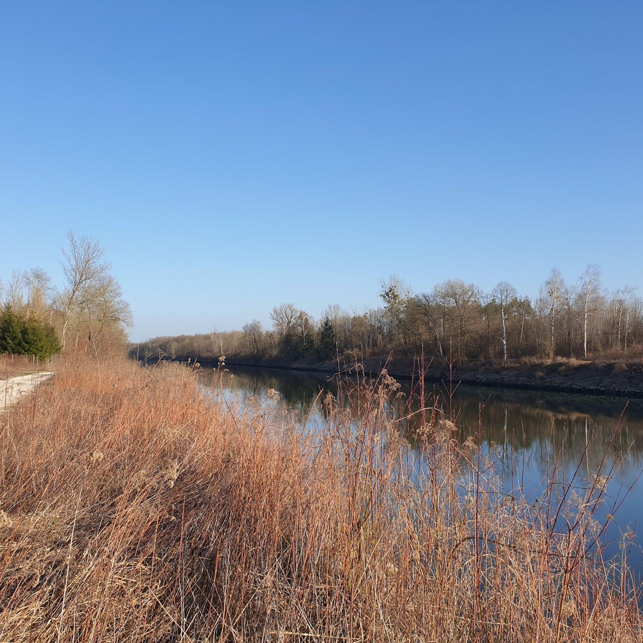
Hiking in Stanglettenschütt offers a diverse natural landscape characterized by the extensive Danube floodplains, known as the Donauaue. This region features the largest contiguous alluvial forest in Central Europe, providing a rich habitat for various plant and animal species. Natural monuments, such as ancient black poplars and the Jackl-Brenne Biotope with its hidden flowing water systems, contribute to the area's unique ecological profile. The terrain is generally flat, typical of riverine environments, making it accessible for various hiking abilities.
Best…
Last updated: October 8, 2026
4.6
(70)
212
hikers
8.05km
02:02
20m
20m
Moderate hike. Good fitness required. Easily-accessible paths. Suitable for all skill levels.
4.1
(10)
57
hikers
Moderate hike. Good fitness required. Easily-accessible paths. Suitable for all skill levels.

4.2
(9)
52
hikers
Easy hike. Great for any fitness level. Easily-accessible paths. Suitable for all skill levels.
4.0
(6)
49
hikers
Easy hike. Great for any fitness level. Easily-accessible paths. Suitable for all skill levels.
4.4
(17)
60
hikers
6.80km
01:44
20m
20m
Easy hike. Great for any fitness level. Easily-accessible paths. Suitable for all skill levels.
Get access to more routes and recommendations from other explorers.
Already have an account?
Our route recommendations are based on thousands of hikes, rides, and runs completed by other people on komoot.
Start today with a free account
Your next adventure awaits.
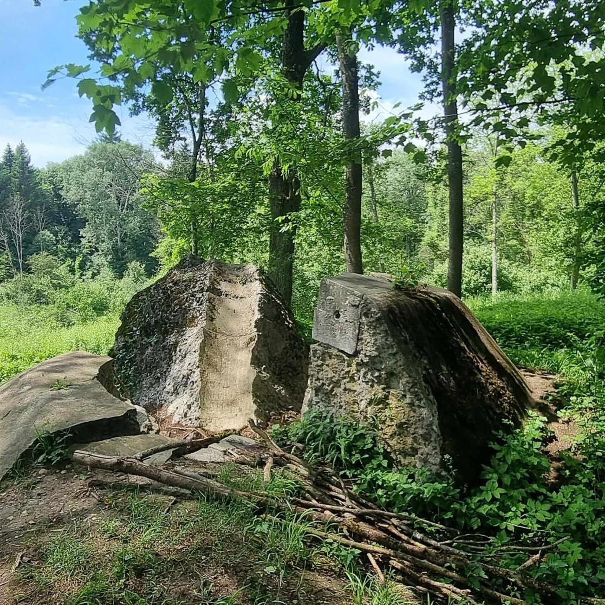
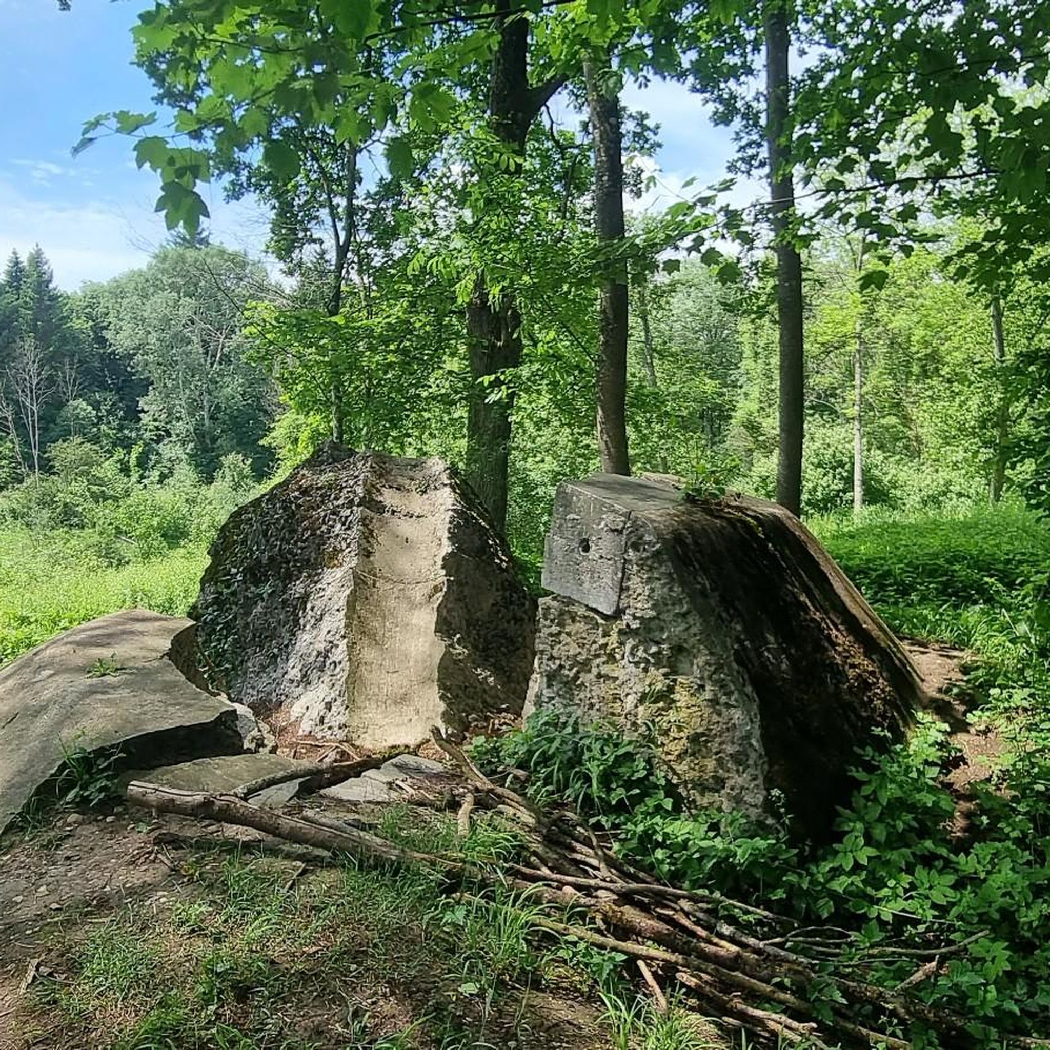
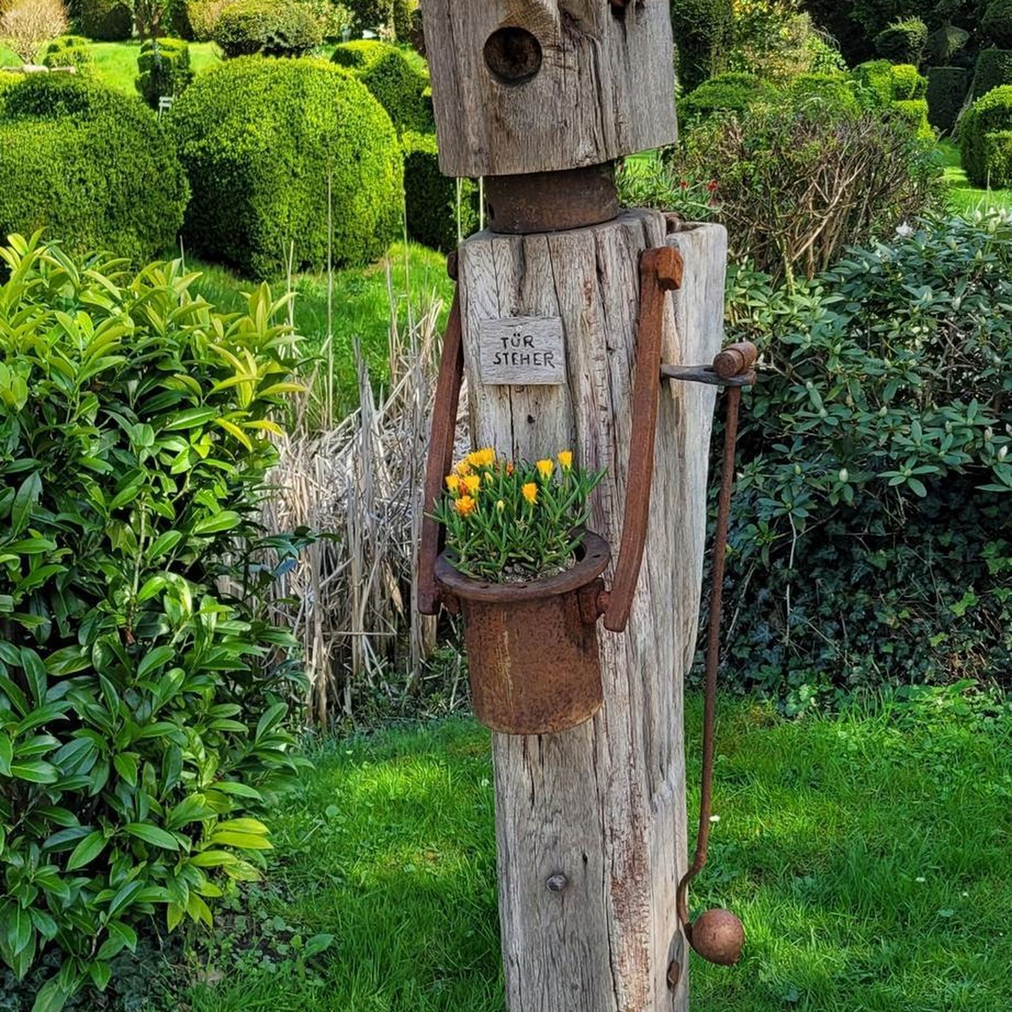
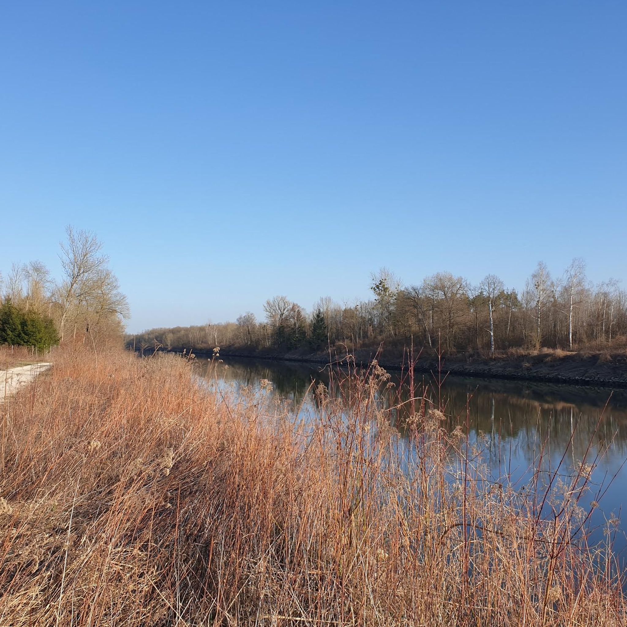
Tips from the Community

Bridge unfortunately no longer exists
1
0

Here you can get game from the vending machine... delicious, delicious
0
0
Just tried it out... the ink pad works
0
0
Yes, here a view in all directions is a pleasure
0
0

The bridge no longer exists
1
0


Frequently Asked Questions
How many hiking trails are available in Stanglettenschütt?
Stanglettenschütt offers a wide selection of hiking opportunities, with over 50 routes available for exploration. These range from easy strolls to more moderate excursions, catering to various fitness levels.
What makes the hiking experience in Stanglettenschütt unique?
The region is defined by its extensive Danube floodplains, known as the Donauaue, which host the largest contiguous alluvial forest in Central Europe. Hikers can experience a rich ecological profile, including natural monuments like ancient black poplars and the Jackl-Brenne Biotope, a thriving habitat for beavers within a hidden flowing water system.
Are there easy, family-friendly hikes in Stanglettenschütt?
Yes, Stanglettenschütt is very suitable for families, with 35 out of 50 routes classified as easy. Many trails feature flat terrain, typical of riverine environments. An excellent option is the View of the Danube – View of the lake loop from Bergheim, an easy 4.2-mile (6.7 km) path offering scenic views.
Can I bring my dog on the hiking trails in Stanglettenschütt?
While specific dog regulations can vary, the natural landscape of Stanglettenschütt, with its extensive floodplains and forests, generally welcomes dogs. It's always recommended to keep dogs on a leash, especially in areas with wildlife like the Jackl-Brenne Biotope, which is a paradise for beavers. Always check local signage for any specific restrictions.
Are there circular walks available in Stanglettenschütt?
Yes, many of the trails in Stanglettenschütt are designed as circular routes, allowing you to start and end at the same point. For example, the View of the lake – Grünau Hunting Lodge loop from Herrenwörth is a moderate 5.1-mile (8.3 km) loop that offers diverse scenery.
What natural sights can I expect to see while hiking?
Hikers can discover several natural monuments and unique ecosystems. Look out for the impressive Old black poplar, a gnarled ancient tree, and the Jackl-Brenne Biotope, a hidden flowing water system. The Danube Floodplain Forest itself is a significant natural feature, being the largest contiguous alluvial forest in Central Europe.
Are there any historical landmarks or points of interest along the trails?
Yes, you can encounter interesting landmarks. The Grünau Hunting Lodge is a notable historical building that some routes pass by. Additionally, within the floodplains, you might spot the Danube Flood Marker in the Riparian Forest, a reminder of the river's powerful history.
What do other hikers enjoy most about the trails in Stanglettenschütt?
The trails in Stanglettenschütt are highly regarded by the komoot community, boasting an average rating of 4.3 stars from over 170 reviews. Hikers frequently praise the diverse natural landscape, particularly the tranquil Danube floodplains and the unique alluvial forest. The accessibility of the trails for various abilities is also a common highlight.
What is the typical length and duration of hikes in Stanglettenschütt?
Most hikes in Stanglettenschütt are between 4 to 5 miles (6 to 8 km) in length, making them suitable for half-day excursions. For instance, the Lake in the Auwald Forest – View of the lake loop from Rohrenfeld is a 4.3-mile (7.0 km) trail that typically takes about 1 hour 46 minutes to complete.
Is public transport available to reach the hiking areas in Stanglettenschütt?
While Stanglettenschütt is primarily accessed by car, some areas might be reachable via regional bus services from nearby towns like Ingolstadt. However, direct public transport links to specific trailheads within the floodplains can be limited. Planning your route in advance and checking local transport schedules is advisable.
Where can I find parking for the hiking trails?
Parking is generally available at common starting points for the trails, particularly near villages or designated recreational areas bordering the Donauaue. For routes like the Grünau Hunting Lodge – View of the lake loop from Rohrenfeld, you can often find parking in or around Rohrenfeld or other nearby access points.
What is the best time of year to hike in Stanglettenschütt?
Stanglettenschütt offers enjoyable hiking experiences throughout much of the year. Spring and autumn are particularly pleasant, with mild temperatures and beautiful foliage in the alluvial forest. Summer provides lush greenery, while winter can offer a unique, serene landscape, though some paths might be muddy or icy. Always check local weather conditions before heading out.
Most popular routes in Stanglettenschütt
Most popular attractions in Stanglettenschütt

Get inspired with the komoot mobile app


