The best road cycling routes in Spitalwald
4.6
(858)
11,874
riders
201
rides
Road cycling routes in Spitalwald offer a natural setting for outdoor activities, characterized by designated routes often on paved surfaces. The area, situated around Göppingen, provides suitable terrain for road cycling, with routes that can lead past notable features such as the 300-year-old Old Oak Tree near Neuhausen. Road cyclists can also find serene environments, including the idyllic Großer Hieslinger Weiher.
Best road cycling routes in Spitalwald
- The most popular road cycling route is Reichenbach South Cycle Path – Rechberg…
Last updated: July 6, 2026
4.7
(6)
205
riders
67.6km
02:46
360m
360m
Moderate road ride. Good fitness required. Mostly well-paved surfaces and easy to ride.
4.0
(5)
82
riders
32.7km
01:25
180m
180m
Moderate road ride. Great for any fitness level. Some segments of this route may be unpaved and difficult to ride.

Sign up for free
4.0
(2)
77
riders
36.8km
01:45
360m
360m
Moderate road ride. Good fitness required. Some segments of this route may be unpaved and difficult to ride.
5.0
(5)
50
riders
Easy road ride. Great for any fitness level. Mostly well-paved surfaces and easy to ride.
5.0
(4)
66
riders
Moderate road ride. Good fitness required. Mostly well-paved surfaces and easy to ride.
Get access to more routes and recommendations from other explorers.
Sign up for free
Already have an account?
Our route recommendations are based on thousands of hikes, rides, and runs completed by other people on komoot.
Start today with a free account
Your next adventure awaits.
Login or Signup
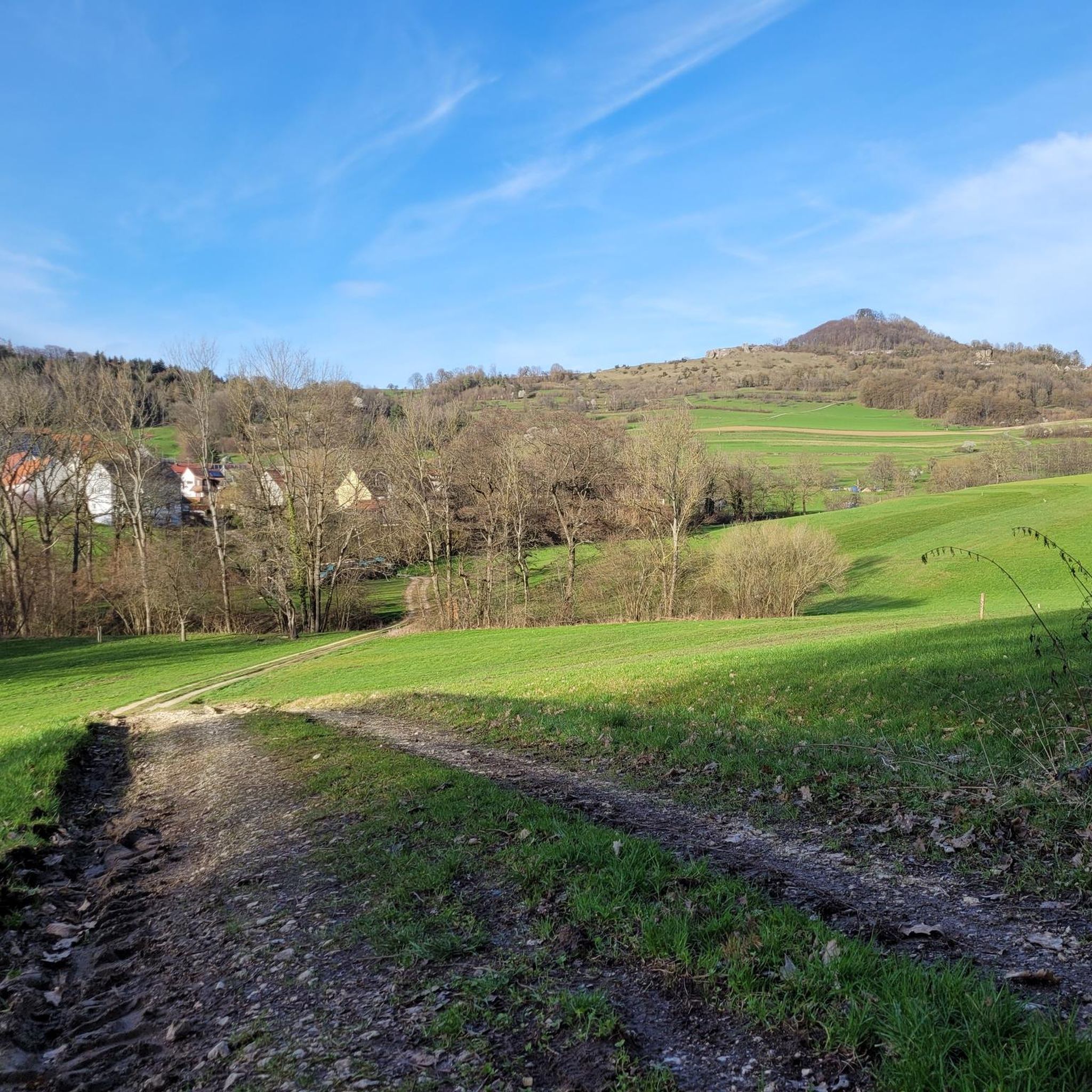
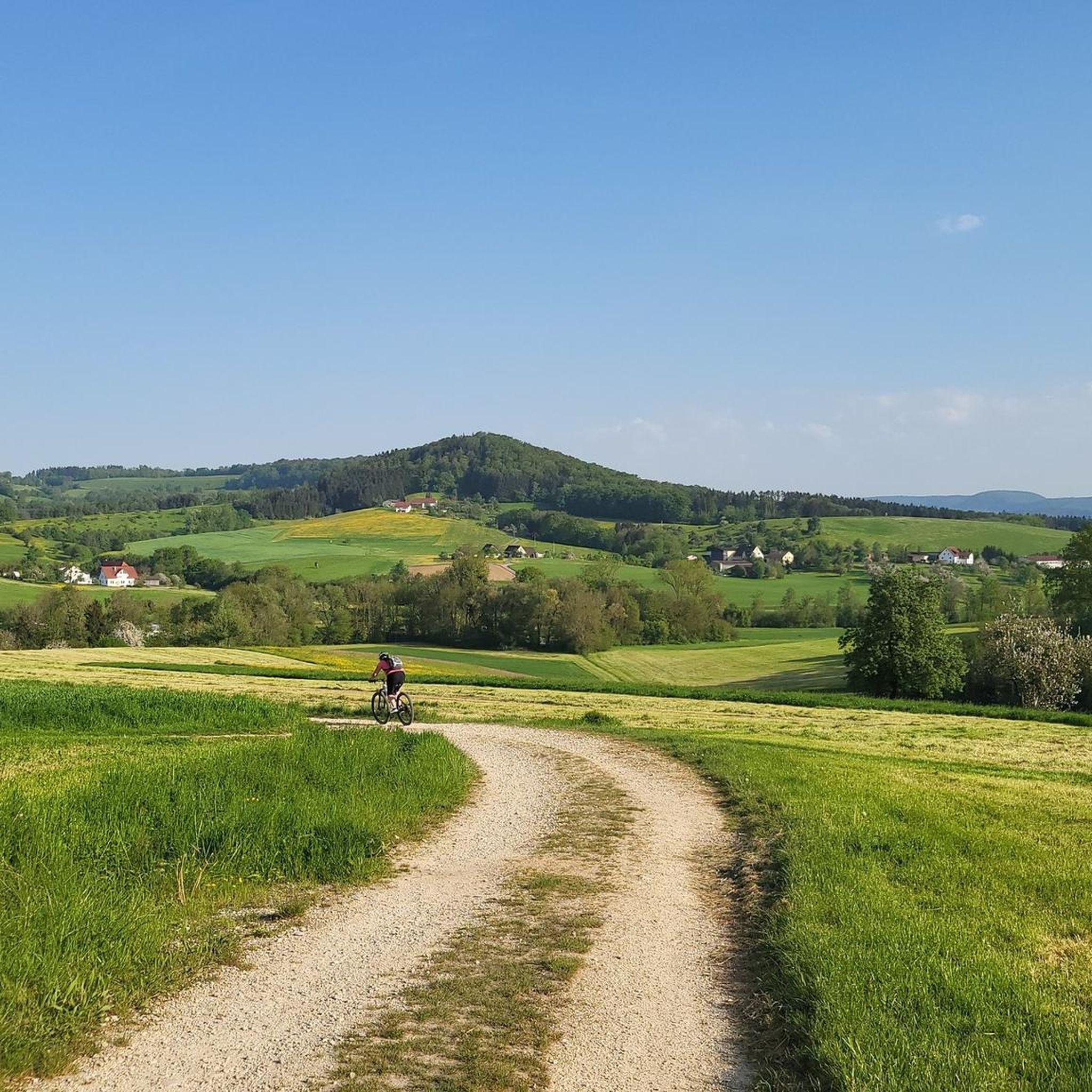
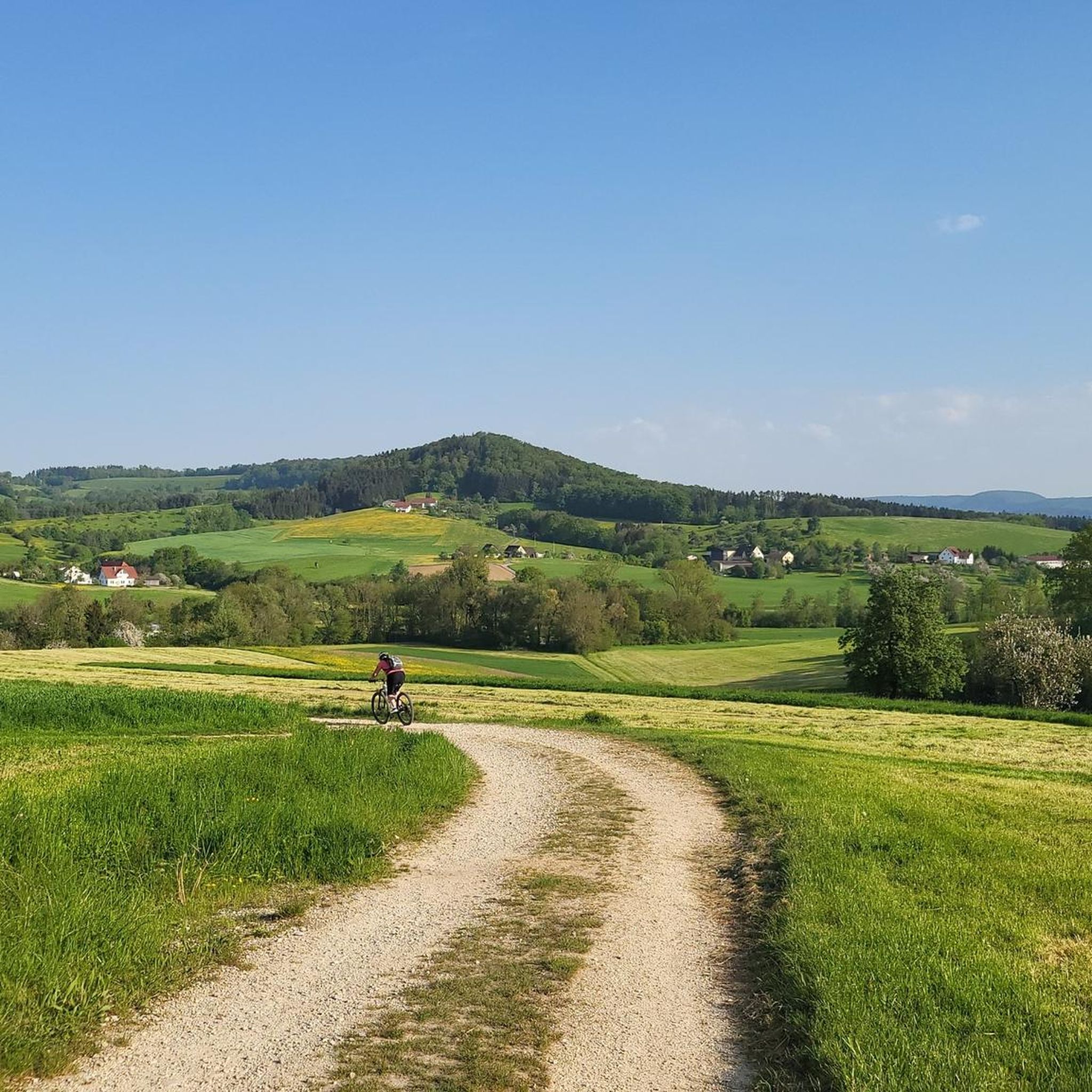
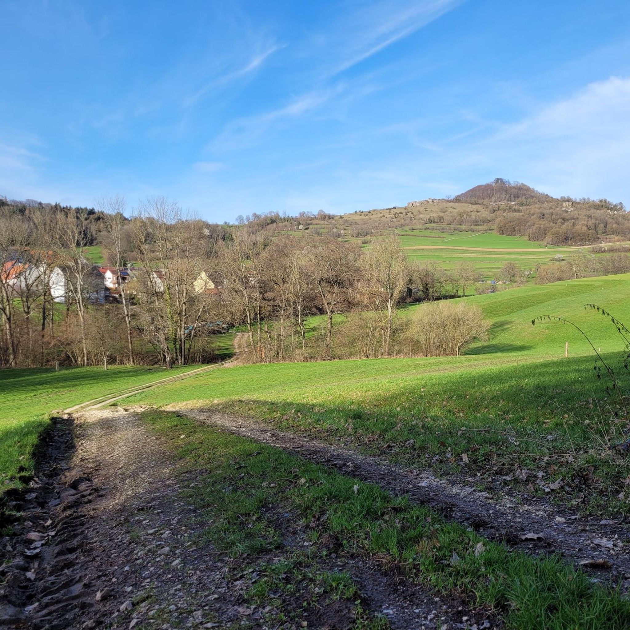
Tips from the Community

Mostly beautiful and close to the Fils, the cycle path goes from Plochingen to Göppingen.
2
0

Ramsberg Castle stands in the territory of the former municipality of Reichenbach unter Rechberg, which has been part of Donzdorf in the Göppingen district of Baden-Württemberg since 1974. The spur castle, along with its associated estate, is situated on a ridge, one of the two southern spurs of the Rehgebirge mountain range. Staufeneck Castle lies on the other (western) spur. https://de.wikipedia.org/wiki/Burg_Ramsberg_(Donzdorf)
1
0

Great climb and scenery, simply fantastic, it's fun to cycle there 🌞😍😍🤩
0
0

Ingenious and ideal for winter training
0
0
Attention always glass before and after the bridge
0
0

For quick help on the go when you don't have every tool with you
0
0
Beautiful climb to the Aasrücken
0
0

Frequently Asked Questions
How many road cycling routes are available in Spitalwald?
Spitalwald offers a wide selection of road cycling routes, with over 200 tours available. These routes cater to various skill levels, ensuring there's something for everyone.
What are the difficulty levels of road cycling routes in Spitalwald?
The road cycling routes in Spitalwald are categorized into different difficulty levels. You'll find approximately 49 easy routes, 112 moderate routes, and 39 difficult routes, providing options for all experience levels.
What do other road cyclists say about the routes in Spitalwald?
The komoot community highly rates the road cycling experience in Spitalwald, with an average score of 4.6 stars from over 700 reviews. More than 11,000 road cyclists have explored the area, often praising its natural settings and varied terrain.
Are there any loop trails for road cycling in Spitalwald?
Yes, many road cycling routes in Spitalwald are designed as loops, allowing you to start and finish at the same point. For example, the Reichenbach South Cycle Path – Rechberg Ascent loop from Eislingen (Fils) is a popular 22.9-mile loop featuring an ascent towards Rechberg.
What kind of terrain can I expect on road cycling routes in Spitalwald?
Road cycling in Spitalwald primarily features designated routes, often on paved surfaces, set within a natural environment. The area provides suitable terrain for road cycling, with routes that can include climbs and sections through the Fils Valley.
What natural landmarks can I see while road cycling in Spitalwald?
While cycling in Spitalwald, you can encounter notable natural features. One such landmark is the 300-year-old Old Oak Tree near Neuhausen, accessible via mostly paved routes. You might also find serene environments like the idyllic Großer Hieslinger Weiher.
Are there easy or beginner-friendly road cycling routes in Spitalwald?
Absolutely. Spitalwald offers several easy road cycling routes perfect for beginners or those seeking a relaxed ride. The Historic Center of Süßen – Fils Valley Cycle Route loop from Eislingen (Fils) is an easy 17.5-mile trail that takes about 1 hour 10 minutes to complete.
Where can I find challenging road cycling routes in Spitalwald?
For those looking for a challenge, Spitalwald has routes with significant climbs. The Ottenbach–Rechberg Climb – Aasrücken Climb from Ottenbach loop from Eislingen (Fils) is a moderate route that includes substantial elevation gain, offering a more demanding experience.
What are the nearest towns to Spitalwald for road cycling?
Spitalwald is situated around Göppingen, which serves as a central point for many road cycling routes. Other nearby towns like Eislingen (Fils) are common starting points for tours in the region, offering convenient access to the cycling network.
Is there parking available near road cycling trailheads in Spitalwald?
While specific parking locations are not detailed, routes often start from towns like Eislingen (Fils), where public parking facilities are typically available. It's advisable to check local parking options in these towns before your ride.
Are there routes that combine rail trails with climbs in Spitalwald?
Yes, some routes in Spitalwald offer a mix of terrain, including sections of former rail trails combined with climbs. The Hohenstaufenbahn Rail Trail – Kuchalb Climb loop from Eislingen (Fils) is a moderate 21.6-mile route that features both a rail trail section and a climb towards Kuchalb.
Can I find routes with views of the surrounding landscape in Spitalwald?
Many routes in Spitalwald offer scenic views, especially those that include climbs. For instance, the Aasrücken Climb from Ottenbach – View of Rechberg loop from Eislingen (Fils) provides vistas of the Rechberg area, allowing you to appreciate the natural beauty of the region.
Most popular routes in Spitalwald
Most popular attractions in Spitalwald

Get inspired with the komoot mobile app


Explore more
Browse the best Road cycling routes in other regions.
