The best road cycling routes in Alt-Saarbrücker Stadtwald
4.3
(642)
14,185
riders
404
rides
Road cycling routes in Alt-Saarbrücker Stadtwald traverse extensive forested areas and romantic stream valleys, offering varied terrain for cyclists. The region is characterized by its significant forest cover and hilly sections, providing both gentle slopes and challenging inclines. Many routes feature well-paved surfaces, integrating with the broader Saarland cycling network, including connections to the Saar Cycle Path.
Best road cycling routes in Alt-Saarbrücker Stadtwald
- The most popular road cycling route is Saar Promenade – Saar Cycle Path (Leinpfad) loop from…
Last updated: May 17, 2026
15
riders
101km
04:26
730m
730m
Moderate road ride. Good fitness required. Mostly well-paved surfaces and easy to ride.
9
riders
32.0km
01:36
370m
370m
Moderate road ride. Good fitness required. Mostly well-paved surfaces and easy to ride.

Sign up for free
4.8
(4)
606
riders
105km
04:52
1,100m
1,100m
Hard road ride. Very good fitness required. Some segments of this route may be unpaved and difficult to ride.
5.0
(4)
141
riders
Moderate road ride. Good fitness required. Mostly well-paved surfaces and easy to ride.
4.6
(5)
97
riders
72.7km
03:28
440m
440m
Moderate road ride. Good fitness required. Mostly well-paved surfaces and easy to ride.
Get access to more routes and recommendations from other explorers.
Sign up for free
Already have an account?
Our route recommendations are based on thousands of hikes, rides, and runs completed by other people on komoot.
Start today with a free account
Your next adventure awaits.
Login or Signup
Popular around Alt-Saarbrücker Stadtwald
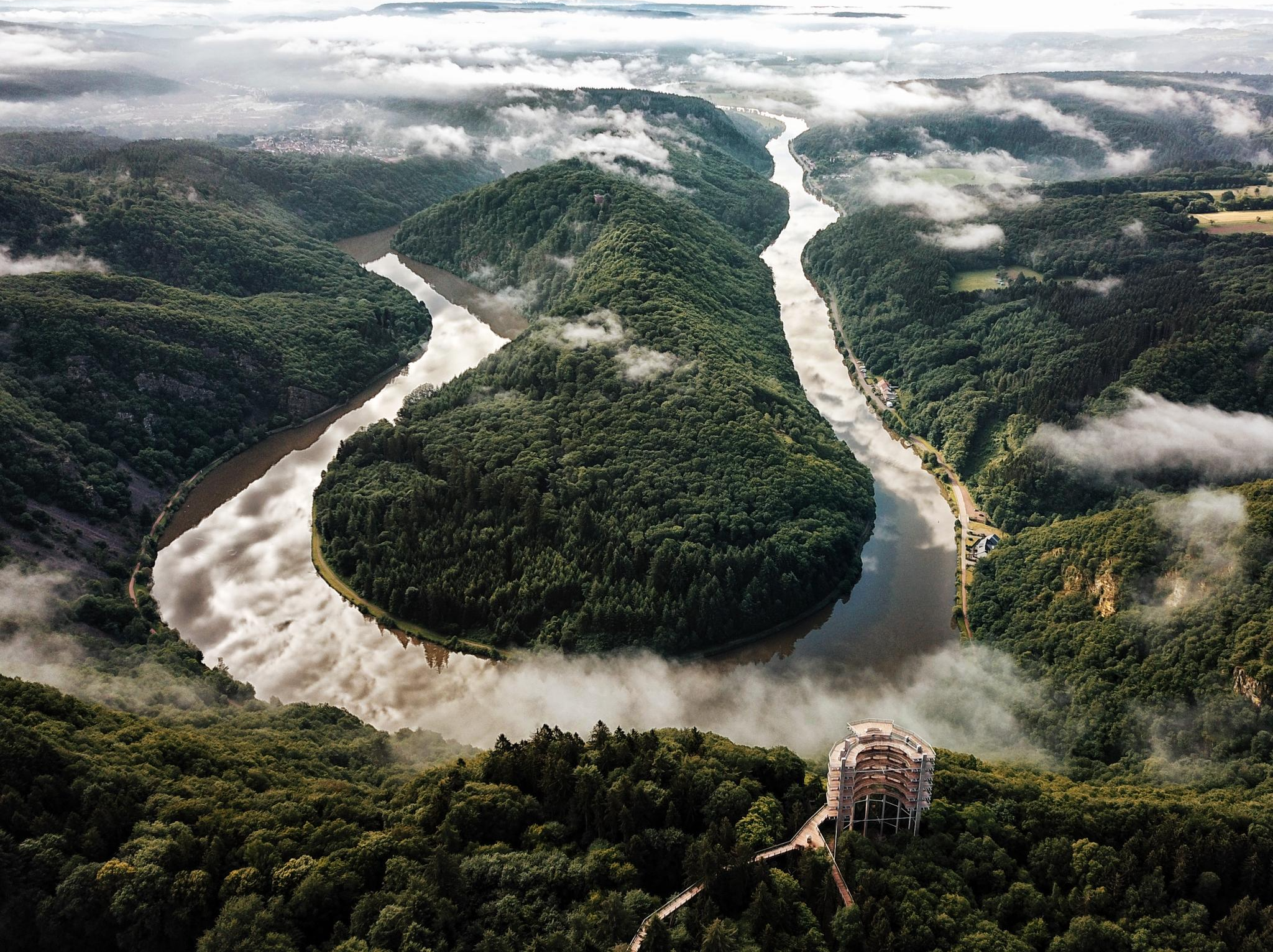
Forests, vineyards and plenty of culture – borderless cycling in Saarland
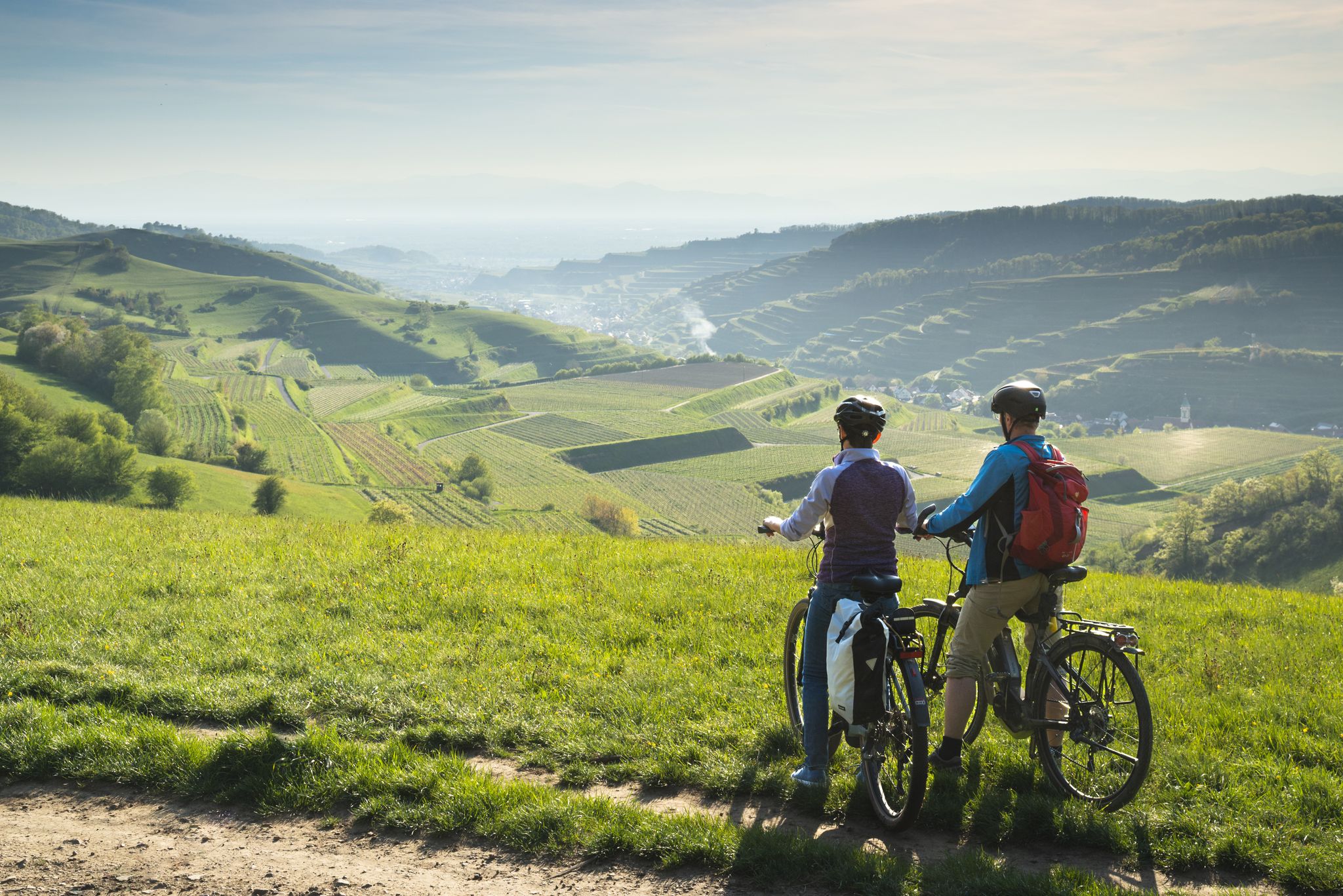
Step on the pedals – discover Saarland and the Black Forest by bike
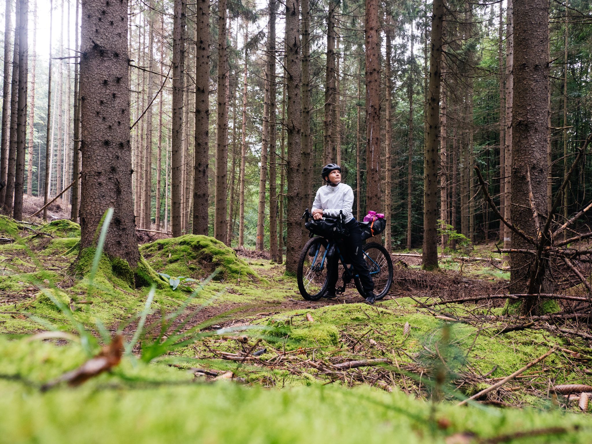
Gravel and bikepacking at its best on Germany’s Saarland Circuit
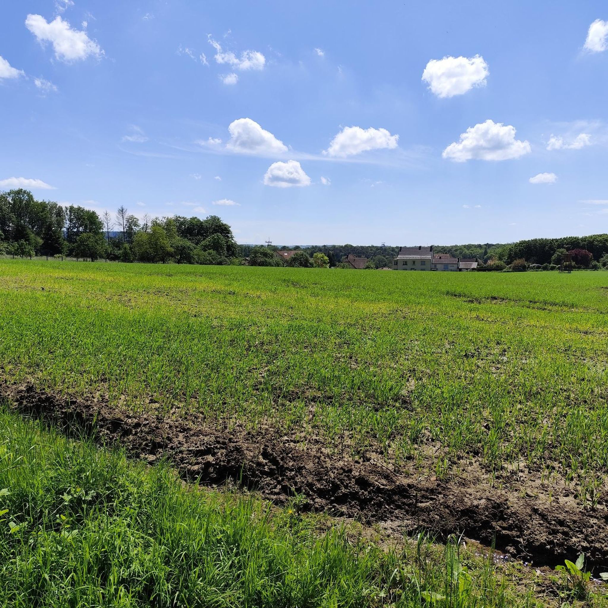
Cycling in Alt-Saarbrücker Stadtwald
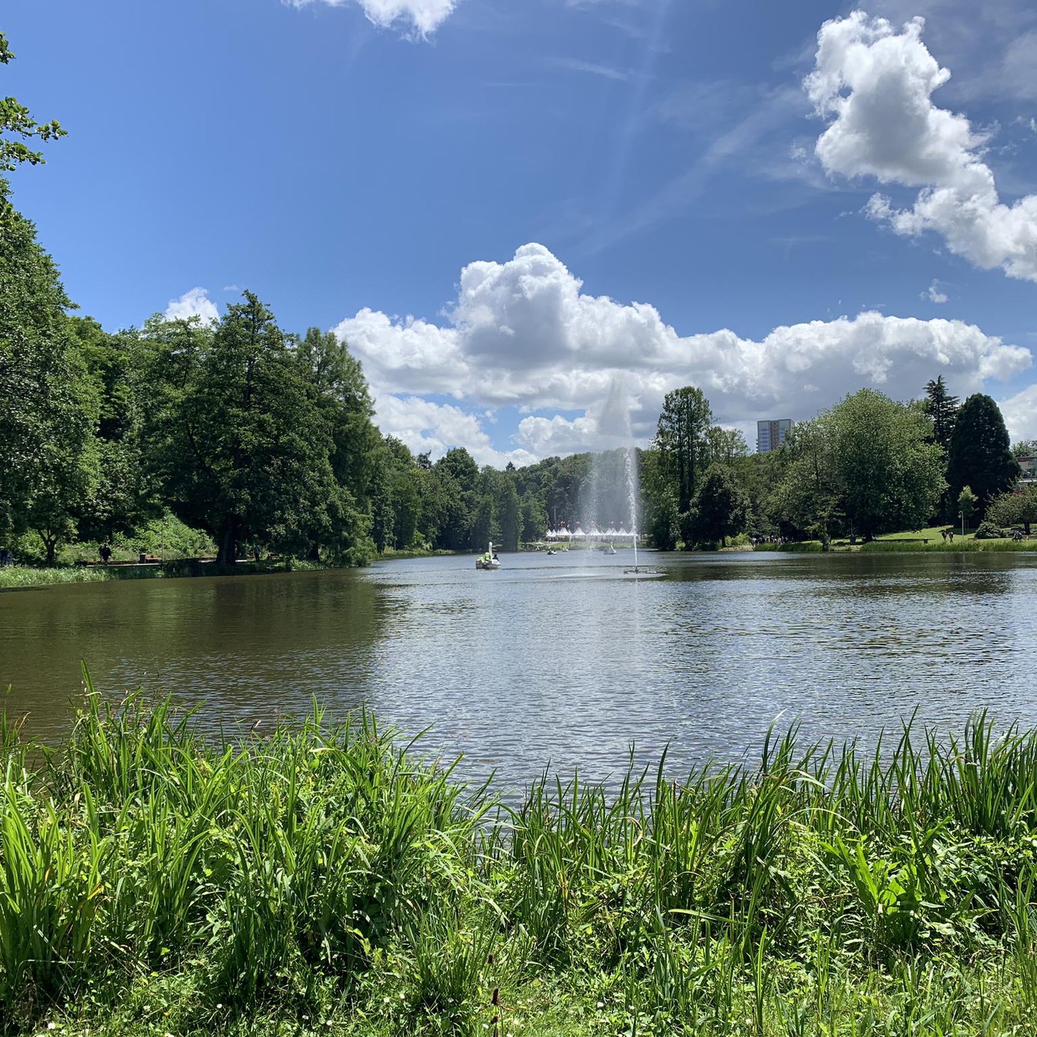
Running Trails in Alt-Saarbrücker Stadtwald
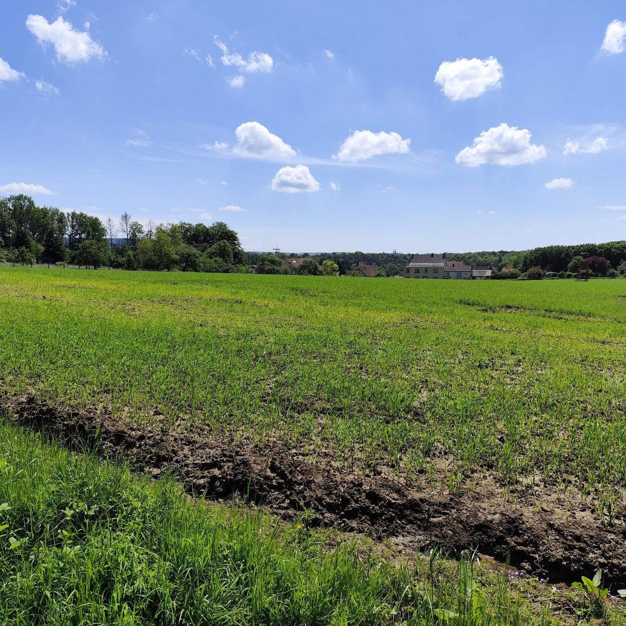
MTB Trails in Alt-Saarbrücker Stadtwald
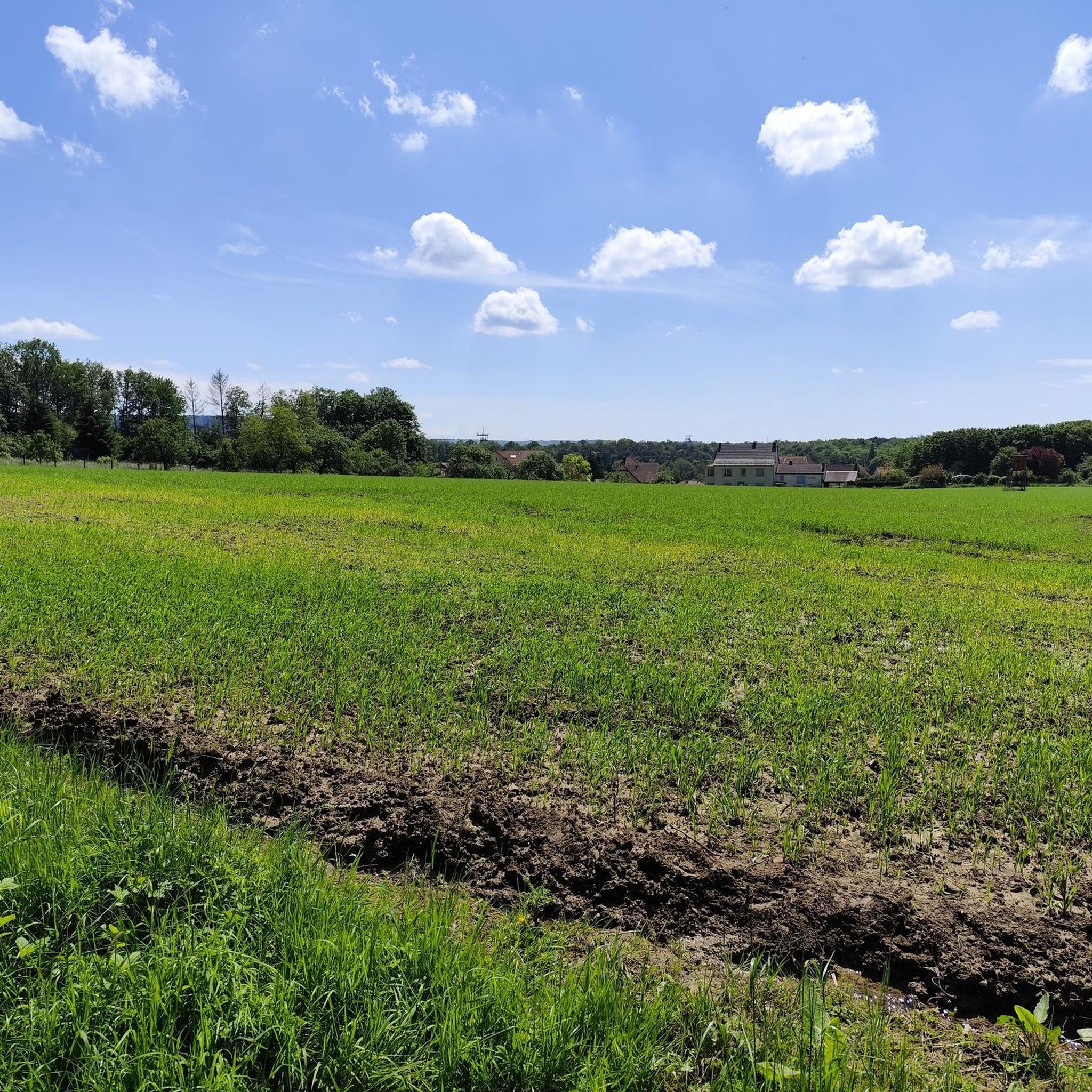
Hiking in Alt-Saarbrücker Stadtwald
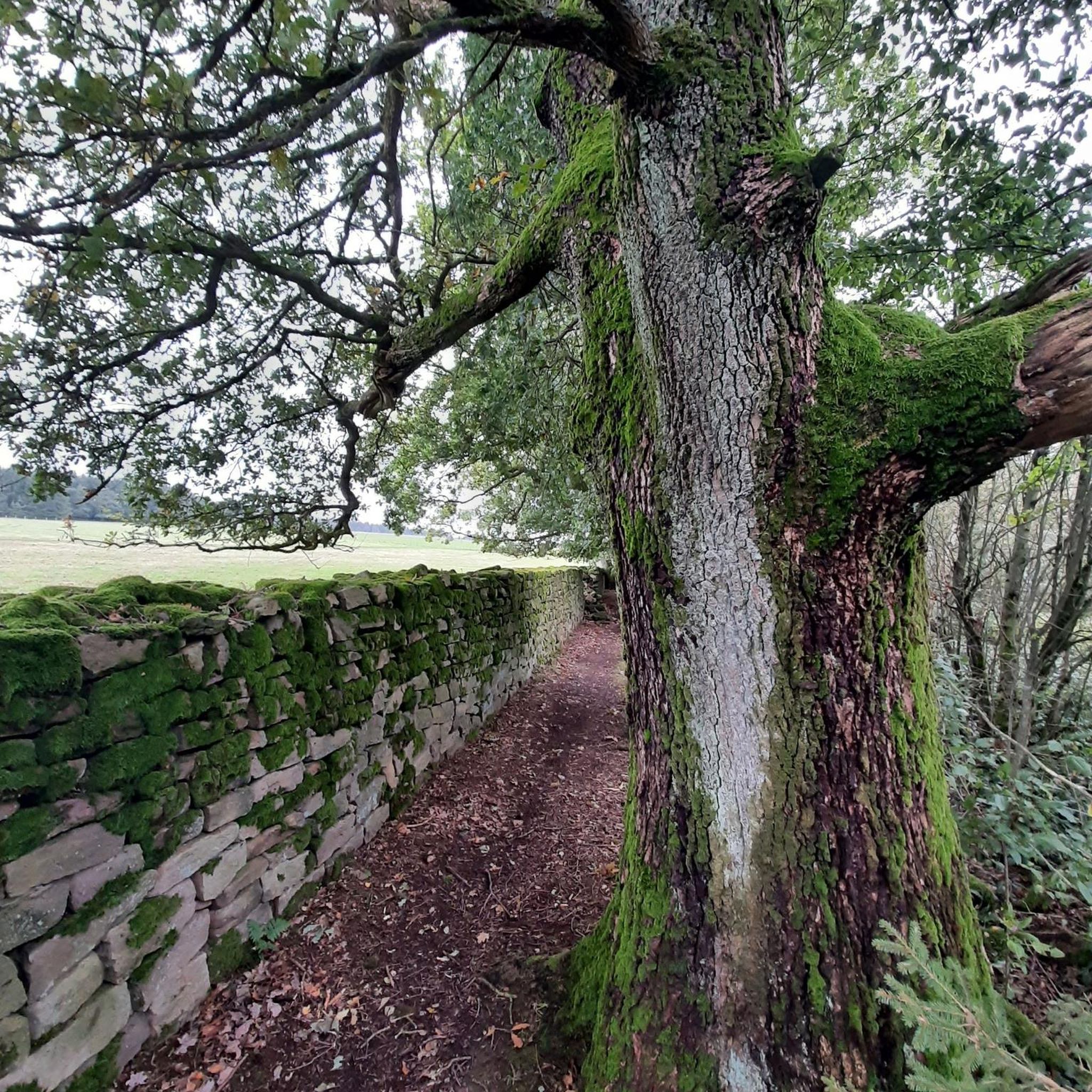
Gravel biking in Alt-Saarbrücker Stadtwald
Other adventures in Alt-Saarbrücker Stadtwald


Tips from the Community


Very close by is the Hotel Fährhaus on the one-way street "Zur alten Fähre" (signposted from the bridge). It offers a very quiet and affordable stay with free parking and very friendly hosts. From there, the best way to reach Saarbrücken city center (approx. 6 km) is to cross this bridge and take the Saar Cycle Path on the left bank of the Saar River (car-free). On the right bank, the route is a bit longer and more circuitous, going around the marina.
0
0

It's always lovely to see the animals there.
0
0

Damage has now been repaired.
0
0

🌉 Parablies Bridge – A Quiet Border Crossing over the Blies River The Parablies Bridge connects Germany and France in a truly peaceful way – between Bliesmengen-Bolchen and the French town of Schweyen. Surrounded by meadows, fields, and pastures, you cross the Blies River on a simple yet atmospheric footbridge. No traffic, no noise – just the feeling of simply leaving borders in your mind behind. 🇩🇪🇫🇷 Tip: Ideal for hikers or cyclists who want to consciously cross the border – with one foot in France, the other in the Saarland countryside.
0
0

Ideal for cooling off on hot days. But unfortunately, it's not drinking water.
0
0

Cafe Cote Canal is always worth a visit.
0
0

cycle path
1
0
Frequently Asked Questions
How many road cycling routes are available in Alt-Saarbrücker Stadtwald?
There are over 420 road cycling routes available in Alt-Saarbrücker Stadtwald, catering to various skill levels. This includes approximately 66 easy routes, 283 moderate routes, and 74 difficult routes for more experienced cyclists.
What kind of terrain can I expect when road cycling in Alt-Saarbrücker Stadtwald?
The Alt-Saarbrücker Stadtwald offers a diverse terrain for road cycling. You'll find extensive forested areas and romantic stream valleys, with routes ranging from gentle slopes to more challenging sections with significant inclines. Many paths feature well-paved surfaces, and the region is known for its hilly areas. You can also connect to the flatter Saar Cycle Path along the river for a different experience.
Are there routes suitable for beginners or those looking for an easy ride?
Yes, Alt-Saarbrücker Stadtwald offers several easy road cycling routes. A great option is the Saar Promenade – Leinpfad Along the Saar River loop from Schœneck, which is an easy 7.4 miles (11.9 km) path offering scenic views along the Saar River. Another easy route is the Saar Promenade – Saar Cycle Path (Leinpfad) loop from Schœneck, a 14.2 miles (22.8 km) trail that follows the Saar Cycle Path.
Are there challenging routes for experienced road cyclists?
Absolutely. For experienced road cyclists seeking a challenge, the region provides routes with significant elevation gain and longer distances. A notable difficult route is the Saar Cycle Path (Leinpfad) – Niederwürzbacher Pond loop from Südbahnhof, a 65.3 miles (105.1 km) trail leading through varied landscapes with over 1100 meters of elevation gain.
What natural features or landmarks can I see along the road cycling routes?
While cycling in Alt-Saarbrücker Stadtwald, you can experience extensive forested areas and romantic stream valleys. The region is also home to the unique 'Urwald vor den Toren Saarbrückens' (Primeval Forest at the Gates of Saarbrücken), a protected nature reserve. Nearby attractions include the tranquil Deutschmühlen Pond and sections of the Saar Cycle Path Saarbrücken. You might also pass the German-French border at Schœneck.
What is the best time of year for road cycling in Alt-Saarbrücker Stadtwald?
The Alt-Saarbrücker Stadtwald is enjoyable for road cycling throughout much of the year. Spring and autumn offer pleasant temperatures and beautiful scenery, with the changing foliage in autumn being particularly striking. Summer provides warm weather for longer rides through shaded forest areas. While winter cycling is possible, conditions may vary, so checking local weather and road conditions is advisable.
How can I reach the road cycling routes using public transport?
Many road cycling routes in Alt-Saarbrücker Stadtwald are accessible from Saarbrücken, which has good public transport connections. You can often reach starting points, such as those near Südbahnhof, by bus or train, allowing you to begin your ride directly from public transport hubs. It's recommended to check local transport schedules for specific route access.
Is parking available near the road cycling routes?
Yes, parking is generally available at various access points around the Alt-Saarbrücker Stadtwald and in Saarbrücken itself. Many routes start from locations with designated parking areas, making it convenient for cyclists arriving by car. Specific parking information can often be found on individual route descriptions.
Are there any loop routes available for road cycling?
Yes, many road cycling routes in Alt-Saarbrücker Stadtwald are designed as loops, allowing you to start and finish at the same point. Examples include the Grumbach Valley – Saar Cycle Path (Leinpfad) loop from Südbahnhof, a moderate 47.2 km ride, and the Étang de Welschhof – Along the Saar loop from Südbahnhof, a longer 73.5 km moderate route.
Are the road cycling routes in Alt-Saarbrücker Stadtwald family-friendly?
While the Stadtwald itself features varied terrain, connections to the Saar Cycle Path offer excellent family-friendly options. The Saar Cycle Path is mostly flat and runs along the river, providing a safe and enjoyable experience for families. Look for routes described as 'easy' for the most suitable family rides.
Can I bring my dog on the road cycling routes?
While many outdoor areas in Germany are dog-friendly, specific regulations can apply to nature reserves and shared paths. When cycling, it's generally recommended to keep dogs on a leash, especially in forested areas or near wildlife. Always be mindful of other cyclists and pedestrians. For specific routes, check local signage or komoot route details for any restrictions.
Are there cafes or places to stop for refreshments along the routes?
Yes, the Alt-Saarbrücker Stadtwald is close to Saarbrücken, offering numerous cafes, restaurants, and pubs where you can stop for refreshments. Along some of the more popular routes, especially those connecting to the Saar Cycle Path or passing through smaller towns, you may find opportunities to refuel. It's always a good idea to carry some snacks and water, especially on longer rides.
What do other road cyclists say about the routes in Alt-Saarbrücker Stadtwald?
The road cycling routes in Alt-Saarbrücker Stadtwald are highly rated by the komoot community, with an average score of 4.4 stars from over 750 reviews. More than 16,000 road cyclists have explored the area using komoot. Reviewers often praise the varied terrain, the extensive forest cover providing shaded rides, and the well-paved surfaces, as well as the scenic beauty of the stream valleys and connections to the Saar River.
Most popular routes in Alt-Saarbrücker Stadtwald
Most popular attractions in Alt-Saarbrücker Stadtwald

Get inspired with the komoot mobile app


Explore more
Browse the best Road cycling routes in other regions.
