The best road cycling routes in Gaisbusch
4.2
(200)
5,084
riders
237
rides
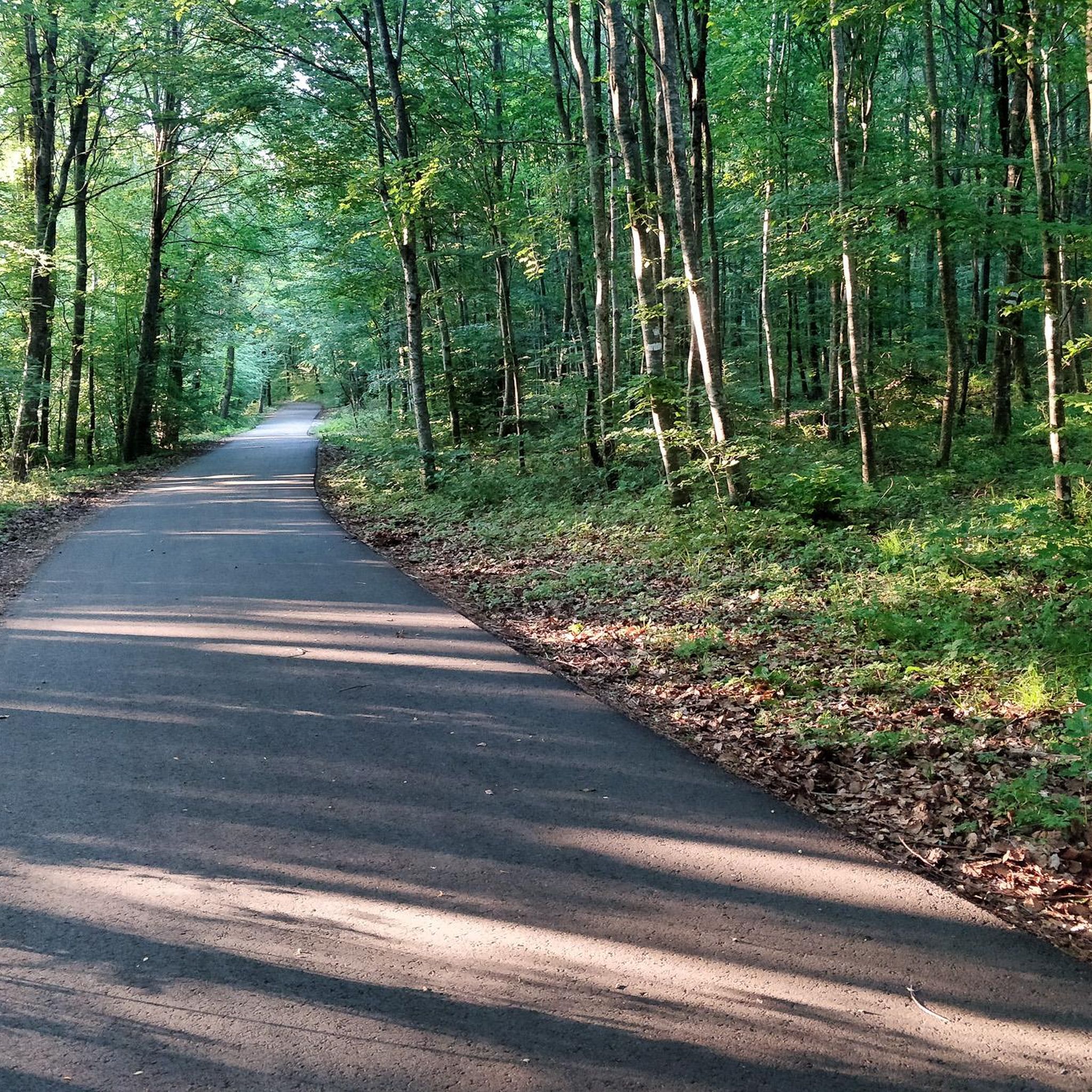
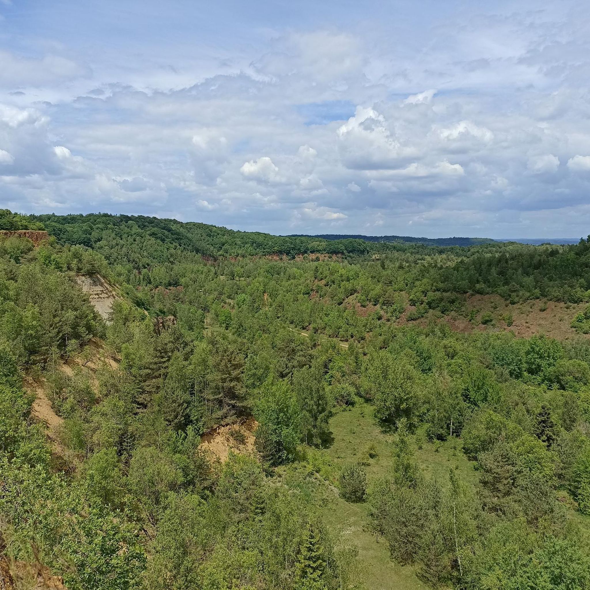
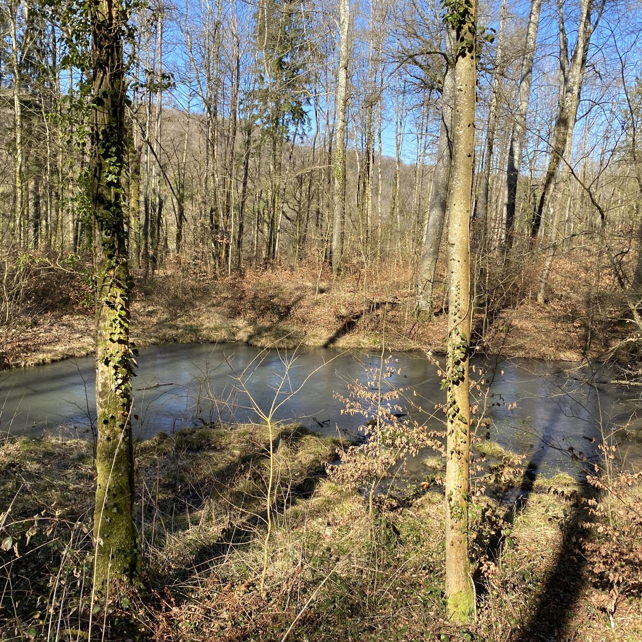
Road cycling in Gaisbusch offers a network of routes through a beautiful forest region near Diedenhofen. The terrain is characterized by rolling hills and varied landscapes, providing diverse options for cyclists. Routes often feature moderate elevation gains, making them suitable for different fitness levels. The area's natural features include woodlands and local water bodies, contributing to a scenic cycling experience.
Best road cycling routes in Gaisbusch
- The most popular road cycling route is Étang loop from Tressange, a 21.4…
Last updated: October 8, 2026
5.0
(2)
24
riders
30.6km
01:29
260m
260m
Easy road ride. Great for any fitness level. Mostly well-paved surfaces and easy to ride.
5
riders
32.0km
01:22
260m
260m
Easy road ride. Great for any fitness level. Mostly well-paved surfaces and easy to ride.

5
riders
42.9km
02:03
510m
510m
Moderate road ride. Good fitness required. Some segments of this route may be unpaved and difficult to ride.
5
riders
85.6km
03:52
810m
810m
Moderate road ride. Good fitness required. Mostly well-paved surfaces and easy to ride.
4.3
(3)
10
riders
28.2km
01:16
240m
240m
Easy road ride. Great for any fitness level. Mostly well-paved surfaces and easy to ride.
Get access to more routes and recommendations from other explorers.
Already have an account?
Our route recommendations are based on thousands of hikes, rides, and runs completed by other people on komoot.
Start today with a free account
Your next adventure awaits.
Tips from the Community


A beautiful city where it is worth looking around or having a "drink" in one of the cafés
0
0

Good place to stop and enjoy the cafés with their outside terraces
0
0

Nicely done but a bit shabby complex in a former quarry. Well worth a visit if an is in the area. https://youtu.be/36DFDFKWKaE
0
0

Parish Church of Notre-Dame-de-l'Assomption, built in 1746, in a very dilapidated state in the middle of the 19th century; in 1850, it was decided to restore and enlarge it, by widening the nave and extending it until the exterior alignment of the tower, and by piercing the entrance door in the axis of the nave; work completed in September 1851; the last level of the tower, burnt down in August 1914, was rebuilt after the war of 1914-1918.
1
0

The transportation of iron ore is explained. There is a garden school opposite.
0
0
Frequently Asked Questions
How many road cycling routes are available in Gaisbusch?
Gaisbusch offers a comprehensive network of over 250 road cycling routes. These routes cater to various skill levels, with a good mix of easy, moderate, and challenging options to explore the region's diverse landscapes.
What kind of terrain can I expect when road cycling in Gaisbusch?
Road cycling in Gaisbusch features a varied terrain characterized by rolling hills, woodlands, and local water bodies. You'll find routes with moderate elevation gains, offering a scenic experience through forests and open countryside. The region's natural setting, similar to the Lower Rhine area, provides picturesque views along rivers and lakes.
Are there road cycling routes suitable for beginners in Gaisbusch?
Yes, Gaisbusch has plenty of options for beginners. There are 76 easy routes, such as the Roadbike loop from Tressange, which offers gentle gradients through the surrounding countryside. Another great choice is the Étang d'Havange loop from Ottange, providing an accessible ride around a local pond.
What are some notable landmarks or natural features I might see on a road cycling route in Gaisbusch?
While cycling in Gaisbusch, you can expect to encounter charming natural features like local ponds and extensive woodlands. The region's character, reminiscent of the Lower Rhine, suggests scenic routes along riverbanks and past picturesque lakes. Historically, areas like this often feature impressive moated castles or charming historic centers, providing interesting points for a short break.
Are there any circular road cycling routes in Gaisbusch?
Yes, many of the road cycling routes in Gaisbusch are circular, allowing you to start and end at the same point. Popular options include the Étang loop from Tressange, which circles a local pond, and the Transport of Iron Ore – Hammocks loop from Rochonvillers, which takes you through historical landscapes.
When is the best time of year for road cycling in Gaisbusch?
The best seasons for road cycling in Gaisbusch are typically spring and summer. During these months, nature flourishes, and the mild climate provides ideal conditions for enjoyable rides. The longer daylight hours and generally pleasant weather make it perfect for exploring the region's routes.
Is parking available for road cyclists in Gaisbusch?
While specific parking locations for Gaisbusch routes are not detailed, regions with extensive cycling networks typically offer designated parking areas near popular trailheads or in nearby towns. It's advisable to check local signage or community information for the most convenient parking spots before your ride.
Can I reach road cycling routes in Gaisbusch using public transport?
Information on specific public transport links to Gaisbusch's cycling paths is not readily available. However, in regions known for outdoor activities, public transport options often connect to larger towns or starting points of popular routes. Cyclists should research local bus or train services to nearby communities like Tressange or Rochonvillers, which serve as starting points for several routes.
Are there family-friendly road cycling routes in Gaisbusch?
Gaisbusch offers several easy-grade routes that are suitable for families. The gentle gradients and scenic paths through woodlands and along local water bodies provide a pleasant experience for riders of all ages. Routes like the Roadbike loop from Tressange are good examples of accessible options.
What do other road cyclists say about Gaisbusch?
The road cycling routes in Gaisbusch are highly rated by the komoot community, with an average score of 4.2 stars from over 160 reviews. Cyclists often praise the varied terrain, the beautiful forest regions, and the options available for different ability levels. Over 4000 road cyclists have used komoot to explore the area, highlighting its popularity.
Are there places to stop for food or drinks along the road cycling routes in Gaisbusch?
While specific cafes or pubs directly on the routes are not listed, the region's character, similar to the Lower Rhine, suggests that nearby towns and villages will offer opportunities for refreshment. Communities like Tressange, Ottange, or Rochonvillers, which serve as starting points for many routes, are likely to have cafes or pubs where cyclists can take a break.
Are there longer road cycling routes for experienced riders in Gaisbusch?
Yes, Gaisbusch provides longer and more challenging routes for experienced road cyclists. For example, the Croix de Fer de Joppécourt loop from Tressange is a moderate 85.6 km (53.2 miles) trail with over 800 meters of elevation gain, offering a substantial ride for those seeking a greater challenge.
Most popular routes in Gaisbusch

Get inspired with the komoot mobile app


Explore more
Browse the best Road cycling routes in other regions.
