The best running trails in Forêt Régionale De Montgé
4.1
(65)
3,278
runners
172
runs
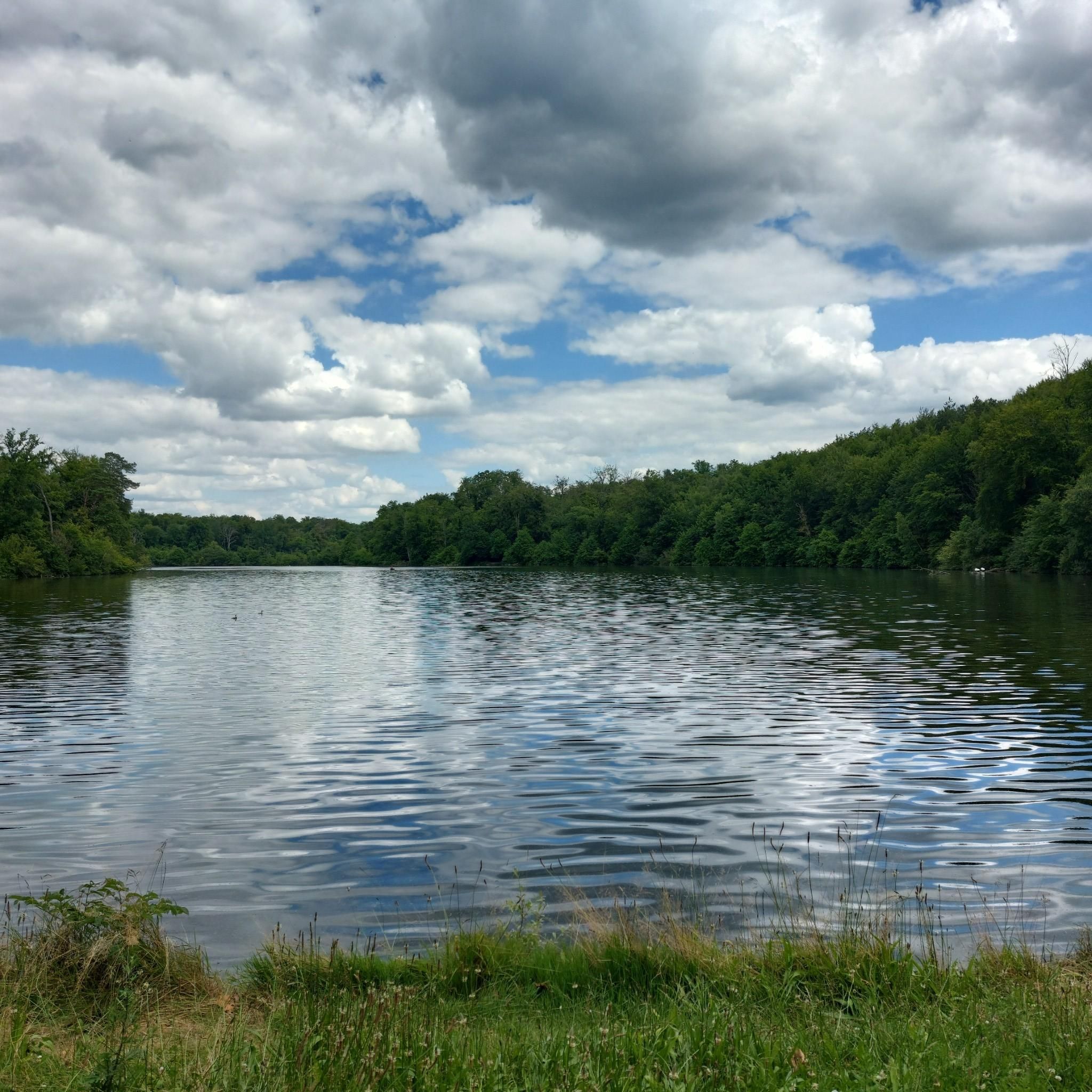
Jogging in Forêt Régionale De Montgé offers varied terrain and an extensive network of trails within a 960-hectare regional forest. The area is characterized by a hilly topography, situated on a butte that provides diverse elevations and microclimates, making for engaging running routes. Dense woodlands with dominant chestnut, oak, and ash trees provide ample shade, enhancing the running experience. This green space features four watershed basins, contributing to its rich biodiversity and varied landscapes.
Best jogging routes in Forêt Régionale…
Last updated: July 5, 2026
43
runners
Moderate run. Good fitness required. Mostly paved surfaces. Suitable for all skill levels.
37
runners
16.5km
01:56
210m
210m
Hard run. Very good fitness required. Mostly paved surfaces. Suitable for all skill levels.

Sign up for free
15
runners
8.22km
00:57
80m
80m
Moderate run. Good fitness required. Mostly paved surfaces. Suitable for all skill levels.
5
runners
12.4km
01:26
150m
150m
Moderate run. Good fitness required. Mostly paved surfaces. Suitable for all skill levels.
8
runners
12.2km
01:16
40m
40m
Moderate run. Good fitness required. Mostly paved surfaces. Suitable for all skill levels.
Get access to more routes and recommendations from other explorers.
Sign up for free
Already have an account?
Our route recommendations are based on thousands of hikes, rides, and runs completed by other people on komoot.
Start today with a free account
Your next adventure awaits.
Login or Signup
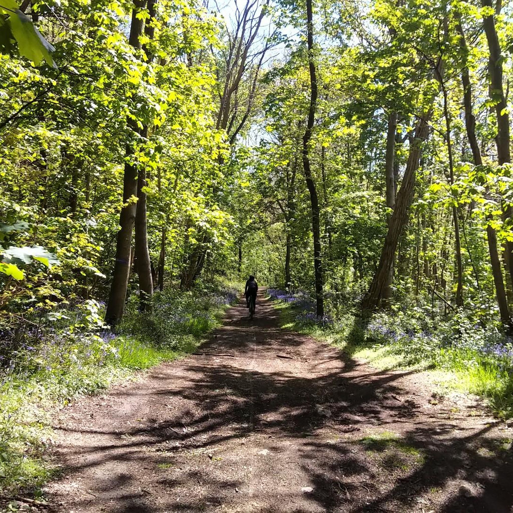
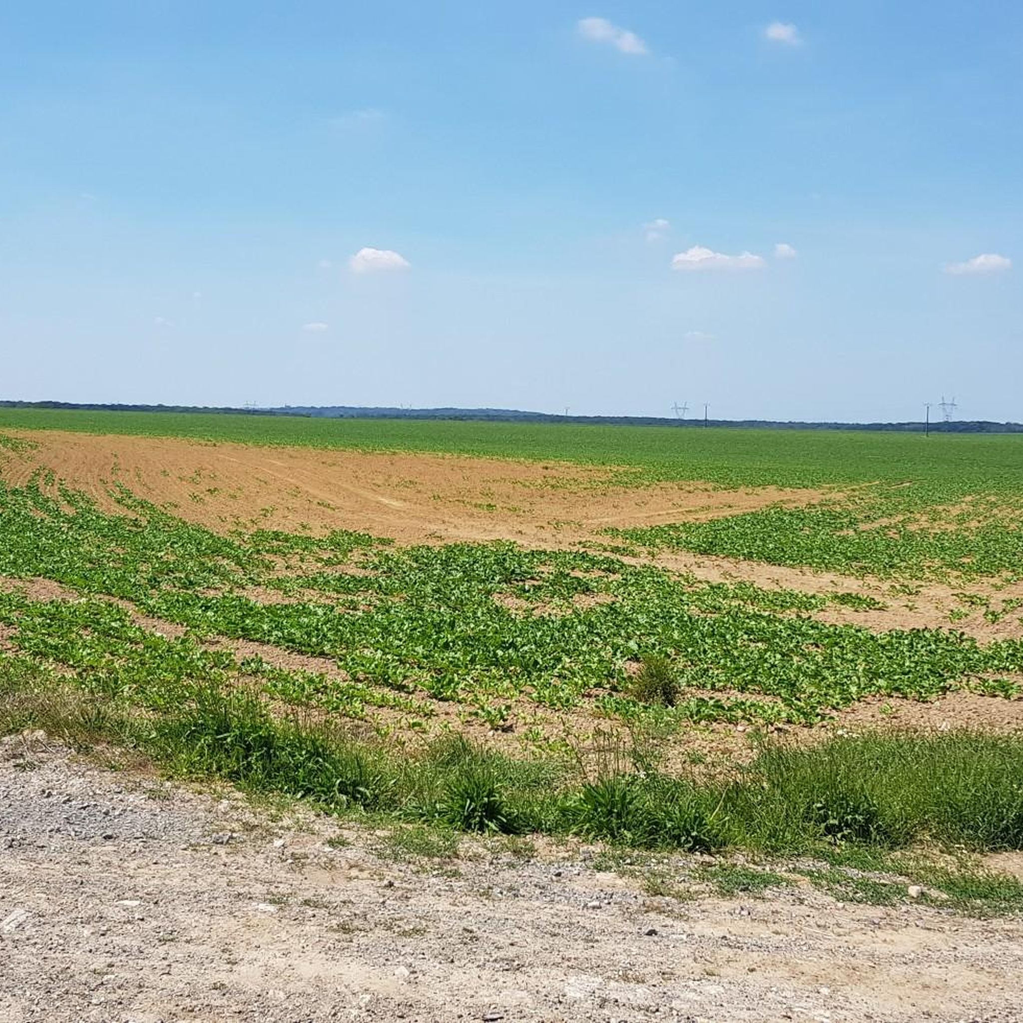
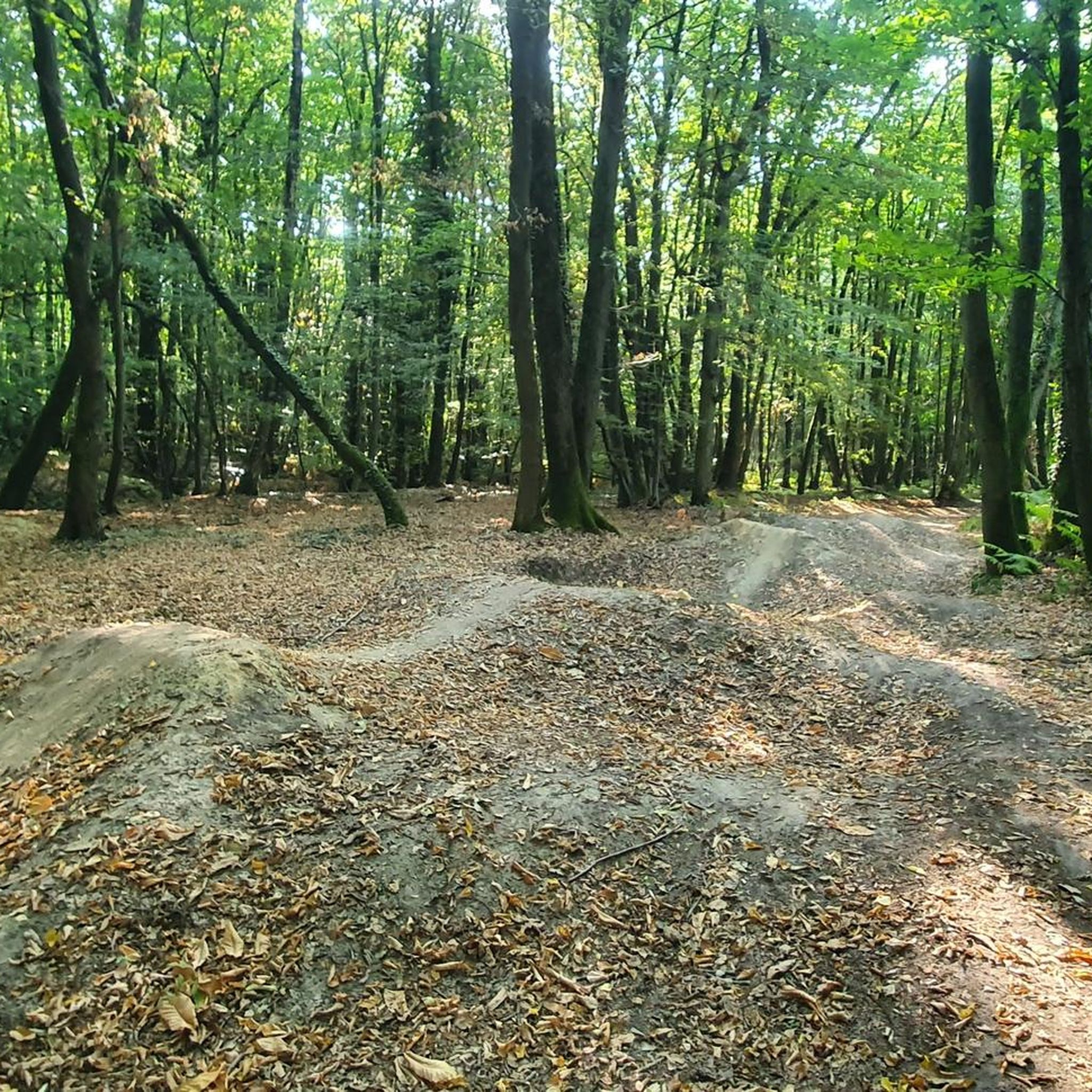
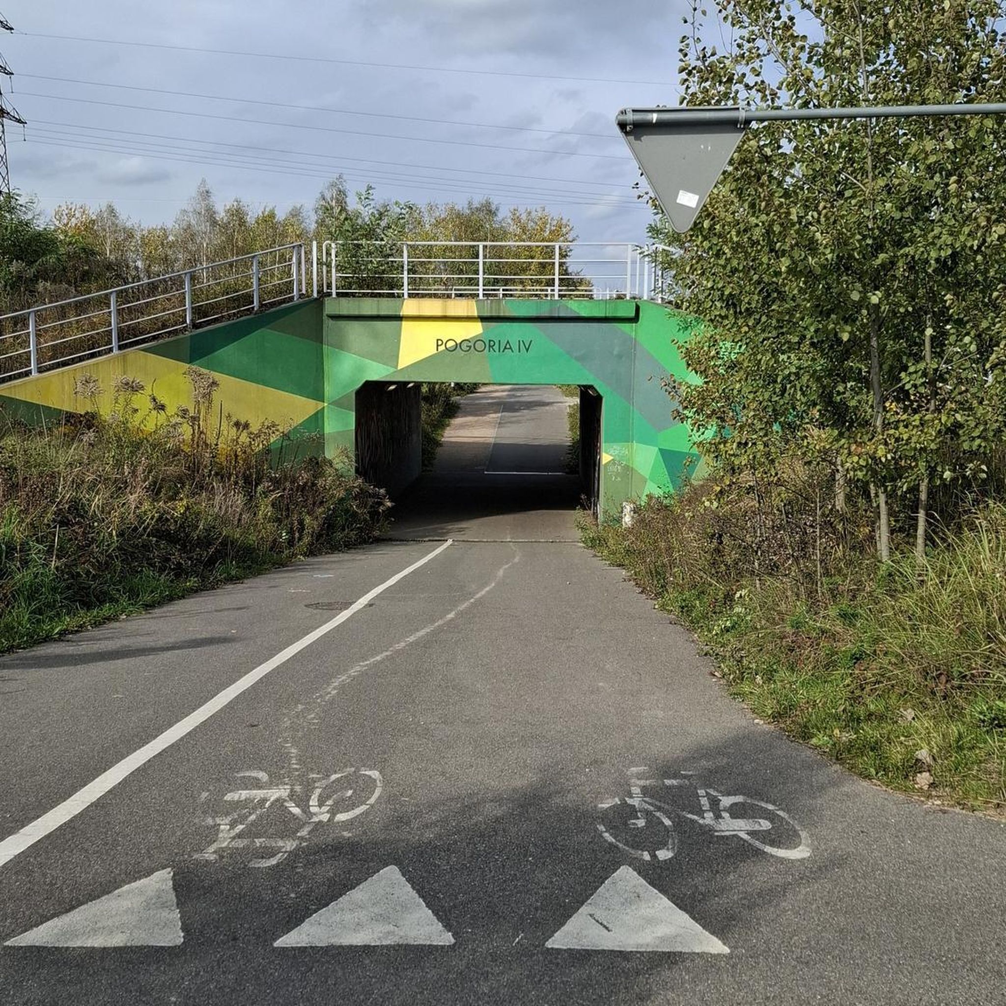
Tips from the Community

Superb in spring!
0
0

The forest of Montgé-en-Goële is a very beautiful site which will delight sports enthusiasts including hikers. Take the opportunity to take a family outing or with your four-legged friend. The shaded paths lend themselves particularly well to quiet picnics, provided you respect the environment.
3
0

A water supply at the top of the hill. Nice!
1
0

Very nice and isolated path in the forest, easy to ride even with a city bike. Perfect for picking chestnuts!
5
0
Frequently Asked Questions
What kind of terrain can I expect when running in Forêt Régionale De Montgé?
The Forêt Régionale De Montgé is situated on a butte, offering a varied and engaging running experience with diverse elevations and microclimates. You'll find a mix of hilly topography and extensive trail networks, with some routes described as 'difficult' requiring excellent physical condition, while others are more accessible. The dense woodlands provide ample shade, making it pleasant even during warmer periods.
Are there any easy running routes suitable for beginners in Forêt Régionale De Montgé?
Yes, Forêt Régionale De Montgé offers a variety of routes for different fitness levels. There are 12 easy running routes available, perfect for beginners or those looking for a less strenuous run. While specific easy routes aren't highlighted in the top list, komoot's community has rated many trails, so you can explore options like the shorter sections of the forest's network.
What are some notable landmarks or natural features to see while jogging in the forest?
While running in Forêt Régionale De Montgé, you can discover several interesting features. The Signal de Montgé, the highest point at 200 meters, offers scenic views and is home to an old optical telegraph tower. You might also encounter the site of the former Saint-Thibault castle and its orchard, or unique trees like the 'elephant's feet' beeches and a Ginkgo Biloba. The forest also features four watershed basins, creating valleys and contributing to its rich biodiversity.
How many running routes are available in Forêt Régionale De Montgé?
Forêt Régionale De Montgé boasts an extensive network of trails, with over 150 running routes available. These routes cater to various preferences, including 12 easy, 121 moderate, and 26 difficult options, ensuring there's a path for every runner.
Are there any circular running routes in Forêt Régionale De Montgé?
Yes, many of the running routes in Forêt Régionale De Montgé are circular, allowing you to start and finish at the same point. For example, the Sunken path in the forest loop from Montgé-en-Goële is a moderate 12.4 km loop, offering a great way to explore the forest without retracing your steps.
What do other runners say about the trails in Forêt Régionale De Montgé?
The running trails in Forêt Régionale De Montgé are highly regarded by the komoot community, with an average rating of 4.3 stars from over 90 reviews. Runners often praise the varied terrain, the extensive network of shaded paths, and the engaging challenges offered by the hilly topography.
Is Forêt Régionale De Montgé suitable for family-friendly jogging or walks?
Yes, Forêt Régionale De Montgé offers trails suitable for families. While some routes are challenging, the diverse network includes more accessible paths. The presence of historical sites like the Signal de Montgé and varied flora can make for an engaging outing for all ages. Look for the easier-rated routes for a more relaxed family experience.
What is the best time of year to go running in Forêt Régionale De Montgé?
Forêt Régionale De Montgé is enjoyable year-round, but spring is particularly beautiful with diverse flora like daffodils, narcissus, and hyacinths adorning the forest floor. The ample shade from the dense woodlands makes it pleasant even during warmer periods in summer. Autumn also offers stunning foliage. Consider checking local weather conditions before your visit.
Are dogs allowed on the running routes in Forêt Régionale De Montgé?
While the guide data doesn't specify dog policies, regional forests in France generally allow dogs on trails, often requiring them to be on a leash. It's always a good idea to check local signage upon arrival or consult the official Forêt Régionale De Montgé website for the most current regulations regarding pets.
How can I get to Forêt Régionale De Montgé, and is there parking available?
Forêt Régionale De Montgé is located in Seine-et-Marne, about thirty kilometers from Paris, making it accessible by car. While specific parking information isn't detailed, regional forests typically have designated parking areas near trailheads. For public transport, you would likely need to combine train travel with a local bus or taxi service to reach the forest's vicinity, as direct public transport links to the heart of the forest are less common.
Are there any challenging running routes for experienced runners?
Absolutely. For experienced runners seeking a challenge, Forêt Régionale De Montgé offers 26 difficult routes. An example is the Sunken path in the forest loop from Saint-Soupplets, a 16.5 km path known for its hilly topography and diverse relief, requiring excellent physical condition.
What is the typical length of running routes in Forêt Régionale De Montgé?
The running routes in Forêt Régionale De Montgé vary significantly in length. You can find shorter paths, but many popular routes are between 12 to 16 kilometers. For instance, the Route Under the Trees – Sunken path in the forest loop from Montgé-en-Goële is 14.3 km, and the Forêt régionale de Montgé loop from Montgé-en-Goële is 15.9 km, offering substantial distances for a good workout.
Most popular routes in Forêt Régionale De Montgé

Get inspired with the komoot mobile app


Explore more
Browse the best Running Trails & Routes in other regions.
