The best cycling routes in Zum Häsebusch
4.6
(1587)
5,759
riders
458
rides
Touring cycling routes in Zum Häsebusch traverse a landscape characterized by its riverine features and natural tranquility. The area is defined by the Argen River, including its confluence and the historic Argen Suspension Bridge, which is now exclusively for cyclists and pedestrians. Routes often follow paths along the water, offering scenic views and opportunities for exploration within a predominantly forested environment. The terrain generally presents gentle gradients, suitable for various cycling abilities.
Best touring cycling routes in Zum Häsebusch
- The…
Last updated: July 3, 2026
4.5
(17)
50
riders
31.4km
01:52
70m
70m
Easy bike ride. Great for any fitness level. Mostly paved surfaces. Suitable for all skill levels.
4.5
(17)
49
riders
41.4km
02:26
70m
70m
Moderate bike ride. Good fitness required. Mostly paved surfaces. Suitable for all skill levels.

Sign up for free
4.7
(3)
11
riders
49.9km
03:05
120m
120m
Moderate bike ride. Good fitness required. Mostly paved surfaces. Suitable for all skill levels.
4.5
(4)
14
riders
14.3km
00:55
40m
40m
Easy bike ride. Great for any fitness level. Mostly paved surfaces. Suitable for all skill levels.
5
riders
30.9km
01:56
60m
60m
Easy bike ride. Great for any fitness level. Mostly paved surfaces. Suitable for all skill levels.
Get access to more routes and recommendations from other explorers.
Sign up for free
Already have an account?
Our route recommendations are based on thousands of hikes, rides, and runs completed by other people on komoot.
Start today with a free account
Your next adventure awaits.
Login or Signup
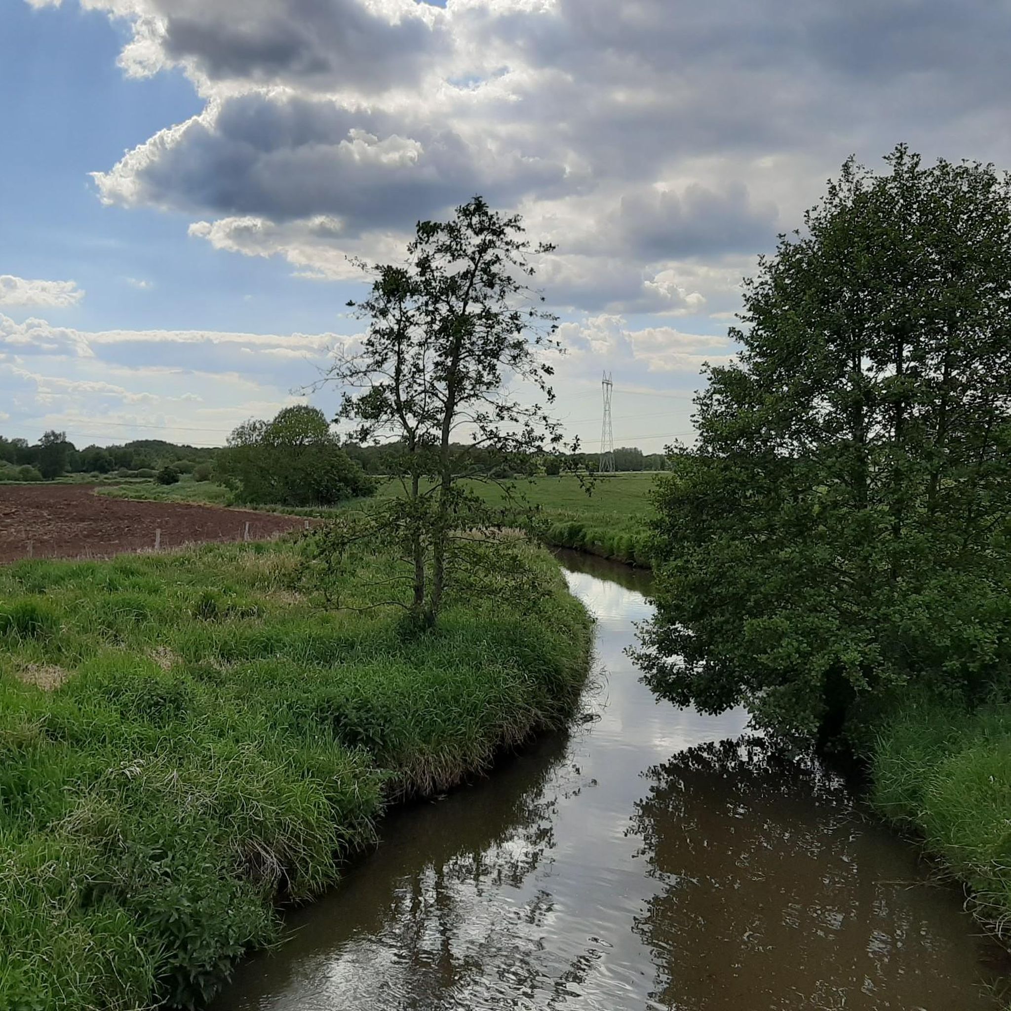
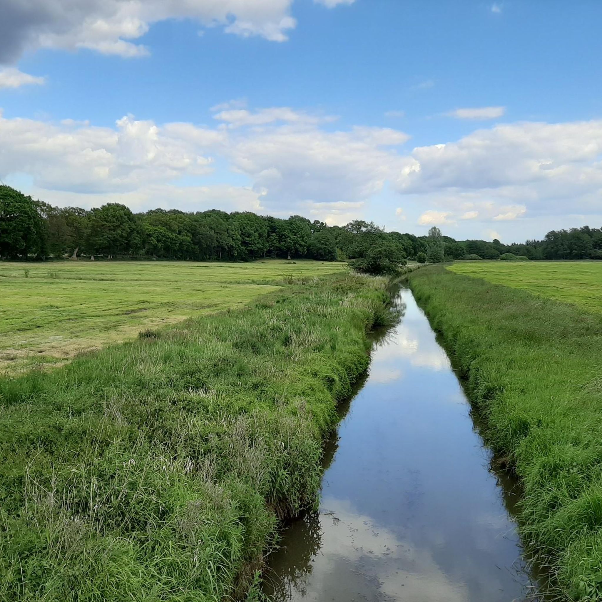
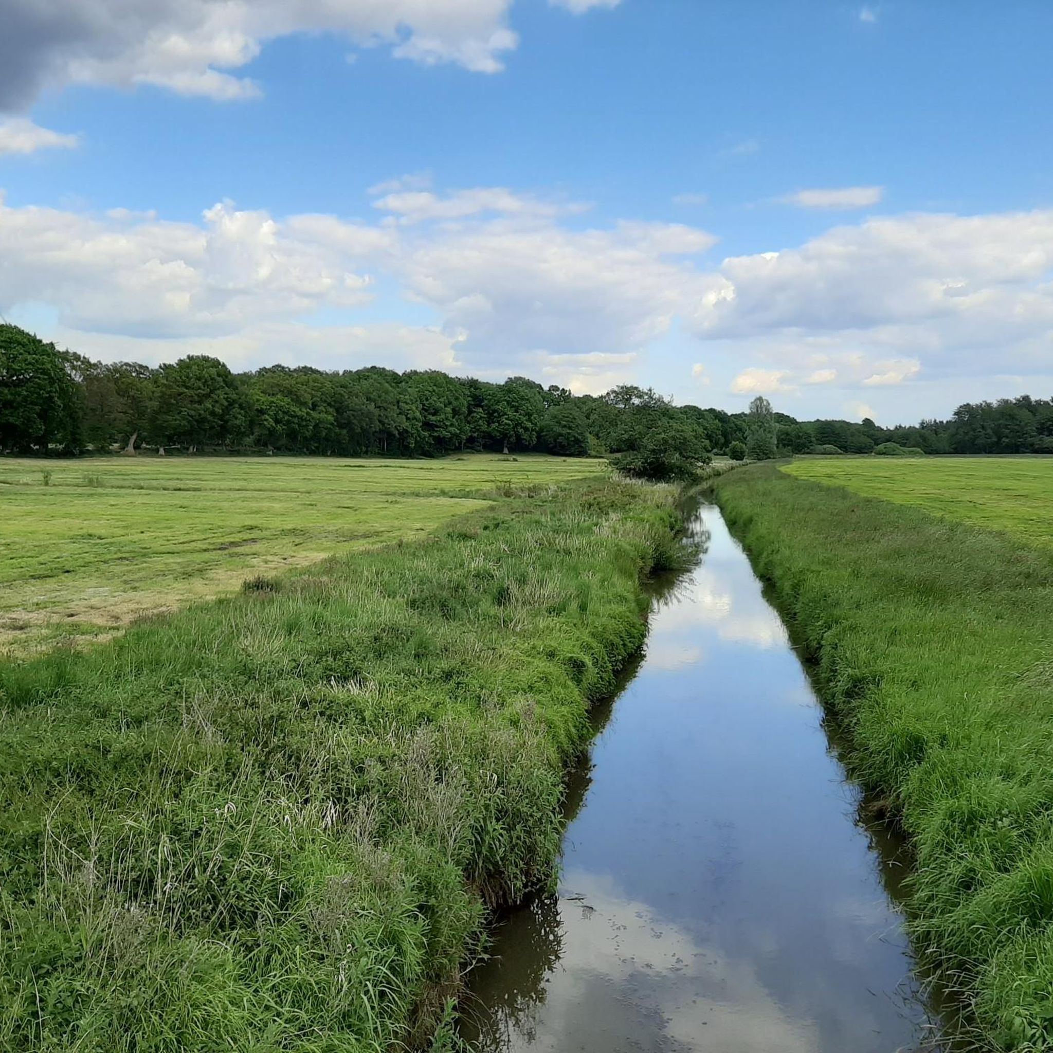

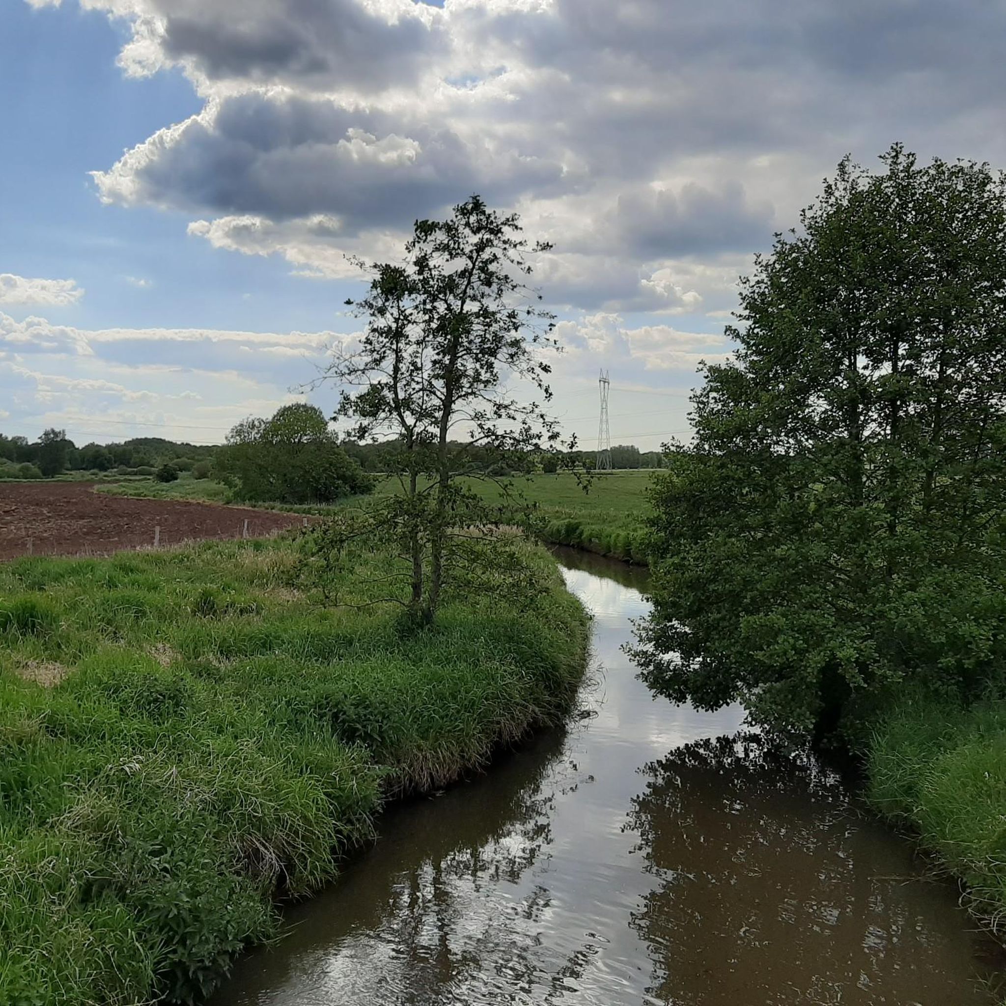
Tips from the Community

The Stoteler See was created in 1971 during the construction of the BAB A 27 motorway. Over time, the former gravel pit has become an attractive focal point for recreation seekers from the entire district. The lake lies exactly on the border between Torfmoor and Geest, is one kilometer long, 30 hectares in size, and up to 14.5 meters deep. The 400 m long sandy beach, facing south and supervised by the DLRG, is located on the southern shore of the lake. Above it are also the sanitary facilities of the bathing beach. A few benches with a view of the lake invite you to linger. To the south, the nature reserves "Stoteler Moor" and "Königsmoor" border the lake. Moorland rewetting also takes place in the southern area. This leads to the re-establishment of typical moorland plants and animal species in this area. See: https://www.apps.nlga.niedersachsen.de/batlas/?2517_01
2
0
The Stoteler See was created in 1971 during the construction of the BAB A 27 motorway. Over time, the former gravel pit has become an attractive focal point for recreation seekers from the entire district. The lake lies exactly on the border between Torfmoor and Geest, is one kilometer long, 30 hectares in size, and up to 14.5 meters deep. The 400 m long sandy beach, laid out in a southerly direction and supervised by the DLRG, is located on the south bank of the lake. Above it are also the sanitary facilities of the bathing beach. To the south, the nature reserves "Stoteler Moor" and Königsmoor" border the lake. Moorland rewetting also takes place in the southern area. This leads to the re-establishment of moorland-typical plant and animal species in this area. See: https://www.apps.nlga.niedersachsen.de/batlas/?2517_01
2
0

The 17-meter-high lower light consists of a white steel tube with a red pyramid-shaped roof. It stands directly on the Weser bank on the beach at Sandstedt. The 35-meter-high upper light stands 420 meters inland behind the dike and consists of a red-and-white striped steel tube.
0
0
The 58-meter-high radar tower is a popular tourist destination on the Weser River between Bremen and Bremerhaven. Built in 1978, it monitors shipping traffic. The radar station, along with seven other stations, forms a land-based radar network for the Weser River.
0
0
Here you have a better view of the many bodies of water and ponds in this area.
0
0
In Aschwarden and Rade, in the area of the Aschwardener Flutgraben and the Hinnebecker Fleht, it bordered to the west on the “Unterwesermarsch” nature reserve.
1
0

Stop and take a look at the confluence. From up here, you have a good view.
1
0
Nice break area and photo opportunity
2
0
Frequently Asked Questions
What kind of terrain can I expect on touring cycling routes in Zum Häsebusch?
The terrain in Zum Häsebusch is generally characterized by gentle gradients, making it suitable for various cycling abilities. Routes often follow paths along the Argen River, traversing riverine landscapes and forested areas.
How many touring cycling routes are available in Zum Häsebusch?
There are over 440 touring cycling routes in Zum Häsebusch. This includes a wide range of options, with more than 280 easy routes, 140 moderate routes, and 16 more challenging paths.
Are there easy touring cycling routes suitable for beginners or families?
Yes, Zum Häsebusch offers many easy touring cycling routes. For example, the Jan vom Moor Museum – Heiser Mill loop from Bramstedt is an easy 8.9-mile (14.3 km) route that takes about 54 minutes, featuring a museum and a mill. Another great option is the Bakery and pastry shop – Restaurant Am Alten Postweg loop from Bramstedt, an easy 6.5-mile (10.5 km) route.
What natural features or landmarks can I see while cycling in Zum Häsebusch?
The region is rich in natural beauty and historical landmarks. You can cycle past the historic Argen Suspension Bridge, which is now exclusively for cyclists and pedestrians, offering a great photo opportunity. Routes also follow the picturesque Argen River, including its confluence, where you might find picnic and barbecue areas. The natural scenery along the river is highly praised for its tranquility.
Are there any circular touring cycling routes in the area?
Yes, many routes in Zum Häsebusch are designed as loops. For instance, the Picnic Area at Stoteler See – Stoteler Lake loop from Bramstedt is an easy 19.2-mile (30.9 km) circular route that takes you around Stoteler Lake. Another option is the On the Weser dike – Aschwarden Windmill loop from Hagen im Bremischen, a moderate 31.1-mile (50.1 km) path featuring a dike and a windmill.
What do other touring cyclists enjoy most about cycling in Zum Häsebusch?
The komoot community highly rates touring cycling in Zum Häsebusch, with an average score of 4.6 stars from over 1,300 reviews. Cyclists often praise the scenic riverine landscapes, the tranquility of the forested areas, and the presence of unique landmarks like the Argen Suspension Bridge. Over 5,200 touring cyclists have used komoot to explore the varied terrain here.
When is the best time of year to go touring cycling in Zum Häsebusch?
The natural beauty of Zum Häsebusch, particularly along the Argen River, can be enjoyed year-round. However, for touring cycling, spring through early autumn typically offers the most pleasant weather conditions. The Argen Suspension Bridge is noted as a great photo opportunity year-round, suggesting that even in cooler months, the scenery remains appealing.
Are there any longer or more challenging touring cycling routes in Zum Häsebusch?
While many routes feature gentle gradients, there are options for longer and moderately challenging rides. For example, the Lune River – Lune estuary into the Weser loop from Bramstedt is a moderate 25.7-mile (41.4 km) route that follows river landscapes and takes approximately 2 hours 26 minutes to complete. There are 16 routes classified as difficult for those seeking a greater challenge.
Can I find places to eat or drink along the touring cycling routes?
While specific cafes and pubs are not detailed for every route, the presence of a 'Bakery and pastry shop' and 'Restaurant Am Alten Postweg' in the name of one route (Bakery and pastry shop – Restaurant Am Alten Postweg loop from Bramstedt) suggests that refreshment stops are available in the vicinity of some routes. The confluence of the Argen rivers also offers a picnic and barbecue area for self-catered breaks.
Is Zum Häsebusch suitable for dog-friendly cycling?
The natural setting of Zum Häsebusch, with its riverine paths and forested areas, generally lends itself to outdoor activities with dogs. While specific dog-friendly route designations are not provided, the tranquil environment and opportunities for exploration along the Argen River suggest it could be a pleasant area for cycling with a well-behaved dog, provided local regulations are observed.
Where can I find parking for touring cycling routes in Zum Häsebusch?
While specific parking locations are not detailed for every route, many touring cycling routes in Zum Häsebusch start from towns or villages like Bramstedt and Hagen im Bremischen. These locations typically offer public parking facilities. It's advisable to check local signage upon arrival for designated parking areas near your chosen starting point.
Most popular routes in Zum Häsebusch

Get inspired with the komoot mobile app


Explore more
Browse the best Cycling routes in other regions.
