The best running trails in Spanger Holz
4.6
(231)
3,104
runners
320
runs
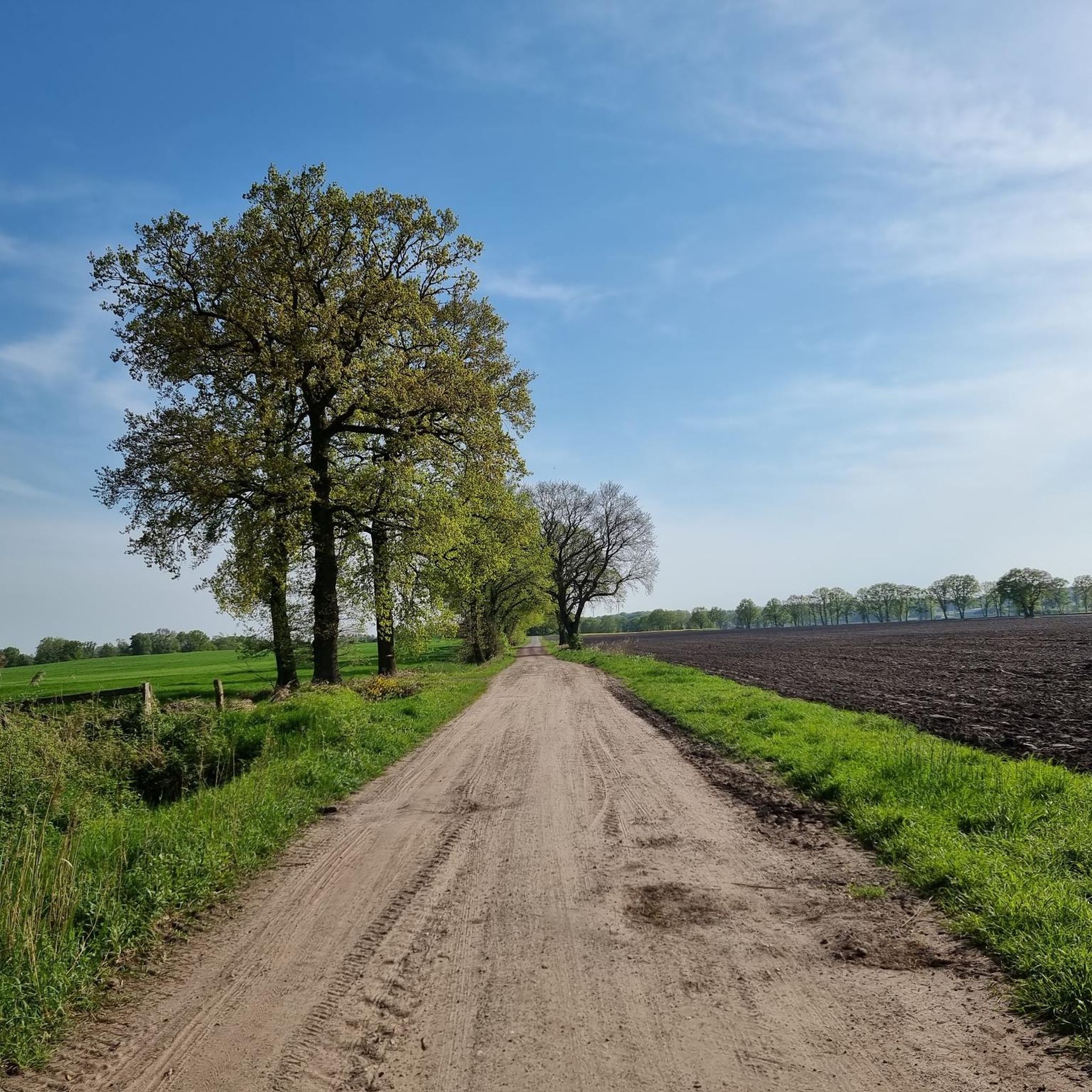
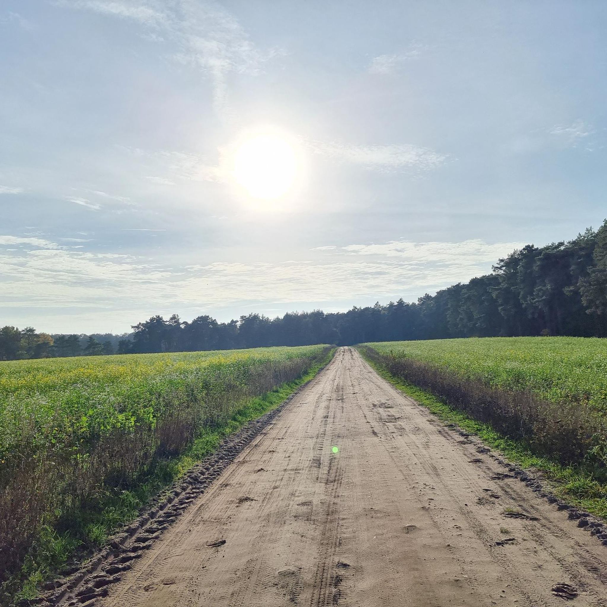
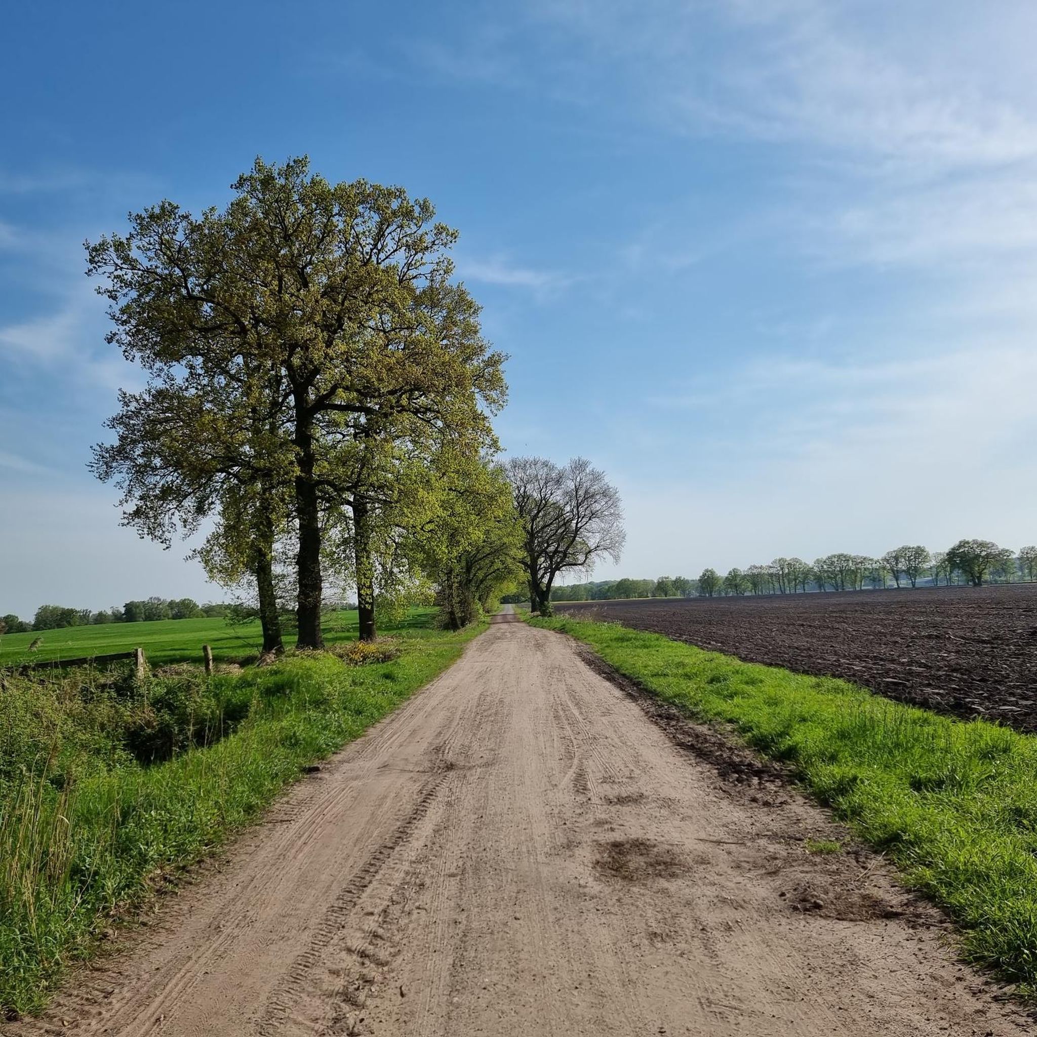
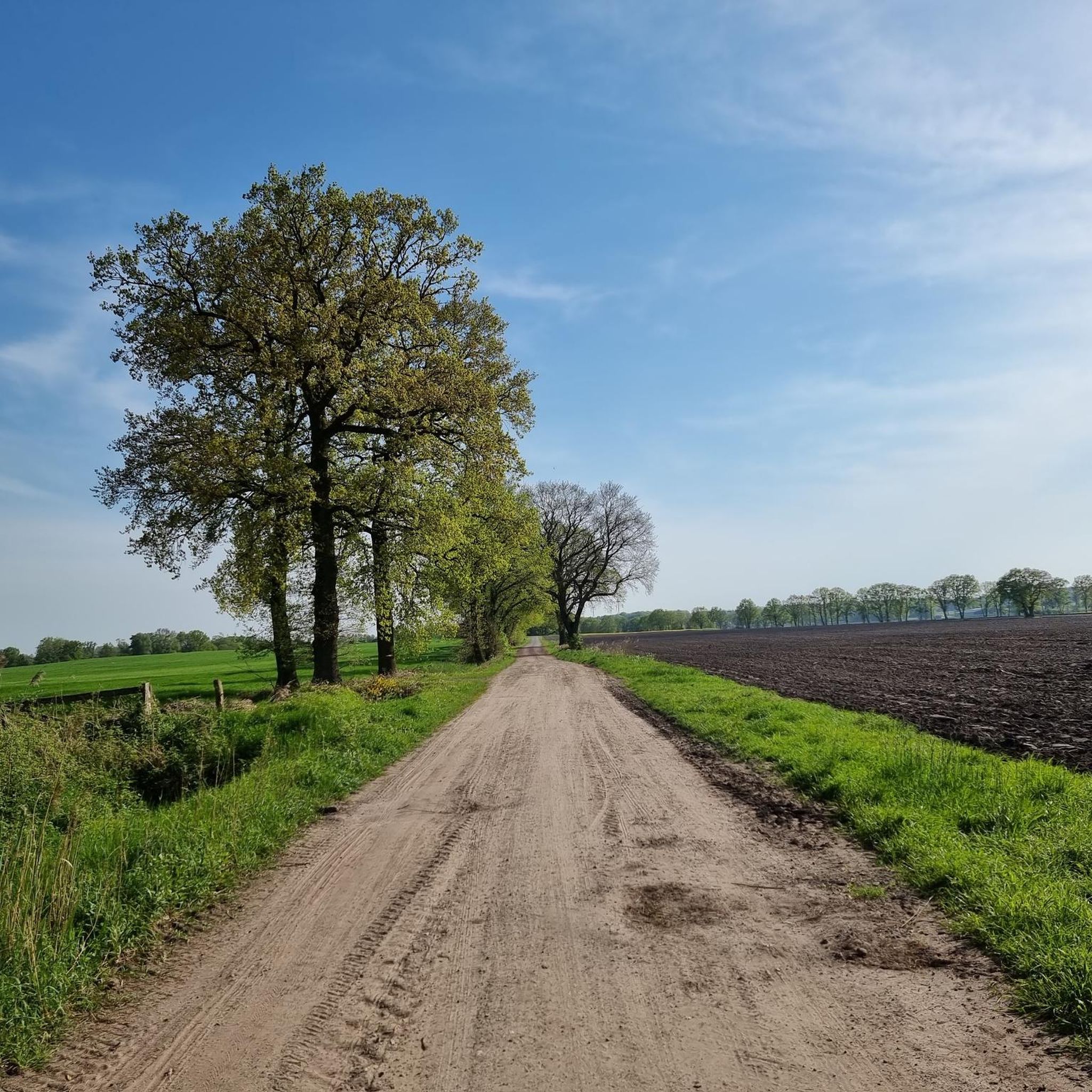
Jogging in Spanger Holz offers a diverse environment for outdoor activities, characterized by extensive woodlands and well-maintained paths. The region features varied terrain, including sandy paths, open fields, and small waterways, providing a natural setting for running. Notable natural features include the Everser Horn, a 54-meter-high geest remnant, and ancient burial mounds. These conditions make Spanger Holz suitable for a range of running experiences.
Best jogging routes in Spanger Holz
- The most popular jogging route is Running loop from Waller…
Last updated: October 1, 2026
5
runners
5.76km
00:36
30m
30m
Moderate run. Good fitness required. Mostly paved surfaces. Suitable for all skill levels.
8
runners
8.03km
00:50
40m
30m
Moderate run. Good fitness required. Mostly paved surfaces. Suitable for all skill levels.

4
runners
12.1km
01:16
20m
20m
Moderate run. Good fitness required. Mostly paved surfaces. Suitable for all skill levels.
4.0
(1)
4
runners
5.11km
00:33
20m
20m
Moderate run. Good fitness required. Mostly paved surfaces. Suitable for all skill levels.
4
runners
9.44km
00:58
10m
10m
Moderate run. Good fitness required. Mostly paved surfaces. Suitable for all skill levels.
Get access to more routes and recommendations from other explorers.
Already have an account?
Our route recommendations are based on thousands of hikes, rides, and runs completed by other people on komoot.
Start today with a free account
Your next adventure awaits.
Tips from the Community

Beautiful Ole School in Ahausen.
0
0

54th parallel with bench for resting and stretching.
2
0
Very nice rest area at the 53rd parallel.
0
0
Very nice running route Langwedel-Langwedelermoor-Völkersen-Langwedel. (approx. 10km) Most of the time it goes along very nice dirt roads.
0
0

Very nice place. Lots of interesting panels on history. The "Ahauser Herbst" once a year is a big event.
0
0

A nice picnic station in the evening
0
0
A nice picnic station
0
0

A nice resting place where you can take a break.
1
0
Frequently Asked Questions
How many running routes can I find in Spanger Holz?
Spanger Holz offers a wide selection of over 300 running routes. These include options for various fitness levels, with approximately 35 easy routes, over 240 moderate trails, and around 30 more challenging paths.
Are there any easy or beginner-friendly jogging trails in Spanger Holz?
Yes, Spanger Holz is well-suited for beginners and those looking for an easier run. Many paths are described as comfortable and shaded 'Waldspaziergänge' (forest walks). There are around 35 easy routes available, perfect for a gentle introduction to the area's natural beauty.
What kind of terrain can I expect on the running paths in Spanger Holz?
Runners in Spanger Holz will encounter diverse terrain, including comfortable 'Waldspaziergänge' (forest walks), 'Gravel-Strecken' (gravel routes), sandy paths, and open fields. You might also cross small waterways like the Rehnengraben, providing a varied and engaging running experience.
Are there any notable natural features or landmarks to see while running in Spanger Holz?
Absolutely! Spanger Holz is rich in natural and historical landmarks. You can explore the 54-meter-high Everser Horn, a significant geest remnant from the last ice age. The area also features ancient burial mounds, such as the Burial Mound at Weihbusch and a chain of early historical burial mounds near Düvelshagen. The picturesque Spange Forester's House is another prominent landmark.
Are the running routes in Spanger Holz suitable for families?
Many of the routes in Spanger Holz are family-friendly, especially those designated as easy forest walks. The NORDPFAD Wolfsgrund, which passes through Spanger Holz, is even barrier-free, making it accessible for a wider range of users, including families with strollers.
Can I bring my dog on the jogging trails in Spanger Holz?
Yes, Spanger Holz is generally dog-friendly. The extensive woodlands and varied paths provide a great environment for running with your canine companion. Always ensure your dog is under control and check for any local regulations regarding leashes.
Where can I find parking or public transport access for the running routes?
While specific parking details vary by starting point, the Gasthaus Der Heidkrug is often recommended as a convenient starting point for excursions, offering parking facilities. For public transport, it's best to check local bus routes connecting to villages surrounding Spanger Holz, such as Ahausen or Völkersen, which are common starting points for routes like the Running loop from Ahausen.
What do other runners enjoy most about jogging in Spanger Holz?
The running experience in Spanger Holz is highly rated by the komoot community, with an average score of 4.5 stars from over 200 reviews. Runners frequently praise the diverse environment, extensive woodlands providing shade, and the well-maintained paths that offer a natural and varied setting for their runs.
Are there any circular running paths in the area?
Yes, many of the running routes in Spanger Holz are designed as loops, offering convenient circular paths. Examples include the popular Running loop from Waller Moor and the Running loop from Holtum (Geest), allowing you to start and finish at the same point.
What is the typical length and duration of running routes in Spanger Holz?
Running routes in Spanger Holz vary in length and duration. For instance, the Running loop from Waller Moor is about 5.8 km (3.6 miles) and takes around 35 minutes. Longer options like the Running loop from Völkersen cover approximately 12.1 km (7.5 miles) and can take about 1 hour 15 minutes, offering choices for different training goals.
Are there places to eat or relax near the running trails?
Yes, after your run, you can find places to relax and refuel. The Gasthaus Der Heidkrug is a well-known guesthouse nearby, often recommended as a starting point, and offers a place to enjoy a meal. Additionally, the Haberloh Farm Café & Beer Garden loop from Völkersen suggests a route that includes a stop at a local café.
Most popular routes in Spanger Holz
Most popular attractions in Spanger Holz

Get inspired with the komoot mobile app


Explore more
Browse the best Running Trails & Routes in other regions.
