The best walks and hikes in Nienwalder Forst
4.7
(797)
2,867
hikers
192
hikes
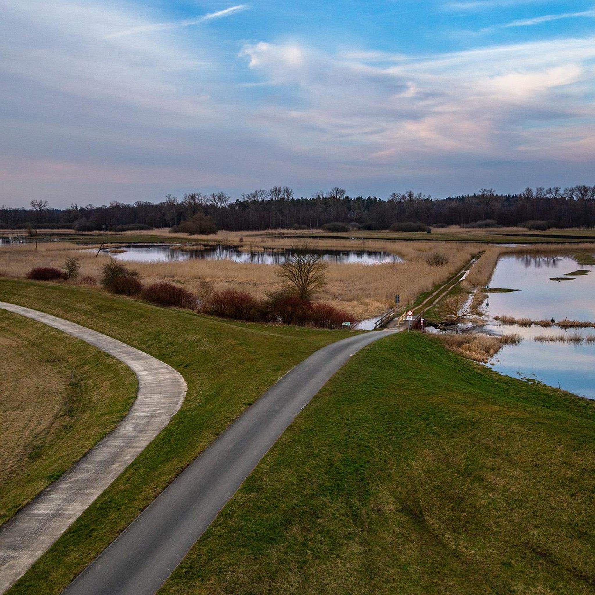
Hiking trails in Nienwalder Forst traverse a landscape characterized by dense woodlands and historical features. The region offers a network of routes, many of which incorporate views of the Gartower See and landmarks such as the Klaus-Bahlsen-Turm. Situated along the former inner-German border, the forest also features historical sites like the Grenzturm Bömenzien and remnants of the Grünes Band Deutschland. The terrain is generally flat, with minimal elevation changes.
Best hiking trails in Nienwalder Forst
- The most popular hiking route…
Last updated: May 16, 2026
5.0
(11)
29
hikers
8.61km
02:11
20m
20m
Moderate hike. Good fitness required. Easily-accessible paths. Suitable for all skill levels.
3.0
(1)
6
hikers
2.37km
00:36
0m
0m
Easy hike. Great for any fitness level. Easily-accessible paths. Suitable for all skill levels.

Sign up for free
1
hikers
8.46km
02:08
10m
10m
Moderate hike. Good fitness required. Easily-accessible paths. Suitable for all skill levels.
4
hikers
9.48km
02:23
10m
10m
Moderate hike. Good fitness required. Easily-accessible paths. Suitable for all skill levels.
1
hikers
9.36km
02:22
10m
10m
Moderate hike. Good fitness required. Easily-accessible paths. Suitable for all skill levels.
Get access to more routes and recommendations from other explorers.
Sign up for free
Already have an account?
Our route recommendations are based on thousands of hikes, rides, and runs completed by other people on komoot.
Start today with a free account
Your next adventure awaits.
Login or Signup


Tips from the Community

a piece of tangible history of the German division today with a rest area and stamp point
0
0
a new, more stable blue bench now stands in this memorable place
0
0
At this point, the West German area jutted pointedly into the GDR, the next place in the West is Wirl, hence Wirler Spitze as it seems, it was one of many visitor points to look into the East. Opposite the Spitze on the Kolonnenweg stood an observation tower (BT) a small sand hill or dune named Klocksberg, here you can move freely today, in all directions! There are some nature conservation projects: biotopes, pulling pines, etc. It should also be a place of remembrance and reflection. 2 posts of the border fence have remained
0
0

Hikers heading towards Wirler Spitze should take the BGS trail and not the bridle path suggested by komoot.
0
0
On the Altmark side, there is a rest area, unfortunately only in the shade, with information about nature conservation along the Green Belt.
0
0
Even today, it serves as a silent reminder to all who want to "shoot" at borders.
0
0
On the Lower Saxony side there is a meager seating area with a good view of the inland dune.
1
0

Great circular walk around the beautiful lake 💯🔝👍🏻😉‼️
2
0
Frequently Asked Questions
How many hiking trails are there in Nienwalder Forst?
Nienwalder Forst offers a wide selection of routes, with nearly 200 hiking trails available. These range from easy strolls to more challenging moderate loops, ensuring options for various fitness levels.
What kind of terrain can I expect on hikes in Nienwalder Forst?
The terrain in Nienwalder Forst is generally characterized by dense woodlands and is mostly flat, with minimal elevation changes. This makes many routes accessible and enjoyable for a relaxed hiking experience.
Are there any historical landmarks to see while hiking in Nienwalder Forst?
Yes, Nienwalder Forst is rich in history, situated along the former inner-German border. You can explore sites like the Grenzturm Bömenzien and remnants of the Grünes Band Deutschland. Another significant historical point is the Simon Cross Memorial – GDR Border Marker 324, offering a glimpse into the region's past.
Can I find routes with scenic viewpoints or lake views?
Absolutely. Several routes offer picturesque views, notably the View of Lake Gartow – Klaus Bahlsen Tower loop from Nienwalde, which provides scenic vistas of the Gartower See. The Klaus-Bahlsen-Turm itself is a prominent landmark that can offer views of the surrounding forest.
Are there family-friendly hiking options in Nienwalder Forst?
Yes, Nienwalder Forst has many easy trails suitable for families. For instance, the Klaus Bahlsen Tower loop from Nienwalde is an easy 2.4 km path that takes about 37 minutes to complete, perfect for a family outing.
Are dogs allowed on the hiking trails in Nienwalder Forst?
Generally, dogs are welcome on hiking trails in Nienwalder Forst. It's always recommended to keep them on a leash, especially in areas with wildlife or near other hikers, to ensure a pleasant experience for everyone.
Are there circular hiking routes available?
Yes, Nienwalder Forst features numerous circular hiking routes. Examples include the Hiking loop from Nienwalde, which is an easy 2.4 km loop, and the moderate Green Belt Germany – Grenzturm Bömenzien loop from Nienwalde, covering 8.5 km.
What do other hikers say about the trails in Nienwalder Forst?
The trails in Nienwalder Forst are highly regarded by the komoot community, boasting an average rating of 4.7 stars from over 760 reviews. Hikers often praise the quiet woodlands, well-marked paths, and the blend of natural beauty with historical points of interest.
Is there public transport access to Nienwalder Forst?
While Nienwalder Forst is primarily accessed by car, some nearby villages may have limited bus connections. For specific public transport options to trailheads, it's advisable to check local transport schedules for routes serving Nienwalde or surrounding areas.
Where can I park when visiting Nienwalder Forst for a hike?
Parking is generally available at or near the starting points of many trails, particularly in and around the village of Nienwalde. Look for designated parking areas or roadside spots that are safe and permitted.
What is the best time of year to go hiking in Nienwalder Forst?
Nienwalder Forst offers enjoyable hiking experiences throughout the year. Spring brings lush greenery and blooming flora, summer provides pleasant forest shade, and autumn transforms the landscape with vibrant colors. Even in winter, the forest can be beautiful for a crisp walk, though some paths might be muddy or icy.
Are there any particularly challenging hikes in Nienwalder Forst?
While Nienwalder Forst is known for its generally flat terrain, there are a few routes classified as difficult, though these are fewer in number. Most trails are easy to moderate, focusing more on distance and exploration rather than steep ascents.
Most popular routes in Nienwalder Forst

Get inspired with the komoot mobile app


Explore more
Browse the best Hikes in other regions.
