The best walks and hikes in Holzenden
4.6
(630)
2,379
hikers
259
hikes
Hiking in Holzenden offers a variety of routes through a landscape characterized by forests, meadows, and riverine areas. The region is situated near the Elbe River, providing trails that often feature views of the river and its surrounding natural habitats. The terrain is generally flat, with minimal elevation changes, making it accessible for a wide range of hikers. This area is known for its natural beauty and tranquil paths.
Best hiking trails in Holzenden
- The most popular hiking route is…
Last updated: May 16, 2026
14
hikers
Easy hike. Great for any fitness level. Easily-accessible paths. Suitable for all skill levels.
3.0
(1)
6
hikers
Moderate hike. Good fitness required. Easily-accessible paths. Suitable for all skill levels.

Sign up for free
5.0
(3)
11
hikers
Easy hike. Great for any fitness level. Easily-accessible paths. Suitable for all skill levels.
5.0
(1)
8
hikers
Easy hike. Great for any fitness level. Easily-accessible paths. Suitable for all skill levels.
5.0
(1)
5
hikers
3.59km
00:55
10m
10m
Easy hike. Great for any fitness level. Easily-accessible paths. Suitable for all skill levels.
Get access to more routes and recommendations from other explorers.
Sign up for free
Already have an account?
Our route recommendations are based on thousands of hikes, rides, and runs completed by other people on komoot.
Start today with a free account
Your next adventure awaits.
Login or Signup
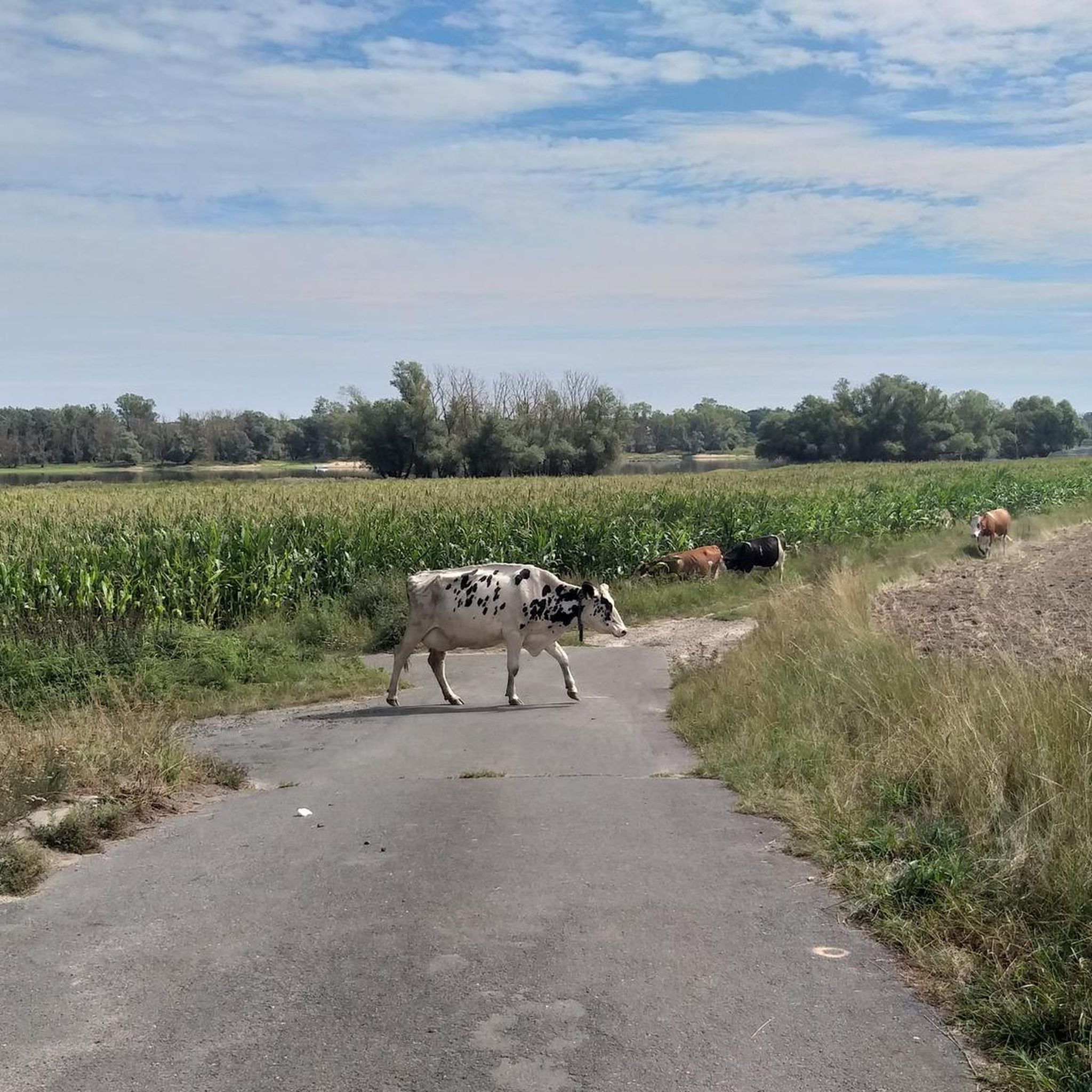
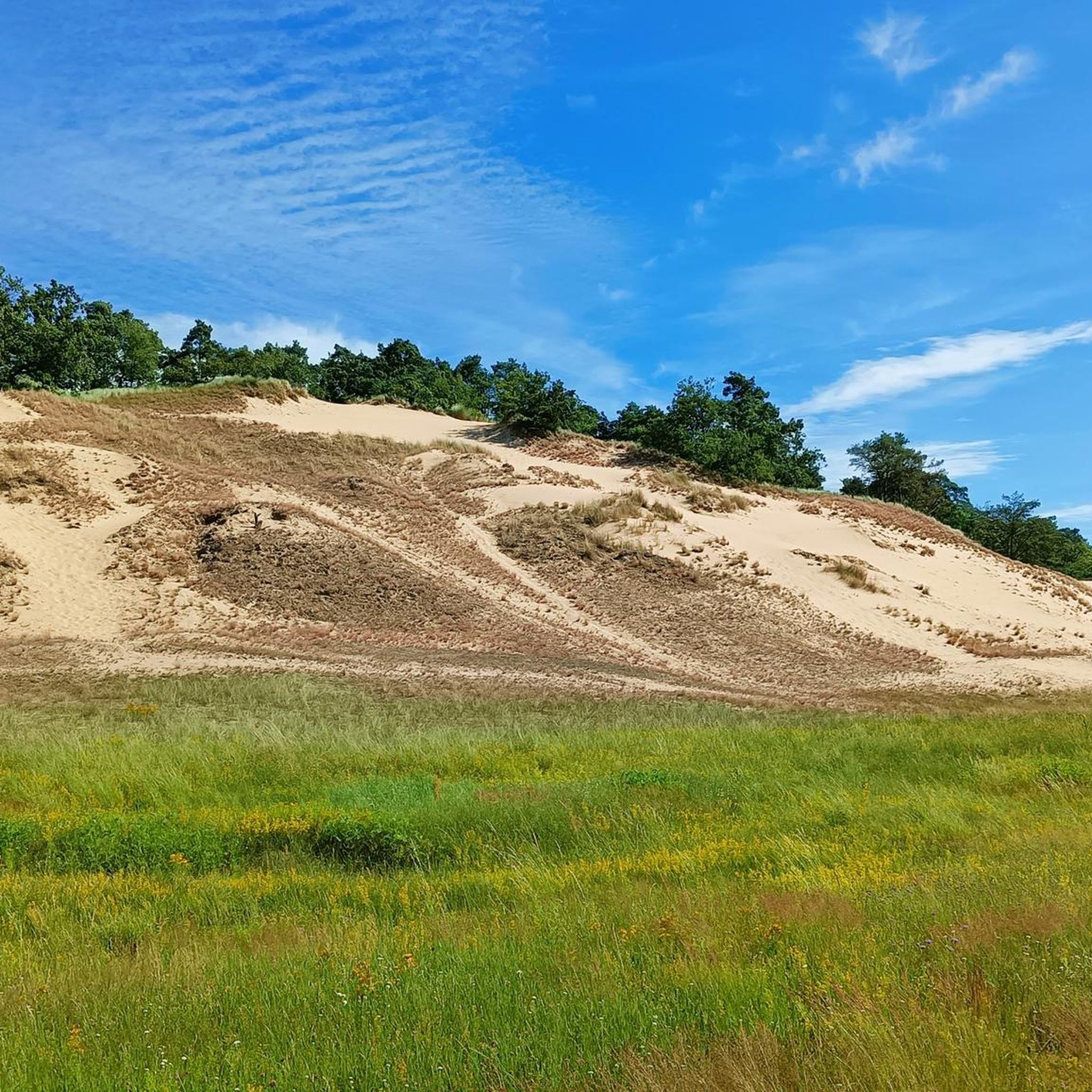
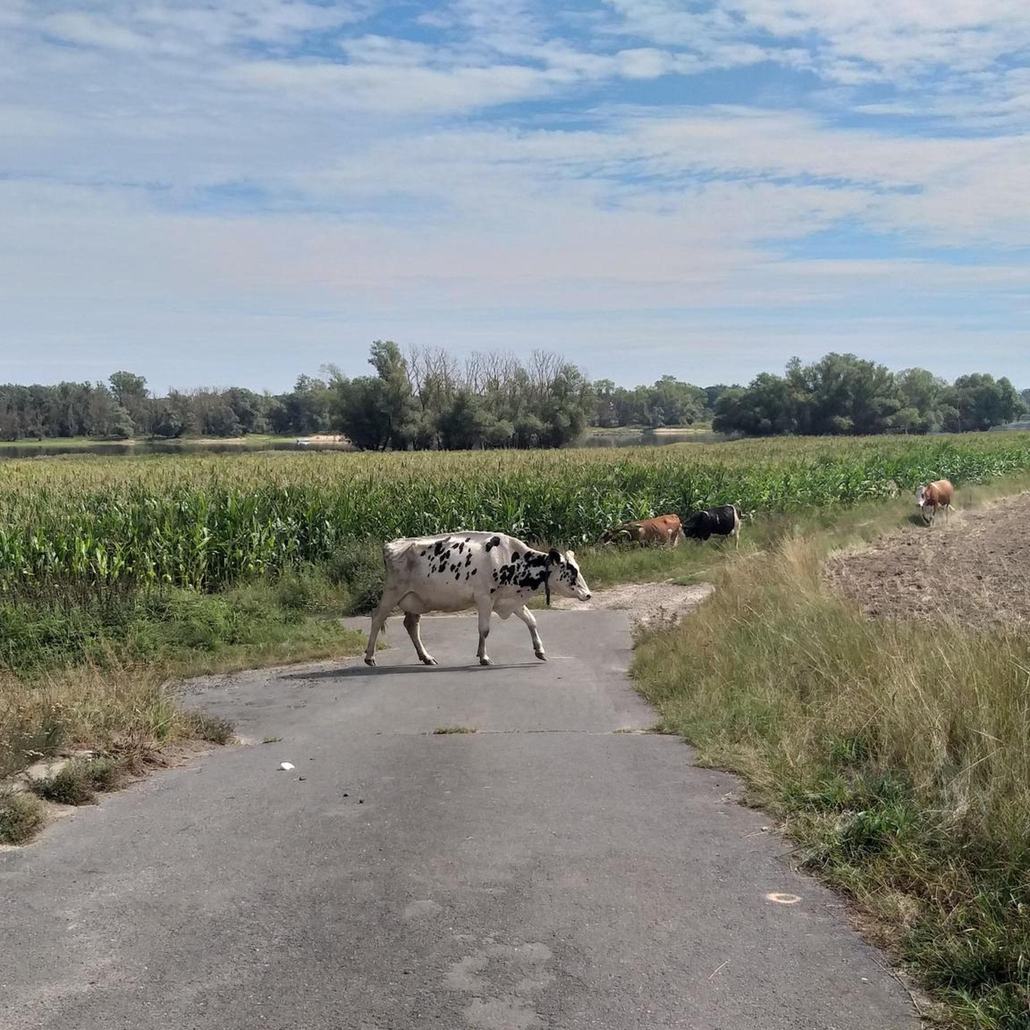
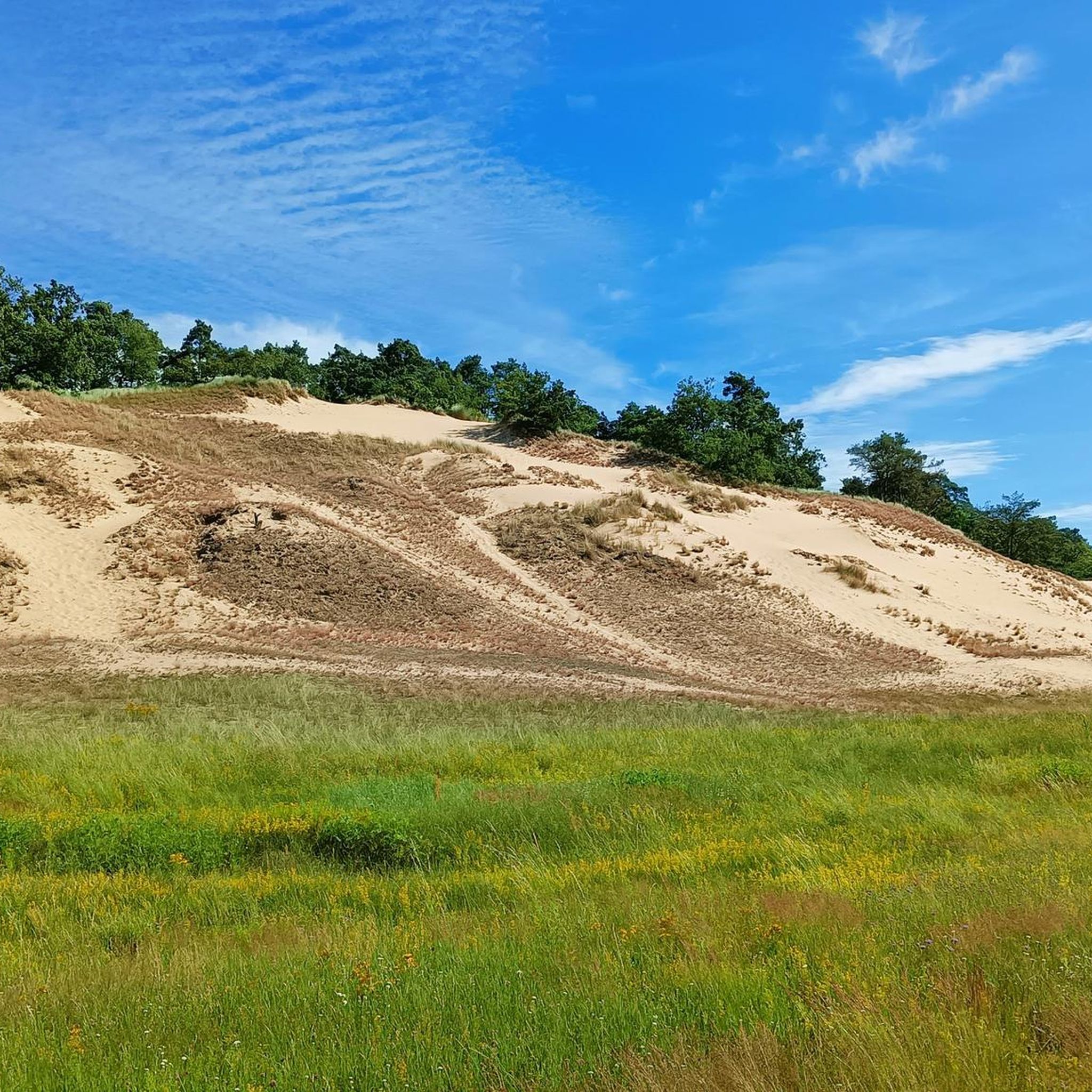
Tips from the Community

A small village church on the main street. To the rear, one has a beautiful view over the Elbe meadows.
1
0


Nice little camel farm. The owners are very nice. There are parking spaces for mobile homes right next to the pasture.
2
0

Beautiful path along the banks of the Elbe. Here you can sometimes observe birds.
0
0

At the so-called border triangle there is a wide view over the landscape along the Elbe
3
0

Lookout tower from which you have a very nice view of the Elbe and the surrounding area.
0
0

Great view. There is also a barbecue area, a hut and a parking lot - a good starting point for bicycle tours.
2
0

Nice garden cafe in an idyllic location!
1
0
Frequently Asked Questions
How many hiking trails are there in Holzenden?
Holzenden offers a wide selection of hiking routes, with over 260 trails available for exploration. These routes cater to various preferences, ranging from easy strolls to more moderate excursions through forests, meadows, and riverine areas.
Are there easy hiking trails suitable for beginners in Holzenden?
Yes, Holzenden is an excellent destination for beginners. The region features over 160 easy routes, characterized by generally flat terrain and minimal elevation changes. An example is the Flooded Heathland View loop from Langendorf, Elbe, which is just 3.6 km long and takes about an hour to complete.
What kind of landscapes can I expect to see while hiking in Holzenden?
Holzenden's landscape is defined by a mix of forests, open meadows, and riverine areas, particularly along the Elbe River. You'll find tranquil paths offering views of the water and surrounding natural habitats. The terrain is generally flat, making for pleasant walks.
Are there any circular walks in Holzenden?
Yes, many of the trails in Holzenden are designed as circular routes, allowing you to start and end at the same point. A popular option is the Stork Nest on Tower – Camels in Wendland Brandleben loop from Langendorf, Elbe, a 6.4 km trail that takes you through open landscapes and past local landmarks.
What are some scenic viewpoints or interesting landmarks along the trails in Holzenden?
While hiking in Holzenden, you can discover several interesting points. The Torii Tower Gusborn offers a unique sight, and the Paltrock Windmill Quickborn is another notable landmark. For nature lovers, the Wüste Gobi Biotope Near Langendorf provides an interesting natural area to explore.
Are the hiking trails in Holzenden dog-friendly?
Many trails in Holzenden are suitable for dogs, especially those through forests and open meadows. Given the natural setting and river paths, it's generally a good area for walking with your canine companion. Always ensure your dog is on a leash where required and respect local wildlife.
What do other hikers enjoy most about hiking in Holzenden?
The komoot community highly rates hiking in Holzenden, with an average score of 4.6 stars from over 600 reviews. Hikers often praise the tranquil river paths, the diverse mix of forested sections and open meadows, and the accessibility of routes for various skill levels.
Are there any moderate hiking options for those looking for a bit more challenge?
Yes, Holzenden also offers moderate trails for hikers seeking a slightly longer or more varied experience. The Flooded Heathland View – Elbufer Forest Path loop from Werder Besandten is a popular moderate route, spanning 10.2 km and winding through forested areas with glimpses of heathland.
Is there public transport access to the hiking areas in Holzenden?
While specific public transport connections to every trailhead can vary, Holzenden is a municipality within a region that typically has some public transport options. For detailed information on reaching specific starting points, it's advisable to check local bus schedules or regional transport websites.
Where can I find parking for hikes in Holzenden?
Parking facilities are generally available near popular trailheads and in the villages within Holzenden. Many routes, especially those starting from places like Langendorf or Werder Besandten, will have designated parking areas for hikers. It's recommended to check the specific tour details on komoot for parking suggestions for individual routes.
Are there any family-friendly walks in Holzenden?
Absolutely. With over 160 easy routes and generally flat terrain, Holzenden is very suitable for family outings. Trails along the Elbe River or through open meadows provide safe and enjoyable experiences for all ages. The shorter loop trails are particularly good for families with children.
Most popular routes in Holzenden
Most popular attractions in Holzenden

Get inspired with the komoot mobile app


Explore more
Browse the best Hikes in other regions.
