The best walks and hikes in Toppenstedter Wald
4.6
(11641)
40,571
hikers
32
hikes
Hiking trails in Toppenstedter Wald are situated within a protected natural landscape in the Harburg region, part of the larger Lüneburger Heide Nature Park. The area features extensive, near-natural deciduous forests, including beech forests and alder-dominated riparian forests along small stream valleys. Its varied terrain, a result of its geological past as a terminal moraine, contributes to diverse habitats. This region is designated as a Fauna-Flora-Habitat (FFH) area and a Landschaftsschutzgebiet, underscoring its ecological significance.
Best hiking trails in Toppenstedter…
Last updated: October 7, 2026
5.0
(5)
25
hikers
Easy hike. Great for any fitness level. Easily-accessible paths. Suitable for all skill levels.
3.0
(1)
16
hikers
Hard hike. Very good fitness required. Easily-accessible paths. Suitable for all skill levels.

4.7
(44)
304
hikers
2.90km
00:46
30m
30m
Easy hike. Great for any fitness level. Easily-accessible paths. Suitable for all skill levels.
4.0
(4)
26
hikers
Moderate hike. Good fitness required. Easily-accessible paths. Suitable for all skill levels.
3.9
(9)
24
hikers
Easy hike. Great for any fitness level. Easily-accessible paths. Suitable for all skill levels.
Get access to more routes and recommendations from other explorers.
Already have an account?
Our route recommendations are based on thousands of hikes, rides, and runs completed by other people on komoot.
Start today with a free account
Your next adventure awaits.
Popular around Toppenstedter Wald





Tips from the Community

Great for kids to observe
0
0
Tame and totally cuddly
0
0


Beautiful corner, quietly located and an absolute highlight due to the steep section down to the stream (pushed or slid down with the rear brake locked). The climb from Toppenstedt coming over the cobblestones is already a challenge.
0
0

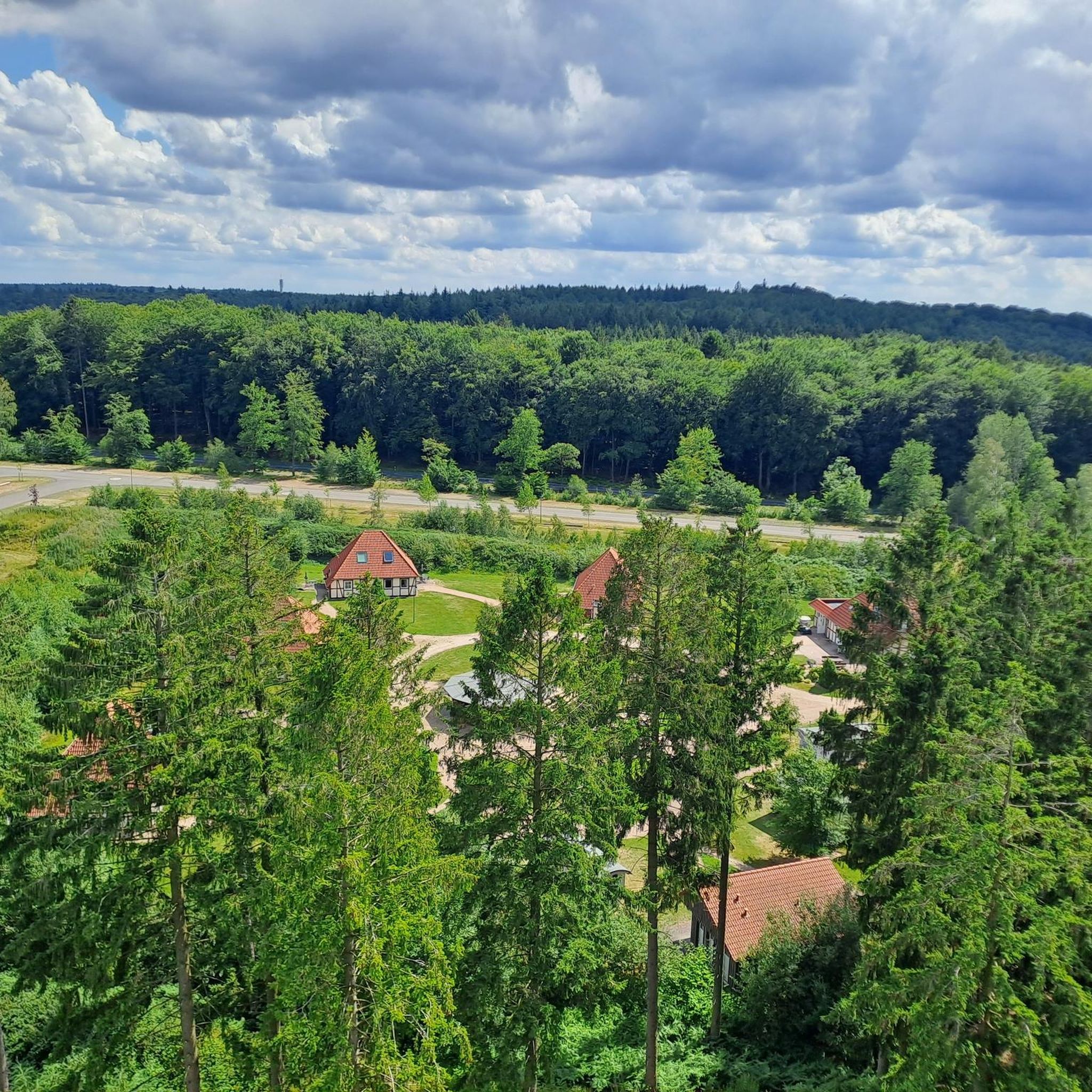
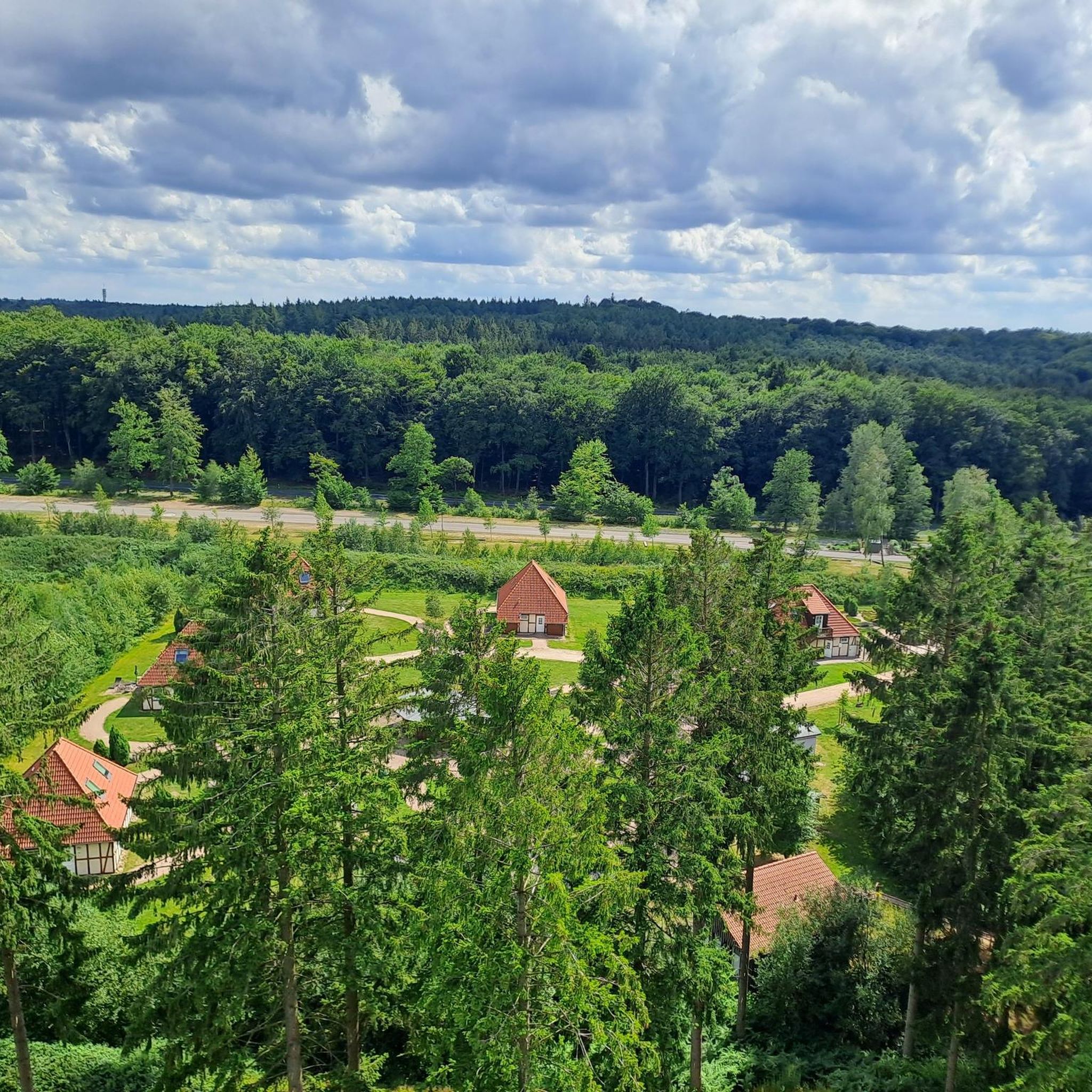
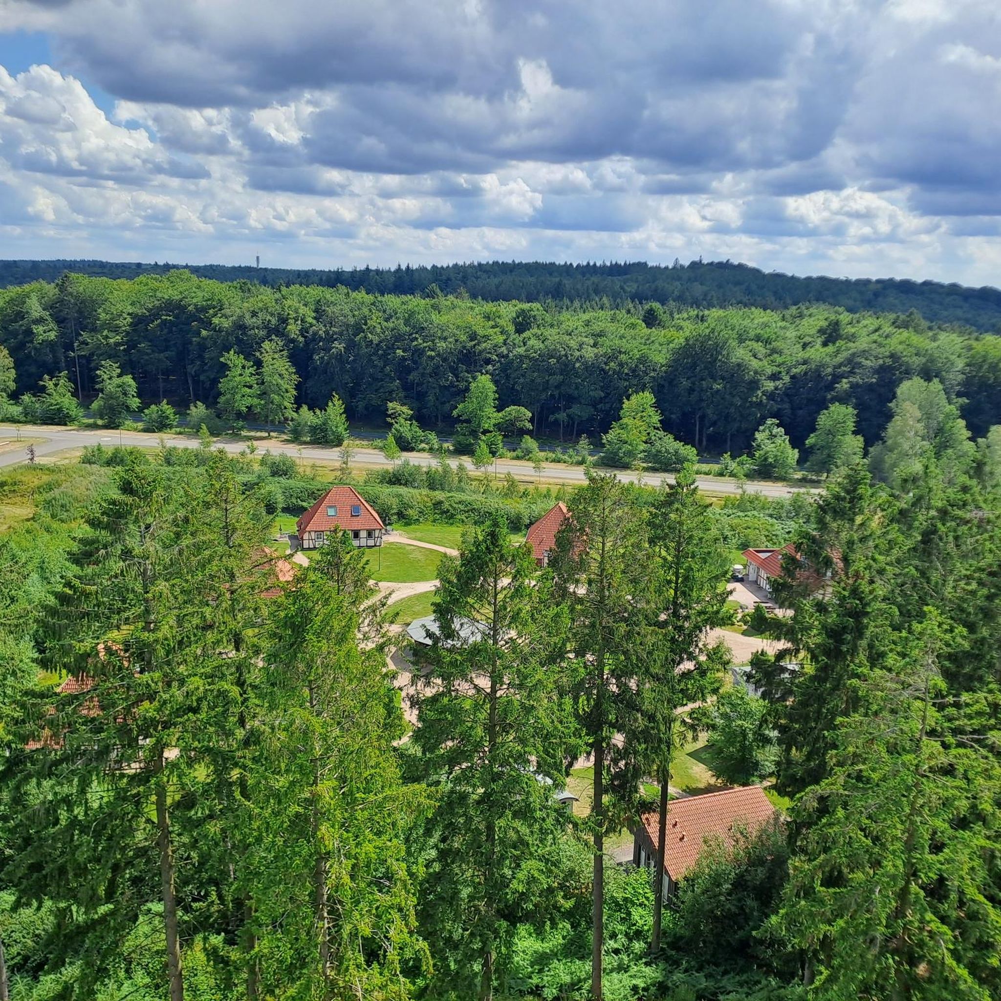
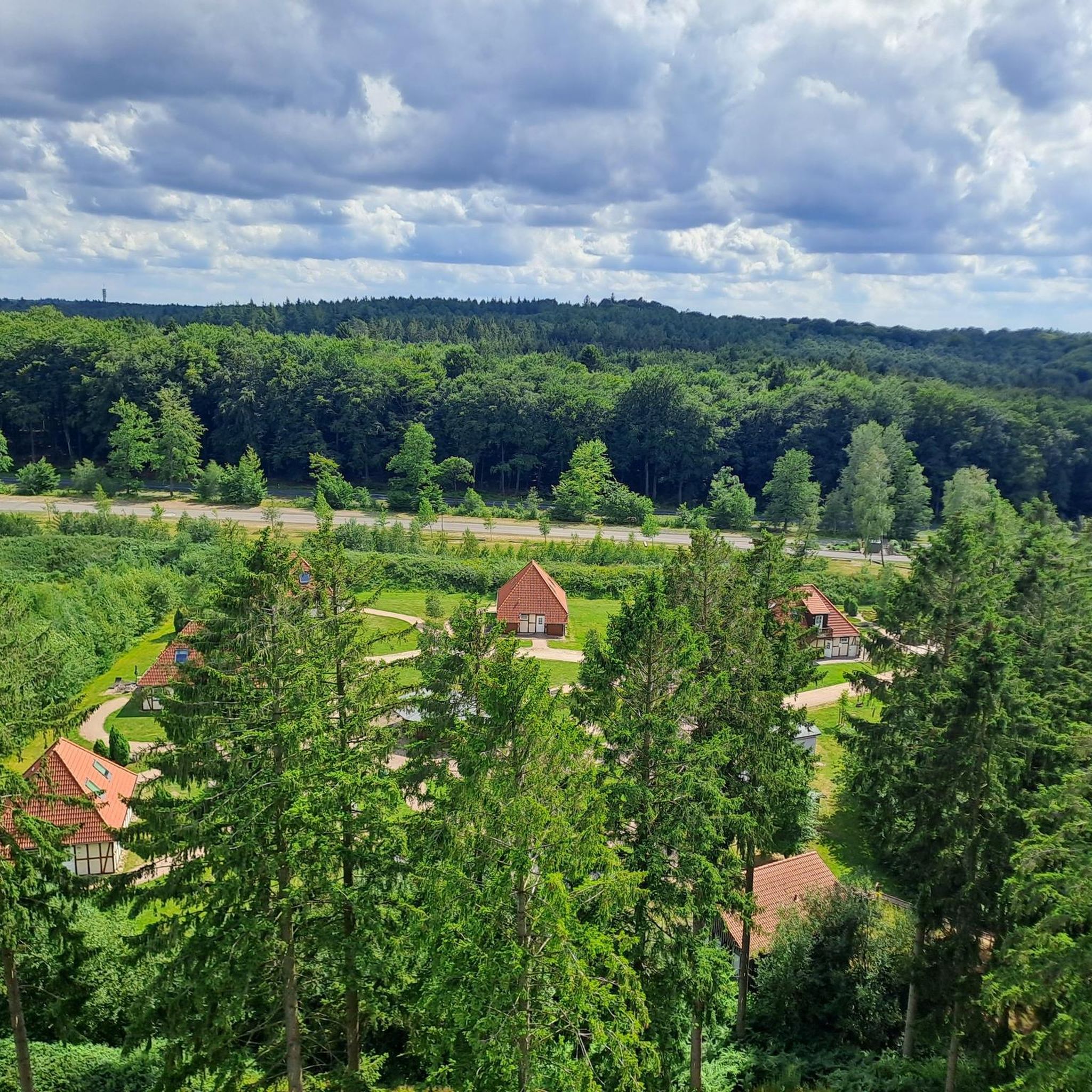
There is a wonderful view from the tower
2
1

The 45-meter-high observation tower was truly impressive. To reach the top, you can either take the stairs or the elevator (the treetop walkway also leads to the tower and ends approximately halfway up the tower, at a height of about 22 meters). On a clear day, you have a very expansive view from there. From there, I was able to see and photograph, for example, the Hamburg skyline, including the Elbphilharmonie, the St. Michael's Church, the TV tower, the cranes in the harbor, and more. At such a great distance, atmospheric turbulence can be a problem, which is why the Hamburg skyline is somewhat blurred in my photos, but that's unavoidable; with such atmospheric disturbances, even precise focusing and fast shutter speeds don't produce sharp images. But the expansive view was still very impressive.
2
1

You children will always find places to play here.
0
1

Not far from the entrance, these pretty white pelicans greet you.
1
1
Frequently Asked Questions
How many hiking trails are available in Toppenstedter Wald?
Toppenstedter Wald offers a diverse network of over 30 hiking trails, catering to various preferences and fitness levels. These routes explore the region's extensive deciduous forests and varied terrain.
What kind of landscapes will I encounter while hiking in Toppenstedter Wald?
You'll experience a rich variety of landscapes, primarily extensive, near-natural deciduous forests, including significant woodruff beech forests and ancient acidic oak forests. The terrain features a 'very moved relief' with hills and valleys, alongside small stream valleys with alder-dominated riparian forests, creating a dynamic hiking environment.
Are there family-friendly hiking options in Toppenstedter Wald?
Yes, Toppenstedter Wald has several easy routes suitable for families. An excellent option is the Kamchatka Bear Enclosure loop from Wildpark Lüneburger Heide, which is 2.8 km long and takes about 45 minutes. This route is particularly engaging for children due to its proximity to the wildlife park.
Can I bring my dog on the hiking trails?
While the guide data doesn't explicitly state dog policies, generally, dogs are welcome on trails in natural areas like Toppenstedter Wald, provided they are kept on a leash to protect wildlife and other hikers. Always check local signage for specific rules, especially near protected areas or wildlife enclosures.
Are there any circular hiking routes available?
Yes, many of the trails in Toppenstedter Wald are circular. For example, the popular Ahrberg Summit (143 m) – Astrid's Aussicht Shelter loop from Wildpark Lüneburger Heide is an easy 7.4 km circular route. Another option is the Heide Himmel Treetop Walk – Heide Himmel Observation Tower loop from Wildpark Lüneburger Heide, a moderate 10.1 km circular path.
What attractions or points of interest can I see along the hiking trails?
Beyond the natural beauty, you can explore several attractions. The Heide Himmel Treetop Walk offers unique perspectives of the forest canopy and an observation tower. Nearby, the Lüneburg Heath Wildlife Park provides opportunities to observe local wildlife. You might also encounter natural monuments like the Sweet Chestnut (Castanea sativa) or the Walnut Tree (Juglans regia).
What is the best time of year to hike in Toppenstedter Wald?
Toppenstedter Wald is beautiful year-round. The extensive deciduous forests are particularly stunning in spring with fresh green foliage and blooming woodruff, and in autumn with vibrant fall colors. Summer offers cool shade under the dense canopy, while winter can provide peaceful, crisp walks, though some paths might be muddy or icy.
Are there options for longer, more challenging hikes?
Yes, for those seeking a more demanding experience, the Sudermühlen Water Mill – Schmale Aue Rest Area loop from Wildpark Lüneburger Heide is a difficult 20.7 km route. This longer trail explores the area around a historic water mill and a rest area, traversing varied forest and stream valley landscapes.
Where can I park when visiting Toppenstedter Wald?
Parking is generally available at key access points, often near popular trailheads or attractions like the Lüneburg Heath Wildlife Park, which serves as a common starting point for many routes. Look for designated parking areas at the entrances to the forest or near specific points of interest.
How can I reach Toppenstedter Wald by public transport?
While direct public transport options might be limited to the immediate trailheads, the region is generally accessible via bus services connecting to nearby towns. From these towns, you may need to walk or take a short taxi ride to reach the forest entrances. It's advisable to check local bus schedules for the Lüneburg Heath region.
What wildlife might I encounter during a hike?
Toppenstedter Wald is a biodiversity hotspot. You might spot various bird species, deer, and smaller mammals. The oak trees support a high insect diversity, which in turn feeds many butterfly caterpillars. The area is also known to be a habitat for 15 species listed on the Red List, including the fire salamander in the woodruff beech forests.
What do other hikers enjoy most about the trails in Toppenstedter Wald?
The trails in Toppenstedter Wald are highly rated by the komoot community, with an average score of 4.6 stars from over 10,700 reviews. Hikers often praise the extensive, near-natural deciduous forests, the varied terrain with gentle ascents and descents, and the peaceful atmosphere of the stream valleys. The well-maintained paths and the ecological significance of the area are also frequently highlighted.
Are there any shorter, easy walks for a quick outing?
Absolutely. For a brief and easy stroll, consider the Jochen's Hut – Old Beech Tree at Sevekenberg loop from Wildpark Lüneburger Heide. This route is 4.1 km long and can be completed in about an hour, offering a pleasant walk through the woodlands.
Most popular routes in Toppenstedter Wald
Most popular attractions in Toppenstedter Wald

Get inspired with the komoot mobile app


Explore more
Browse the best Hikes in other regions.
