The 9 Most Amazing Peaks around Pracht
Best mountain peaks around Pracht offer diverse outdoor experiences in the Rhineland-Palatinate region of western Germany. While the municipality of Pracht has a lower elevation, the surrounding area provides various points of interest for hikers and nature enthusiasts. These include viewpoints and summits that provide panoramic vistas and opportunities for local exploration. The area is characterized by its natural landscapes, suitable for recreational activities.
Best mountain peaks around Pracht
- The most popular mountain peaks is Raiffeisen Tower on Beulskopf,…
Last updated: May 11, 2026
Raiffeisen Tower on Beulskopf
Highlight • Viewpoint
Translated by Google •
Tip by

Hohenschauberg (389 m)
Highlight • Summit
Translated by Google •
Tip by

Sign up now to discover places like this
Get recommendations on the best single tracks, peaks, & plenty of other exciting outdoor places.
Sign up for free
View from Hohes Wäldchen
Highlight • Viewpoint
Translated by Google •
Tip by

Hoher Schaden
Highlight • Summit
Translated by Google •
Tip by

Studchen Summit Viewpoint (311 m)
Highlight • Viewpoint
Translated by Google •
Tip by

Sign up for free to discover even more peaks around Pracht.
Sign up for free
Already have an account?
Start today with a free account
Your next adventure awaits.
Login or Signup
Tips from the Community

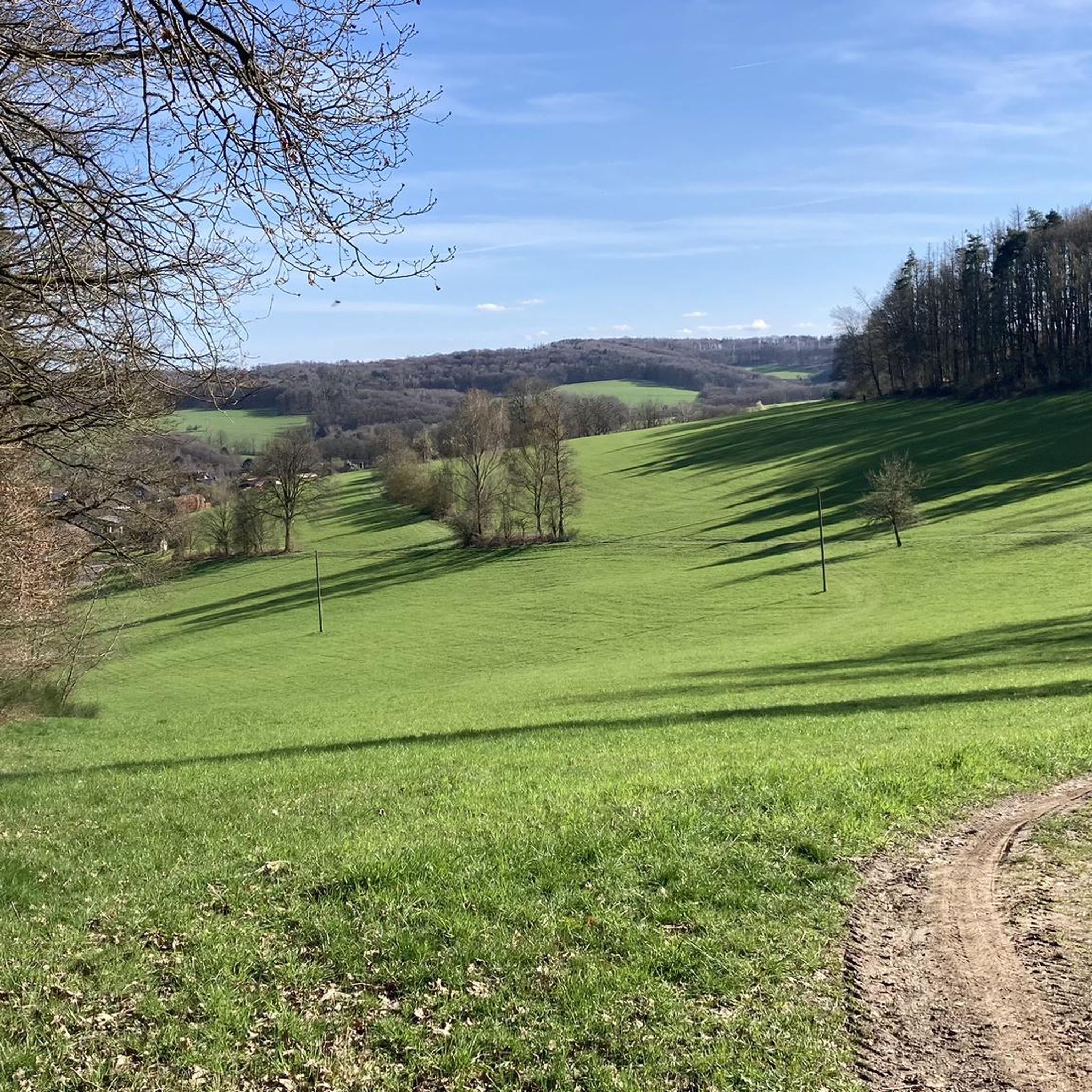
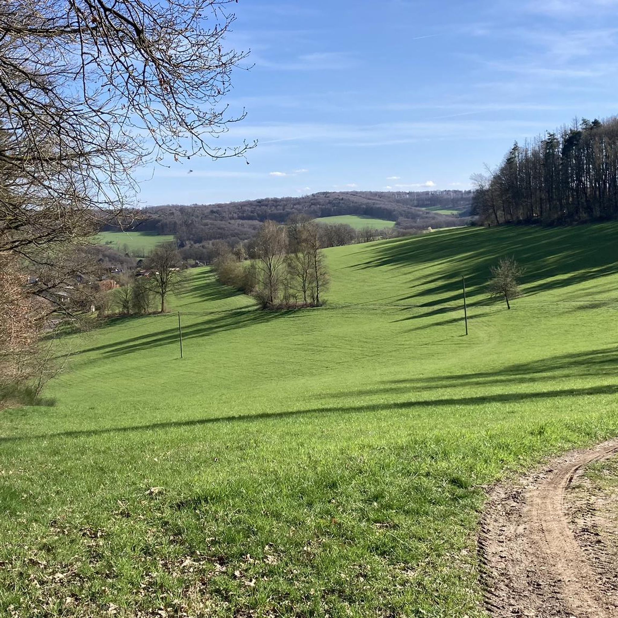
Stamp point for the 6th stage of the Natursteig Sieg and the Erlebnisweg Sieg „Wälderweg“. Why this was set up about 150 m away from the hiking trail is not entirely clear to me. Just because of the few meters of altitude on the Studchen?
1
0

The Hohe Schaden is not 988 m but only 388.2 m above sea level
0
0

Great view and then an interesting trail down to Bitze follows, but the climb is challenging without an e-bike
0
0

Why is the mountain called that?
0
0

Here you can sign the stamp for stage 6 of the Natursteig Sieg with a pencil and stamp booklet.
1
0

If a peak has a name like that, then you have to go up there, right?
2
0

Great all-round view from the former Patriot missile defense position. The Mount of Olives is clearly visible. On the tar road, which leads in the direction of Waldbröl/ Panabora (Römerstrasse), the many clearings open up completely new, also very beautiful views of the country.
0
0

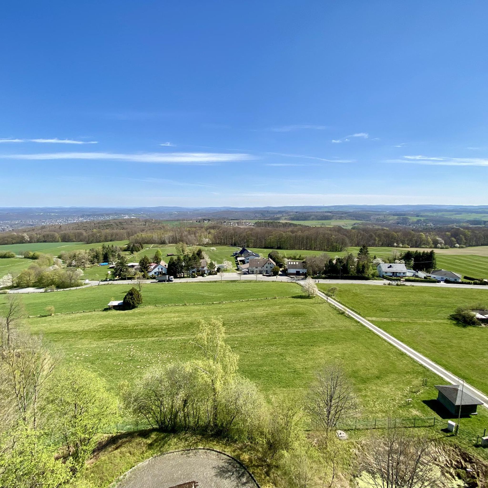
Anyone who has mastered the 177 steps up will be rewarded with a fantastic panoramic view.
5
0
Frequently Asked Questions
What are the most popular mountain peaks and viewpoints around Pracht?
The most popular spots include the Raiffeisen Tower on Beulskopf, which offers panoramic views from its 35-meter height after climbing 180 steps. Another highly-rated location is the View from Hohes Wäldchen, a viewpoint and summit providing vistas towards the Siebengebirge and Westerwald. Visitors also appreciate Hoher Schaden, the highest elevation of the Eitorf municipality and Leuscheid forest area.
Are there family-friendly mountain peaks or viewpoints near Pracht?
Yes, the View from Hohes Wäldchen is categorized as family-friendly. Additionally, the Studchen Summit Viewpoint (311 m) is also suitable for families, offering a gorgeous view and serving as a stamp point for hikers.
What kind of views can I expect from the mountain peaks around Pracht?
From the Raiffeisen Tower on Beulskopf, you can expect a gigantic, all-round panoramic view, ideal for photographers. The View from Hohes Wäldchen provides clear views towards the Siebengebirge and Westerwald. The Studchen Summit Viewpoint (311 m) also offers a beautiful perspective of the surrounding landscape.
What natural landmarks or features can I find on these peaks?
Many peaks around Pracht are natural high points within forested areas. For example, Hohes Wäldchen is a nature reserve with biotope types like dwarf shrub heather and lean grassland. Hoher Schaden Summit features a landmark and a small idyllic rest bench, framed by forest, offering views to the blue mountains of the Westerwald.
Are there historical sites associated with any of the peaks?
Yes, the View from Hohes Wäldchen is located on a former military site that was used as an air defense radar position until the late 1980s. The site has since been converted into a nature reserve, with only roads and foundations remaining from its past use.
What outdoor activities can I do near the mountain peaks around Pracht?
The region offers various outdoor activities, primarily hiking. You can find easy hikes like the 'Forest Stream in Westerwald – Pumptrack Westerwald loop from Pracht' or more moderate options such as the 'Imhausen Quarry – Forest Stream in Westerwald loop from Pracht'. For running, trails like 'Haderschen Pathway – Waldschwimmbad Hamm loop from Hamm' are available. You can explore these and more routes on the Hiking around Pracht guide.
Are there specific hiking trails that lead to these viewpoints?
Yes, several hiking trails lead past these beautiful spots. For instance, the Studchen Summit Viewpoint (311 m) is located on the natural trail Sieg and the forest route. The Hoher Schaden Summit is accessible via MTB single trails and offers a striking viewpoint.
What do visitors enjoy most about the mountain peaks around Pracht?
Visitors particularly enjoy the panoramic views, especially from the Raiffeisen Tower on Beulskopf, which is praised for its extensive vistas. The natural beauty and the opportunity for local exploration, including discovering former military sites turned nature reserves like Hohes Wäldchen, are also highly valued.
What is the elevation of the notable peaks in the Pracht area?
The Raiffeisen Tower stands on the 388.2-meter high Beulskopf. The Hohes Wäldchen is approximately 378 meters, making it the highest point in the Nutscheid. Hoher Schaden reaches 388 meters, being the highest elevation of the municipality Eitorf and the Leuscheid forest area. The Studchen Summit Viewpoint is at 311 meters.
Are there any specific tips for visiting the Raiffeisen Tower on Beulskopf?
Yes, visitors recommend climbing the 180 steps for a great all-round view. The railing of the viewing platform has markers indicating sights and towns, which is helpful. It's also noted as an ideal spot for photographers, especially on clear days, due to the gigantic panoramic view.
Can I find information about the local area or region of Pracht?
The municipality of Pracht is located in the district of Altenkirchen, in Rhineland-Palatinate, western Germany. While the municipality itself has a lower elevation, the surrounding area offers various points of interest for nature enthusiasts. You can find more general information about Pracht on Wikipedia.
Most popular routes around Pracht
Most popular attractions around Pracht

Get inspired with the komoot mobile app


Explore more
See even more amazing summits around Pracht with these guides:
