The best walks and hikes in Skærbæk Plantage
4.5
(200)
1,307
hikers
113
hikes
Hiking in Skærbæk Plantage offers a network of trails through varied landscapes in Central Denmark. The region is characterized by extensive forests, gentle rolling terrain, and open heathland. Hikers can expect paths that traverse woodlands and provide views of the surrounding countryside.
Best hiking trails in Skærbæk Plantage
- The most popular hiking route is Skærbæk Forest hiking loop, a 4.4 miles (7.0 km) trail that takes 1 hour 52 minutes to complete. This easy route leads through the heart of the forest.
- Another top favourite among local hikers is Bryrup Vrads Heritage Railway – View from Velling Gavl loop from Vrads, a moderate 6.8 miles (10.9 km) path. This trail features views from Velling Gavl and follows sections near the heritage railway.
- Local hikers also love the Bryrup Vrads Heritage Railway – Heden Heathland loop from Vrads, a 5.4 miles (8.7 km) trail leading through open heathland, often completed in about 2 hours 20 minutes.
- Hiking in Skærbæk Plantage is defined by dense forests, open heathland, and gentle hills. The network offers options for different ability levels, from easy forest walks to more moderate trails.
- The routes in Skærbæk Plantage are highly rated by the komoot community with an average score of 4.4 stars from over 190 reviews. More than 1300 hikers have used komoot to explore Skærbæk Plantage's varied terrain.
Last updated: July 5, 2026
3
hikers
7.01km
01:52
80m
80m
Easy hike. Great for any fitness level. Easily-accessible paths. Suitable for all skill levels.
13
hikers
10.9km
03:06
250m
250m
Moderate hike. Good fitness required. Easily-accessible paths. Suitable for all skill levels.

Sign up for free
4.5
(4)
9
hikers
8.74km
02:21
110m
110m
Moderate hike. Good fitness required. Easily-accessible paths. Suitable for all skill levels.
4.0
(1)
13
hikers
6.88km
01:55
130m
130m
Easy hike. Great for any fitness level. Easily-accessible paths. Suitable for all skill levels.
4.3
(3)
7
hikers
7.60km
02:02
90m
90m
Moderate hike. Good fitness required. Easily-accessible paths. Suitable for all skill levels.
Get access to more routes and recommendations from other explorers.
Sign up for free
Already have an account?
Our route recommendations are based on thousands of hikes, rides, and runs completed by other people on komoot.
Start today with a free account
Your next adventure awaits.
Login or Signup
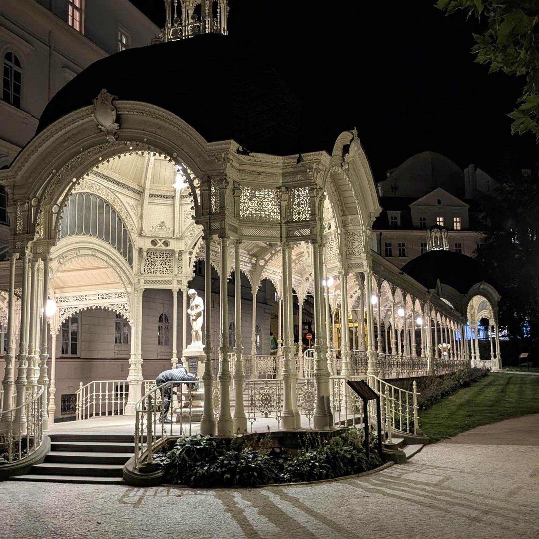
Tips from the Community

Rising above the surrounding forest, Velling Kalv is one of the best viewpoints in this part of Søhøjlandet. The open summit offers far-reaching views across the rolling hills, woodlands and lakes that characterize the region. On a clear day, it’s easy to appreciate how dramatically the Ice Age shaped this landscape.
0
0

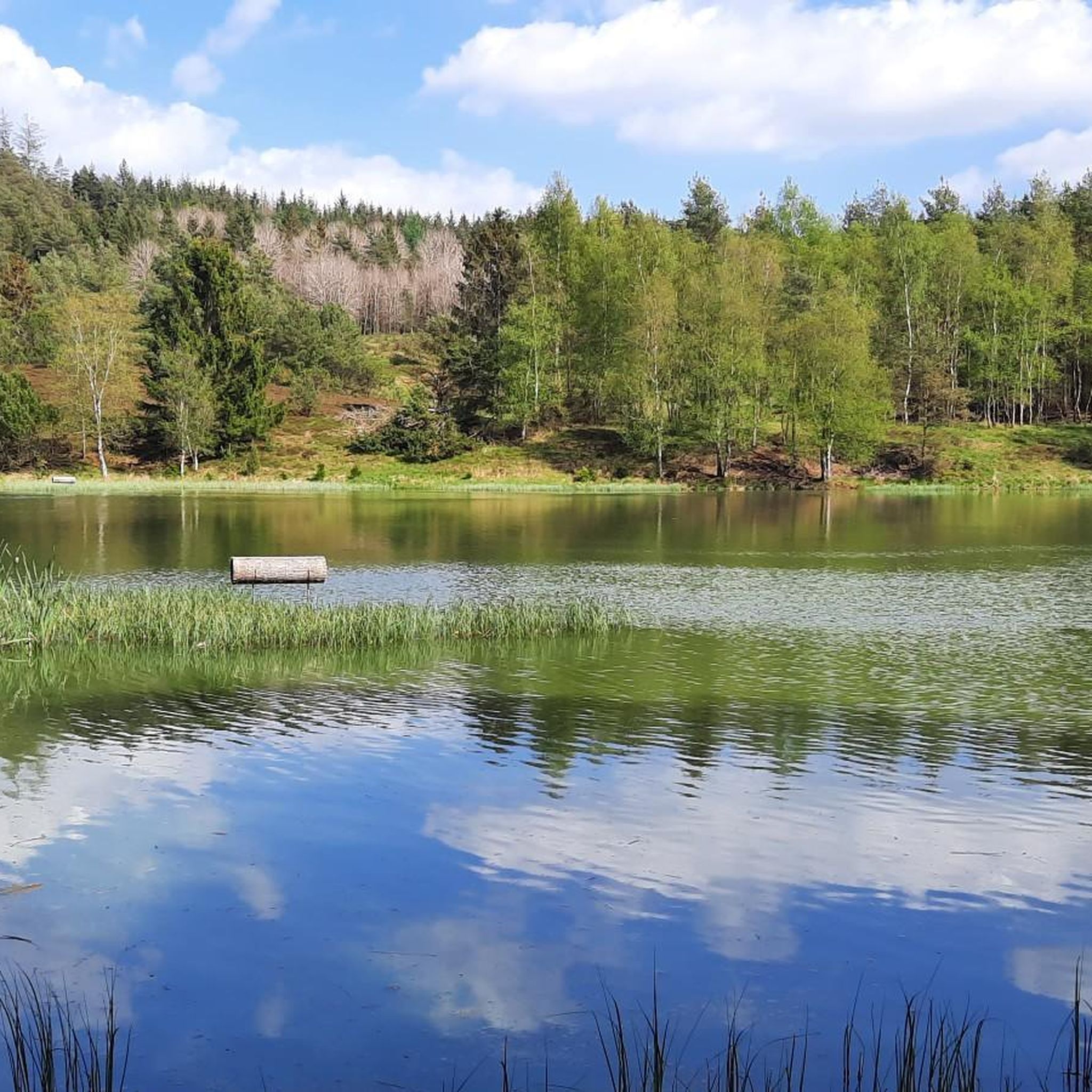
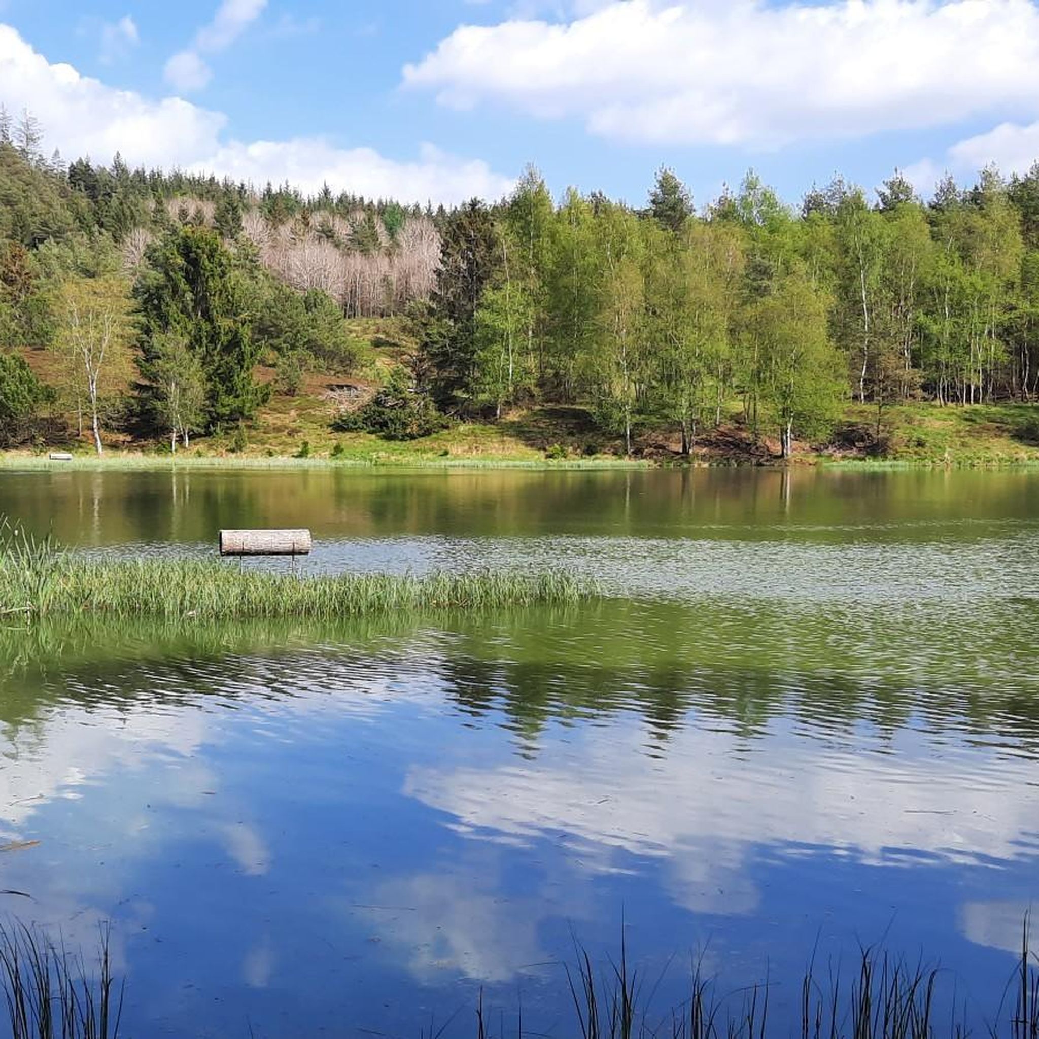
Idyllic and peaceful path through the meadow area in Skærbæk Plantage, surrounded by coniferous trees and shrubs.
0
0
A beautiful destination for outdoor activities (cycling, mountain biking and hiking) in a hilly landscape of forests and meadows.
0
0

Vrads Købmandshandel is a charming and authentic local store that serves as a central point for the small village of Vrads and for hikers in the surrounding area. Located near the unique Vrads Sande, this shop offers a warm welcome and provides a sense of community that is often hard to find. It’s the perfect place to stock up on essentials, grab a quick snack, or simply sit and enjoy the quiet atmosphere before or after a long hike. Stepping inside is like a trip back in time, as the store maintains a nostalgic charm with its selection of local goods, groceries, and handcrafted souvenirs. You can expect to find provisions for your journey, along with a friendly chat with the locals. It's a key highlight for anyone exploring the Vrads Sande or hiking along the Hærvejen route, providing a convenient and well-loved spot for a break. The store's opening hours are Monday to Friday from 2:00 PM to 4:30 PM, and on weekends from 1:00 PM to 4:30 PM. For those planning an overnight stay, Vrads is part of the Hærvejen route, so you'll find shelters in the surrounding area for a true wilderness experience.
1
0
The impressive landscape of Vrads Sande is a truly unique highlight in the heart of Denmark. This unusual area of inland sand dunes was formed centuries ago due to sand drift from overgrazing and deforestation. The panoramic view of this near-desert environment is a striking and unexpected sight, providing a dramatic contrast to the surrounding forests. It's a wonderful place to appreciate the country's diverse landscape.
1
0
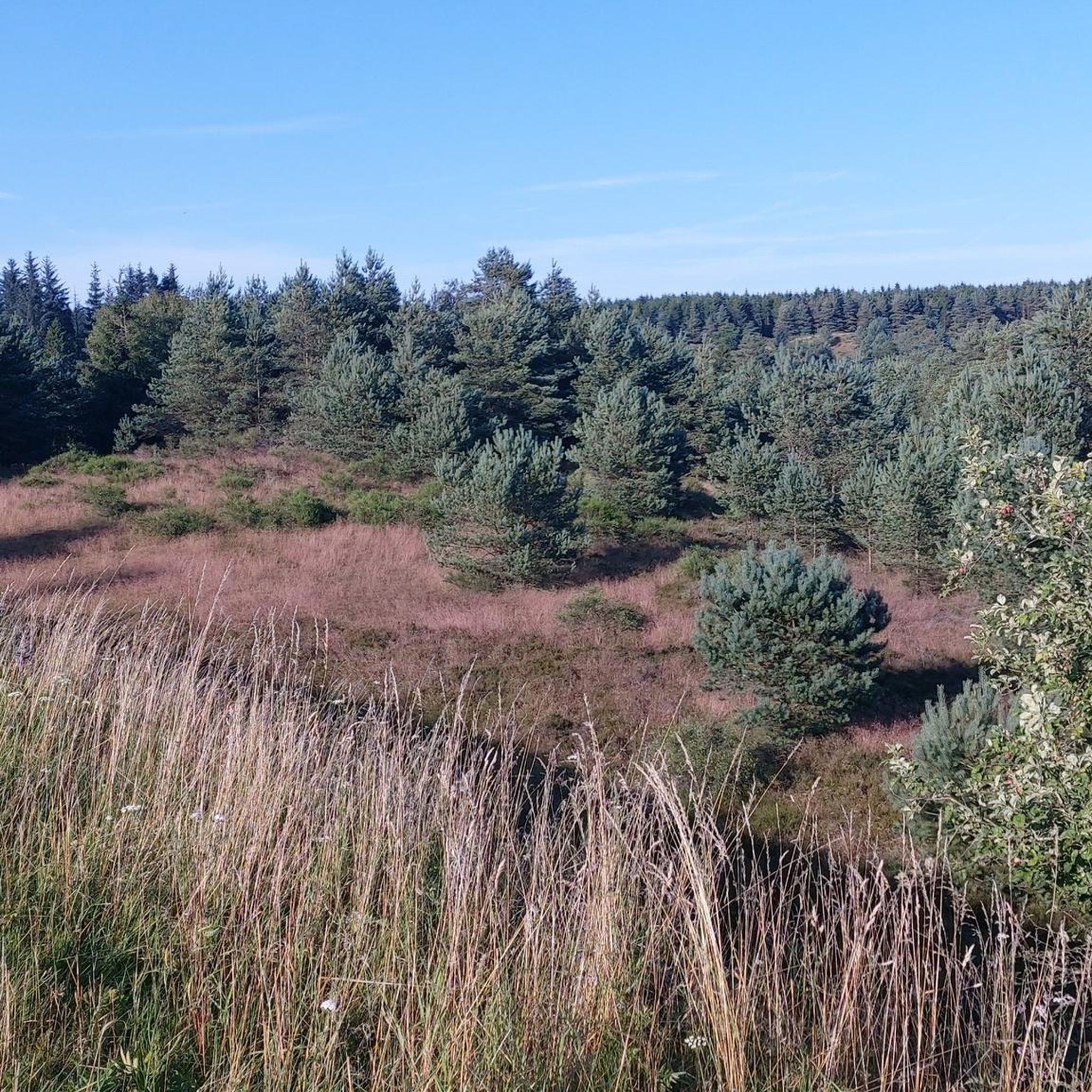
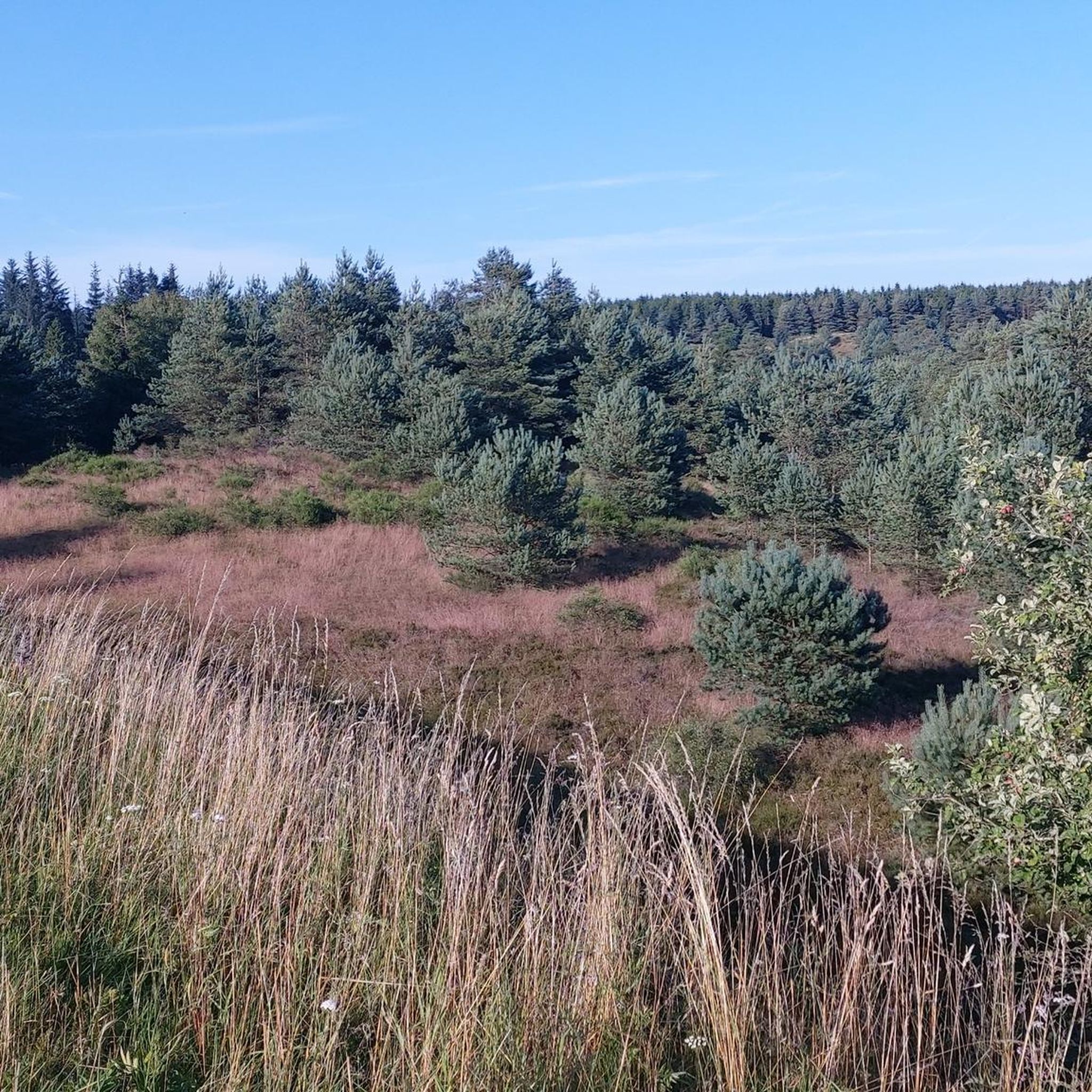
This viewpoint over the Heden Heathland offers you a spectacular panorama of this unique landscape. From this vantage point, you can take in the vast, open expanse of the heath, a defining feature of the area. It's particularly beautiful in late summer, when the heather blooms in a sea of purple, creating a striking and memorable sight. The area offers a profound sense of solitude and is a great spot to appreciate the ancient and wild beauty of the Danish countryside.
1
0

The viewpoints Velling Kalv and Velling Gavl are located 119 and 130 meters above sea level, respectively. Velling Kalv is the lowest of the two points, but the view from here is the best! Kalv means protruding hilltop, gable means end (like on a house). The viewpoints Velling Kalv and Velling Gavl are located 119 and 130 meters above sea level. Velling Kalv is the lowest of the two points, but offers the best view! Kalv means “protruding hilltop”, “Gable” means “end” (like on a house).
2
1
Frequently Asked Questions
How many hiking trails are available in Skærbæk Plantage?
Skærbæk Plantage offers a wide selection of hiking opportunities, with over 110 routes to explore. These trails cater to various preferences, including easy forest walks and more challenging paths through diverse landscapes.
Are there easy hiking trails suitable for beginners or families?
Yes, Skærbæk Plantage has numerous easy trails perfect for beginners and families. Over 50 routes are classified as easy. A great option is the Skærbæk Forest hiking loop, which is 4.4 miles (7.0 km) long and leads through the heart of the forest.
Can I bring my dog on the hiking trails in Skærbæk Plantage?
Generally, dogs are welcome on trails in Danish forests and plantages, but they should be kept on a leash to protect wildlife and ensure the safety of other hikers. Always check local signage for specific rules regarding dogs in certain areas.
Are there any circular hiking routes in Skærbæk Plantage?
Many of the trails in Skærbæk Plantage are designed as circular routes, allowing you to start and end at the same point. For example, the View from Velling Gavl – View of Velling Kalv loop from Lystrup Å is an easy 4.3-mile (6.9 km) circular hike offering scenic views.
What kind of terrain can I expect on the trails?
The terrain in Skærbæk Plantage is characterized by dense forests, open heathland, and gentle rolling hills. You'll find paths traversing woodlands and providing views of the surrounding countryside, offering a varied hiking experience.
Are there any scenic viewpoints or landmarks along the trails?
Yes, several routes offer notable viewpoints. The Bryrup Vrads Heritage Railway – View from Velling Gavl loop from Vrads features impressive views from Velling Gavl. You can also explore sections near the historic Bryrup Vrads Heritage Railway.
When is the best time of year to go hiking in Skærbæk Plantage?
Skærbæk Plantage is beautiful year-round. Spring brings lush greenery and blooming flora, while autumn offers vibrant fall colors. Summer is ideal for longer days and warmer weather, and even winter hikes can be magical, especially after a snowfall, though some paths might be muddy or icy.
Are there challenging trails for experienced hikers?
While many trails are easy to moderate, Skærbæk Plantage does offer some options for more experienced hikers, with 11 routes classified as difficult. These routes typically feature longer distances or more varied elevation changes, providing a good workout.
Is parking available near the trailheads?
Yes, parking is generally available at various access points and trailheads throughout Skærbæk Plantage. Look for designated parking areas, often marked near popular starting points for routes.
What kind of wildlife might I encounter while hiking?
As a forested area, Skærbæk Plantage is home to various wildlife. You might spot deer, squirrels, and a variety of bird species. Keep an eye out for smaller mammals and listen for the sounds of the forest. Remember to observe from a distance and avoid disturbing the animals.
What do other hikers enjoy most about Skærbæk Plantage?
The area is highly rated by the komoot community, with an average score of 4.4 stars from over 190 reviews. Reviewers often praise the quiet woodlands, well-marked paths, and the diverse landscapes that include both dense forests and open heathland.
Are there any trails that follow historical routes?
Yes, some trails in the area incorporate historical elements. For instance, the Vrads Station – Bryrup Vrads Heritage Railway loop from Vrads follows sections near the historic Bryrup Vrads Heritage Railway, offering a glimpse into the region's past.
Most popular routes in Skærbæk Plantage

Get inspired with the komoot mobile app


Explore more
Browse the best Hikes in other regions.
