The best road cycling routes in Gaupesteinmarka
4.6
(20)
953
riders
64
rides
Road cycling routes in Gaupesteinmarka offer diverse terrain within a natural reserve in Akershus, Norway. The area features forests and mountainous landscapes, providing varied topography for cyclists. Routes include both paved roads and paths that wind through these natural settings, with opportunities for different elevation gains. This environment supports road cycling with options for both challenging climbs and more moderate rides.
Best road cycling routes in Gaupesteinmarka
- The most popular road cycling route is Stasjonskafeen Kråkstad – View of the…
Last updated: June 28, 2026
114
riders
70.2km
03:12
740m
740m
Moderate road ride. Good fitness required. Mostly well-paved surfaces and easy to ride.
4.0
(1)
77
riders
109km
04:49
980m
980m
Hard road ride. Very good fitness required. Mostly well-paved surfaces and easy to ride.

Sign up for free
5.0
(4)
37
riders
35.9km
01:34
340m
340m
Moderate road ride. Good fitness required. Mostly well-paved surfaces and easy to ride.
18
riders
114km
05:01
800m
800m
Hard road ride. Very good fitness required. Mostly well-paved surfaces and easy to ride.
12
riders
62.5km
02:55
700m
700m
Moderate road ride. Good fitness required. Mostly well-paved surfaces and easy to ride.
Get access to more routes and recommendations from other explorers.
Sign up for free
Already have an account?
Our route recommendations are based on thousands of hikes, rides, and runs completed by other people on komoot.
Start today with a free account
Your next adventure awaits.
Login or Signup
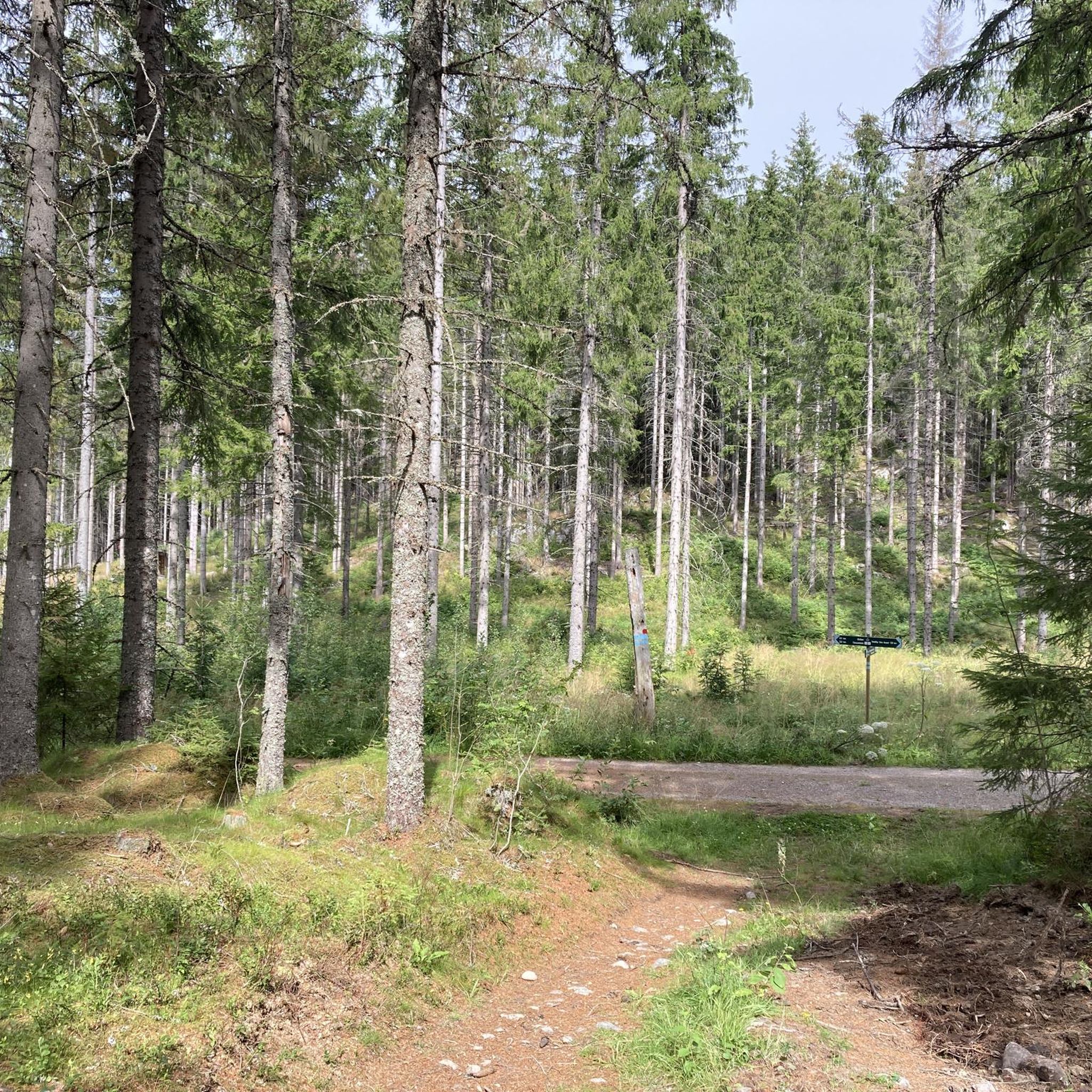
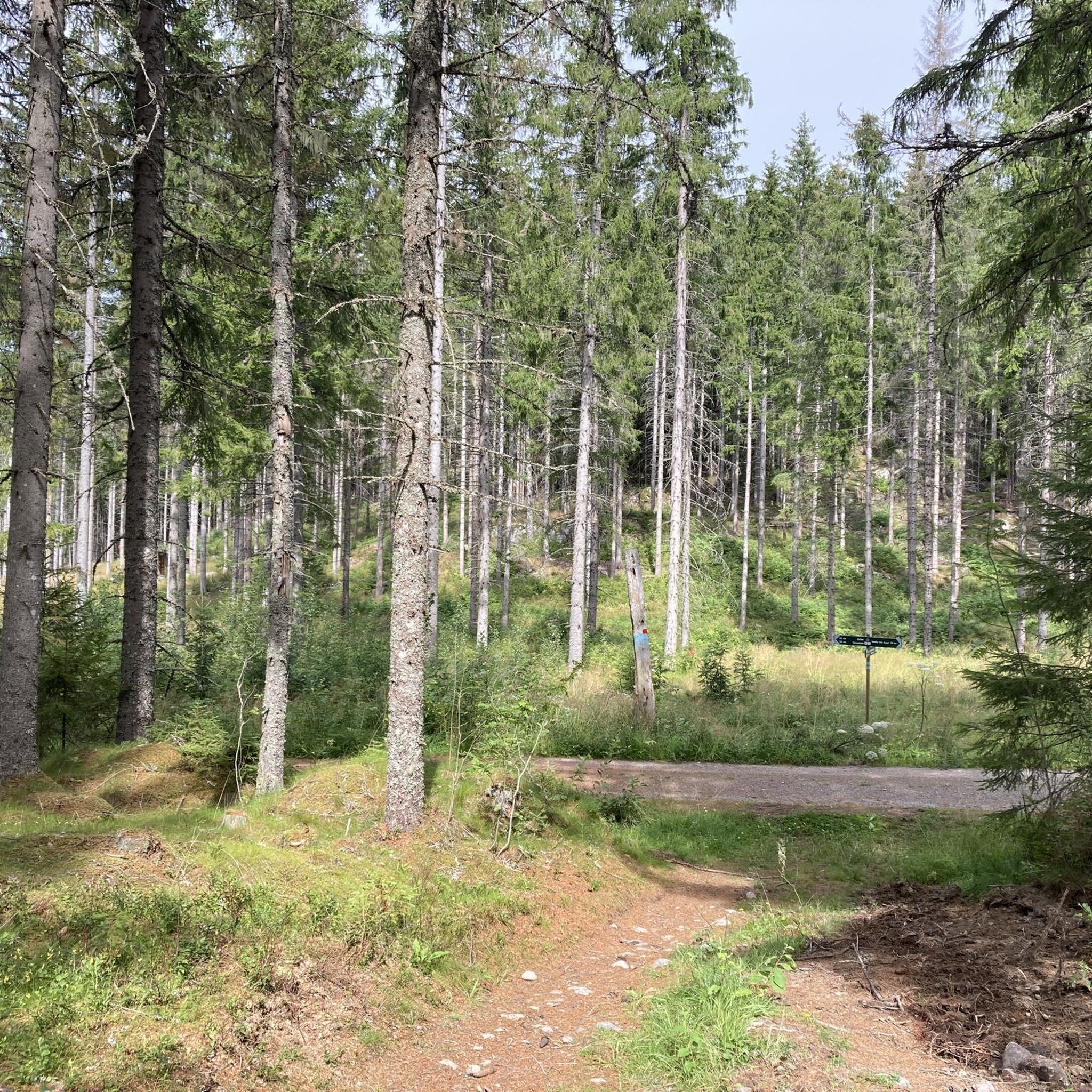
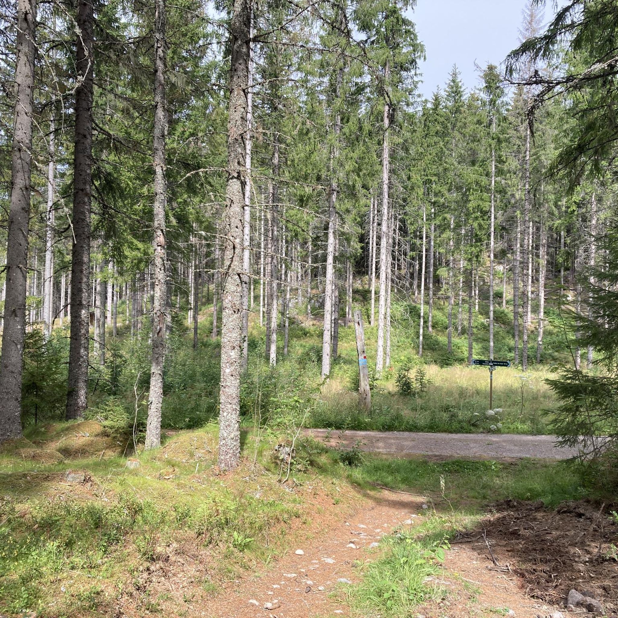
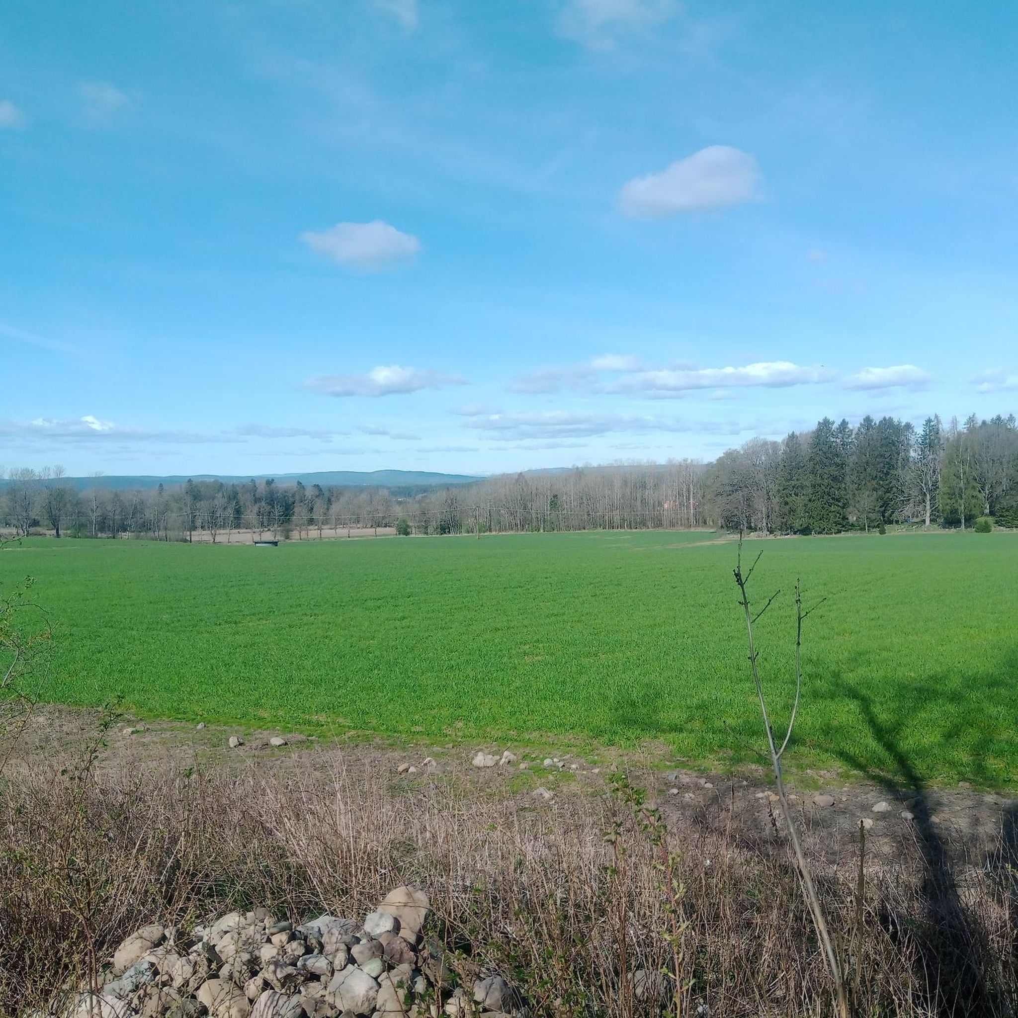

Tips from the Community


Almost every bit of road that leads to and from this place is a premium road cycling road.
0
0

"Gamle Fossumbru" (Old Fossumbru) refers to the original bridge that spanned the Glomma River between Askim and Spydeberg, Norway, before it was replaced by the Fossumbru in 1961. The original bridge, a wooden arch structure, was partially destroyed during the Battle of Fossum Bridge during the Nazi invasion of Norway in 1940. The new Fossumbru, a suspension structure with a main span of 125 metres, is now the bridge that crosses the river at that location.
0
0

Great little cafe at the train station, very friendly to cyclists.
0
0

Nice view of the lake from the road. It's peaceful and picturesque, and the road is undulating and smooth. A very nice place to ride a bike.
0
0

Perfect bike road between Spydeberg and Lyseren.
0
0

The pizza alone is worth a stop! I had the "Interrail" pizza with ham, rocket, parmesan and olive oil for 200 krone. It was huge. I can only recommend it.
0
0
Frequently Asked Questions
What kind of terrain can I expect on road cycling routes in Gaupesteinmarka?
Gaupesteinmarka offers a diverse landscape for road cyclists, characterized by forests and mountainous terrain. You'll find routes that wind through these natural settings, including both paved roads and paths. The topography provides opportunities for varied elevation gains, from challenging climbs to more moderate rides.
Are there road cycling routes suitable for different skill levels in Gaupesteinmarka?
Yes, Gaupesteinmarka caters to various skill levels. The area features routes categorized as easy, moderate, and difficult. For instance, you can find 11 easy routes, 50 moderate routes, and 8 difficult routes, ensuring options for every cyclist.
What are some notable natural features or landmarks I can see while road cycling in Gaupesteinmarka?
While cycling in Gaupesteinmarka, you can encounter several impressive natural features. The region is known for its 'wild and beautiful nature,' including high rock walls and swift-flowing streams. Keep an eye out for the massive Gaupestein Boulder, a significant natural monument, and the Hjellsåstårnet Observation Tower, which offers scenic views.
What is the best time of year for road cycling in Gaupesteinmarka?
The best time for road cycling in Gaupesteinmarka is generally during the warmer months when roads are clear of snow and ice. Spring, summer, and early autumn offer the most favorable conditions to enjoy the region's diverse landscapes and avoid seasonal challenges.
Are there any family-friendly road cycling routes in Gaupesteinmarka?
While specific 'family-friendly' designations aren't always explicit, Gaupesteinmarka offers 11 easy routes that could be suitable for families looking for less strenuous rides. These routes typically have lower elevation gains and shorter distances, providing a more relaxed experience.
What do other road cyclists enjoy most about the routes in Gaupesteinmarka?
The road cycling routes in Gaupesteinmarka are highly rated by the komoot community, with an average score of 4.5 stars from over 10 reviews. Cyclists often praise the varied terrain, the beautiful natural scenery, and the options available for different ability levels.
Are there any challenging road cycling routes for experienced riders?
Yes, for experienced riders seeking a challenge, Gaupesteinmarka offers 8 difficult routes. An example is the Gamle Mosseveien – Gjersjøen lake loop from Kråkstad, which is 67.6 miles (108.8 km) long and includes significant elevation gain, providing a demanding ride through scenic landscapes.
Where can I find parking for road cycling routes in Gaupesteinmarka?
Parking options for road cyclists in Gaupesteinmarka can be found near popular starting points. Areas like Tomter station and Granerud are often mentioned in relation to accessing routes. It's advisable to check specific route descriptions for recommended parking locations.
Can I access Gaupesteinmarka's road cycling routes using public transport?
Public transport access is possible, particularly to areas like Tomter station, which serves as a gateway to many routes. You can often take trains or buses to these stations. Cyclists should verify if their specific public transport option allows bikes onboard.
Are there any long-distance road cycling routes in the region?
Yes, Gaupesteinmarka features several longer routes. For instance, the Moss–Horten Electric Ferry – Garder Church Road loop from Kråkstad is a difficult route spanning 115.7 km (71.9 miles), offering a substantial ride with considerable elevation.
Are there any moderate-difficulty road cycling routes with good views?
Many moderate routes offer scenic views. The Stasjonskafeen Kråkstad – View of the lake loop from Kråkstad is a popular moderate route, 43.6 miles (70.2 km) long, specifically highlighting lake views as part of its appeal.
What is the typical elevation gain on road cycling routes in Gaupesteinmarka?
Elevation gain varies significantly across routes in Gaupesteinmarka due to its mountainous terrain. For example, a moderate route like Stasjonskafeen Kråkstad – View of the lake loop from Kråkstad has an elevation gain of around 737 meters, while more difficult routes can exceed 900 meters.
Are there any road cycling routes that pass through quiet, less-trafficked areas?
Yes, many routes in Gaupesteinmarka are known for their tranquil settings. The Lovely and quiet back road – Tomter Church loop from Tomter is a moderate 62.7 km route specifically described as passing through 'lovely and quiet back roads,' ideal for those seeking a peaceful ride.
Most popular routes in Gaupesteinmarka

Get inspired with the komoot mobile app


Explore more
Browse the best Road cycling routes in other regions.
