The best walks and hikes in Limeburners Creek National Park
4.7
(18)
586
hikers
20
hikes
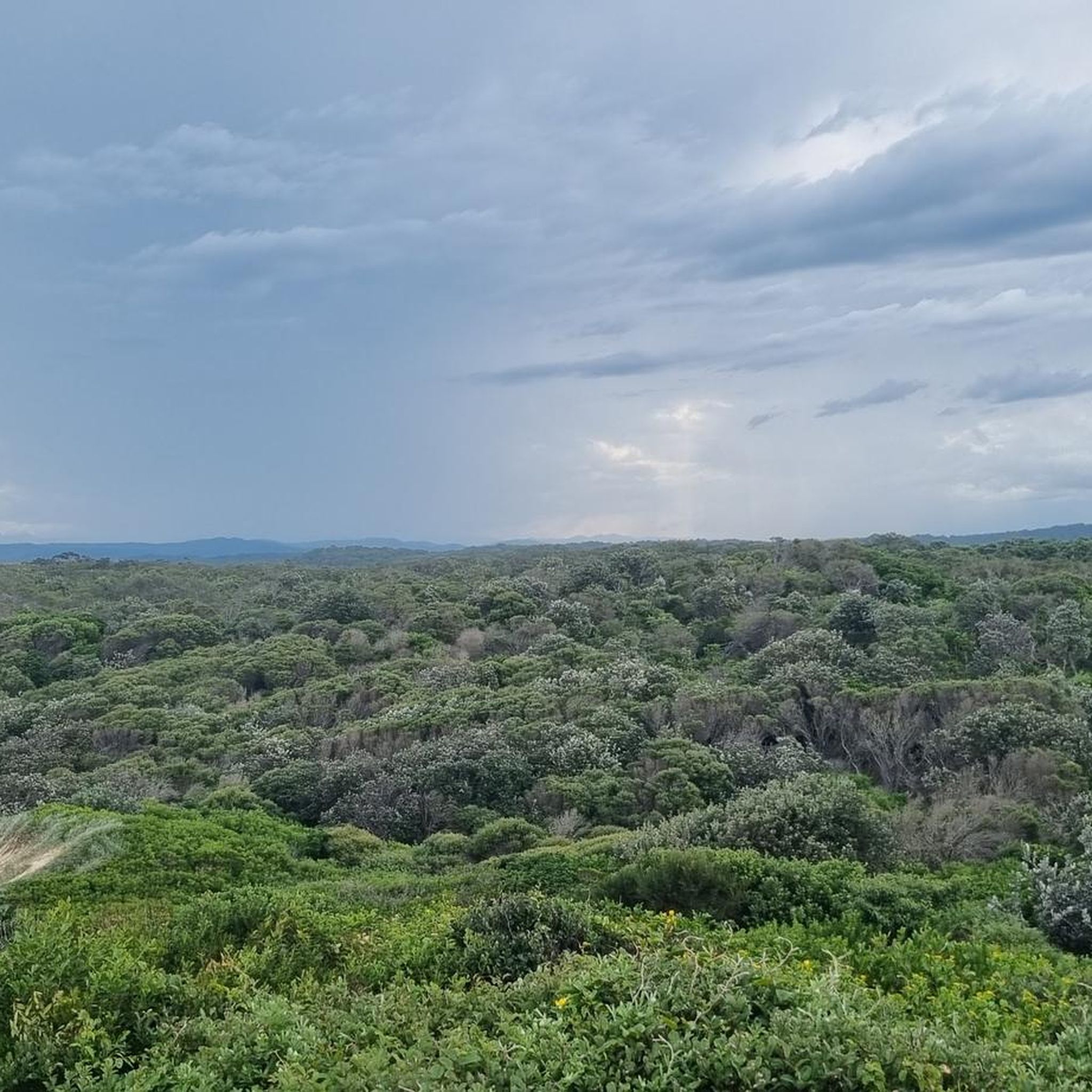
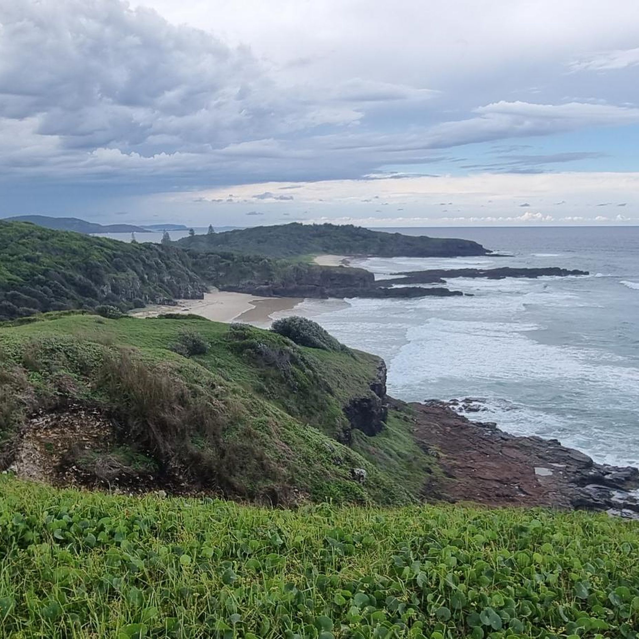
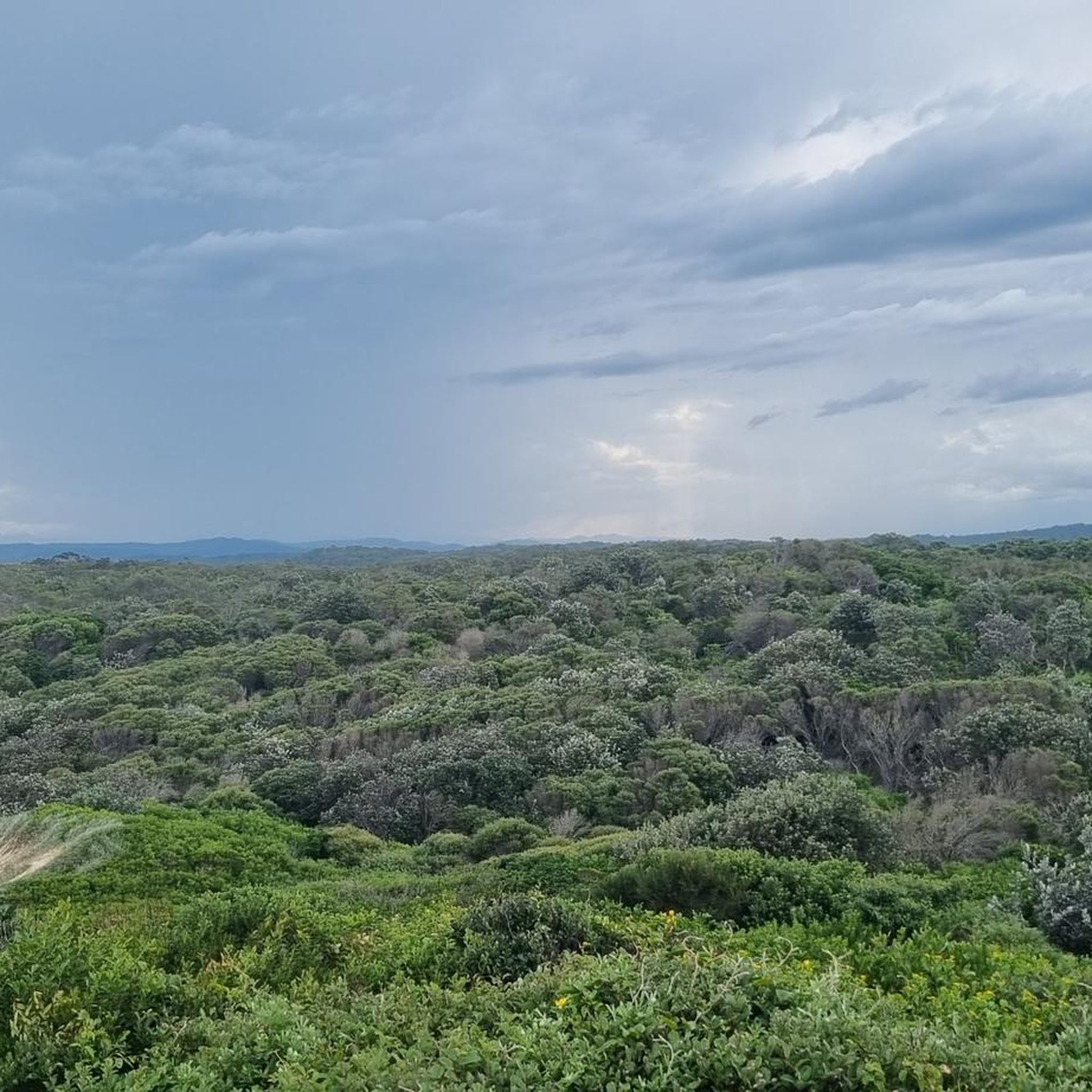
Hiking in Limeburners Creek National Park offers diverse landscapes, from expansive beaches to rare rainforests and woodland-covered coasts. The park's terrain features significant natural elements including coastal headlands, wetlands, and the saline Saltwater Lake. This varied environment provides a range of Limeburners Creek National Park walking tracks suitable for different preferences and abilities.
Best hiking trails in Limeburners Creek National Park
- The most popular hiking route is Shelly Beach – Tacking Point Lighthouse loop from Port Macquarie, a 9.1…
Last updated: July 4, 2026
7
hikers
Easy hike. Great for any fitness level. Easily-accessible paths. Suitable for all skill levels.
51
hikers
4.23km
01:04
10m
10m
Easy hike. Great for any fitness level. Easily-accessible paths. Suitable for all skill levels.

Sign up for free
4.5
(6)
129
hikers
14.7km
03:59
210m
210m
Moderate hike. Good fitness required. Easily-accessible paths. Suitable for all skill levels.
5.0
(1)
70
hikers
Easy hike. Great for any fitness level. Easily-accessible paths. Suitable for all skill levels.
4.0
(2)
5
hikers
4.74km
01:13
20m
20m
Easy hike. Great for any fitness level. Easily-accessible paths. Suitable for all skill levels.
Get access to more routes and recommendations from other explorers.
Sign up for free
Already have an account?
Our route recommendations are based on thousands of hikes, rides, and runs completed by other people on komoot.
Start today with a free account
Your next adventure awaits.
Login or Signup
Popular around Limeburners Creek National Park
Tips from the Community

Port Macquarie breakwall lines the entrance to the Hastings River, originally constructed to improve navigation across the once-dangerous river bar. Built in stages from the late 1890s, with the southern wall completed in 1904 and the northern wall following in 1932, it was a major engineering effort designed to direct river flow and create a safer, deeper channel. Today, it is an iconic coastal walkway, known for its painted rocks, beautiful views, and strong connection to the town’s maritime history and community. It’s a long-standing local tradition here for visitors to paint messages and memorials on the rocks, creating a colourful and ever-changing feature along the wall.
0
0
Kooloonbung Creek flows through a 52-hectare nature reserve in central Port Macquarie, preserving wetlands, bushland, and diverse wildlife habitats. There are boardwalks and walking tracks that wind through mangroves and forest, connecting the reserve to the town centre and foreshore. This area also includes picnic areas and a historic cemetery, blending natural and cultural heritage in a peaceful urban setting.
0
0
Westport Park is one of Port Macquarie’s largest waterfront reserves, with plenty of open green space with direct access to the Hastings River and expansive views across the waterways. The park includes picnic areas, playgrounds, boat ramps, a bubbler, toilets and several benches throughout the grounds and regularly hosts major community events, markets, and festivals. It also runs along part of the foreshore walking network, connecting the town centre with riverside paths and recreational areas.
0
0

very nice, but short hike to the cliffs of Point Plomer Head from the campground.
1
0

great walk at Kooloombung Creek. You will see hundreds of flying foxes
0
0


End point of the Port MacQuire Coastal Walk. Spectacular views of the cliffs and the ocean. The walk is not difficult but it is 15 km long, in 3 hours passing by numerous beaches (some for dogs). Best to do in Port MacQuire.
0
0
Frequently Asked Questions
How many hiking trails are available in Limeburners Creek National Park?
Limeburners Creek National Park offers a diverse network of over 20 hiking trails. These range from easy coastal strolls to more moderate loops, providing options for various fitness levels.
What kind of natural features and landscapes can I expect to see while hiking?
Hikers in Limeburners Creek National Park will encounter a rich variety of landscapes, including expansive beaches, dramatic coastal headlands like Point Plomer and Queens Head, and rare rainforests. The park also features significant wetlands and Saltwater Lake, offering diverse ecosystems to explore.
Are there any easy hiking options suitable for beginners or families?
Yes, the park has numerous easy trails. For instance, the Gaol Point Lookout – Port Macquarie Breakwall loop from Port Macquarie is an easy 5.7 km path, perfect for a relaxed outing. Many coastal walks are also generally flat and accessible.
What are some notable viewpoints or landmarks I can visit?
You can enjoy spectacular coastal views from Queens Head Lookout, which offers sweeping panoramas north towards Point Plomer and south over North Shore Beach. Big Hill Point also provides excellent views after exploring the rainforests. The historic Tacking Point Lighthouse is another significant landmark accessible via trails like the Shelly Beach – Tacking Point Lighthouse loop from Port Macquarie.
Can I bring my dog on the hiking trails in Limeburners Creek National Park?
No, dogs and other domestic pets are generally not permitted in NSW national parks, including Limeburners Creek National Park, to protect native wildlife. Assistance animals are an exception. Always check the official NSW National Parks website for the most current regulations: nationalparks.nsw.gov.au.
Are there any circular hiking routes in the park?
Yes, several routes offer a circular experience. For example, the Port Macquarie Breakwall – Flagstaff Hill Lookout loop from Port Macquarie is an easy 7.5 km loop that provides great coastal views. The Big Hill South Trail also offers a pleasant loop through diverse ecosystems.
What is the best time of year to go hiking in Limeburners Creek National Park?
The park is enjoyable year-round. However, for whale watching, the period from May to November offers excellent opportunities to spot migrating whales from coastal vantage points. Spring (September to November) is also beautiful for seeing seasonal wildflowers.
What kind of wildlife might I encounter on the trails?
Limeburners Creek National Park is rich in diverse flora and fauna. You might spot ospreys, pied oystercatchers, dingoes, koalas, quolls, and even the rare ground parrot. The estuaries are crucial for seabird populations, and a bat colony resides in a limestone cave on Big Hill.
Is there parking available at the trailheads?
Yes, parking is generally available at key access points and trailheads within or near the park. Specific parking details can often be found on individual route descriptions or on the official park website.
Are there any fees or permits required to hike in Limeburners Creek National Park?
Entry fees may apply to some NSW national parks. It's advisable to check the official NSW National Parks website for current information on park entry fees and any specific permits required for activities like remote camping: nationalparks.nsw.gov.au.
Can I go swimming near the hiking trails?
Yes, the park's coastal location offers opportunities for swimming. You'll find long stretches of sandy beaches, and the region is also popular for surfing. Always be mindful of ocean conditions and any local signage regarding swimming safety.
What do other hikers enjoy most about hiking in Limeburners Creek National Park?
The area is highly rated by the komoot community, with an average score of 4.6 stars. Reviewers often praise the diverse coastal scenery, the unique experience of walking through rare rainforests, and the variety of trails suitable for different abilities.
Most popular routes in Limeburners Creek National Park

Get inspired with the komoot mobile app


Explore more
Browse the best Hikes in other regions.
