The best cycling routes in Springbrook National Park
4.3
(10)
305
riders
14
rides
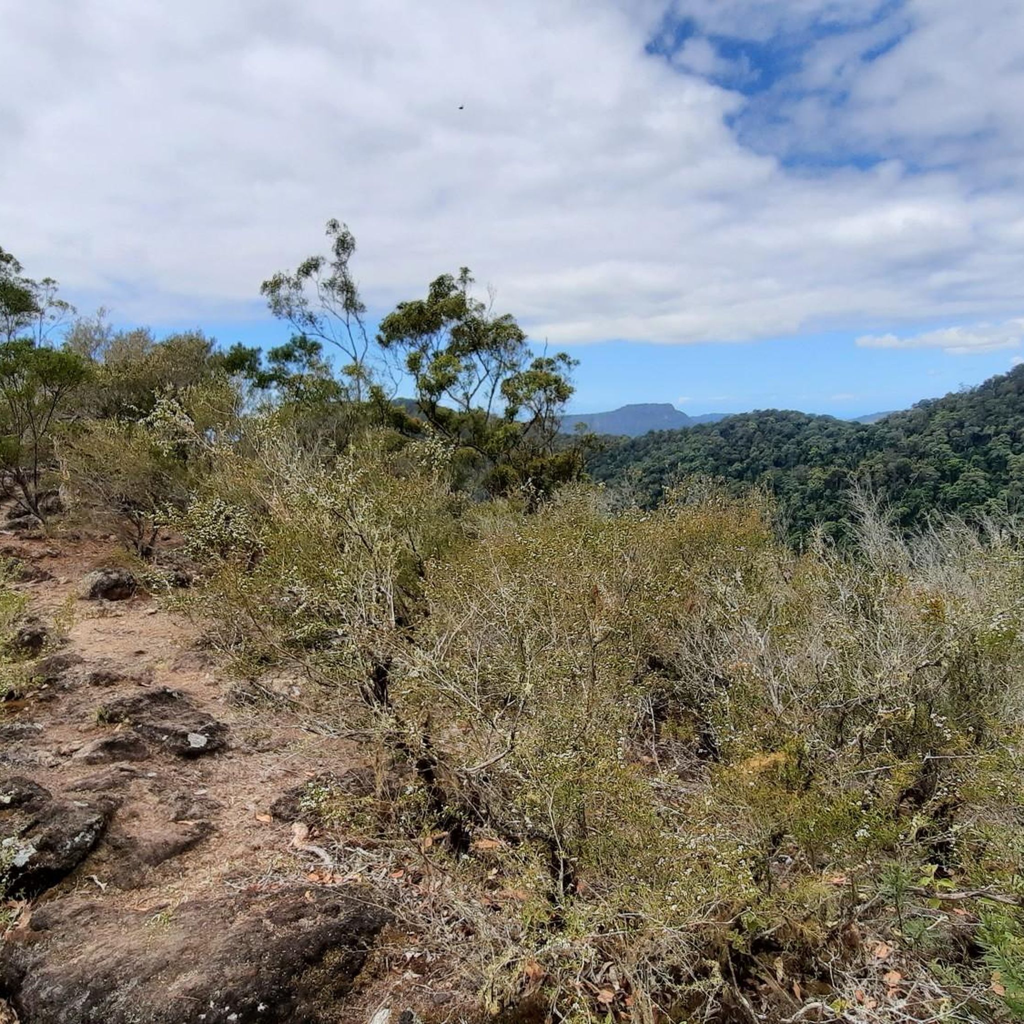
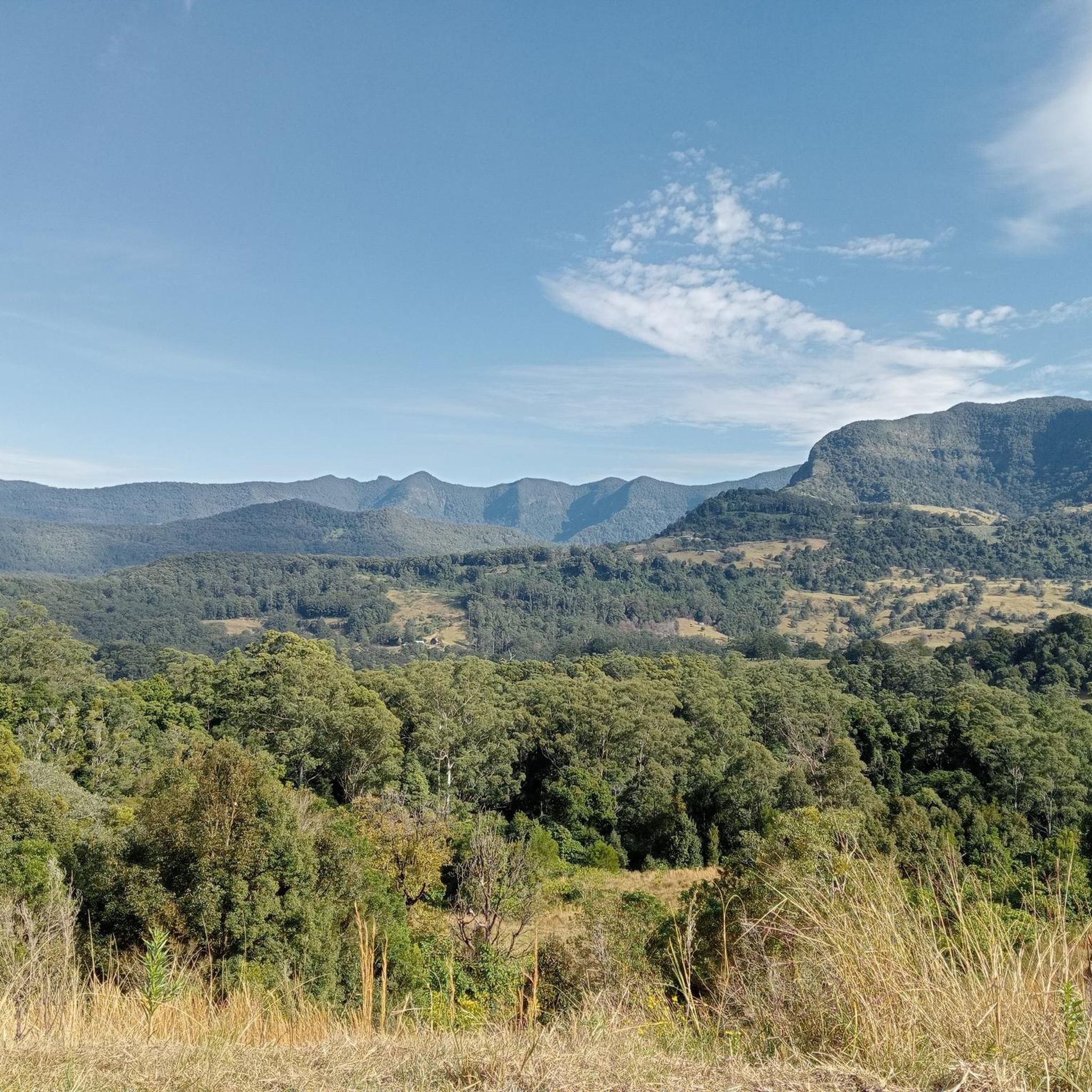
Touring cycling in Springbrook National Park features routes through dense rainforests, along scenic ridges, and past waterfalls. The region is characterized by its volcanic origins, resulting in varied terrain with significant elevation changes and panoramic viewpoints. Cyclists can expect a mix of challenging climbs and rewarding descents, traversing areas of lush vegetation and unique geological formations.
Best touring cycling routes in Springbrook National Park
- The most popular touring cycling route is Queensland State Border loop from Tomewin Conservation Park, a 23.1 miles (37.2 km) trail that takes 2 hours 53 minutes to complete. This difficult route features substantial elevation gain through forested landscapes.
- Another top favourite among local touring cyclists is Wunburra Lookout loop from John Rogers Reserve, a difficult 18.7 miles (30.0 km) path. This route offers challenging ascents and scenic views towards Wunburra Lookout.
- Local touring cyclists also love the Freeman's Farm Lookout – Currumbin River loop from Varsity Lakes, a 55.2 miles (88.9 km) trail leading through varied terrain including coastal areas and river valleys, often completed in about 5 hours 35 minutes.
- Touring cycling in Springbrook National Park is defined by dense rainforests, challenging climbs, and scenic lookouts. The network offers options for easy, moderate, and difficult routes, catering to different ability levels.
- The routes in Springbrook National Park are highly rated by the komoot community with an average score of 4.3 stars from 10 reviews. More than 300 touring cyclists have used komoot to explore Springbrook National Park's varied terrain.
Last updated: July 4, 2026
8
riders
37.2km
02:54
720m
720m
Hard bike ride. Very good fitness required. Mostly paved surfaces. Suitable for all skill levels.
6
riders
30.0km
02:13
660m
660m
Hard bike ride. Very good fitness required. Mostly paved surfaces. Suitable for all skill levels.

Sign up for free
32
riders
88.5km
05:34
790m
790m
Hard bike ride. Very good fitness required. Mostly paved surfaces. Suitable for all skill levels.
23
riders
Moderate bike ride. Good fitness required. Mostly paved surfaces. Suitable for all skill levels.
21
riders
93.4km
05:24
220m
220m
Hard bike ride. Very good fitness required. Mostly paved surfaces. Suitable for all skill levels.
Get access to more routes and recommendations from other explorers.
Sign up for free
Already have an account?
Our route recommendations are based on thousands of hikes, rides, and runs completed by other people on komoot.
Start today with a free account
Your next adventure awaits.
Login or Signup
Popular around Springbrook National Park
Tips from the Community

Anzac Park sits along the Broadwater with open grass, large shade trees, and direct access to the shoreline. The park includes picnic areas, a playground, and a memorial space, with wide views across the water toward South Stradbroke Island.
0
0

This lovely path is a flat, easy loop that runs along the shoreline of Lake Orr and surrounding waterways. It is a family-friendly route with minimal elevation, popular for walking, running, cycling, and birdwatching. Along the way, the route passes through beautifully landscaped parklands with boardwalk sections, recreational facilities, and peaceful waterside views. It is a fantastic place for a scenic walk any time of the year.
0
0
Camp Creek flows into Lake Orr, contributing to the larger catchment that supplies this central waterway in Varsity Lakes. The surrounding paths and open spaces are a hub for everyday recreation, from walking and cycling to kayaking and stand-up paddleboarding on the lake. Together, they form a calm, natural pocket within Varsity Lakes, and if you are here in the evening, it's a lovely place to watch the sunset.
0
0
Gold Coast Oceanway is a coastal shared path running for around 36 kilometres along the Gold Coast, designed for walking, cycling, and easy access to the shoreline. Around North Kirra, it follows the beachfront with open ocean views and a relaxed, flat route. Along this section, you’ll pass Roughton Park, Peak Memorial Park, and Queen Elizabeth Park, with grassy areas and places to stop along the way.
0
0
North Kirra Beach has a more open, windswept feel, with long stretches of sand and fewer crowds compared to the busier parts of the Gold Coast. Behind the beach, park areas are set up with barbecues, picnic spots, and playgrounds, along with toilets and showers. It’s patrolled during peak periods, so it’s worth sticking between the flags if you’re heading in for a swim.
0
0
Tugun Beach stretches along a quieter part of the southern Gold Coast, with a wide sandy shoreline and steady surf. At the northern end, Flat Rock Creek meets the ocean, with parkland and shaded areas just behind the beach. It’s patrolled near the surf club during peak periods, and facilities are well set up, including toilets, showers, picnic tables, and nearby cafés. Conditions can vary, so it’s worth swimming between the flags where lifeguards are present.
0
0

A short, steep walk up the hill at Mick Schamburg Park leads to a lookout that offers reaching views both north towards Surfers Paradise and south towards Burleigh Heads and Coolangatta. One of the lookouts even has a telescope. This park is an excellent place for a stroll along the Gold Coast Oceanway, beach day, or a relaxing picnic. Parking for Mick Schamburg Park is in the Kelly Avenue car park.
0
0

Stretching along 36 kilometers of shoreline the Oceanway connects dozens of beaches, parks, viewpoints, and sand dunes. The shared use path invites those on foot and wheels to enjoy all that the Gold Coast has to offer at their own pace.
0
0
Frequently Asked Questions
How many touring cycling routes are available in Springbrook National Park?
Springbrook National Park offers a diverse network of over 15 touring cycling routes. These routes cater to various skill levels, including easy, moderate, and difficult options, ensuring there's something for every cyclist.
Are there touring cycling routes suitable for beginners in Springbrook National Park?
Yes, Springbrook National Park features 4 easy touring cycling routes. These are ideal for beginners or those looking for a more relaxed ride through the park's beautiful landscapes.
Where can I find challenging touring cycling routes in Springbrook National Park?
For experienced touring cyclists seeking a challenge, there are 6 difficult routes available. One such route is the Gold Coast Meter Maids Mural – Surfers Paradise sign loop from Varsity Lakes, which covers nearly 94 km with significant elevation changes.
What scenic viewpoints can I expect to see while touring cycling in Springbrook National Park?
Many routes offer breathtaking views. You can visit Canyon Lookout, which provides panoramic vistas of the surrounding natural beauty. The region is known for its dramatic landscapes shaped by volcanic origins.
Are there any waterfalls accessible by touring bike in Springbrook National Park?
While some waterfalls might require short walks from cycling paths, you can find routes that bring you close to stunning natural features. Notable waterfalls in the park include Twin Falls and Blackfellows Falls.
Are there any circular touring cycling routes in Springbrook National Park?
Yes, many of the touring cycling routes in Springbrook National Park are designed as loops. Examples include the challenging Queensland State Border loop from Tomewin Conservation Park and the scenic View of Surfers Paradise – Tallebudgera Creek Dam loop from Varsity Lakes.
What do other touring cyclists think about the routes in Springbrook National Park?
The touring cycling routes in Springbrook National Park are highly regarded by the komoot community, holding an average rating of 4.3 stars from 10 reviews. Over 300 touring cyclists have explored the park using komoot, often praising the dense rainforests, challenging climbs, and rewarding scenic lookouts.
How long do touring cycling routes typically take in Springbrook National Park?
Route durations vary significantly based on distance and difficulty. For instance, the Wunburra Lookout loop from John Rogers Reserve, a difficult 30 km path, typically takes around 2 hours 12 minutes. Longer routes, like the Freeman's Farm Lookout – Currumbin River loop from Varsity Lakes (88.9 km), can take over 5 hours 30 minutes.
What is the best time of year for touring cycling in Springbrook National Park?
The best time for touring cycling in Springbrook National Park is generally during the cooler, drier months, typically from autumn to spring (March to November). This avoids the intense heat and humidity of summer, making for more comfortable rides, especially on routes with significant elevation gain.
Are there family-friendly touring cycling options in Springbrook National Park?
While many routes feature challenging terrain, the park does offer easier options that could be suitable for families with older children or those comfortable with some elevation. It's recommended to check the difficulty grade and elevation profile of specific routes to ensure they match your family's ability.
What kind of terrain can I expect on touring cycling routes in Springbrook National Park?
Springbrook National Park's touring cycling routes are characterized by varied terrain due to its volcanic origins. You can expect a mix of challenging climbs and rewarding descents, traversing dense rainforests, scenic ridges, and areas with unique geological formations. The routes often feature significant elevation changes.
Most popular routes in Springbrook National Park
Most popular attractions in Springbrook National Park

Get inspired with the komoot mobile app


Explore more
Browse the best Cycling routes in other regions.
