The best road cycling routes in Billinudgel Nature Reserve
3.5
(2)
156
riders
11
rides
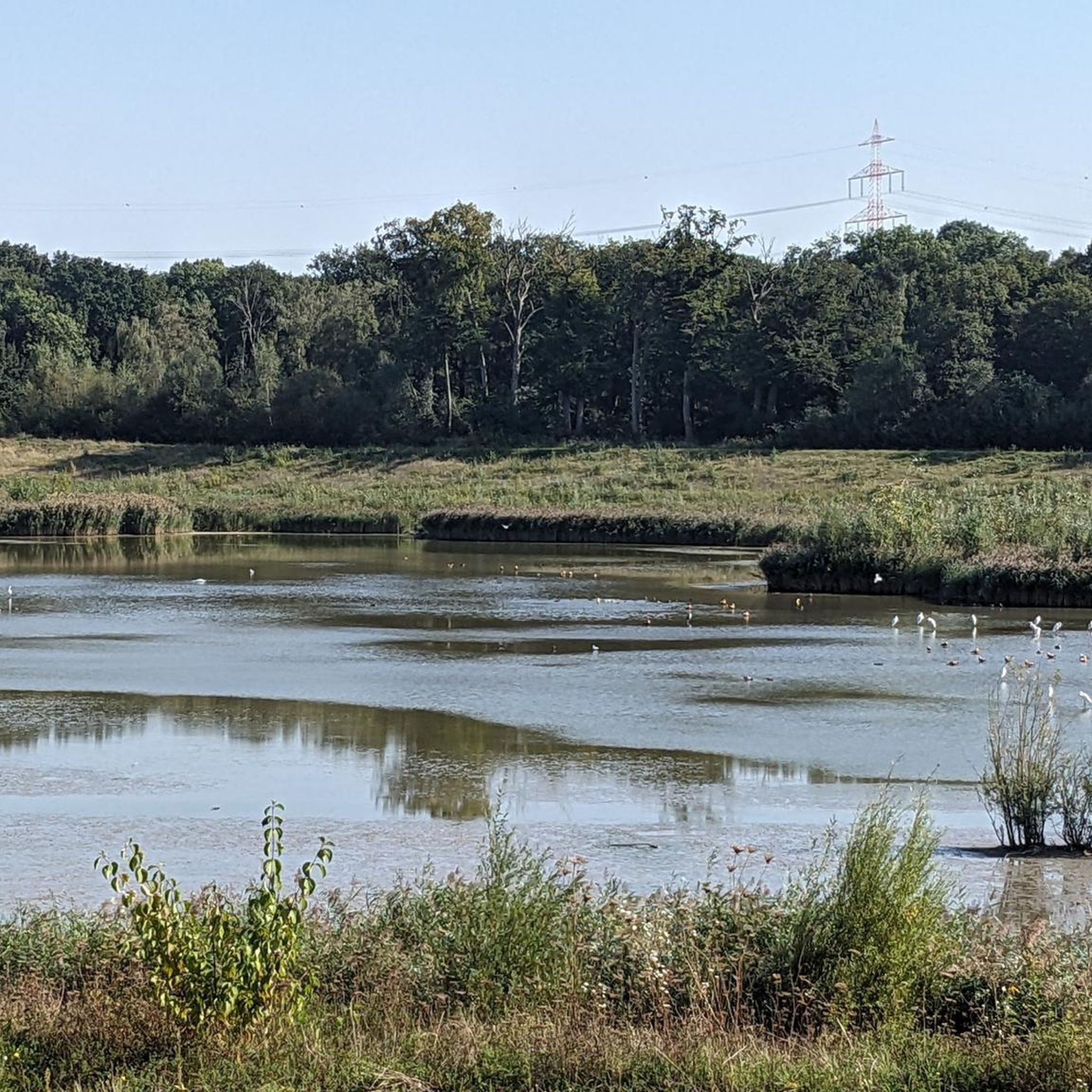
Road cycling routes in Billinudgel Nature Reserve traverse a region characterized by lowland coastal vegetation, extensive wetlands, and coastal plains. The area features a long expanse of sand beach and vegetated ridgelines to the west, offering varied terrain for cyclists. Routes often utilize mostly paved surfaces, providing opportunities to explore the subtropical coastal environment. This landscape supports diverse ecosystems, making it suitable for road cycling.
Best road cycling routes in Billinudgel Nature Reserve
- The most popular road cycling route is…
Last updated: July 9, 2026
5
riders
27.4km
01:11
220m
220m
Easy road ride. Great for any fitness level. Mostly well-paved surfaces and easy to ride.
11
riders
82.4km
03:51
800m
800m
Moderate road ride. Good fitness required. Mostly well-paved surfaces and easy to ride.

Sign up for free
9
riders
48.6km
02:27
480m
480m
Moderate road ride. Good fitness required. Some segments of this route may be unpaved and difficult to ride.
3
riders
56.6km
02:50
730m
730m
Moderate road ride. Good fitness required. Some segments of this route may be unpaved and difficult to ride.
31
riders
34.6km
01:28
210m
210m
Easy road ride. Great for any fitness level. Mostly well-paved surfaces and easy to ride.
Get access to more routes and recommendations from other explorers.
Sign up for free
Already have an account?
Our route recommendations are based on thousands of hikes, rides, and runs completed by other people on komoot.
Start today with a free account
Your next adventure awaits.
Login or Signup
Popular around Billinudgel Nature Reserve



Tips from the Community

Where I hit my head on the boom and went under the bridge sideways 😊
0
0
Frequently Asked Questions
What kind of terrain can I expect on road cycling routes around Billinudgel Nature Reserve?
The road cycling routes in the Billinudgel Nature Reserve area traverse diverse terrain, including lowland coastal vegetation, extensive wetlands, and coastal plains. You'll also find sections with vegetated ridgelines to the west, offering varied landscapes. Most routes utilize mostly paved surfaces, making them suitable for road bikes.
Are there road cycling routes suitable for beginners or families in the Billinudgel Nature Reserve area?
Yes, the area offers several easy road cycling routes perfect for beginners or families. For example, the Roadbike loop from Marshalls Creek Nature Reserve is an easy 27.4 km route, and the Roadbike loop from Brunswick Heads is another easy option at 34.6 km, both offering scenic views.
What are the more challenging road cycling routes near Billinudgel Nature Reserve?
For those seeking a greater challenge, routes like the Condong Sugar Mill Bridge loop from Brunswick Heads offer a more demanding experience. This route covers 85.3 km with significant elevation gain, making it a moderate to challenging ride.
What do other road cyclists say about their experience in the Billinudgel Nature Reserve area?
The road cycling routes in the Billinudgel Nature Reserve area are highly rated by the komoot community, with an average score of 3.0 stars from 2 reviews. Cyclists often praise the scenic views of the subtropical coastal environment and the variety of terrain available.
Are there any loop routes for road cycling in the region?
Yes, many of the popular road cycling routes in the area are loops, allowing you to start and end at the same point. Examples include the Roadbike loop from Marshalls Creek Nature Reserve and the Captain Cook Lookout loop from Brunswick Heads.
What kind of natural features or wildlife might I encounter while cycling?
While cycling the paved routes around Billinudgel Nature Reserve, you'll experience lush countryside and diverse ecosystems. The reserve itself is known for its Melaleuca swamp forests, coastal cypress pine stands, and eucalypt forests, which support a wide range of fauna and flora. Birdwatching is particularly popular in the paperbark forests, and you might spot various coastal species.
Are there any specific points of interest or landmarks along the road cycling routes?
The routes often provide scenic views of the subtropical coastal environment. For instance, the Captain Cook Lookout loop from Brunswick Heads leads through coastal plains and vegetated ridgelines, offering panoramic vistas. The region also has Aboriginal sites and landscapes of significance, though these are primarily within the reserve and best explored on foot.
What is the best time of year to go road cycling in the Billinudgel Nature Reserve area?
The subtropical coastal climate means cycling is generally pleasant for much of the year. However, the flowering seasons for specific plant communities like coastal cypress pine stands and banksia woodlands can add to the aesthetic value of your ride. It's always advisable to check local weather forecasts before heading out.
Where can I find information about the conservation efforts in Billinudgel Nature Reserve?
Billinudgel Nature Reserve is a significant area for conservation, protecting diverse ecosystems and threatened species. You can find detailed information about the reserve's management and conservation plan on the NSW government's environment website: Billinudgel Nature Reserve Plan of Management.
Are there cafes or places to stop for refreshments along the road cycling routes?
The road cycling routes often originate from or pass through nearby towns like Brunswick Heads and Mooball. These towns typically offer cafes, restaurants, and other amenities where you can stop for refreshments or a meal during your ride.
What are the typical road conditions for cycling in this region?
The road cycling routes in the Billinudgel Nature Reserve area primarily use mostly paved surfaces. While generally well-maintained, some routes may have varying elevations. It's always good to be aware that some local tracks, while suitable for cycling, might have unpaved segments.

Get inspired with the komoot mobile app


Explore more
Browse the best Road cycling routes in other regions.
