The best road cycling routes in Clear Mountain Conservation Park
5.0
(5)
310
riders
17
rides
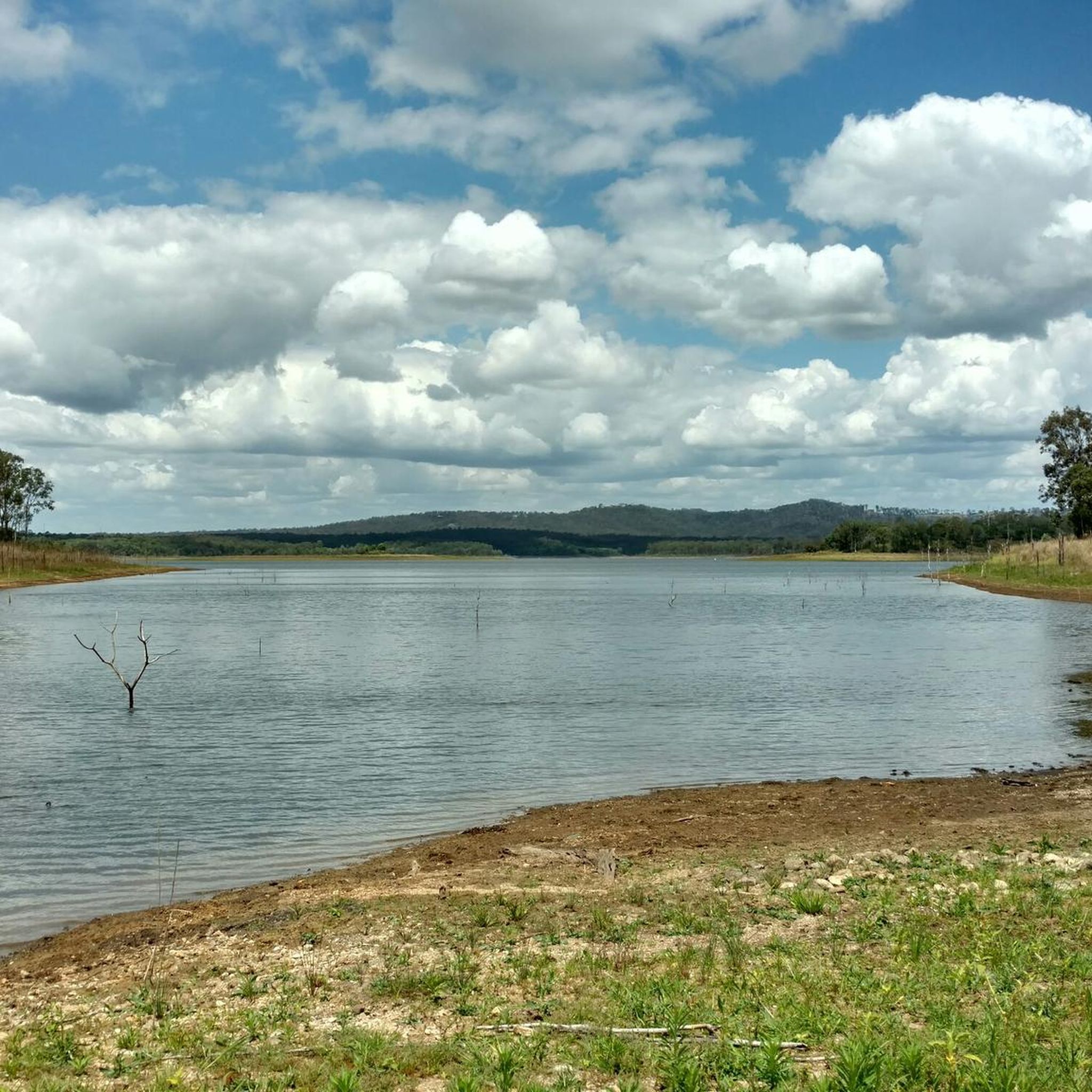
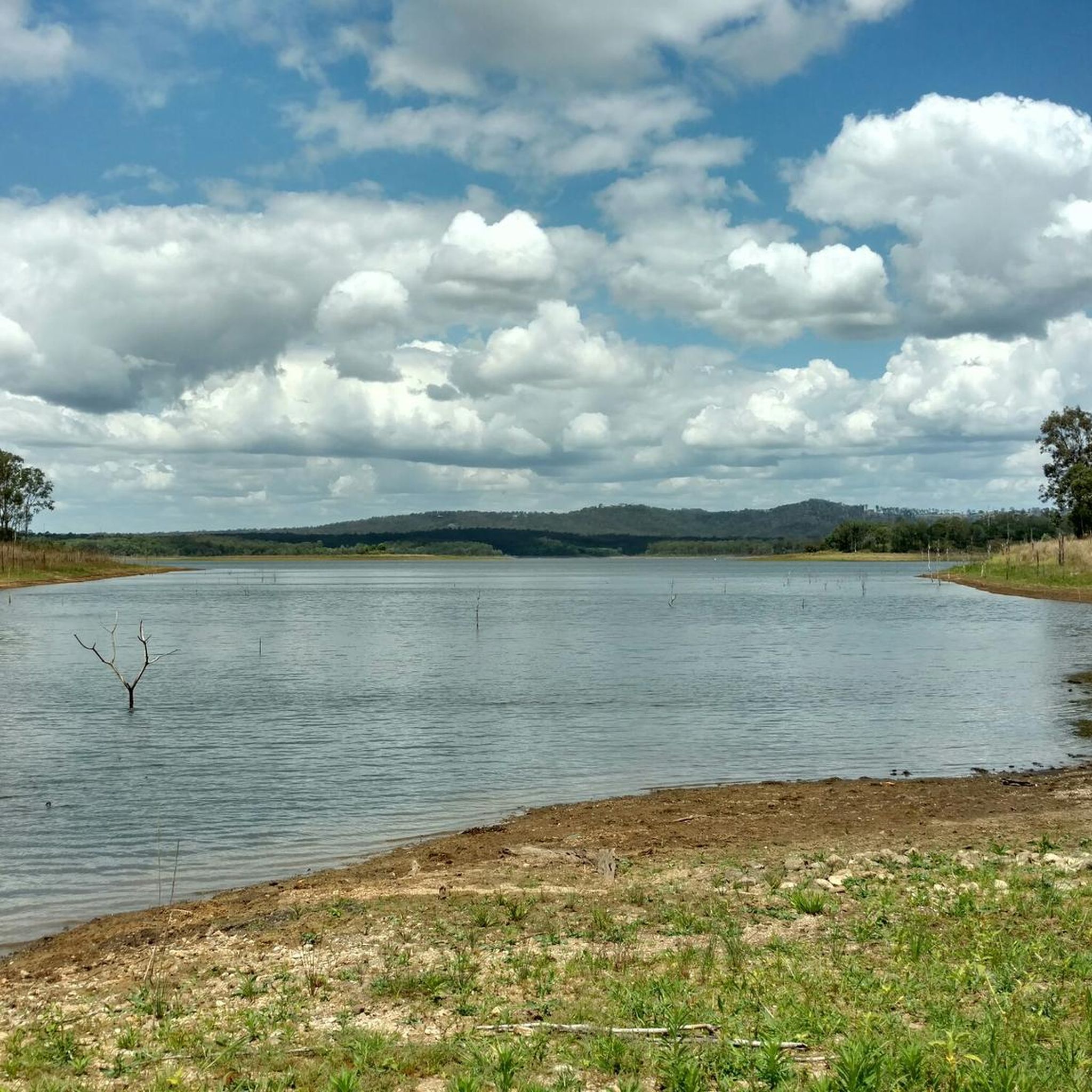
Road cycling routes in Clear Mountain Conservation Park are characterized by challenging terrain and scenic landscapes within the Moreton Bay Region. The park features forested ridges dominated by various eucalypt species and offers elevation gains suitable for road cycling. Riders can experience panoramic views of the D'Aguilar Range and Moreton Bay, with some routes passing by Lake Samsonvale. The area provides a diverse environment for outdoor enthusiasts.
Best road cycling routes in Clear Mountain Conservation Park
- The most popular road…
Last updated: November 17, 2026
25
riders
50.6km
02:36
590m
590m
Moderate road ride. Good fitness required. Some segments of this route may be unpaved and difficult to ride.
4
riders
40.2km
02:06
550m
550m
Moderate road ride. Good fitness required. Mostly well-paved surfaces and easy to ride.

5.0
(1)
45
riders
24.3km
01:04
200m
200m
Easy road ride. Mostly well-paved surfaces and easy to ride.
9
riders
25.0km
01:14
240m
240m
Moderate road ride. Some segments of this route may be unpaved and difficult to ride.
25
riders
46.8km
02:15
170m
170m
Moderate road ride. Good fitness required. Mostly well-paved surfaces and easy to ride.
Get access to more routes and recommendations from other explorers.
Already have an account?
Our route recommendations are based on thousands of hikes, rides, and runs completed by other people on komoot.
Start today with a free account
Your next adventure awaits.
Popular around Clear Mountain Conservation Park


Tips from the Community

The Samford Avenue of Honour is a 700-meter memorial walkway stretching from Burton Lane to the soccer fields along the edge of the parklands. Officially opened in 2015, the avenue was designed as a tribute to mark the centenary of the Gallipoli campaign. It features 100 native hoop pine trees, and 20 mature pines that stand directly in honour of the 20 local soldiers who lost their lives in World War I, World War II, and the Korean War. There are also 80 smaller trees that complete the ceremonial landscape. Standing here, just to the east of the path is a memorial with stone pillars and a tall flagpole, an informational plaque to read up on a take a break to honour fallen service members.
0
0
Samford Creek flows through the heart of Samford, with the historic Samford Village within its geographical “elbow”. In wild areas, the creek has some rugged boulder-hopping and deep swimming holes found slightly further upstream and in urban areas it becomes a scenic backdrop for local cafés and restaurants. The waterway is also an important refuge for local wildlife, supporting native species such as platypuses, bandicoots, and diverse birdlife amidst fringing rainforest pockets and eucalypt woodlands.
0
0
Samford Parklands is an important part of the Samford Valley. It's a sprawling parkland with multiple soccer fields, a netball club, bowls club, tennis courts, and a small skate park. In late 2026, the parklands underwent a 5.8 million dollar expansion adding event lawns, farmhouse-style seating, sheltered picnic areas with barbecues, and a nature play pavilion for families. The parklands are seamlessly blended into the local patches of preserved forests and bushland with accessible, paved walking paths that open up to views across the valleys.
0
0
The Lanita Rail Trail (also known as the Samford Cycle Link or part of the broader Ferny Grove to Samford Rail Trail) is a historic rail path that is shared by runners, walkers and bikers. It's paved and follows the old Dayboro branch railway line. The Lanita Rail Trail is just a 30-minute drive from the Brisbane Central Business District and feels like a nice escape into nature. Look out for railway cuttings and large earth embankments along the route as the path passes under eucalyptus trees that wild wallabies call home.
0
0
Kedron Creek passes under the Lanita Rail Trail and is a lively creek with ducks, herons, egrets, and kingfishers hanging out by the water's edge. It's scenic, surrounded by greenery and the bridge passing over it is very modern, looking like a wooden work of art.
0
0
Lanita Court transitions into the most western end of the Lanita Rail Trail at this point. A metal gate restricts vehicles from entering, and there is signage about the conservation area. This trackhead is just the end of a road and not an official parking area. It's best to park at the eastern end of the Lanita Rail Trail at the car park for Wahminda Park.
0
0

Cabbage Tree Creek flows through Brisbane’s northwestern suburbs, with a shaded corridor that provides habitat for native birds and other wildlife, and is a beautiful natural backdrop for the walking and cycling paths that follow much of the creek. Keep an eye out for rainbow lorikeets, honeyeaters, friarbirds, and you might even spot a heron quietly hunting along its banks.
0
0
Samford Conservation Park is a beautiful bushland reserve near the rural township of Samford Valley northwest of Brisbane. The park protects eucalypt forest and creek habitats that support native wildlife, including wallabies, koalas, and a variety of bird species, while also preserving part of the area’s natural catchment. There is a network of walking and cycling tracks and fire trails throughout the grounds, where you can explore the park’s ridgelines and gullies, making it an ideal location for quiet nature-based recreation close to the city.
0
0
Frequently Asked Questions
How many road cycling routes are available in Clear Mountain Conservation Park?
Clear Mountain Conservation Park offers a diverse selection of over 20 road cycling routes. These routes cater to various skill levels, from easy to difficult, ensuring there's an option for every cyclist.
What kind of terrain and elevation can I expect on road cycling routes in Clear Mountain Conservation Park?
Road cycling in Clear Mountain Conservation Park is characterized by challenging terrain with significant elevation gains. You'll encounter mostly well-paved surfaces, but some longer routes might include unpaved segments. Expect elevation gains ranging from around 650 feet (200 meters) for easier rides to over 1,000 feet (300 meters) for moderate routes, and up to 3,000 feet (900 meters) for more challenging options. The landscape features forested ridges and scenic views.
Are there any easy or family-friendly road cycling routes in the park?
Yes, Clear Mountain Conservation Park offers several easy road cycling routes. For instance, the Maureen Lawrence Park – Camp Mountain Railway Station loop from Samford Village is an easy 15.1-mile (24.2 km) trail that leads through forested areas, often completed in about an hour. Another easy option is the Maureen Lawrence Park loop from Samford Village, which is 17.8 km long.
What are some of the best viewpoints or natural attractions along the road cycling routes?
The park is renowned for its stunning panoramic views. Cyclists can enjoy expansive vistas of the D'Aguilar Range and Moreton Bay. The Clear Mountain Lookout specifically offers broad views of the rural and forested country, including Lake Samsonvale. Routes often pass through forested ridges dominated by various eucalypt species, and an ephemeral creek with diverse rainforest species adds to the natural beauty.
What wildlife might I encounter while cycling in Clear Mountain Conservation Park?
Clear Mountain Conservation Park is home to a variety of wildlife. While cycling, you might spot koalas, wallabies, goannas, and echidnas. The park is also a haven for numerous bird species, including wrens, honeyeaters, kookaburras, parrots, raptors, and owls, enhancing the natural experience of your ride.
Are there any circular road cycling routes available?
Yes, many of the road cycling routes in Clear Mountain Conservation Park are designed as loops. Popular circular routes include the Wahminda Pond – Douglas Franklin Reserve loop from Mount Samson and the Clear Mountain – Mount Samson Railway Station loop from Mount Samson, both offering varied terrain and scenic views.
Where can I park when visiting Clear Mountain Conservation Park for road cycling?
While specific parking areas for road cyclists are not detailed in the guide, access points for routes often originate from nearby towns like Mount Samson or Samford Village. It's advisable to check local parking availability in these areas, especially near the start points of your chosen route.
Is public transport available to Clear Mountain Conservation Park?
The region research does not specifically detail public transport options directly into Clear Mountain Conservation Park for cyclists. Access is generally easier by private vehicle, often starting from surrounding towns like Mount Samson or Samford Village. It's recommended to plan your transport in advance.
What is the best time of year for road cycling in Clear Mountain Conservation Park?
The region generally experiences a subtropical climate. While specific seasonal tips for cycling are not provided, cooler, drier months (typically autumn and winter in Queensland, roughly April to September) often offer more comfortable conditions for strenuous activities like road cycling, avoiding the peak heat and humidity of summer.
Are there cafes or places to eat near the road cycling routes?
While the park itself is a conservation area, routes often start or pass near surrounding villages. For example, the Latin Shack Cafe – View of the Countryside loop from Samford Village suggests that cafes can be found in nearby Samford Village, providing opportunities for refreshments before or after your ride.
What do other road cyclists enjoy most about road cycling in Clear Mountain Conservation Park?
The area is highly rated by the komoot community, with an average score of 4.6 stars from more than 5 reviews. Reviewers often praise the challenging terrain, the scenic landscapes, and the rewarding panoramic views of the D'Aguilar Range and Moreton Bay. The variety of routes catering to different fitness levels is also frequently highlighted.
Are dogs allowed on the road cycling trails in Clear Mountain Conservation Park?
The provided information does not specify whether dogs are permitted on road cycling trails within Clear Mountain Conservation Park. As it is a conservation park, it's generally advisable to check the official park regulations regarding pets before planning your visit. You can find more information on the Queensland Parks and Wildlife Service website.
Most popular routes in Clear Mountain Conservation Park

Get inspired with the komoot mobile app


Explore more
Browse the best Road cycling routes in other regions.
