The best road cycling routes in Samford Conservation Park
5.0
(21)
873
riders
32
rides
Road cycling routes in Samford Conservation Park traverse a landscape characterized by 600 hectares of bushland reserves, including red ironbark forest. The area features undulating terrain, offering varied gradients for cyclists. While the park itself is known for mountain biking, surrounding areas provide shared trails and road cycling opportunities. The Ferny Grove Rail Trail, connecting to Samford Village, is a notable route in the vicinity.
Best road cycling routes in Samford Conservation Park
- The most popular road cycling route is…
Last updated: July 4, 2026
28
riders
73.3km
03:35
410m
410m
Moderate road ride. Good fitness required. Mostly well-paved surfaces and easy to ride.
21
riders
52.5km
03:22
870m
870m
Moderate road ride. Good fitness required. Some segments of this route may be unpaved and difficult to ride.

Sign up for free
8
riders
Moderate road ride. Good fitness required. Mostly well-paved surfaces and easy to ride.
11
riders
26.0km
01:20
340m
340m
Moderate road ride. Good fitness required. Mostly well-paved surfaces and easy to ride.
9
riders
25.0km
01:14
240m
240m
Moderate road ride. Great for any fitness level. Some segments of this route may be unpaved and difficult to ride.
Get access to more routes and recommendations from other explorers.
Sign up for free
Already have an account?
Our route recommendations are based on thousands of hikes, rides, and runs completed by other people on komoot.
Start today with a free account
Your next adventure awaits.
Login or Signup

Tips from the Community

The Gayundah was one of Queensland’s first naval vessels, built in England and commissioned in 1884 for the Queensland Maritime Defence Force. It later became HMAS Gayundah after Federation, served into the First World War period, and was eventually sold for civilian use before being beached below the Woody Point cliffs in 1958 as a breakwater. Today, the rusting remains are a distinctive foreshore landmark and a reminder of Queensland’s short-lived colonial navy.
0
0
The Moreton Bay Cycleway is the easy, scenic link between Woody Point and Redcliffe Jetty, following the foreshore with sealed shared paths and constant views across the bay. This stretch is ideal on foot as well as by bike, with beaches, parks, picnic areas, toilets, and plenty of places to stop along the way. It can get busy with walkers, cyclists, runners, and families, so keep left and watch for passing bikes, especially near the busier waterfront sections.
0
0
Located on the Redcliffe Peninsula in Woody Point, this beach sits along a sheltered stretch of Moreton Bay, with calm, shallow water and wide tidal flats exposed at low tide. The foreshore includes picnic areas, trees, and a jetty, with the shared path running directly alongside the water. Conditions are generally quiet compared to busier nearby beaches, though surfaces can be muddy near the shoreline at low tide.
0
0
The Houghton Highway Bridge connects Brisbane to the Redcliffe Peninsula. A dedicated shared path runs alongside the bridge, used by both cyclists and pedestrians, with continuous views across Moreton Bay. The crossing is exposed, with little shelter from wind or sun, and conditions can feel noticeably different compared to the sheltered sections along the foreshore.
0
0

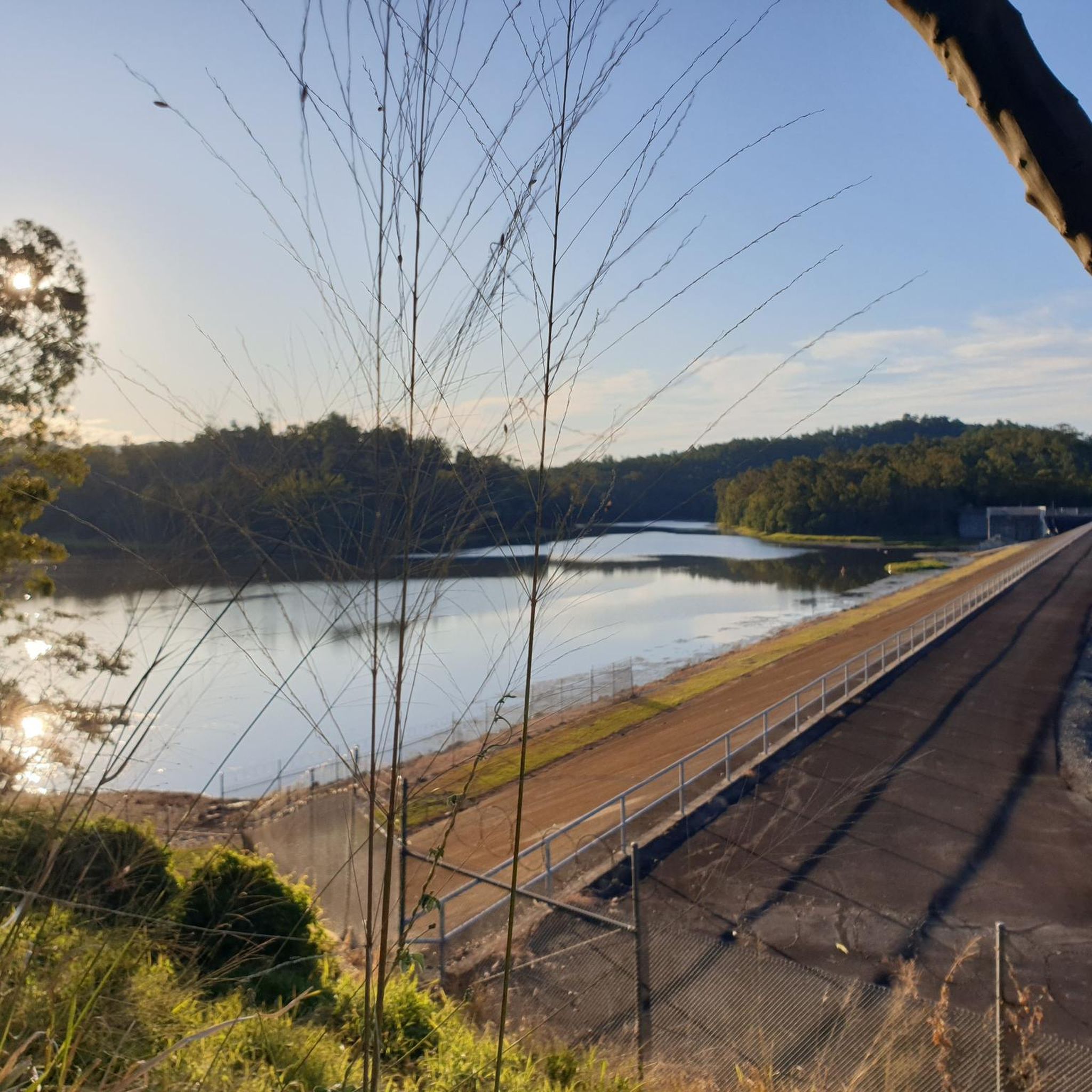
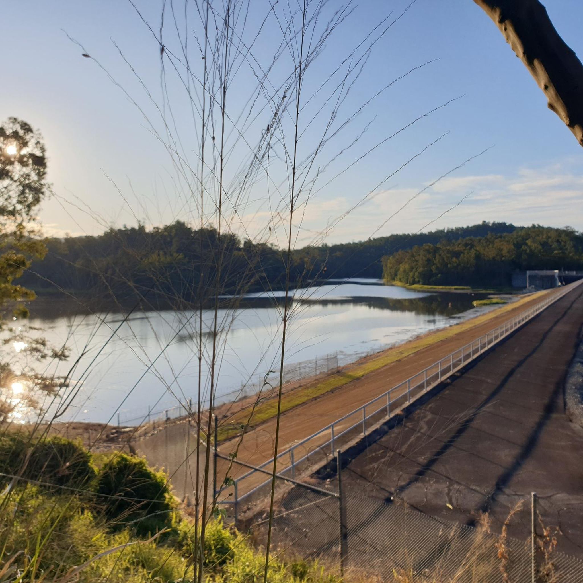
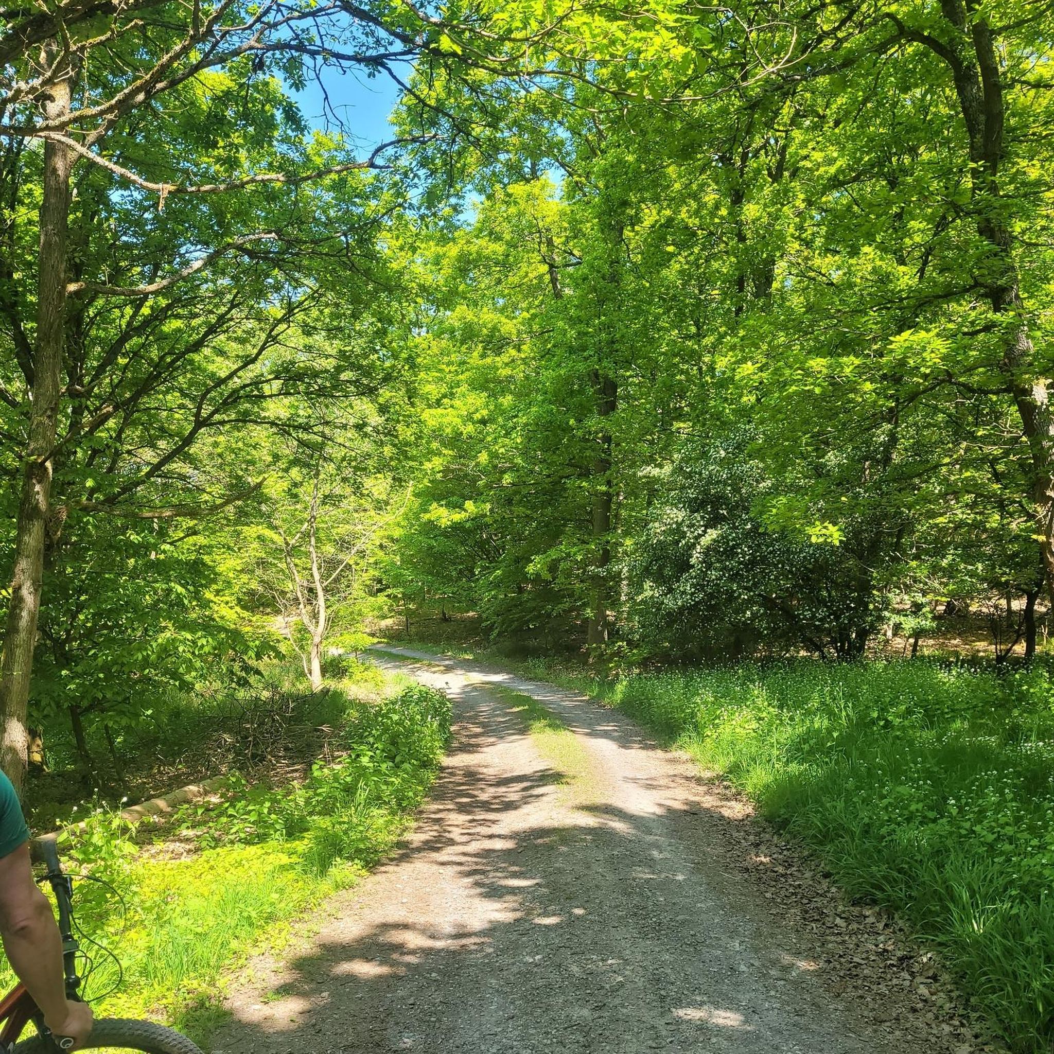
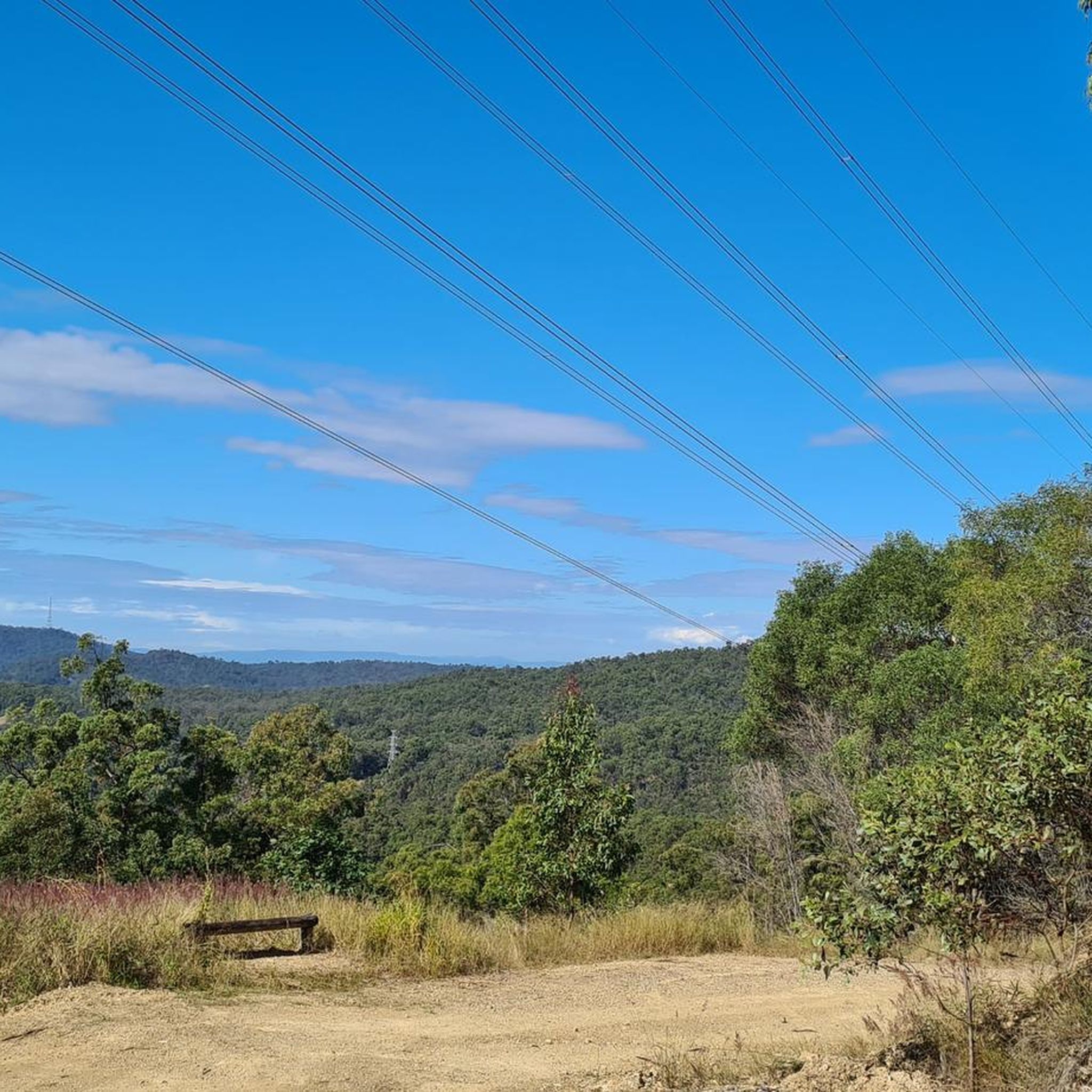
Samford Conservation Park is a beautiful bushland reserve near the rural township of Samford Valley northwest of Brisbane. The park protects eucalypt forest and creek habitats that support native wildlife, including wallabies, koalas, and a variety of bird species, while also preserving part of the area’s natural catchment. There is a network of walking and cycling tracks and fire trails throughout the grounds, where you can explore the park’s ridgelines and gullies, making it an ideal location for quiet nature-based recreation close to the city.
0
0
Ironbark Gully picnic area is a popular day-use facility within Samford Conservation Park, set among open eucalypt forest near the park’s main access point at Samford Valley. There are picnic tables, shelters, and a trailhead for the short Crebra Circuit walking track, making it a convenient start or end point for exploring the park. Surrounded by ironbark woodland and native wildlife habitat, it’s a quiet bush setting ideal for a lovely picnic with access to the park’s wider trail network.
0
0

Nice ride. Can be narrow in places and busy with pedestrians, but you don't ride this one at race pace. This is a waterfront leisure cruise.
0
0

Frequently Asked Questions
What kind of terrain can I expect on road cycling routes around Samford Conservation Park?
The road cycling routes in the vicinity of Samford Conservation Park feature undulating terrain, offering varied gradients. While the park itself is characterized by bushland and red ironbark forest, surrounding areas like the Ferny Grove Rail Trail provide shared paths. Be prepared for some sections where you might share the road with cars or encounter hills, making it suitable for cyclists comfortable with such conditions.
Are there any easy road cycling routes suitable for beginners or families?
Yes, there are several easier options available. Out of the 45 road cycling routes in the area, 11 are classified as easy. These routes often utilize shared trails, such as portions of the Ferny Grove Rail Trail, which are mostly flat and well-maintained. For a moderate option that connects local reserves, consider the Wightman Reserve – Hutton Reserve loop from Ferny Grove, which is 26.5 km long.
Where can I find scenic viewpoints or natural features along the road cycling routes?
The region is part of the Mountains to Mangroves Corridor, offering open forest landscapes and scenic views across undulating terrain. While specific viewpoints are not always marked for road cyclists, the general environment provides a pleasant backdrop. Routes like the Latin Shack Cafe – View of the Countryside loop from Ferny Grove offer expansive countryside views as you cycle through the area.
Is public transport available to access road cycling routes near Samford Conservation Park?
Yes, the Ferny Grove Rail Trail, a key road cycling route in the area, connects to Ferny Grove, which has a train station. This allows cyclists to start their journey from Ferny Grove and cycle towards Samford Village, providing a convenient public transport option for accessing the routes.
Are there any cafes or amenities near the road cycling routes?
Samford Village, which is connected by routes like the Ferny Grove Rail Trail, offers various amenities including cafes, pubs, and accommodation options. The Ironbark Gully picnic area within Samford Conservation Park also provides facilities such as wood-fired barbecues, picnic shelters, and toilets, which can be a convenient stop if your route passes nearby.
Can I bring my dog on the road cycling trails in Samford Conservation Park?
While Samford Conservation Park itself has specific rules regarding dogs on trails, the road cycling routes in the surrounding areas often utilize shared paths or public roads. It's best to check local signage for specific regulations on shared trails. Generally, dogs must be on a leash in public areas. For detailed park-specific information, you can visit the Queensland Parks and Wildlife Service website: parks.qld.gov.au.
What is the best time of year for road cycling in this region?
The region generally experiences pleasant weather for outdoor activities. While specific seasonal recommendations for road cycling aren't provided, the bushland environment means that cooler, drier months might be more comfortable to avoid intense heat and humidity. Always check the local weather forecast before heading out.
Are there any permits required for road cycling in Samford Conservation Park or its surrounding areas?
Generally, no specific permits are required for road cycling on public roads or designated shared trails outside the immediate conservation park boundaries. However, if you plan to venture into specific park areas or mountain biking trails, it's always advisable to check the official Queensland Parks and Wildlife Service website for any updated regulations or permit requirements: parks.qld.gov.au.
How long do road cycling routes typically take in the Samford Conservation Park area?
The duration of routes varies significantly based on distance and difficulty. For example, the moderate Latin Shack Cafe – View of the Countryside loop from Ferny Grove, which is 52.2 km, typically takes around 3 hours and 19 minutes. Shorter routes, like the 25.8 km Brian Battersby Reserve – Maureen Lawrence Park loop from Ferny Hills, can be completed in about 1 hour and 17 minutes.
What do other road cyclists enjoy most about cycling in the Samford Conservation Park area?
The area is highly rated by the komoot community, with an average score of 5.0 stars from over 20 reviews. Cyclists often praise the varied terrain, the bushland reserves, and the shared trails that connect to nearby villages. The network offers options for various ability levels, from easy to difficult, ensuring there's something for everyone.
Are there any loop trails for road cycling in the region?
Yes, many of the road cycling routes in the area are designed as loops, allowing you to start and finish at the same point. Examples include the popular Latin Shack Cafe – View of the Countryside loop from Ferny Grove and the Latin Shack Cafe – View of the Countryside loop from Samford Village, both offering circular journeys through the scenic countryside.
What are the options for parking when accessing road cycling routes?
Parking is generally available at key access points for popular routes. For instance, you can often find parking at Samford Conservation Park itself, which provides access to surrounding shared trails. Additionally, starting points in nearby towns like Ferny Grove or Samford Village usually have parking facilities, making it convenient to begin your ride.
Most popular routes in Samford Conservation Park

Get inspired with the komoot mobile app


Explore more
Browse the best Road cycling routes in other regions.
