The best road cycling routes around Glattbach
4.6
(1243)
15,512
riders
275
rides
Road cycling routes around Glattbach traverse a picturesque landscape characterized by rolling hills, green meadows, and extensive orchards and vineyards. The region is situated in a valley on the western edge of the Spessart range, providing access to varied terrain including forest paths and climbs. The nearby Main river catchment offers flatter sections along the well-developed Main Cycle Path. This diverse topography supports a range of road cycling experiences.
Best road cycling routes around Glattbach
- The most popular road cycling route is Schluchthof Kleinostheim – Hohler Buckel Ascent loop from Aschaffenburg Hbf, a 20.1 miles (32.3 km) trail that takes 1 hour 32 minutes to complete. This moderate route features an ascent from Aschaffenburg Hbf.
- Another top favourite among local road cyclists is Quiet Road Through the Forest – Rows of vines along the path 🍇 loop from Aschaffenburg Hochschule, an easy 29.0 miles (46.7 km) path. This route leads through quiet forest roads alongside rows of vines.
- Local road cyclists also love the Climb to Engländer – Engländer Climb (Spessart Nature Park) loop from Aschaffenburg Hochschule, a 29.3 miles (47.1 km) trail leading through the Spessart Nature Park, often completed in about 2 hours 18 minutes.
- Road cycling around Glattbach is defined by rolling hills, vineyards, and the forest paths of the Spessart range. The network offers options for different ability levels, from easy rides along the Main river to more challenging climbs.
- The routes in Glattbach are highly rated by the komoot community with an average score of 4.6 stars from over 900 reviews. More than 14,000 road cyclists have used komoot to explore Glattbach's varied terrain.
Last updated: October 4, 2026
4.5
(41)
318
riders
Moderate road ride. Good fitness required. Mostly well-paved surfaces and easy to ride.
4.7
(18)
209
riders
Easy road ride. Great for any fitness level. Mostly well-paved surfaces and easy to ride.

4.6
(28)
202
riders
Moderate road ride. Good fitness required. Some segments of this route may be unpaved and difficult to ride.
4.2
(41)
224
riders
38.8km
01:58
390m
390m
Moderate road ride. Good fitness required. Some segments of this route may be unpaved and difficult to ride.
4.5
(23)
195
riders
Moderate road ride. Good fitness required. Mostly well-paved surfaces and easy to ride.
Get access to more routes and recommendations from other explorers.
Already have an account?
Our route recommendations are based on thousands of hikes, rides, and runs completed by other people on komoot.
Start today with a free account
Your next adventure awaits.

Tips from the Community

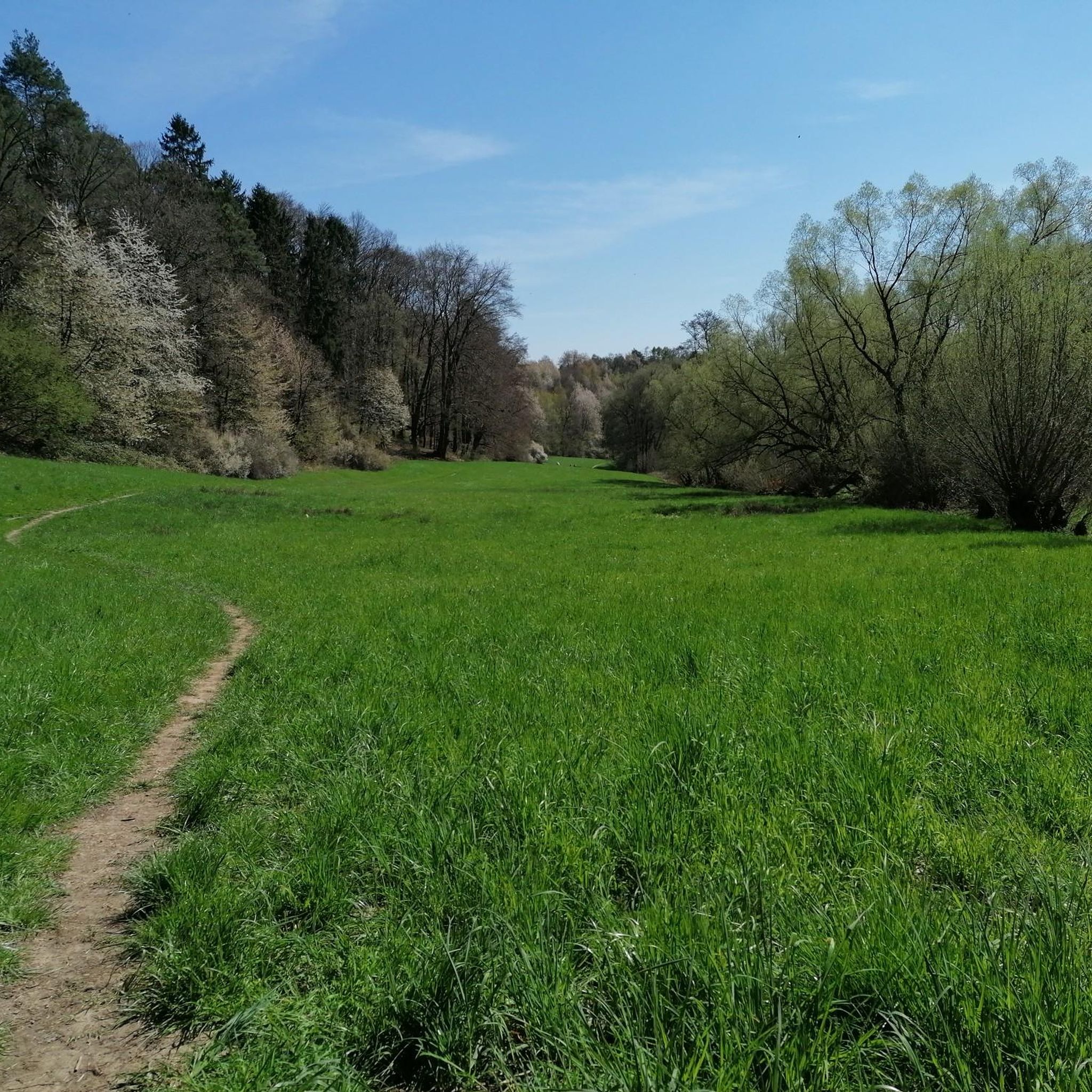
Great when you want to go from the Main towards the city center and can walk through this arch!
1
0

Town exit in the direction of Aschaffenburg.
0
0
Here you can safely store your bike.
0
0
A new cycle path is being built here.
0
0

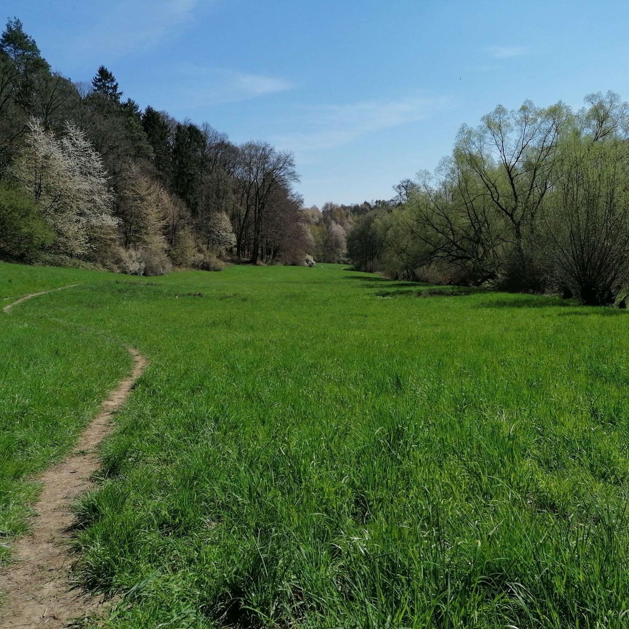
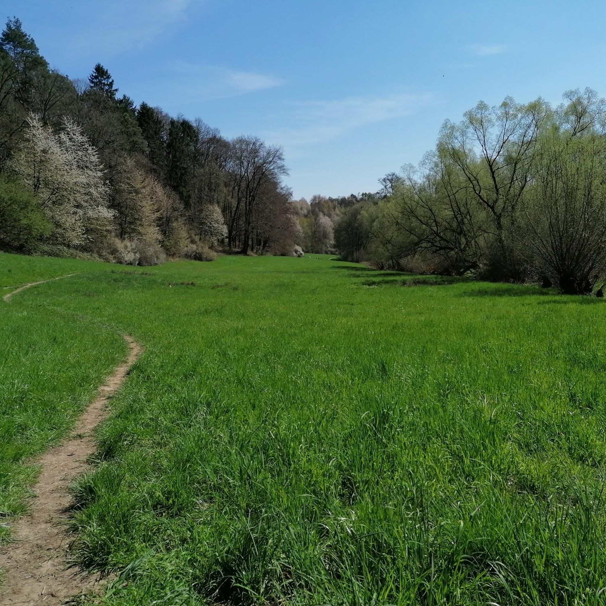
Super ascent or descent. The gradient percentages stay in the moderate range with a maximum of 8% and the asphalt is quite okay to ride on. In summer, you have to be a bit careful with the play of shadows caused by the sunlight filtering through the treetops. Here and there, you might otherwise overlook a small pothole in the asphalt or a crack/longitudinal joint in the road surface.
1
0
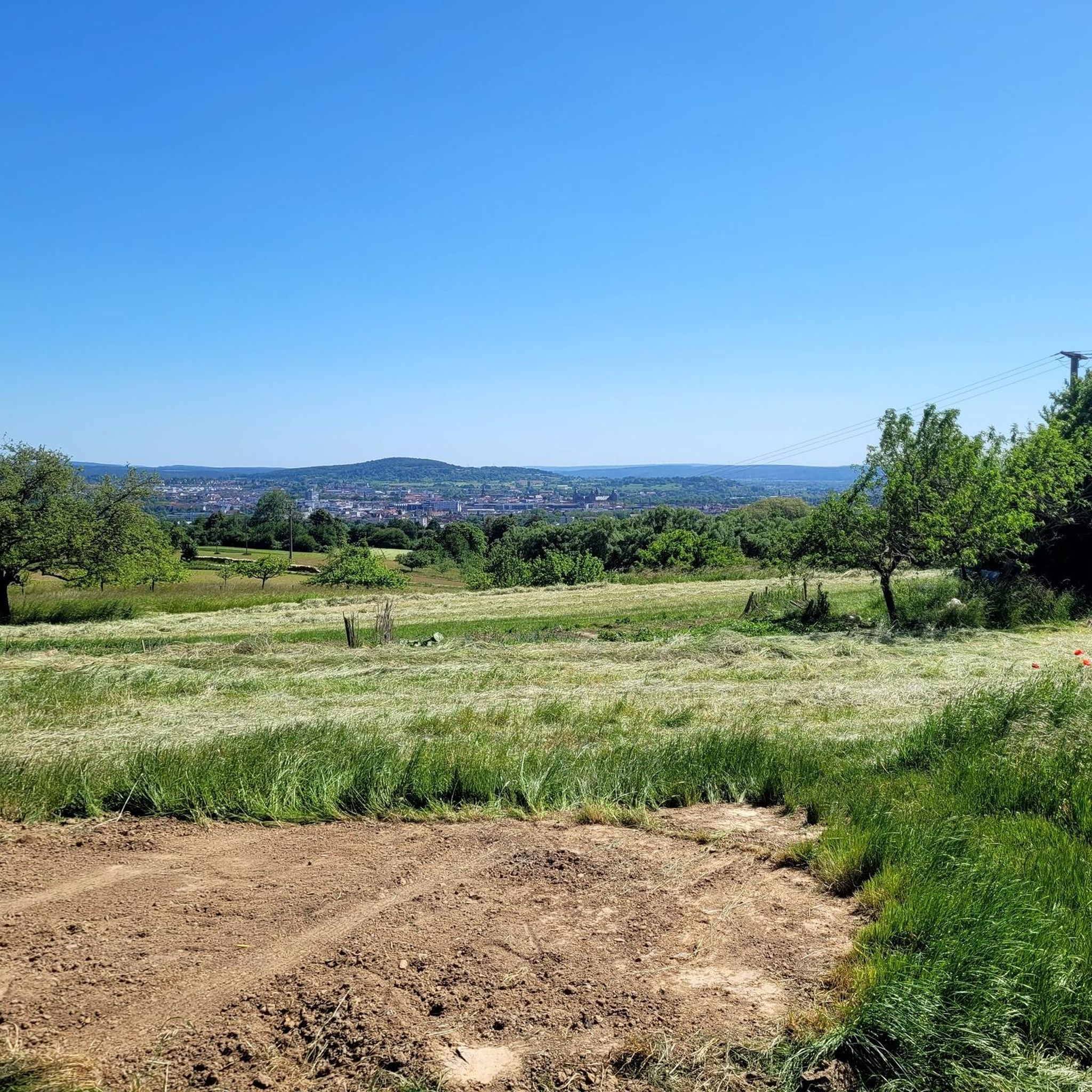
Wonderful view under a bright blue sky.
0
0
Here it goes down to Blankenbach.
0
0
Beautiful Biergarten and delicious food. 😋
0
0
Frequently Asked Questions
What kind of terrain can I expect on road cycling routes around Glattbach?
The region around Glattbach offers a varied landscape for road cyclists. You'll find a mix of rolling hills, green meadows, and extensive orchards and vineyards. Routes often traverse the western edge of the Spessart range, providing access to more challenging forest paths and climbs. Additionally, flatter sections are available along the well-developed Main Cycle Path, which follows the nearby Main river catchment.
Are there road cycling routes suitable for beginners or those looking for an easier ride?
Yes, Glattbach offers options for various ability levels. While the Spessart range provides climbs, you can find easier rides, particularly along the Main river. For example, the Quiet Road Through the Forest – Rows of vines along the path 🍇 loop from Aschaffenburg Hochschule is an easy 29.0-mile (46.7 km) path that leads through quiet forest roads alongside vineyards.
What is the best time of year for road cycling in Glattbach?
The best seasons for road cycling in the Glattbach area are spring and autumn. During these times, the weather is typically mild, and nature is at its most vibrant, offering picturesque scenery. Summer can also be pleasant, but spring and autumn generally provide more comfortable temperatures for longer rides.
Are there any challenging road cycling routes for experienced riders?
Absolutely. The region's proximity to the Spessart range means there are plenty of routes with significant climbs. The Climb to Engländer – Engländer Climb (Spessart Nature Park) loop from Aschaffenburg Hochschule, for instance, is a moderate 29.3-mile (47.1 km) trail with over 600 meters of elevation gain, leading through the Spessart Nature Park. Another challenging option is the Descent to Waldaschaff – Hafenlohrtal Nature Reserve loop from Aschaffenburg Hbf, which covers 56.6 km with similar elevation.
What kind of landmarks or scenic viewpoints can I expect to see along the road cycling routes?
Road cycling routes around Glattbach offer numerous scenic opportunities. You can find viewpoints like the View of Johannisburg Castle or the Ludwig Tower (Hahnenkamm). Historic towns such as Aschaffenburg, with its Johannisburg Castle, and Miltenberg, with its charming old town, are also worth visiting and can be incorporated into your rides.
Are there any circular road cycling routes available?
Yes, many of the road cycling routes around Glattbach are designed as loops, allowing you to start and finish at the same point. Examples include the popular Schluchthof Kleinostheim – Hohler Buckel Ascent loop from Aschaffenburg Hbf and the Last switchback before Dörrmorsbach loop from Aschaffenburg Hbf.
What do other road cyclists say about the routes in Glattbach?
The road cycling routes in Glattbach are highly regarded by the komoot community, holding an average rating of 4.6 stars from over 900 reviews. Cyclists often praise the varied landscape, from rolling hills and vineyards to the forest paths of the Spessart range, and the well-developed roads that cater to different skill levels.
Is it easy to find parking for cyclists in Glattbach or nearby areas?
While specific parking areas for cyclists in Glattbach town center aren't detailed, the district of Aschaffenburg, where Glattbach is located, is well-equipped for outdoor activities. You can typically find parking in larger towns like Aschaffenburg, which serve as common starting points for many routes, including those accessible from Glattbach.
Can I access road cycling routes around Glattbach using public transport?
Many routes around Glattbach are accessible from larger transport hubs. For example, several popular routes, such as the Schluchthof Kleinostheim – Hohler Buckel Ascent loop and the Descent to Waldaschaff – Hafenlohrtal Nature Reserve loop, start from Aschaffenburg Hbf (main train station), making them convenient to reach by public transport.
Are there cafes or pubs along the road cycling routes for a break?
The region around Glattbach, including historic towns like Aschaffenburg and Miltenberg, offers various opportunities for breaks. Many routes pass through or near villages and towns where you can find cafes, pubs, and restaurants to refuel and relax during your ride.
How many road cycling routes are there in total around Glattbach?
There are over 280 road cycling routes available around Glattbach, offering a wide range of distances and difficulties to explore the picturesque landscapes of the region.
Most popular attractions around Glattbach

Get inspired with the komoot mobile app


Explore more
Browse the best Road cycling routes in other regions.
