The best running trails in Santiam State Forest
132
runners
24
runs
Jogging in Santiam State Forest offers routes through a landscape defined by dense coniferous forests, river valleys, and significant elevation changes. The terrain includes challenging climbs and descents, characteristic of the mountainous region in Oregon. Runners can expect to navigate varied paths, from established trails to forest roads, providing a robust outdoor experience. The area is well-suited for those seeking longer, more strenuous running routes.
Best jogging routes in Santiam State Forest
- The most popular jogging route is Little North…
Last updated: May 11, 2026
13.1km
01:41
410m
410m
Hard run. Very good fitness required. Mostly paved surfaces. Suitable for all skill levels.
22.7km
03:02
860m
860m
Hard run. Very good fitness required. Mostly paved surfaces. Suitable for all skill levels.

Sign up for free
11.0km
02:32
1,110m
1,110m
Hard run. Very good fitness required. Sure-footedness, sturdy shoes and alpine experience required.
2
runners
15.5km
02:31
950m
950m
Hard run. Very good fitness required. Mostly paved surfaces. Suitable for all skill levels.
23.7km
03:47
1,380m
1,380m
Hard run. Very good fitness required. Mostly paved surfaces. Suitable for all skill levels.
Get access to more routes and recommendations from other explorers.
Sign up for free
Already have an account?
Our route recommendations are based on thousands of hikes, rides, and runs completed by other people on komoot.
Start today with a free account
Your next adventure awaits.
Login or Signup
Popular around Santiam State Forest
Tips from the Community

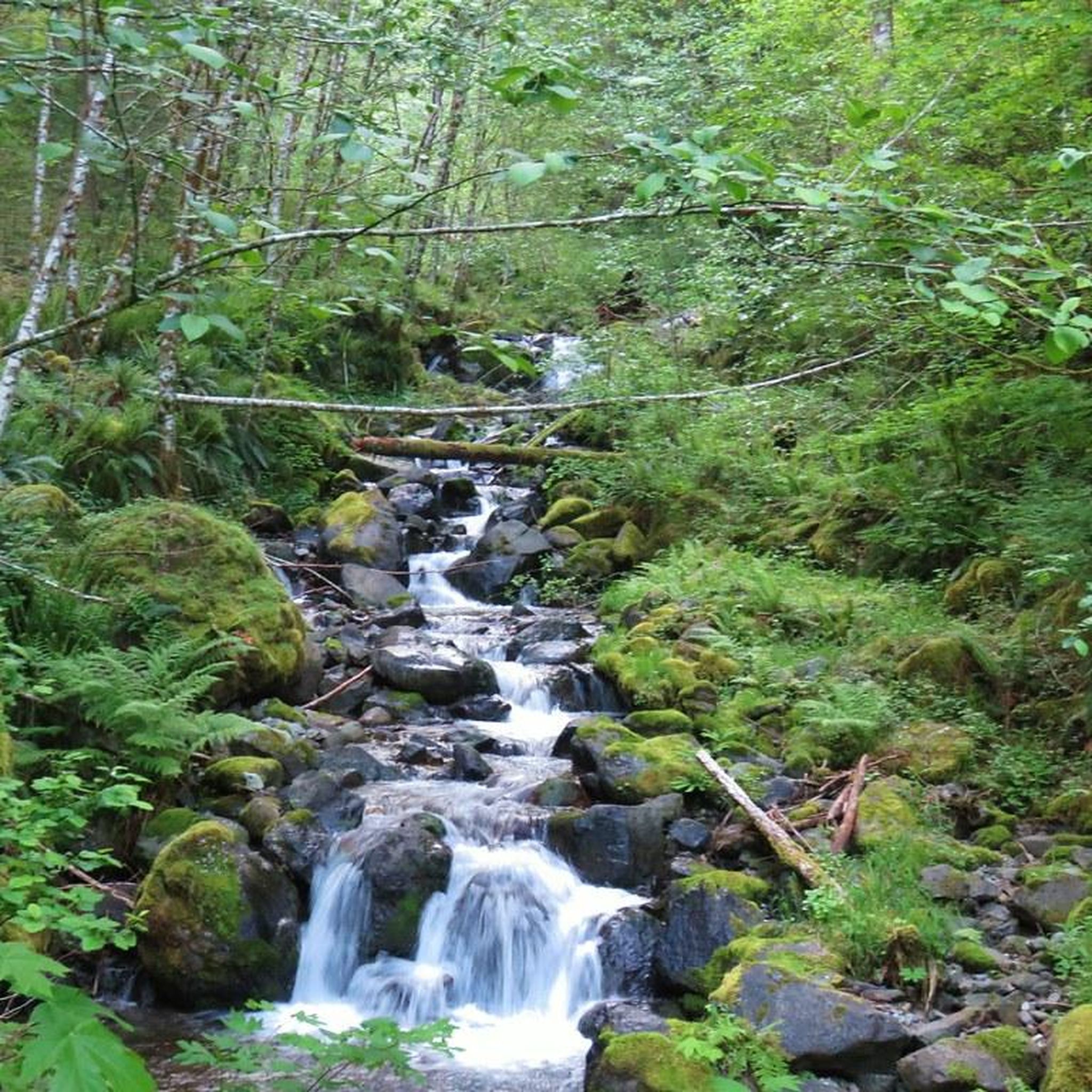
The trail meanders beside the picturesque Little North Santiam River, weaving through Douglas-Fir forests, unveiling cascading falls, emerald pools, and a majestic gorge enclosed by towering rock walls, graced by rustic log footbridges.
0
0

Lookout Mountain Road is part of a vast system of forest roads that pass through this area. Some sections of this double-track path are locked within the trees while other spots offer open views. The road is definitely hilly, but it's a good fit for road runners and trail runners alike.
0
0
In this Oregon paradise, nature's beauty knows no bounds. We lack enough names for its wonders. An anonymous stream merges with Sardine Creek, cascading into the North Santiam River, a testament to nature's majesty.
0
0
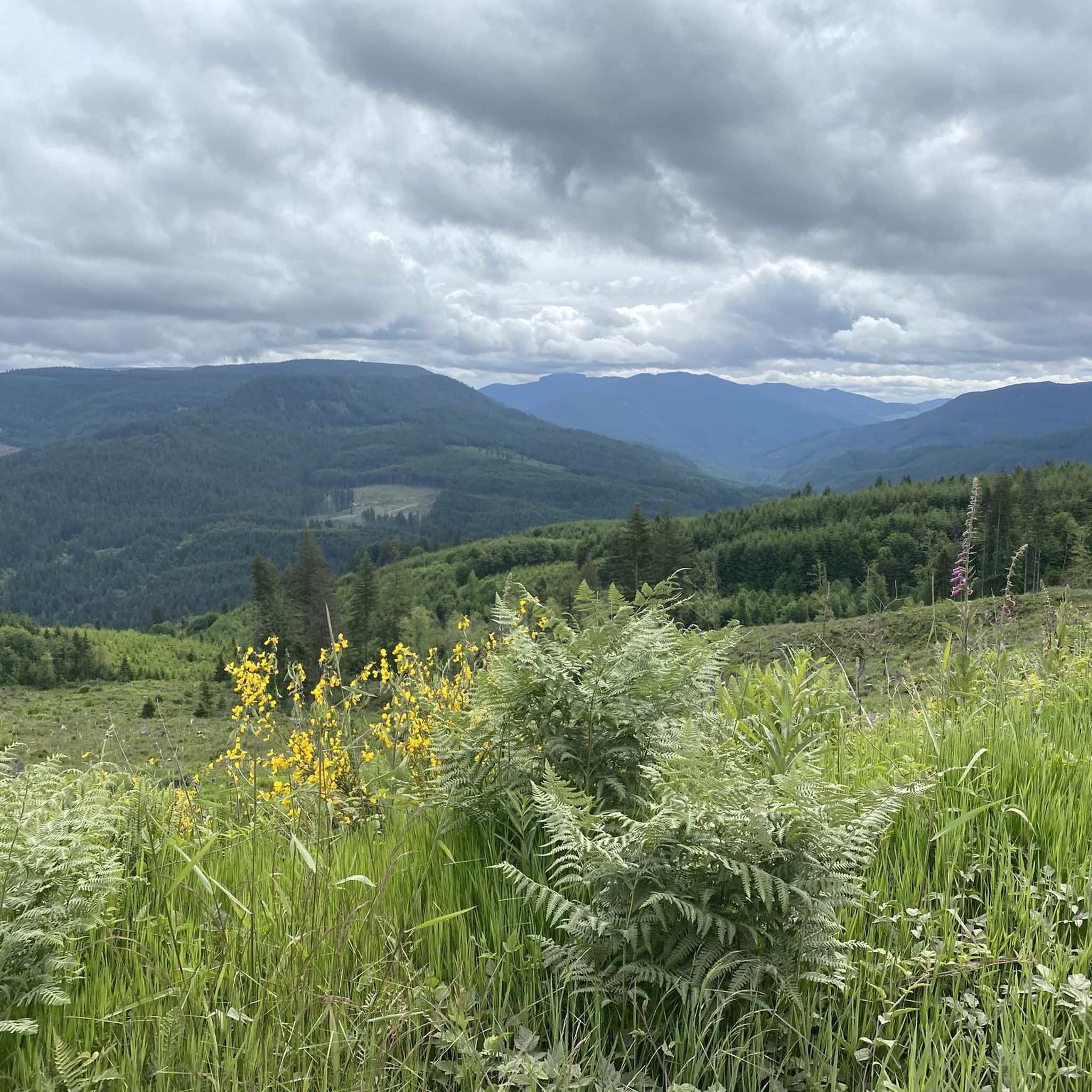
Nearing the summit, the world unfolds. Gaze upon Detroit Lake, and the encircling Rocky Top, Water Tower Mountain, and Mayflower summits. From the peak, the vista extends far, revealing Mount Jefferson, the Three Sisters, and even the distant silhouette of Diamond Peak on the horizon.
0
0
Three Pools Day Use Area on the North Fork of the Santiam River draws over 15,000 annual visitors. Its stunning emerald pools and picnic spots make it a top swimming destination in Oregon, especially on sunny days when large crowds gather.
0
0
Frequently Asked Questions
How many running routes are available in Santiam State Forest?
Santiam State Forest offers a selection of 26 running routes. These routes are primarily designed for experienced runners, featuring moderate to difficult terrain.
Are there any easy or beginner-friendly jogging trails in Santiam State Forest?
The jogging routes in Santiam State Forest are generally considered more challenging. There are no routes classified as 'easy'; instead, you'll find 9 moderate and 17 difficult trails, making them better suited for runners seeking a strenuous workout.
What kind of terrain can I expect on the jogging routes in Santiam State Forest?
Runners in Santiam State Forest will encounter dense coniferous forests, river valleys, and significant elevation changes. The terrain includes varied paths, from established trails to forest roads, characteristic of Oregon's mountainous regions.
Are there any loop running trails in Santiam State Forest?
Yes, several routes offer a loop experience. For example, the Little North Santiam Trail Loop is an 8.1-mile difficult route, and the Lookout Mountain Road Loop is a challenging 14.1-mile path with substantial elevation gain.
What are some notable natural attractions or viewpoints along the running routes?
While jogging, you might encounter several natural highlights. Keep an eye out for stunning waterfalls like Abiqua Falls, Lower Butte Creek Falls, and Shellburg Falls. There's also the unique Natural Rock Arch to explore.
Are the jogging trails in Santiam State Forest dog-friendly?
Santiam State Forest generally welcomes dogs on trails, but it's crucial to keep them on a leash and practice responsible pet ownership, including packing out all waste. Always check specific trail regulations before heading out.
Are there any family-friendly running routes suitable for children?
Given that all routes are classified as moderate to difficult with significant elevation changes, most trails in Santiam State Forest are not typically recommended for young children or families seeking an easy outing. They are better suited for experienced runners.
What is the typical length and duration of running routes in this forest?
The routes vary significantly in length and duration. For instance, the Sardine Mountain Loop Trail is about 6.9 miles (11 km) and takes around 2 hours 32 minutes, while the High Ridge Trail spans approximately 14.7 miles (23.7 km) and can take over 3 hours 45 minutes to complete.
What should I wear for jogging in Santiam State Forest?
Given the varied terrain and potential for significant elevation changes, it's advisable to wear sturdy trail running shoes with good grip. Layered clothing is recommended to adapt to changing weather conditions, and bringing water and navigation tools is essential for longer, more remote routes.
What do other runners enjoy most about the trails in Santiam State Forest?
Over 140 runners have explored Santiam State Forest with komoot, often praising the challenging nature of the routes and the immersive experience of running through dense forests and river valleys. The substantial elevation gains are frequently highlighted as a key feature for those seeking a strenuous workout.
Are there specific parking areas for trailheads in Santiam State Forest?
While specific parking details for each trailhead are not provided here, it's common for state forests to have designated parking areas at popular access points. We recommend checking the individual route pages on komoot or local forest service websites for precise parking information before your visit.
Can I jog in Santiam State Forest during winter?
Winter conditions in Santiam State Forest can vary greatly, with snow and ice possible at higher elevations. While some trails may remain accessible, others could be challenging or unsafe. Always check local weather forecasts and trail conditions before attempting winter running, and be prepared for colder temperatures and potentially slippery surfaces.
Most popular attractions in Santiam State Forest

Get inspired with the komoot mobile app


Explore more
Browse the best Running Trails & Routes in other regions.
