The best road cycling routes in Tiger Mountain State Forest
4.7
(15)
1,066
riders
44
rides
Road cycling in Tiger Mountain State Forest offers diverse landscapes and well-maintained routes. The region is characterized by towering evergreen forests, picturesque creeks, and mountain vistas as part of the "Issaquah Alps." Cyclists can experience varied terrain, from mostly well-paved surfaces to routes with significant elevation gains. The area also provides views of Lake Washington from several pathways.
Best road cycling routes in Tiger Mountain State Forest
- The most popular road cycling route is Cedar River Trail – Cedar River…
Last updated: October 2, 2026
4.0
(1)
7
riders
50.4km
02:22
440m
440m
Moderate road ride. Good fitness required. Mostly well-paved surfaces and easy to ride.
4
riders
41.0km
02:59
330m
330m
Moderate road ride. Good fitness required. Some segments of this route may be unpaved and difficult to ride.

5.0
(1)
22
riders
47.3km
02:22
500m
500m
Moderate road ride. Good fitness required. Some segments of this route may be unpaved and difficult to ride.
5.0
(1)
14
riders
35.6km
01:52
560m
560m
Moderate road ride. Good fitness required. Mostly well-paved surfaces and easy to ride.
10
riders
65.7km
03:23
600m
600m
Moderate road ride. Good fitness required. Some segments of this route may be unpaved and difficult to ride.
Get access to more routes and recommendations from other explorers.
Already have an account?
Our route recommendations are based on thousands of hikes, rides, and runs completed by other people on komoot.
Start today with a free account
Your next adventure awaits.
Tips from the Community

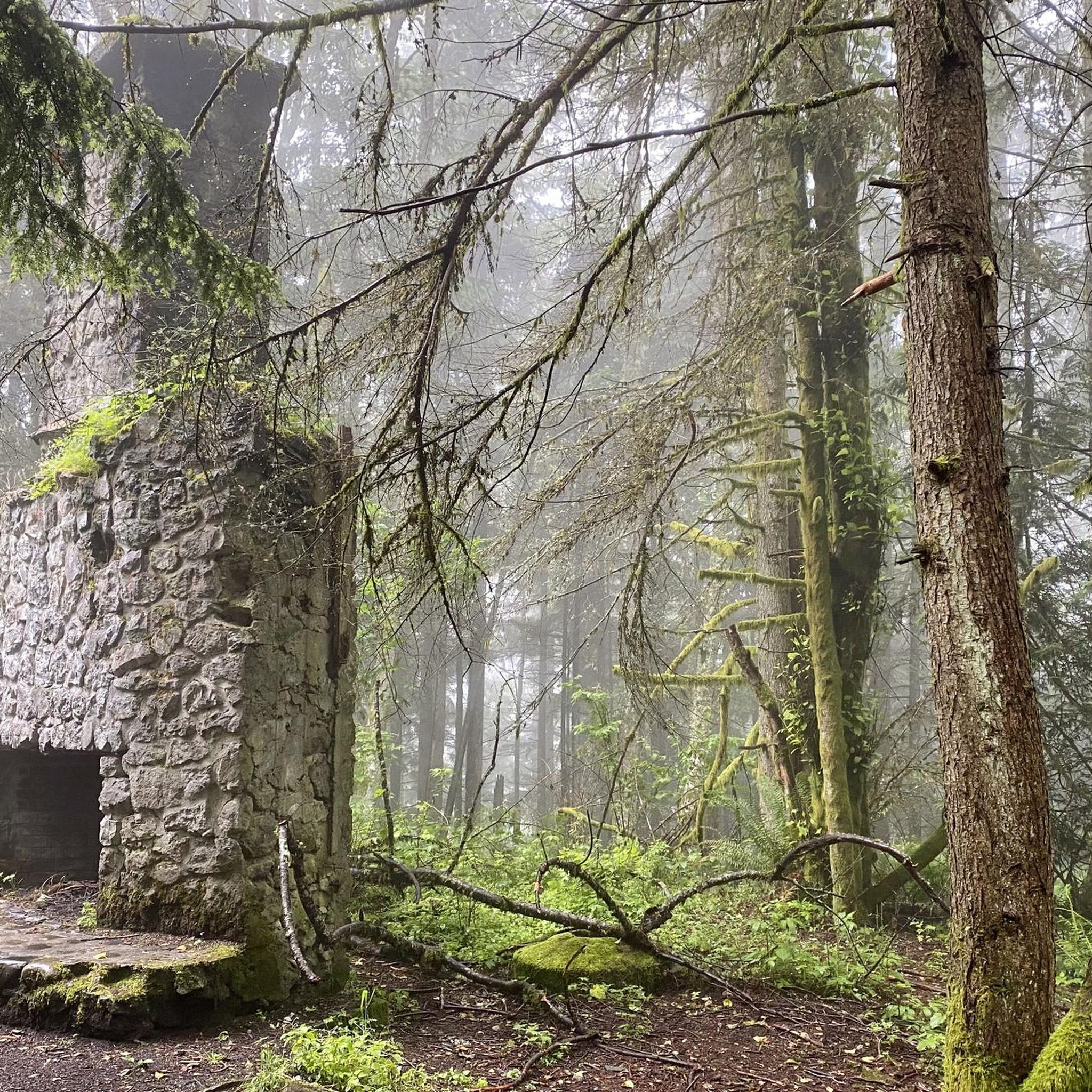
A section of the trail is closed about three miles south of Landsburg. An unmarked detour is available on the pipeline road.
0
0


Lake Wilderness is the largest lake in Maple Valley and has a namesake lodge that is designated a King County landmark.
0
0

The Historic Snoqualmie Depot, part of the National Register of Historic Places, is Washington's longest operating train depot. The museum features railroad history exhibits and a lovely bookstore and gift shop. It is free to visit and open 7 days a week (closed Thanksgiving, Christmas Day, and New Year's Day).
0
0

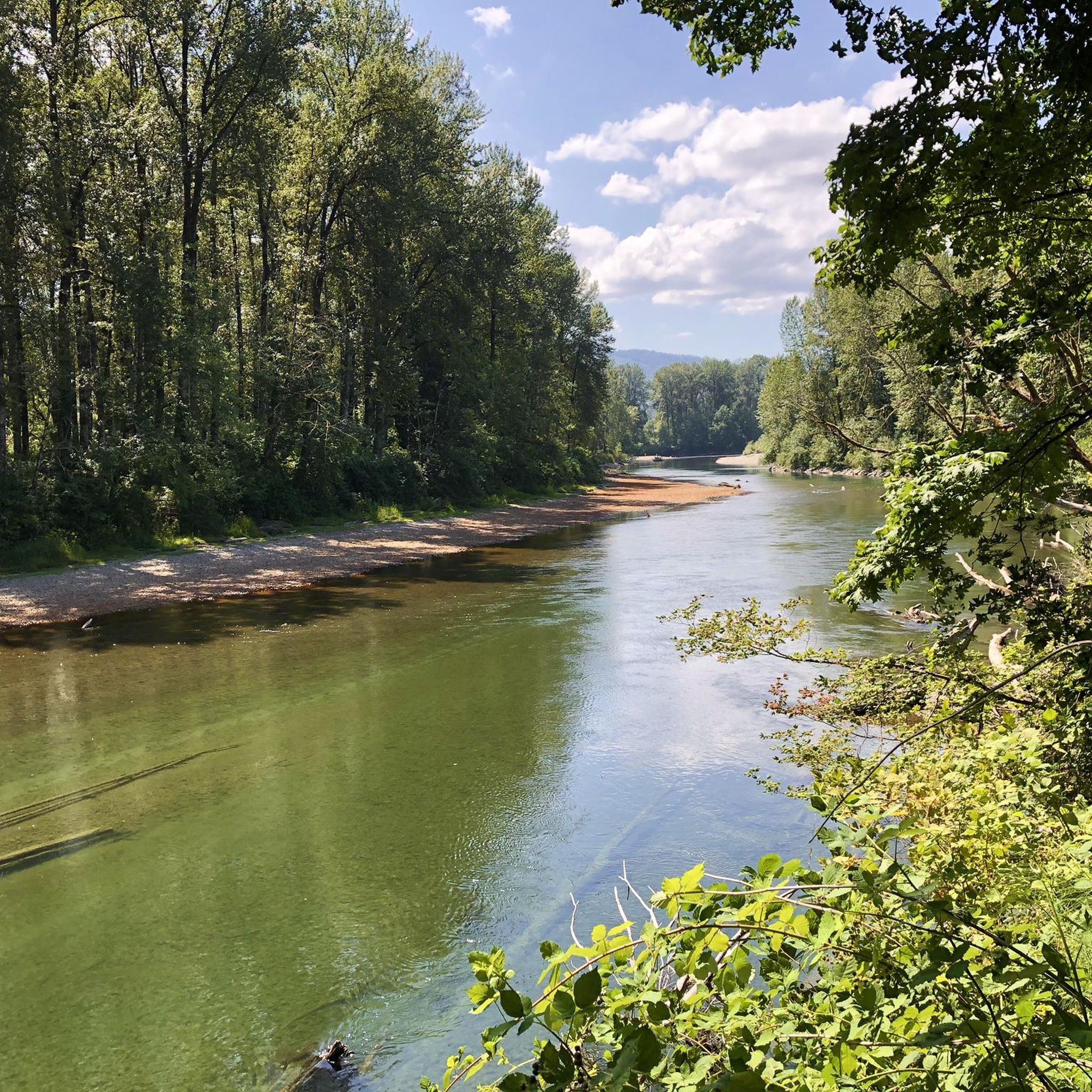
This spot along the Cedar River Trail is a great spot to stop and view the river or take a break just below the overpass for South Jones Road.
0
0
The South Fork Snoqualmie River begins near Snoqualmie Pass and flows for over 30 miles before merging with the main Snoqualmie River in North Bend.
0
0
From this point you get a nice view of Mount Si to the east. This is a great spot to take in the views as you ride.
0
0
This massive log was cut in 1976 after being struck by lightning. Its seedling dates back to 1576, and it was brought to this location by railroad in 1979. It is an exhibit to help people understand the challenges and opportunities the forest has provided to our ancestors who worked in the woods or mills to construct homes and businesses. It is a great spot to stop and reflect on its history and the importance it brings to the community.
0
0
Frequently Asked Questions
What kind of road cycling experiences can I expect in Tiger Mountain State Forest?
Road cycling in Tiger Mountain State Forest offers diverse landscapes, from towering evergreen forests and picturesque creeks to stunning mountain vistas, often with views of Mount Rainier and Lake Washington. Routes vary in difficulty, with options for easy, moderate, and challenging rides, featuring elevation gains from under 1,000 feet to over 3,000 feet. Many routes are on well-paved surfaces, providing a smooth experience.
Are there road cycling routes suitable for beginners in Tiger Mountain State Forest?
Yes, the region offers several road cycling routes suitable for beginners or those looking for an easier ride, typically with up to 1,000 feet of elevation gain. These routes provide a gentle introduction to the area's beauty without requiring high fitness levels.
What are the typical elevation gains on road cycling routes in this area?
Elevation gains on road cycling routes in Tiger Mountain State Forest vary significantly. You can find easy rides with up to 1,000 feet of elevation gain, moderate routes that climb up to 3,000 feet, and challenging options exceeding 3,000 feet for very fit cyclists. For example, the Cedar River Trail – Cedar River Overlook loop from Hobart has about 450m (1,476 ft) of elevation gain, while the Issaquah Mountain/Mercer Island loop features over 950m (3,116 ft) of climbing.
Are the road cycling routes in Tiger Mountain State Forest mostly paved?
Many of the popular road cycling routes in Tiger Mountain State Forest and its surrounding areas are on mostly well-paved surfaces. A prime example is the Mountains to Sound Greenway Trail, which is a paved route. While some logging roads within the State Forest are open for cycling, the main road cycling experiences tend to be on maintained paved roads.
What natural features and scenic views can I expect to see while road cycling?
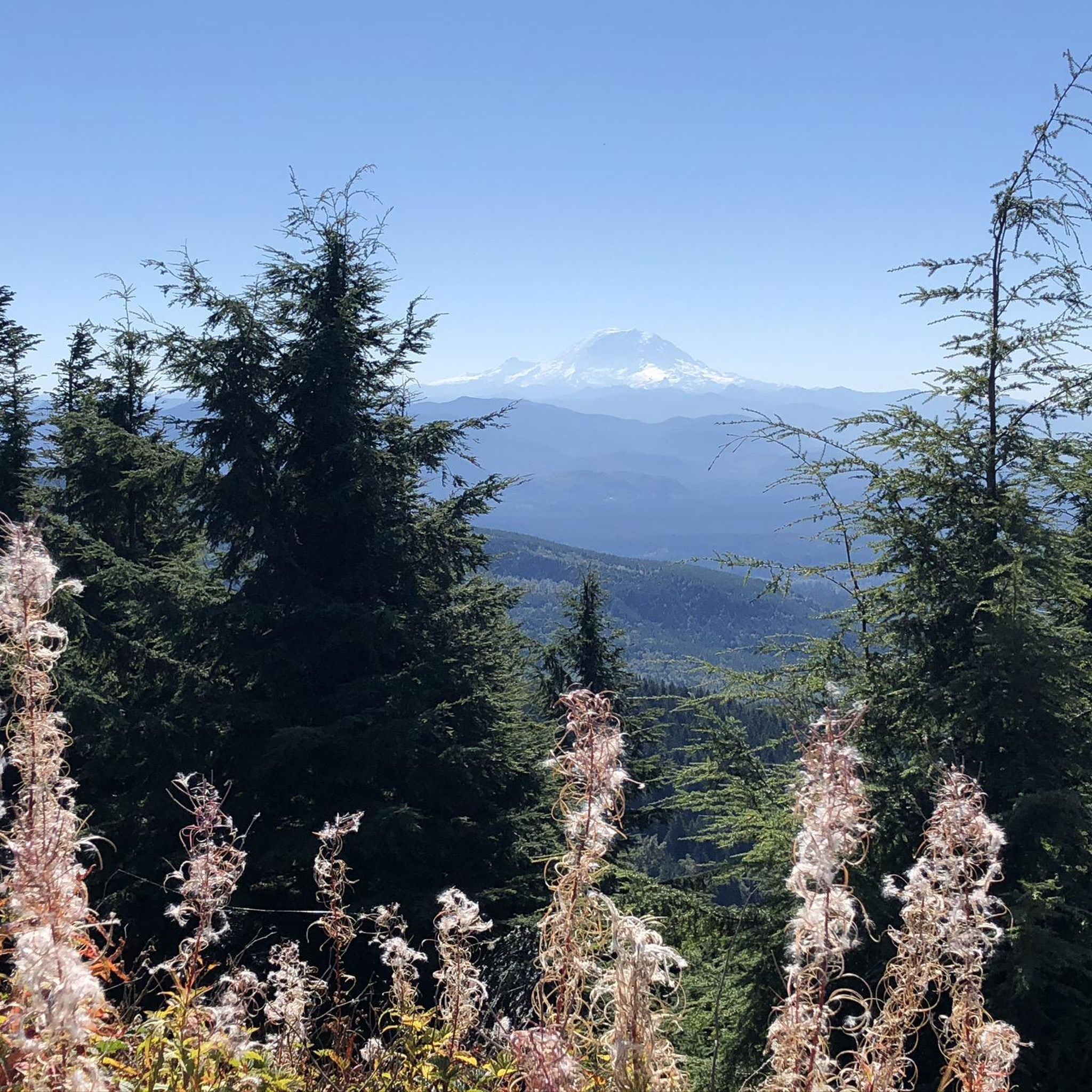
While road cycling, you can enjoy lush evergreen forests, picturesque creeks, and stunning mountain vistas, including potential views of Mount Rainier and the southern Puget Sound. Routes like the Mountains to Sound Trail and Mercer Island Loop offer beautiful views of Lake Washington. The area is part of the 'Issaquah Alps,' ensuring plenty of scenic beauty.
Are there any historical landmarks or points of interest along the road cycling routes?
While many historical points are accessed via hiking trails, the broader area around Tiger Mountain State Forest has historical significance related to its logging past. For instance, the Poo Poo Point Trail area, though primarily for hiking, is named for the steam whistles from the logging era. The Radio Shelter and Lookout on Tiger Mountain, a repurposed post-WWII structure, also offers a unique historical stop for those exploring the area.
Is public transport available to access road cycling routes in Tiger Mountain State Forest?
The Tiger Mountain State Forest area is accessible from Seattle, and some routes, like sections of the Mountains to Sound Greenway Trail, are part of a regional trail system designed for recreation and commuting. For specific public transport options to trailheads, it's advisable to check local transit schedules, especially for routes connecting to Issaquah or other nearby towns. More information on the Mountains to Sound Greenway Trail can be found on the Bellevue city government website.
Where can I find parking for road biking in Tiger Mountain State Forest?
Parking is generally available at various trailheads and access points around Tiger Mountain State Forest. For routes starting from towns like Issaquah or Hobart, you can often find public parking facilities. It's recommended to check specific route descriptions on komoot for details on parking availability at the start of your chosen ride.
What is the best time of year for road cycling in Tiger Mountain State Forest?
The best time for road cycling in Tiger Mountain State Forest is typically during the spring, summer, and fall months when the weather is milder and conditions are generally dry. While logging roads are open year-round, winter cycling may present challenges due to colder temperatures, potential rain, and varying road conditions. Always check local weather forecasts before heading out.
Are there any loop road cycling routes in the area?
Yes, Tiger Mountain State Forest and its surroundings offer several excellent loop road cycling routes. Popular options include the Cedar River Trail – Cedar River Overlook loop from Hobart (52.6 km) and the Issaquah Veterans Park – Summit Clubhouse loop from Issaquah (35.6 km). For a longer ride, consider the Mountains to Sound Trail and Mercer Island Loop (54.6 km).
What do other cyclists say about road cycling in Tiger Mountain State Forest?
The road cycling routes in Tiger Mountain State Forest are highly rated by the komoot community, with an average score of 4.6 stars from over 17 reviews. Cyclists often praise the diverse terrain, the beauty of the lush forests and mountain vistas, and the variety of routes available for different fitness levels. Over 1,100 road cyclists have used komoot to explore this area.
Most popular routes in Tiger Mountain State Forest
Most popular attractions in Tiger Mountain State Forest

Get inspired with the komoot mobile app


Explore more
Browse the best Road cycling routes in other regions.
