The best walks and hikes in Gile State Forest
5.0
(3)
61
hikers
25
hikes
Hikes in Gile State Forest explore a 6,675-acre expanse of northern hardwood and softwood trees in New Hampshire. The terrain is characterized by rolling hills, rocky ledges, and serene ponds like Butterfield Pond and Morgan Pond. The forest contains numerous brooks, including Great Brook, and is a key part of the larger Sunapee-Ragged-Kearsarge Greenway trail system.
Best hiking trails in Gile State Forest
- The most popular hiking route is Bog Mountain – Bog Mountain Wildlife Management Area, a 4.2…
Last updated: September 28, 2026
4
hikers
4.95km
01:19
50m
50m
Easy hike. Great for any fitness level. Easily-accessible paths. Suitable for all skill levels.
4
hikers
1.16km
00:17
0m
0m
Easy hike. Great for any fitness level. Easily-accessible paths. Suitable for all skill levels.

3.53km
01:06
200m
40m
Easy hike. Great for any fitness level. Easily-accessible paths. Suitable for all skill levels.
8
hikers
6.84km
02:02
210m
210m
Moderate hike. Good fitness required. Easily-accessible paths. Suitable for all skill levels.
5.0
(2)
6
hikers
2.75km
00:53
130m
130m
Easy hike. Great for any fitness level. Easily-accessible paths. Suitable for all skill levels.
Get access to more routes and recommendations from other explorers.
Already have an account?
Our route recommendations are based on thousands of hikes, rides, and runs completed by other people on komoot.
Start today with a free account
Your next adventure awaits.


Tips from the Community

Bog Mountain may not get as much traffic as some other nearby peaks, but it still offers great views of peaks including Kearsarge, Sunapee and Smarts. Heads up: You'll have to break your stride to scramble up some rocky shelves, and the trail sometimes gets muddy.
0
0

The road passes so close to the beach it would be rude not to stop. There are pontoons in the water if you fancy a dip, a picnic table so you can sit down and take time over lunch and even a couple of porta potties.
0
0

The path is well-marked and on the benches along the way you can rest for a while. Occasionally, the ground is full of foliage, so you need solid boots and have to watch your step. At the top, you can enjoy the beautiful view from Bog Mountain.
1
0
Frequently Asked Questions
Are dogs allowed in Gile State Forest?
Yes, dogs are generally welcome on the trails in Gile State Forest but must be kept on a leash and under your control at all times. Please be sure to clean up after your pet to help keep the forest beautiful for everyone.
What are the best family-friendly or easy hikes in the forest?
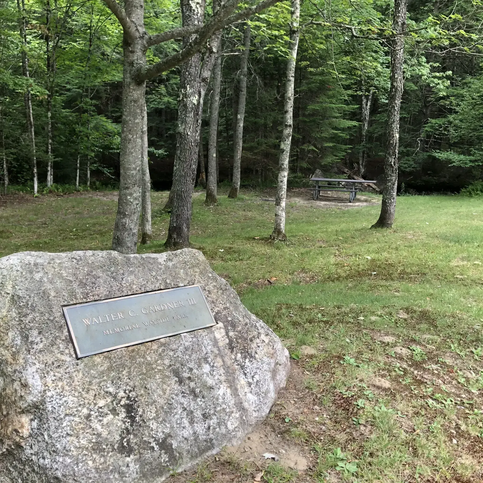
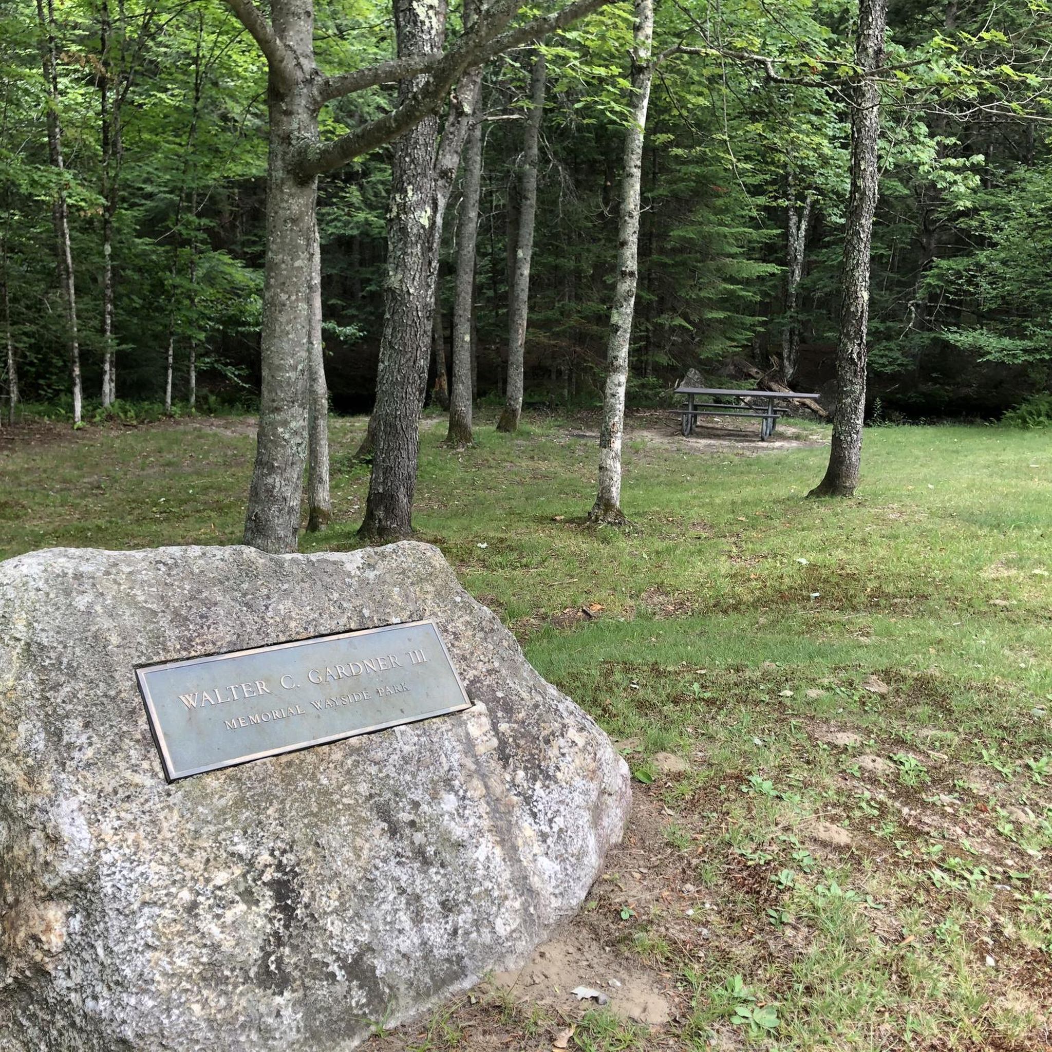
For an easy and accessible outing, the trails starting from Gardner Memorial Wayside Park are ideal for families. A short trail leads to an old mill site, and another path takes you to Butterfield Pond, where you can enjoy a gentle loop. These trails are perfect for a peaceful walk in the woods.
Are there any hikes with good views in Gile State Forest?
Absolutely. For some of the best views in the area, the Bog Mountain – Bog Mountain Wildlife Management Area trail is a great choice. This moderate hike leads to a rocky summit that opens up to excellent views of the surrounding landscape, including Mount Kearsarge and Mount Sunapee.
Can I find any waterfalls or scenic brooks on the trails?
Yes, the Great Brook Trail is known for its scenery. The path follows the course of Great Brook and is especially beautiful in the spring when water levels are high, creating impressive cascades down the steep ledges.
Are there any circular or loop trails available?
The area around Morgan Pond offers a pleasant loop that incorporates the Kidder Brook Trail, which is great for both hiking and cross-country skiing. For a longer outing, the Little Sunapee Lake loop offers a nearly 6-mile circuit in the wider region.
What are the parking options for Gile State Forest trails?
Parking is available at several trailheads. The Gardner Memorial Wayside Park has a designated parking area, which is a convenient starting point for the Butterfield Pond and Mill Site trails. Other trailheads, like those for the Bog Mountain and Great Brook trails, have smaller parking areas. It's always a good idea to arrive early, especially on weekends.
Can I hike in Gile State Forest during the winter?
Yes, the forest is a popular destination in winter. Many trails, such as those around Morgan Pond, are used for cross-country skiing and snowshoeing. Some multi-use trails are also open to snowmobiles. Always check conditions beforehand and come prepared with appropriate gear like microspikes or snowshoes.
Are there any particularly challenging hikes for experienced hikers?
For a true wilderness challenge, experienced hikers can attempt to reach Gile State Forest Peak. This requires off-trail bushwhacking and strong navigation skills, as there are no marked paths to the wooded summit. The terrain includes dense woods and marshy areas, offering a rugged adventure.
How many hiking trails are in Gile State Forest?
There are over a dozen designated hiking trails within Gile State Forest and the immediate surrounding area. These range from short, easy walks to more moderate climbs, with about half the routes rated as easy and the other half as moderate.
What do other hikers think of the trails in Gile State Forest?
The trails in this area are very highly rated by the komoot community. Hikers often praise the well-maintained forest paths, the scenic beauty of the brooks and ponds, and the variety of terrain that offers something for different skill levels.
Where can I find a trail map for Gile State Forest?
While physical maps may be available at some trailheads, the best way to navigate is by using a digital map on an app like komoot. This allows you to see your live location on the trail and access detailed route information. The forest is also part of the larger Sunapee-Ragged-Kearsarge Greenway, and maps for that system can provide additional context.
What kind of wildlife might I see in the forest?
Gile State Forest's diverse habitats of hardwood forests, ponds, and marshlands support a variety of wildlife. It's not uncommon to see signs of beaver activity near Devil's Half Acre Pond, and the more remote areas are known as 'moose woods'. You may also spot deer, birds, and other woodland creatures.
Most popular routes in Gile State Forest

Get inspired with the komoot mobile app


Explore more
Browse the best Hikes in other regions.
