The best walks and hikes in Camels Hump State Forest
4.5
(6)
91
hikers
15
hikes
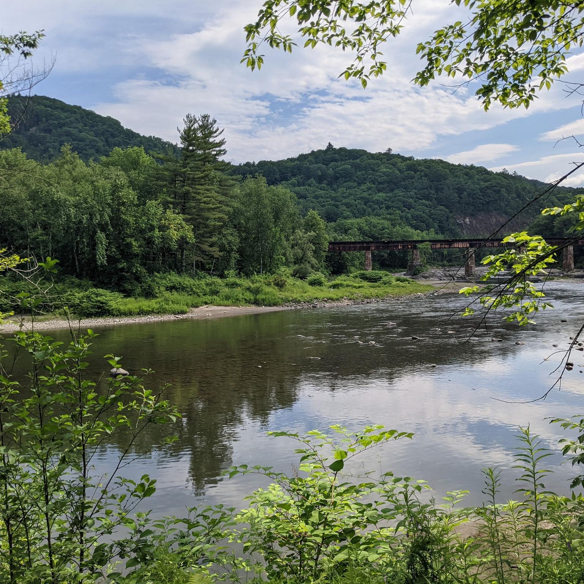
Hikes in Camels Hump State Forest explore a protected landscape within Vermont's Green Mountains. The region is characterized by its iconic, undeveloped peak, dense forests of birch and maple, and a rare alpine tundra ecosystem on its upper slopes. The trail network offers a range of options, from gradual ascents through woodland to more strenuous climbs toward the summit.
Best hiking trails in Camels Hump State Forest
- The most popular hiking route is Camels Hump State Forest loop from Camels Hump State Forest, a 5.2 mile (8.4 km) trail that takes around 3 hours 15 minutes to complete. This is a moderate route with significant elevation gain leading through the forest.
- Another top favourite among local hiking enthusiasts is Mount Ellen and General Stark Mountain via Jerusalem Trail — Green Mountain National Forest, a moderate 8.5 mile (13.6 km) path. The trail involves a steady ascent through the Green Mountain National Forest.
- Local hiking enthusiasts also love the Lincoln Peak – Nancy Hanks Peak loop from Lincoln, a 16.2 mile (26.1 km) trail leading through the Green Mountains, often completed in about 8 hours 20 minutes.
- Hiking in Camels Hump State Forest is defined by its forested mountain slopes, high-elevation alpine zones, and well-maintained trails. The network provides routes for hikers seeking both moderate walks and more difficult, long-distance days.
- The routes in Camels Hump State Forest are highly rated by the komoot community with an average score of 4.5 stars from a number of reviews. More than 60 hikers have used komoot to explore Camels Hump State Forest's varied terrain.
Last updated: July 7, 2026
5.0
(1)
13
hikers
13.6km
04:52
830m
830m
Moderate hike. Good fitness required. Easily-accessible paths. Suitable for all skill levels.
6
hikers
8.45km
03:12
600m
600m
Moderate hike. Good fitness required. Easily-accessible paths. Suitable for all skill levels.

Sign up for free
1
hikers
3.65km
01:14
0m
550m
Easy hike. Great for any fitness level. Easily-accessible paths. Suitable for all skill levels.
4
hikers
26.1km
08:19
990m
990m
Hard hike. Very good fitness required. Easily-accessible paths. Suitable for all skill levels.
12
hikers
16.5km
05:21
690m
680m
Hard hike. Very good fitness required. Easily-accessible paths. Suitable for all skill levels.
Get access to more routes and recommendations from other explorers.
Sign up for free
Already have an account?
Our route recommendations are based on thousands of hikes, rides, and runs completed by other people on komoot.
Start today with a free account
Your next adventure awaits.
Login or Signup
Popular around Camels Hump State Forest

Tips from the Community

Mount Abraham is a 4,006-foot summit that offers expansive views. From the top, you can spot Mount Ellen and Lake Champlain off in the distance. Being one of the Vermont 4,000-foot peaks, this mountain sees a fair bit of traffic.
1
0

Located in the Green Mountains of Vermont, Appalachian Gap is a popular spot for cyclists, motorcyclists, and hikers. The views across the gap of the Champlain Valley & Adirondack Mountains are excellent.
0
0

The Appalachian Gap marks the divide between two different drainage systems, although both eventually feed into Lake Champlain. In more practical terms, this gap is a wonderfully easy-access spot to enjoy views of Lake Champlain, the Champlain Valley, and the Adirondack Mountains.
1
0
Although it's a skiing destination in winter, Stark Mountain (or General Stark Mountain) is a great hiking destination in the summer. It's on the Vermont Long Trail and is part of the famed Monroe Skyline, a ridgewalk that offers stunning views in all directions.
1
0
4,049-foot (1,234 m) high Mount Ellen is one of just a few Vermont peaks that reach over the 4,000-foot mark. It's part of the spectacular Monroe Skyline, which also includes Mount Abraham to the south. The two peaks are connected by the Long Trail.
1
0
You can get some great views out over the surrounding mountains from this 3,812-foot (1,162 m) peak. There's a small hut that marks the top of the ski lift from Sugarbush Ski Resort down below. During the summer you can hike up from Sugarbush, or approach from the north or south via the Long Trail. If you hike up from Sugarbush, you'll be sharing the trail with bicycles and 4x4 vehicles.
1
0
At 3,975 feet (1,212 m), Lincoln Peak is arguably the centerpiece of Sugarbush Ski Resort, with great views over the surrounding mountains. There are two different ways to reach the peak during the summer: Hiking up from the base of Sugarbush, which is free to do in the summer (but watch for bike and 4x4 traffic on the same trail); or via the Long Trail.
1
0

From this summit, you have views of both Mount Ellen, located further north but also on Lake Champlain.
0
1
Frequently Asked Questions
Are dogs allowed on the trails in Camel's Hump State Forest?
Yes, dogs are generally permitted on the trails in Camel's Hump State Forest, but they must be kept on a leash at all times. It's especially important to keep them leashed and under control in the fragile alpine tundra zone near the summit to protect the rare plant life.
What are the parking options for the main trailheads?
Parking can be limited, especially on weekends and holidays. The main trailheads, such as for the Burrows Trail and Monroe Trail, often fill up early. It's recommended to arrive early in the morning to secure a spot. Carpooling is also a great option. If lots are full, consider exploring trails in less crowded sections of the park.
Are there any easy or family-friendly hikes in the area?
While most trails involve significant elevation gain, the Camel's Hump View Trail is an excellent option for families and visitors of all abilities. It's a short, universally accessible path that offers fantastic views of the mountain's iconic peak without the strenuous climb.
What should I pack for a day hike on Camel's Hump?
For a day hike, you should bring plenty of water, high-energy snacks, and a map. Weather can change rapidly, so layered clothing, a waterproof jacket, and a hat are essential. The summit is often much colder and windier than the trailhead. Sturdy hiking boots are a must due to the rocky and often wet terrain.
How difficult are the hikes to the summit of Camel's Hump?
The hikes to the summit are considered challenging. Routes like the Burrows Trail and Monroe Trail are steep and rocky, requiring good physical fitness. The final ascent to the peak is above the treeline and fully exposed to the elements. There are no 'easy' routes to the summit, but the panoramic views are a worthy reward for the effort.
Can I go hiking in Camel's Hump State Forest during the winter?
Yes, winter hiking is a popular activity, but it requires specific preparation and gear. Trails can be covered in deep snow and ice, so snowshoes and microspikes are essential for safety and traction. You should also have experience with cold-weather hiking and be prepared for severe conditions, especially on the exposed summit.
What do other hikers enjoy most about Camel's Hump State Forest?
The area is highly rated by the komoot community, with an average score of 4.5 stars. Hikers frequently praise the stunning 360-degree views from the undeveloped summit and the immersive experience of walking through the dense hardwood forests. The challenge of the climb followed by the rewarding vistas is a common highlight.
Are there any circular or loop hikes available?
Yes, there are several loop options. A popular choice is the Camels Hump State Forest loop, which offers a comprehensive tour of the area's terrain over about 5.2 miles (8.4 km). Combining different trails, like the Burrows and Forest City Trails, is another way to create a varied loop hike.
How long does it typically take to hike to the summit?
The time to reach the summit varies by trail and individual pace, but you should plan for a half-day adventure. For example, the popular Burrows Trail is a 4.7-mile round trip that can take 3-5 hours. Longer routes will take more time. Always check the distance and estimated duration for your chosen trail and allow for extra time to enjoy the views.
Are there any historical points of interest within the park?
Yes, along the Alpine Trail near the summit, hikers can find the wreckage of a B-24 bomber that crashed on the mountain in 1944. This site serves as a poignant memorial and adds a historical element to the hike. Please be respectful and do not disturb the wreckage.
What kind of views can I expect from the summit?
The summit of Camel's Hump is bare and offers unobstructed 360-degree panoramic views. On a clear day, you can see other major peaks in Vermont's Green Mountains like Mount Mansfield, as well as the Adirondack Mountains in New York and the White Mountains in New Hampshire.
Are there any long-distance hiking options in the park?
For those seeking a more demanding, full-day trek, the Lincoln Peak – Nancy Hanks Peak loop is a challenging 16.2-mile (26.1 km) route. It's a difficult hike that rewards experienced hikers with an extensive exploration of the Green Mountains.
Most popular routes in Camels Hump State Forest

Get inspired with the komoot mobile app


Explore more
Browse the best Hikes in other regions.
