The best walks and hikes around Givisiez
4.6
(998)
6,302
hikers
383
hikes
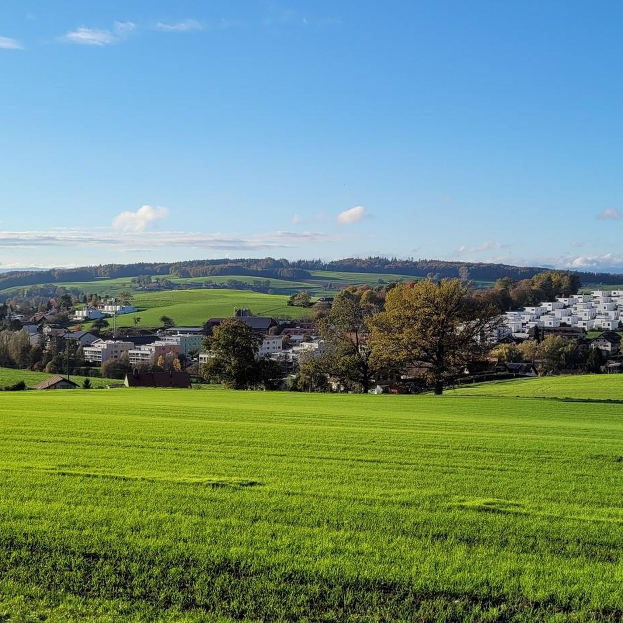
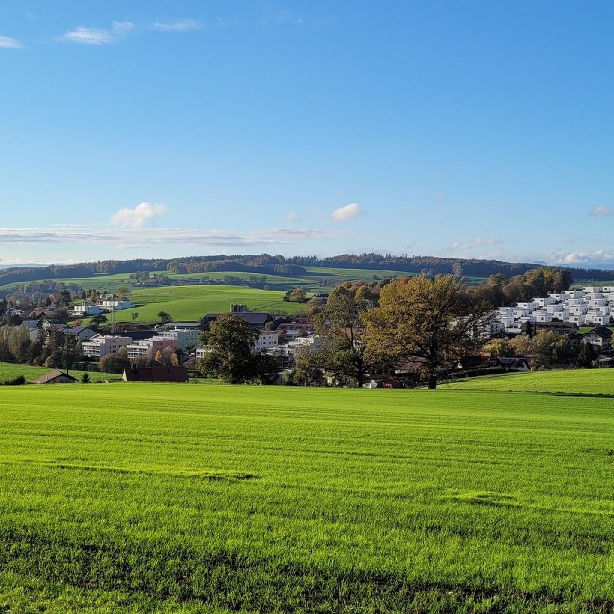
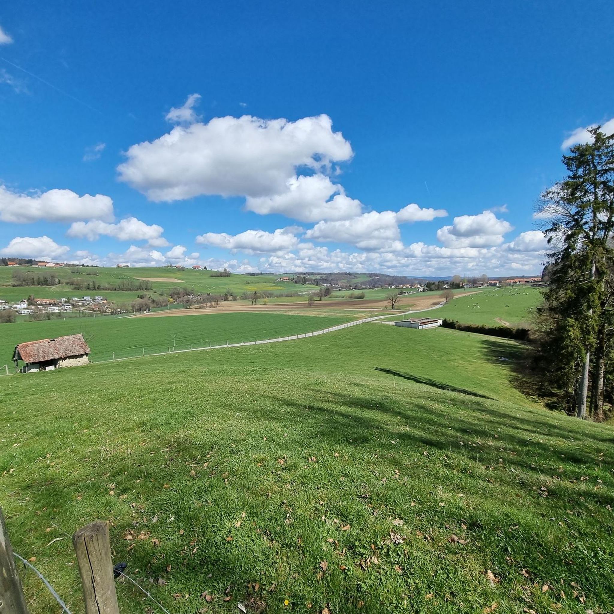
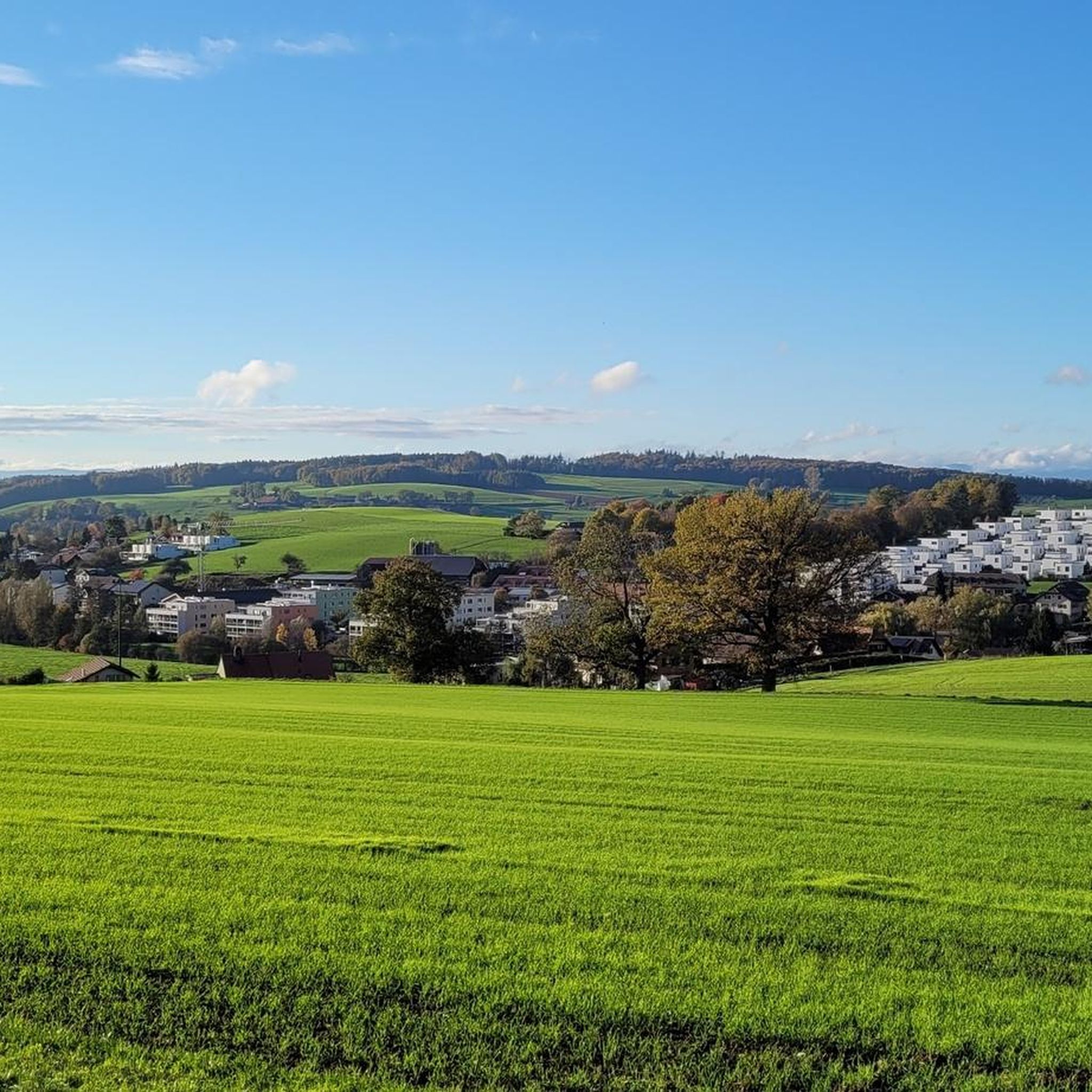
Hiking around Givisiez offers access to varied landscapes within the Canton of Fribourg, Switzerland. The region is characterized by the Sarine River and its scenic Galtern Gorge, featuring numerous bridges and walkways. Terrain includes riverbanks, forested areas, and open pastures, with elevations ranging from approximately 605 to 697 meters.
Best hiking trails around Givisiez
- The most popular hiking route is Piamont – Picnic and Barbecue Area loop from Corminboeuf, a 7.4 miles (11.9 km) trail that takes about 3…
Last updated: July 10, 2026
4.1
(7)
24
hikers
12.0km
03:28
290m
290m
Moderate hike. Good fitness required. Easily-accessible paths. Suitable for all skill levels.
2.0
(1)
28
hikers
10.7km
02:56
170m
170m
Moderate hike. Good fitness required. Easily-accessible paths. Suitable for all skill levels.

Sign up for free
4.8
(4)
15
hikers
5.97km
01:36
80m
70m
Easy hike. Great for any fitness level. Easily-accessible paths. Suitable for all skill levels.
5.0
(1)
11
hikers
9.38km
02:41
200m
200m
Moderate hike. Good fitness required. Easily-accessible paths. Suitable for all skill levels.
5.0
(1)
12
hikers
6.37km
01:45
100m
100m
Easy hike. Great for any fitness level. Easily-accessible paths. Suitable for all skill levels.
Get access to more routes and recommendations from other explorers.
Sign up for free
Already have an account?
Our route recommendations are based on thousands of hikes, rides, and runs completed by other people on komoot.
Start today with a free account
Your next adventure awaits.
Login or Signup

Tips from the Community

Access currently blocked due to construction work on the cycle path to Viadukt Grandfey.
1
0

Paulus Nader, architect and stonemason, drew up the plans and undertook the construction of the church around 1770 in collaboration with Jakob Jungo from Guin. The church is dedicated to St. Laurentius. Joseph Sutter painted the high altar evoking the martyrdom of the saint. He also created the choir fresco, which was considerably retouched and signed by Peter Neumann in 1894. The centrepieces of the interior decoration are the Pietà by Hans Geiler and the painting depicting St. Nikolas von Flüe. The latter is one of the oldest known to date (1550). The church, enlarged and restored in 1936 by architect Albert Cuony, features the Assumption, a nave stained glass window created in 1952 by Bernard Schorderet. The other stained glass windows by the same artist are later.
0
0

Magnificent and large playground
0
0

Finally – the ramp for slow-moving traffic is currently under construction. From the end of 2026, the steep ramp next to the stairs and the artwork by Richard Serra will finally be accessible.
0
0


Stupid climb to the bridge...but great view!
0
1

There is a great, bilingual book about the creation of the Schiffenen reservoir, over which the viaduct runs, with many pictures of the time before the Saane was dammed. It also has portraits of contemporary witnesses who had roots in the Saane valley. The book was published in 2012 by the O.S.K.A.R. association. Orders can be placed on the website: www.verein-oskar.ch
2
1

Beautiful path on foot or by bike
1
0
Frequently Asked Questions
How many hiking trails are available around Givisiez?
There are nearly 400 hiking routes around Givisiez, offering a wide variety of options for all skill levels. This includes over 190 easy routes, 190 moderate routes, and a few more challenging trails.
What kind of terrain can I expect on hikes in Givisiez?
Hiking around Givisiez features diverse terrain, including scenic riverbanks along the Sarine, dense forested sections, and open pastures. The region's elevation ranges from approximately 605 to 697 meters, offering varied landscapes without extreme altitude changes.
Are there any family-friendly hiking options in Givisiez?
Yes, Givisiez offers several family-friendly routes. An excellent option is the Château d'Affry loop from Givisiez, an easy 5.9 km trail that takes about 1 hour 35 minutes to complete, suitable for a pleasant outing with children.
Can I bring my dog on hiking trails in Givisiez?
Many trails in the Givisiez area are dog-friendly. The nearby Galtern Gorge, for instance, is known for its 'paw-friendly' structures along its walkways, making it a great place to explore with your canine companion. Always ensure your dog is under control and check local regulations for specific routes.
Are there any circular walks available in Givisiez?
Yes, many routes around Givisiez are designed as circular walks. For example, the Piamont – Picnic and Barbecue Area loop from Corminboeuf is a moderate 11.9 km trail, perfect for a longer circular outing. Another option is the Grandfey Viaduct – View of the Poya Bridge loop from Granges-Paccot, a moderate 10.7 km loop offering scenic views.
What interesting landmarks or natural features can I see while hiking?
The region boasts several notable landmarks and natural features. You can encounter the impressive Grandfey Viaduct, an historic railway bridge, or explore the scenic Gottéron Valley. Nature lovers might also appreciate the Sandstone Cliffs on the Sarine River or the Düdinger Moos Nature Reserve.
What do other hikers say about the trails in Givisiez?
The hiking trails in Givisiez are highly regarded by the komoot community, with an average rating of 4.6 stars from over 890 reviews. Hikers often praise the varied terrain, the beautiful river views, and the well-maintained paths that cater to different fitness levels.
Are there any easy hikes suitable for beginners?
Absolutely. Givisiez offers nearly 200 easy routes. A good starting point is the Château d'Affry loop from Givisiez, which is 5.9 km long and takes approximately 1 hour 35 minutes, making it ideal for a relaxed walk.
What are the best times of year to hike in Givisiez?
The varied terrain around Givisiez, from riverbanks to forests, makes it enjoyable for hiking across multiple seasons. Spring and autumn offer pleasant temperatures and vibrant scenery, while summer is great for longer days. Winter hiking is also possible, especially in the lower elevations, though conditions may vary.
Are there any historical sites or cultural points of interest nearby?
Yes, the region has historical significance. You can visit the Avenches Roman Amphitheatre or the East Gate of Aventicum for a glimpse into ancient history. Additionally, the Magdalena Hermitage, Räsch and Saint Urban Chapel and Linden of Lage offer cultural and religious points of interest.
What is the typical elevation gain on hikes around Givisiez?
Hikes around Givisiez generally feature moderate elevation changes. For example, a moderate route like the Piamont – Picnic and Barbecue Area loop from Corminboeuf has an elevation gain of around 290 meters. Even easier routes, such as the Château d'Affry loop from Givisiez, involve about 75 meters of ascent.
Most popular attractions around Givisiez

Get inspired with the komoot mobile app


Explore more
Browse the best Hikes in other regions.
