The best road cycling routes around Gitschtal
4.4
(202)
7,277
riders
87
rides
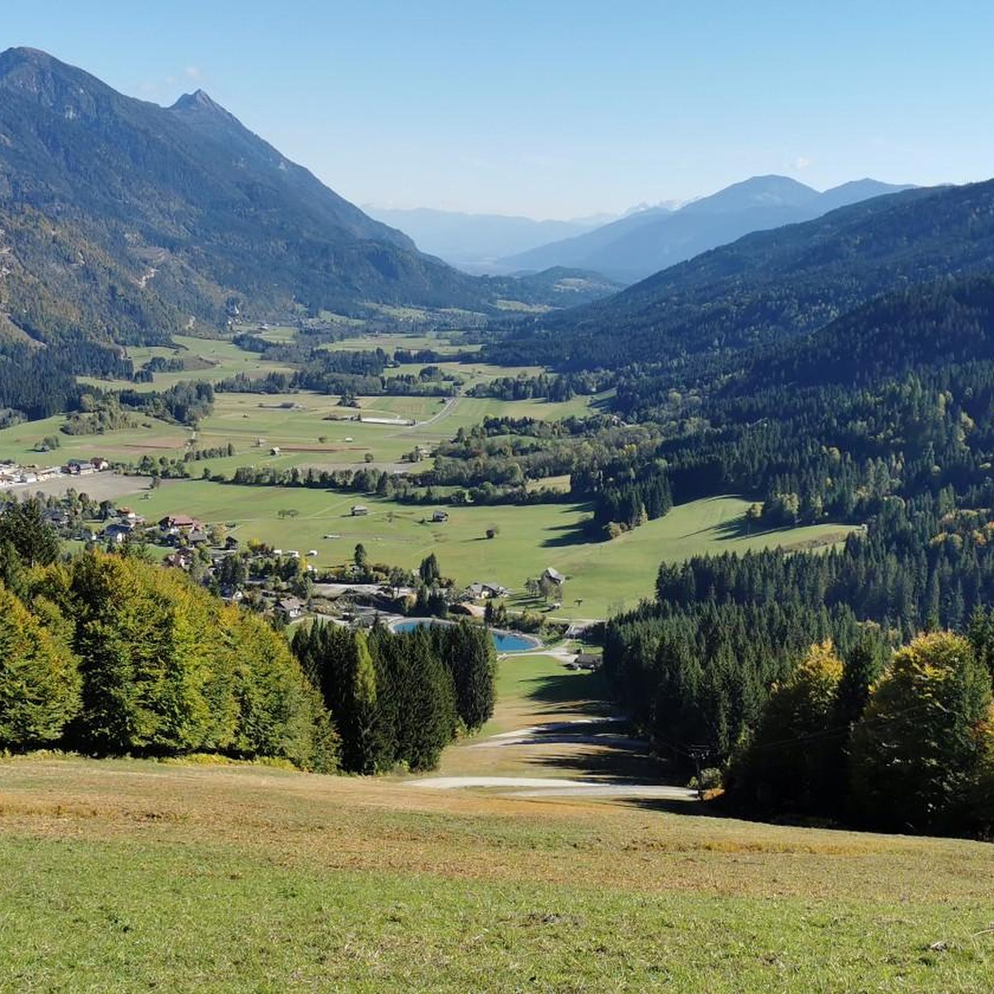
Road cycling around Gitschtal, located in Carinthia, Austria, offers diverse landscapes for cyclists. The region is characterized by a valley situated between Lake Weissensee and Lake Pressegger See, with the presence of the 2,300-meter Reißkofel mountain. Cyclists encounter varied terrain across the Carnic, Gailtal, and Julian Alps, providing a range of elevation profiles. Well-maintained cycling routes are integrated into a larger network, catering to different skill levels.
Best road cycling routes around Gitschtal
- The most popular road cycling route is…
Last updated: October 12, 2026
3.8
(5)
363
riders
67.3km
03:16
910m
910m
Hard road ride. Very good fitness required. Mostly well-paved surfaces and easy to ride.
4.7
(17)
198
riders
Moderate road ride. Good fitness required. Mostly well-paved surfaces and easy to ride.

4.3
(3)
213
riders
38.3km
01:58
670m
670m
Moderate road ride. Good fitness required. Mostly well-paved surfaces and easy to ride.
4.7
(7)
176
riders
44.6km
02:05
420m
420m
Moderate road ride. Good fitness required. Mostly well-paved surfaces and easy to ride.
4.7
(3)
97
riders
137km
07:22
2,560m
2,560m
Hard road ride. Very good fitness required. Some segments of this route may be unpaved and difficult to ride.
Get access to more routes and recommendations from other explorers.
Already have an account?
Our route recommendations are based on thousands of hikes, rides, and runs completed by other people on komoot.
Start today with a free account
Your next adventure awaits.
Popular around Gitschtal
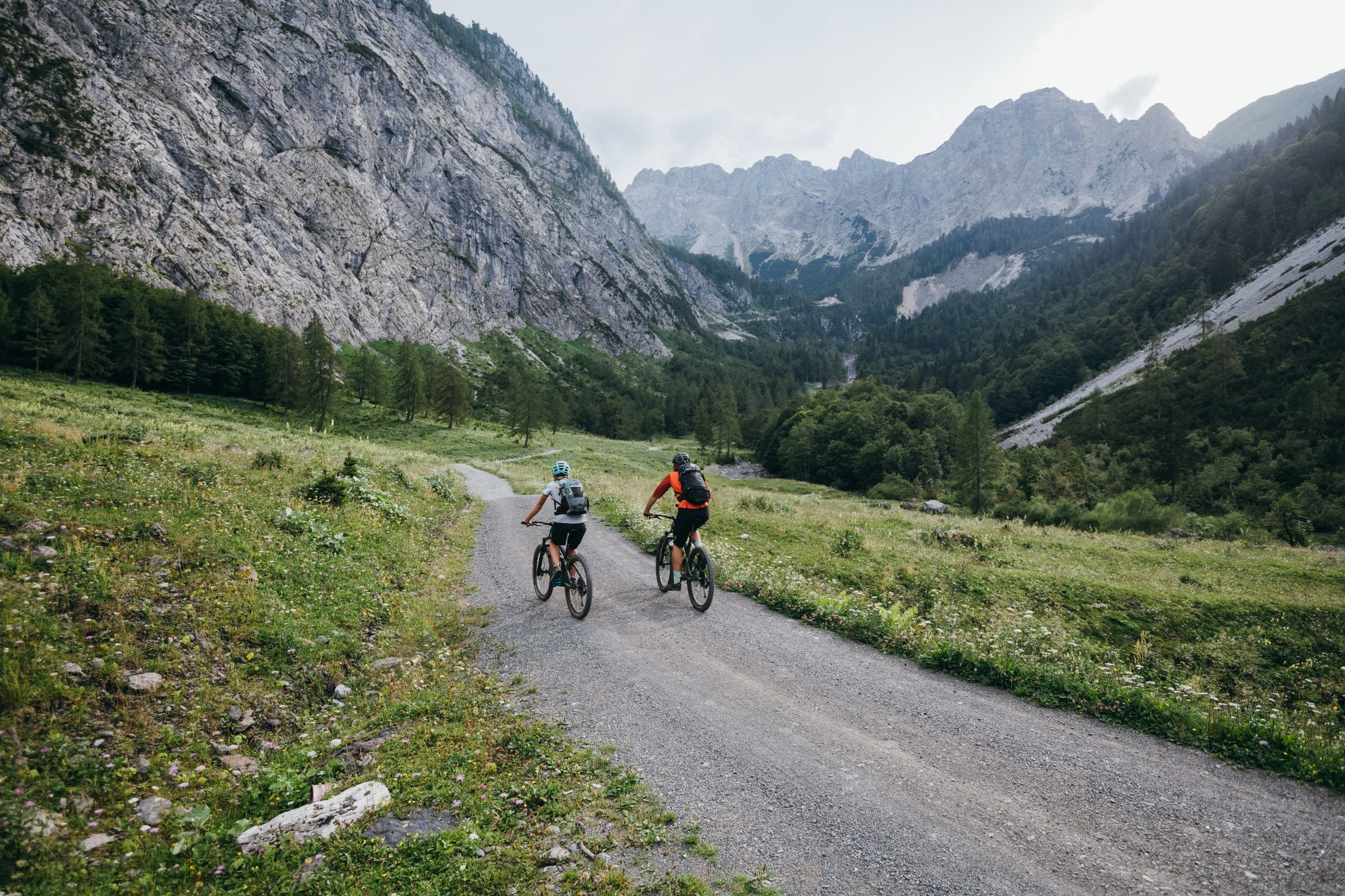
Limitless MTB fun between mountains, lakes and trails
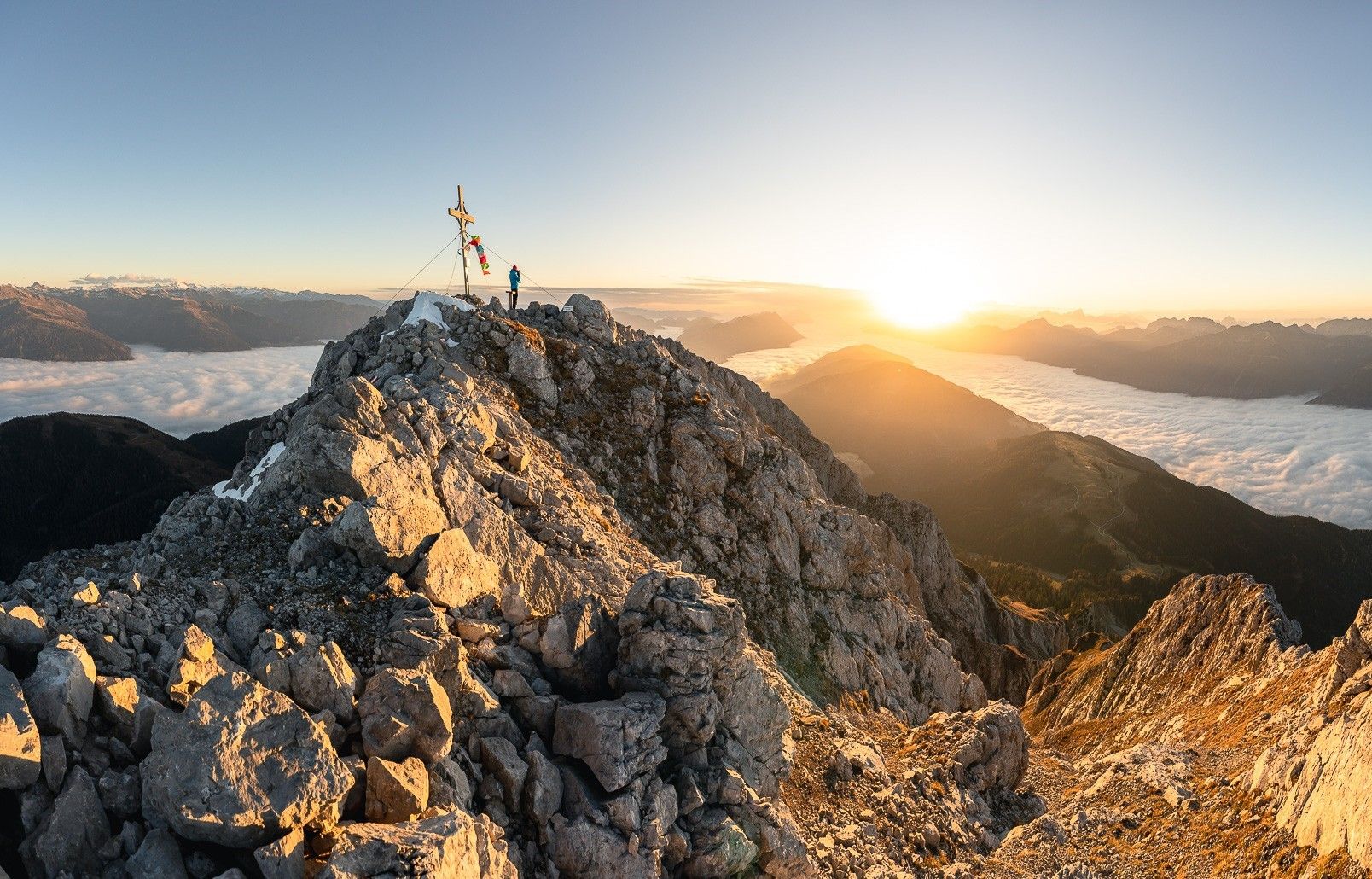
High up on the Gailtaler Höhenweg
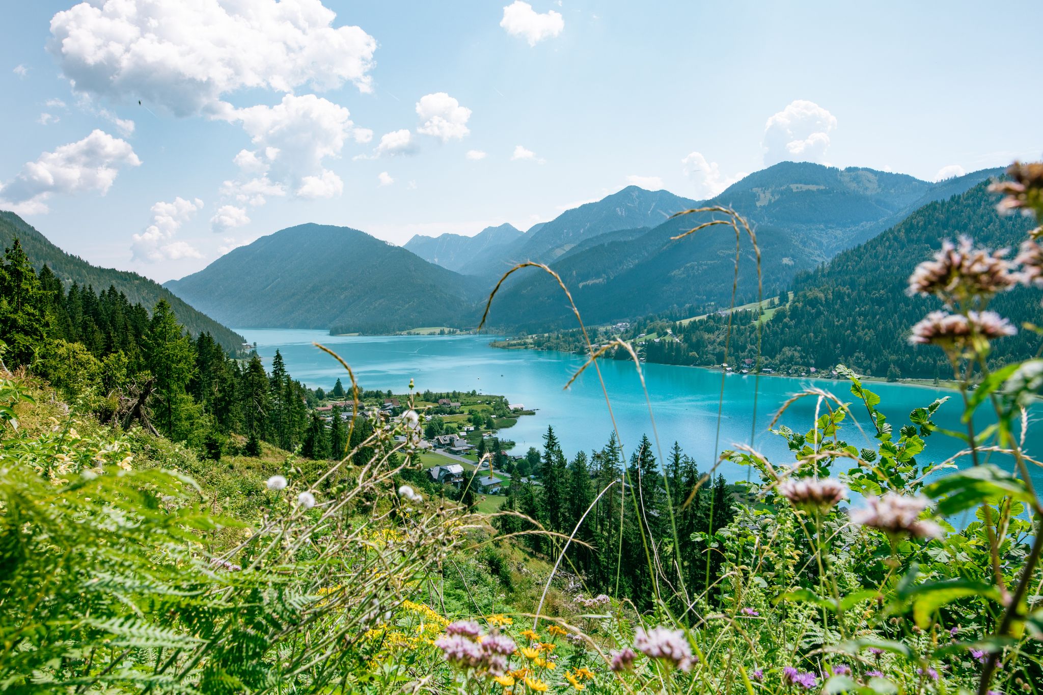
Enjoyment and high-altitude – hiking around Lake Weissensee
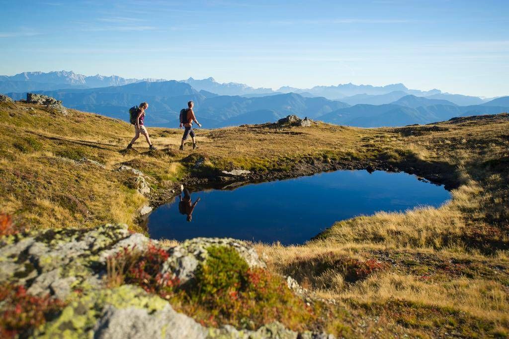
Delightful hiking along the Carinthian Lakes
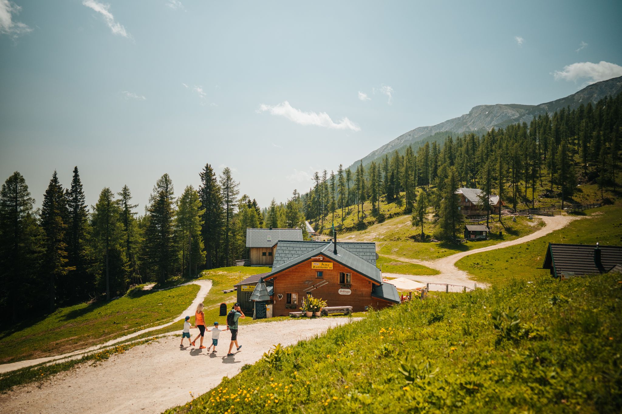
Auszeit auf der Alm – Wandern zu Kärntens schönsten Hütten
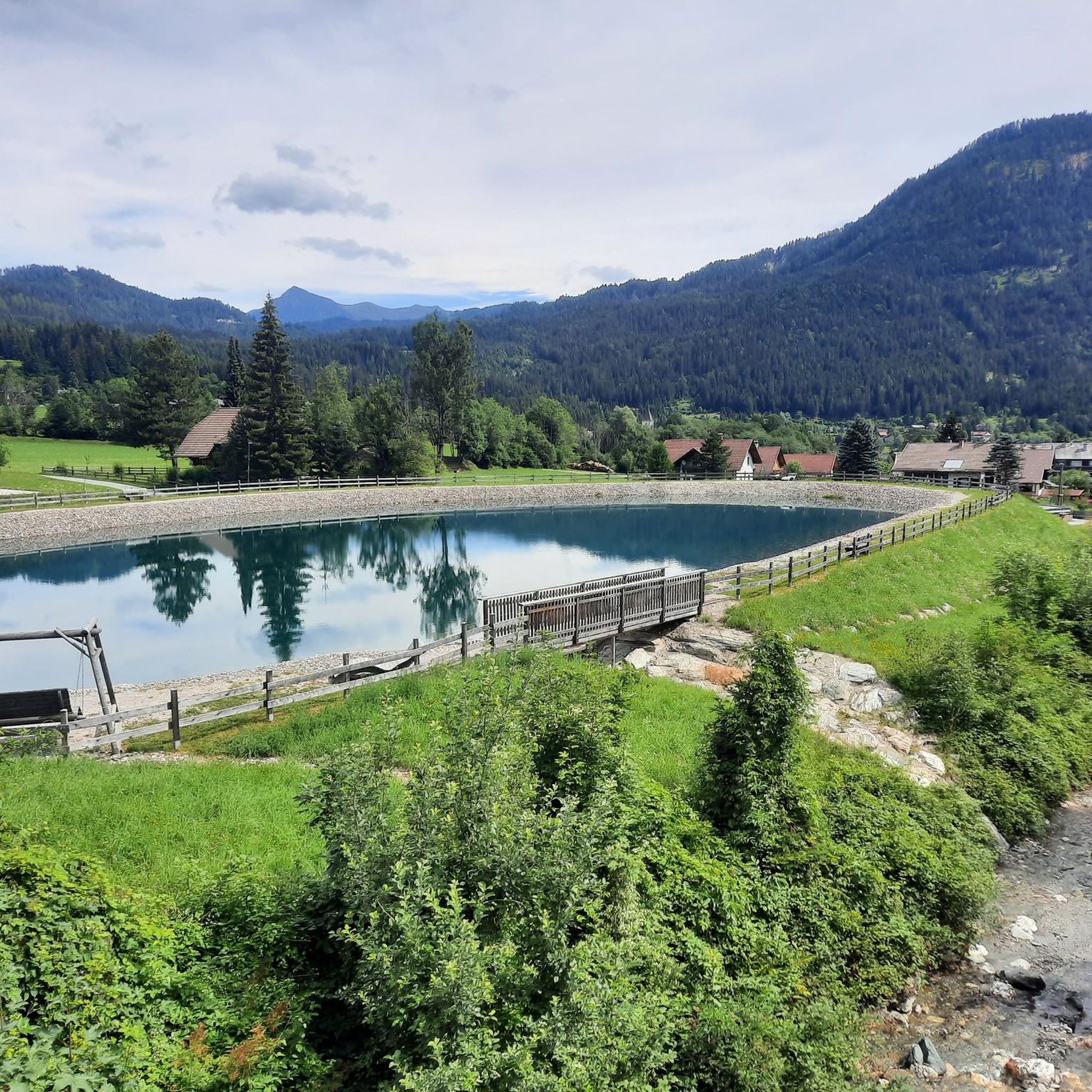
Hiking around Gitschtal
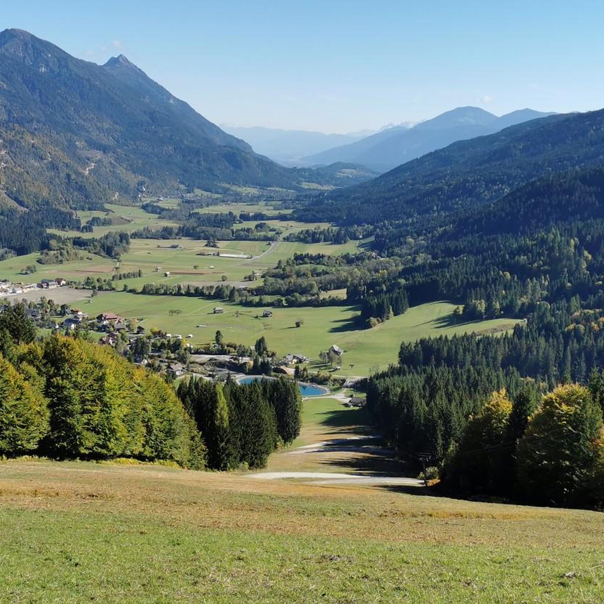
MTB Trails around Gitschtal
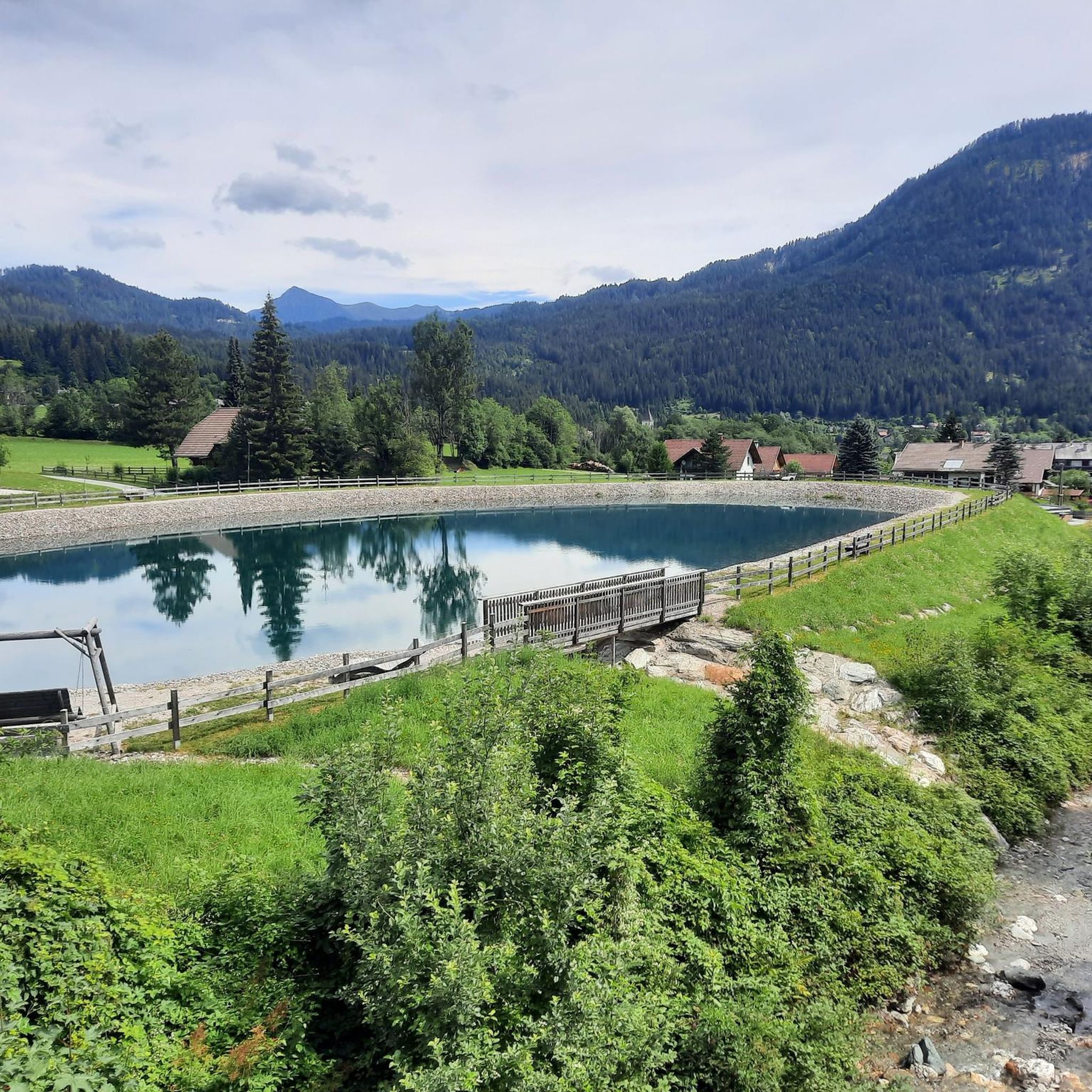
Cycling around Gitschtal

Gravel biking around Gitschtal
Running Trails around Gitschtal
Other adventures around Gitschtal


Tips from the Community

The hilly road to Nassfeld pass is 13 km long with average 8 % climb, some parts with 13 %. Also decent to Austria is very dangerous with sharp curves and some parts asphalt not in a good conditon.
0
0

Top of a beautiful and satisfying pass to climb
1
0

A wonderfully relaxing round in beautiful nature around the lake. And afterwards you can cool off in the lake.
0
0

Pass closed halfway up..in case write that it is passable again.thanks👍
0
0

Great section of the Alpe-Adria-Trail; experience it yourself!☺️👌
1
0

You cycle along this railway bridge, all made of iron... exciting!
0
0

…a promising and relaxed route!
1
0

Frequently Asked Questions
What kind of terrain can I expect on road cycling routes in Gitschtal?
Gitschtal offers a diverse range of terrain for road cyclists. You'll find routes winding through scenic valleys, alongside the beautiful Lake Weissensee and Lake Pressegger See, and with views of the impressive 2,300-meter Reißkofel mountain. The surrounding Carnic, Gailtal, and Julian Alps provide varied elevation profiles, from gentle climbs to significant ascents. The region is well-known for its stunning natural landscapes, including natural monuments and canyons.
Are there family-friendly road cycling routes in Gitschtal?
Yes, Gitschtal is well-suited for family cycling. The R3b Gitschtal cycling route is particularly noted as an easy and picturesque option, ideal for families and leisurely riders. It also connects to an extensive 800 km cycling network in the region, offering many flat and accessible sections. Overall, there are 14 easy road cycling routes available around Gitschtal.
What are some challenging road cycling routes in the Gitschtal area?
For those seeking a challenge, Gitschtal offers routes with significant elevation gains. A notable difficult route is the Dolomitenblick Ferry Dock – Kreuzberg Pass loop from Kreuzbergsattel, which covers 54.3 miles (87.4 km) and features extensive climbing and panoramic views. Another moderate option with significant elevation gain towards the Kreuzberg Pass is the Kreuzberg Pass loop from Hermagor Grünburg.
What can I see along the road cycling routes in Gitschtal?
Beyond the stunning natural landscapes, you can explore various points of interest. The region is home to beautiful lakes like Lake Weissensee and Lake Pressegger See. For those interested in natural wonders, the Garnitzen Gorge, Gösseringgraben Trail, and Weißenbach Gorge offer dramatic scenery. You might also encounter charming villages and mountain huts perfect for a break.
Are there any loop road cycling routes around Gitschtal?
Yes, many road cycling routes in Gitschtal are designed as loops, allowing you to start and end in the same location. For example, the Hermagor - Gail Cycle Path – Tröpolach - Möderndorf Cycle Path loop from Jadersdorf is a popular 18.0-mile (29.0 km) route through the Gail Valley. Another option is the 15% Steep Descent Warning loop from Evangelische Kirche Techendorf.
What do other road cyclists enjoy most about road cycling in Gitschtal?
The road cycling routes around Gitschtal are highly rated by the komoot community, with an average score of 4.25 stars from over 145 reviews. Cyclists often praise the diverse landscapes, ranging from scenic valleys to challenging mountain passes, and the well-maintained network of routes. The presence of two prominent lakes and the surrounding Alps also contributes to a memorable cycling experience.
What is the best time of year for road biking in Gitschtal?
The warmer months, typically from late spring through early autumn, are ideal for road cycling in Gitschtal. During this period, the weather is generally pleasant, and the mountain passes are clear of snow, offering the best conditions to explore the diverse terrain and enjoy the stunning natural beauty of the region.
Are there options for combining road cycling with other outdoor activities in Gitschtal?
Absolutely. Gitschtal is a hub for outdoor activities. After a road cycling tour, you can enjoy refreshing dips in Lake Weissensee or Lake Pressegger See. The region also offers opportunities for mountain biking, hiking on trails like the Gösseringgraben nature trail, and various water sports on the nearby lakes, ensuring a well-rounded outdoor experience.
How many road cycling routes are available around Gitschtal?
There are over 90 road cycling routes available around Gitschtal, catering to various skill levels. This includes 14 easy routes, 47 moderate routes, and 29 difficult routes, ensuring there's something for every cyclist.
Can I find cafes or places to stop for refreshments along the road cycling routes?
Yes, the Gitschtal region is dotted with numerous mountain huts and local establishments that provide inviting spots for breaks and refreshments during your rides. Many villages along the routes will also have cafes or restaurants where you can refuel.
Are there any routes that offer particularly good viewpoints?
Many routes in Gitschtal offer splendid views, especially those that ascend into the surrounding Alps. The Dolomitenblick Ferry Dock – Kreuzberg Pass loop from Kreuzbergsattel, for instance, is known for its panoramic views across the landscape. Routes around the lakes and with ascents towards the Reißkofel mountain also provide breathtaking vistas.
Most popular routes around Gitschtal
Most popular attractions around Gitschtal

Get inspired with the komoot mobile app


Explore more
Browse the best Road cycling routes in other regions.
