The best running trails in Kettle Moraine State Forest
5.0
(2)
66
runners
13
runs
Jogging in Kettle Moraine State Forest offers routes through a landscape shaped by glacial activity, featuring unique kettle and kame topography. The region is characterized by rolling hills, diverse ecosystems including deciduous forests and wetlands, and numerous lakes and rivers. This varied terrain provides a range of experiences for runners, from gentle paths to more challenging inclines.
Best jogging routes in Kettle Moraine State Forest
- The most popular jogging route is Purple trail loop from Town of Greenbush, a…
Last updated: May 17, 2026
5.0
(1)
19
runners
12.6km
01:33
90m
90m
Moderate run. Good fitness required. Mostly paved surfaces. Suitable for all skill levels.
5.0
(1)
7
runners
5.70km
00:42
70m
70m
Moderate run. Good fitness required. Mostly paved surfaces. Suitable for all skill levels.

Sign up for free
4
runners
8.33km
01:01
70m
70m
Moderate run. Good fitness required. Mostly paved surfaces. Suitable for all skill levels.
5
runners
3.65km
00:27
10m
10m
Easy run. Great for any fitness level. Mostly paved surfaces. Suitable for all skill levels.
4
runners
8.67km
01:03
70m
70m
Moderate run. Good fitness required. Mostly paved surfaces. Suitable for all skill levels.
Get access to more routes and recommendations from other explorers.
Sign up for free
Already have an account?
Our route recommendations are based on thousands of hikes, rides, and runs completed by other people on komoot.
Start today with a free account
Your next adventure awaits.
Login or Signup
Popular around Kettle Moraine State Forest
Tips from the Community

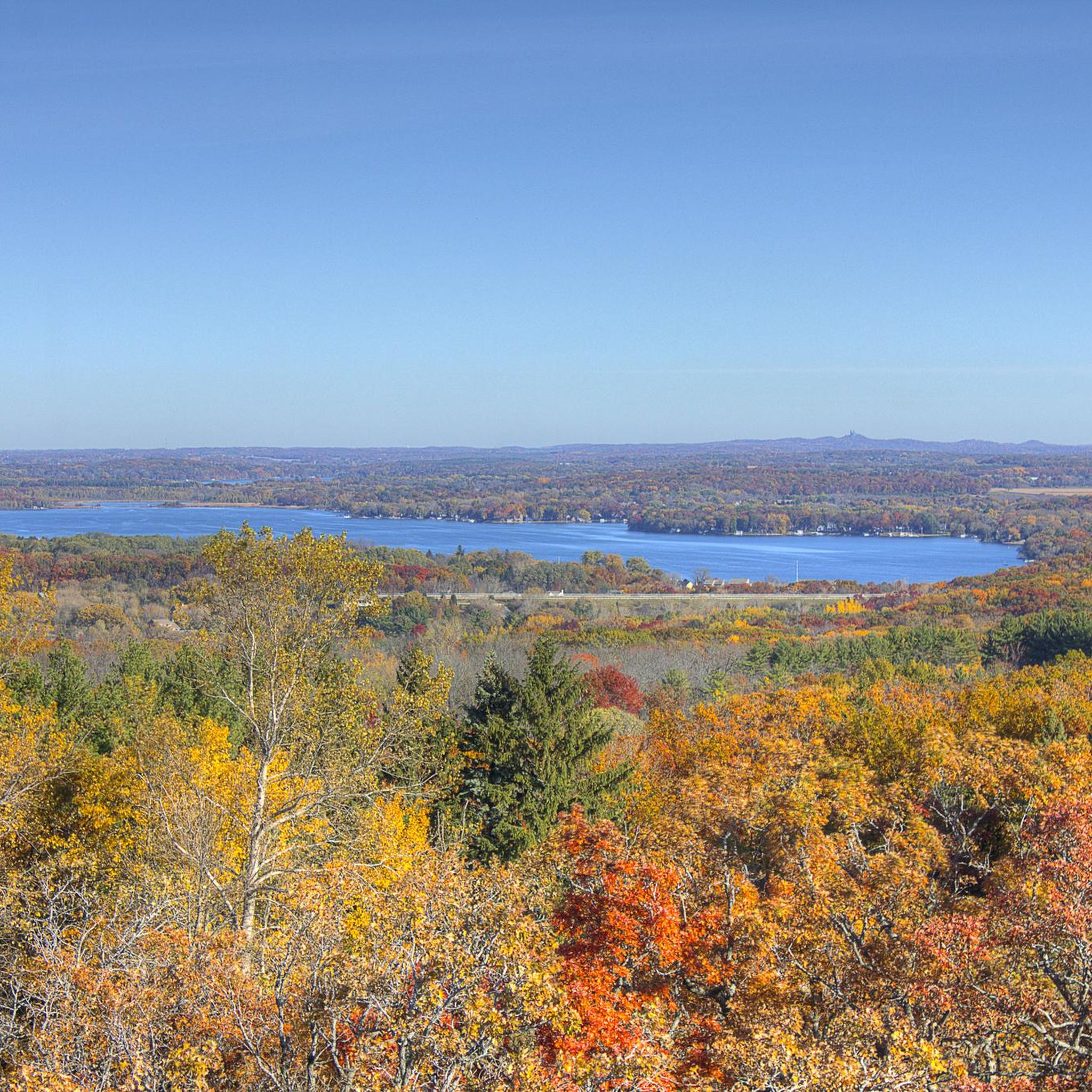
The Parnell Observation Tower is a 60-foot tower and is the best vantage point within Kettle Moraine State Forest. The tower is in the northern section of the forest and offers 360-degree views of the surrounding landscape.
0
0

Tamarack Circle Trail goes around Lake Mauthe, within the northern part of the Kettle moraine state forest.
0
0

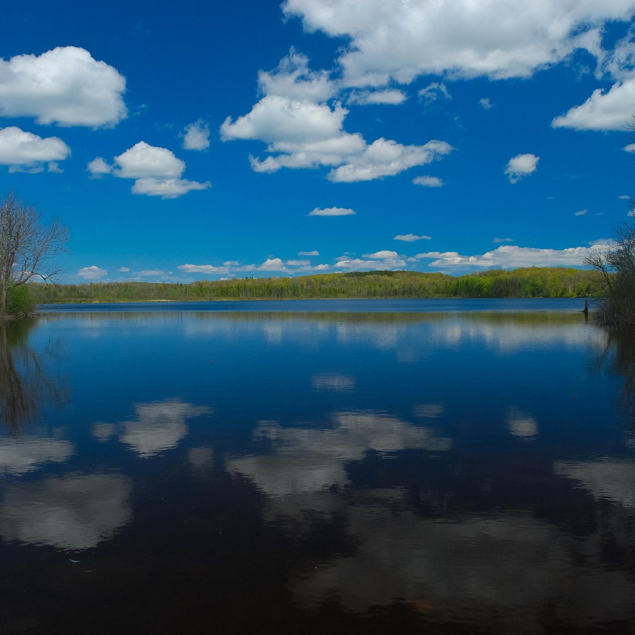
A beautiful lake! You can take a walk and circumnavigate it: a unique experience for children and adults.
1
0

Frequently Asked Questions
What kind of terrain can I expect when running in Kettle Moraine State Forest?
Kettle Moraine State Forest is known for its unique glacial topography, featuring rolling hills, depressions (kettles), and ridges (kames and eskers). This means you'll encounter a mix of challenging inclines and descents, along with flatter sections. The trails often wind through diverse ecosystems, including deciduous forests, pine plantations, wetlands, and restored prairies, offering varied surfaces and scenic views.
Are there easy running paths suitable for beginners or families?
Yes, Kettle Moraine State Forest offers several easier options. For example, the Mauthe Lake – Mauthe Lake loop from New Prospect is an easy 3.6 km (2.2 miles) route with minimal elevation change, perfect for a relaxed run. The forest's extensive network includes paths with gentle grades, making it accessible for various fitness levels and family outings.
What are some challenging running routes in the forest?
For a more challenging experience, look for routes that incorporate the significant elevation changes characteristic of the Kettle Moraine. The Purple trail loop from Town of Greenbush, at 12.6 km (7.8 miles), offers rolling terrain through hardwood forests. Many sections of the Ice Age National Scenic Trail within the forest also provide rugged and demanding paths with varied elevation, ideal for advanced runners.
Can I find circular running routes in Kettle Moraine State Forest?
Absolutely. Many of the running trails in Kettle Moraine State Forest are designed as loops, allowing you to start and finish at the same point. Examples include the popular Parnell Observation Tower loop from Parnell Lookout and the Running loop from New Prospect. The Zillmer Loop Trails in the Northern Unit also offer various loop options ranging from 1.2 to 5.4 miles.
What natural features or landmarks can I see along the running trails?
The forest is rich in natural beauty and unique glacial formations. You can expect to see kettles, kames, and eskers, which are remnants of the last Ice Age. Many routes offer scenic views of lakes and rivers nestled among the hills. Don't miss the Parnell Observation Tower, which provides panoramic vistas as a reward for your efforts. The Mauthe Lake area is also a beautiful spot to explore.
Is parking available at the trailheads?
Yes, parking is generally available at various trailheads throughout Kettle Moraine State Forest. The 115-mile Kettle Moraine Scenic Drive connects all five forest units, providing easy access to many starting points for your run. Specific parking details can often be found on individual route pages or at forest unit visitor centers.
Do I need a pass or permit to run in Kettle Moraine State Forest?
Yes, a Wisconsin State Park System vehicle admission sticker is typically required for parking at most trailheads and recreation areas within Kettle Moraine State Forest. You can purchase these at park offices or self-registration stations. For the most current information on fees and permits, it's advisable to check the official Wisconsin DNR website: dnr.wisconsin.gov.
Are the running trails in Kettle Moraine State Forest dog-friendly?
Many trails within Kettle Moraine State Forest are dog-friendly, but regulations can vary by specific trail or unit. Generally, dogs must be on a leash no longer than 8 feet and under control at all times. Always clean up after your pet. It's recommended to check specific trail rules before heading out, especially for designated nature trails or sensitive areas.
When is the best time of year to go running in Kettle Moraine State Forest?
Kettle Moraine State Forest offers excellent running opportunities year-round, but each season has its charm. Spring brings lush greenery and blooming wildflowers. Summer is popular, but trails can be busy; early mornings are best. Fall is particularly stunning as the deciduous forests transform with vibrant colors. Winter running is also possible, with trails offering a serene, snow-covered landscape, though conditions can be challenging and require appropriate gear.
What do other runners enjoy most about the trails in Kettle Moraine State Forest?
The running routes in Kettle Moraine State Forest are highly rated by the komoot community, with an average score of 5.0 stars from 2 reviews. Runners often praise the unique glacial landscapes, the variety of terrain that offers both gentle and challenging sections, and the beautiful natural scenery, especially during the fall foliage season. The extensive trail network, including sections of the Ice Age National Scenic Trail, is also a big draw.
How many running routes are available in Kettle Moraine State Forest?
Komoot features over 10 dedicated running routes in Kettle Moraine State Forest, ranging from easy strolls to more challenging runs. This extensive network provides options for various distances and difficulty levels, ensuring there's a suitable path for almost every runner.
Most popular routes in Kettle Moraine State Forest
Most popular attractions in Kettle Moraine State Forest

Get inspired with the komoot mobile app


Explore more
Browse the best Running Trails & Routes in other regions.
