The best walks and hikes in Kettle Moraine State Forest - Lapham Peak Unit
4.8
(20)
339
hikers
26
hikes
Hiking in Kettle Moraine State Forest - Lapham Peak Unit is characterized by a glaciated landscape featuring rolling hills, wooded ridges, and glacial kettles. Lapham Peak, at 1,233 feet, is the highest point in Waukesha County. The area encompasses over 1,000 acres of hilly terrain, offering varied topography for hikers. Diverse habitats, including dense woodlands, restored prairies, and wetlands, contribute to the natural environment.
Best hiking trails in Kettle Moraine State Forest - Lapham Peak Unit
- The most popular hiking…
Last updated: August 17, 2026
4.3
(3)
18
hikers
3.66km
00:59
50m
30m
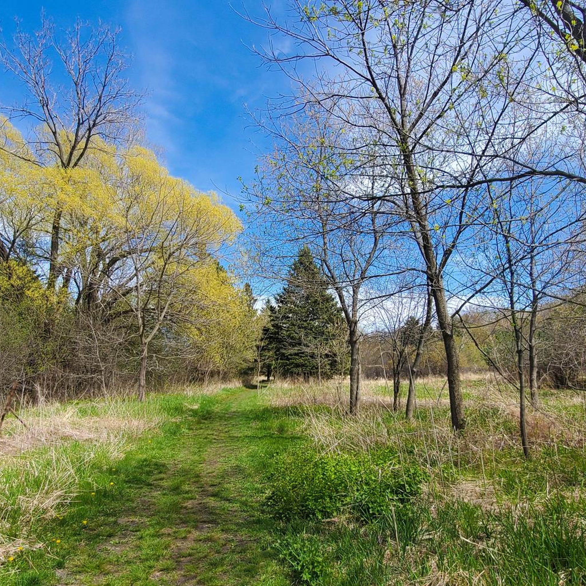
The Kame Terrace Trail offers a delightful journey through Wisconsin's unique glacial landscape, winding through diverse ecosystems of prairies, woodlands, and oak savannas. You'll encounter fascinating glacial landforms like kames…
5.0
(1)
13
hikers
4.43km
01:16
110m
100m
The Ice Age Trail to Lapham Peak offers a delightful escape into Wisconsin's glacial landscape, providing varied scenery and rewarding views for an easy 2.8-mile (4.4 km) hike. You'll traverse…

Sign up for free
12
hikers
6.20km
01:37
40m
40m
The Prairie Path offers a delightful and easy hiking experience, guiding you along a former railway line with a comfortable crushed limestone surface. You'll wander through charming prairie restorations, where…
5.0
(1)
35
hikers
Easy hike. Great for any fitness level. Easily-accessible paths. Suitable for all skill levels.
5.0
(1)
10
hikers
6.47km
01:41
40m
40m
Easy hike. Great for any fitness level. Easily-accessible paths. Suitable for all skill levels.
Get access to more routes and recommendations from other explorers.
Sign up for free
Already have an account?
Our route recommendations are based on thousands of hikes, rides, and runs completed by other people on komoot.
Start today with a free account
Your next adventure awaits.
Login or Signup
Popular around Kettle Moraine State Forest - Lapham Peak Unit
Tips from the Community

The Lapham Peak Observation Tower is located in the Kettle Moraine State Forest - Lapham Peak Unit and surrounded by multiple nice hiking trails. The 45-foot tower provides stunning views of the surrounding forest!
0
0

Ten thousand years ago, a glacier covered this part of Wisconsin. Kettle Moraine State Forest is a mark of its passage — a combination of terrain gouged out by the glacier's passage, and rocky moraine that the glacier dropped as it passed by and melted. There are lots of great hiking trails here, many of them lighted.
1
0

Lapham Peak formed over 10,000 years ago when a glacier covered vast swathes of Wisconsin. It's a perfect destination for hiking and cross-country skiing. Located in Kettle Moraine State Forest, it's open from dawn until dusk daily.
0
0

Lapham Peak is the highest point in Waukesha County. You bike up a moderately steep park road which goes almost all the way to the summit. On top is a wooden observation tower with great views of downtown Milwaukee, Holy Hill, and the Kettle Moraine.
0
0
Frequently Asked Questions
Are dogs allowed in the Kettle Moraine State Forest - Lapham Peak Unit?
Yes, dogs are welcome at Lapham Peak but they must be on a leash no longer than 8 feet at all times. Please be aware that pets are not permitted in the picnic areas, on the paved accessible trail, or inside any of the buildings, including the observation tower.
What is the terrain like on the hiking trails?
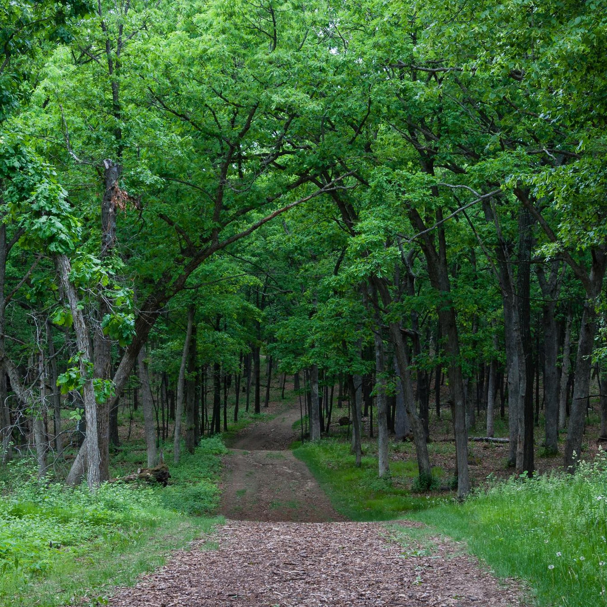
The trails at Lapham Peak navigate a distinctive glaciated landscape. You can expect to encounter rolling hills, wooded ridges, and other glacial features like moraines and kettles. This provides a varied hiking experience with some moderate climbs and beautiful scenery.
Are there any easy, family-friendly hikes available?
Absolutely. The park offers several easier trails suitable for families. For a very gentle walk, the 1.8-mile paved Pine Grove Path is an accessible interpretive trail through prairie and woods. For a slightly longer but still easy dirt path, consider the Timms Woods loop from Steeple Point, which is a relatively flat 4-mile (6.4 km) hike.
Is there an entrance fee for the park?
Yes, a Wisconsin State Park vehicle admission sticker is required for all vehicles entering the park. You can purchase daily or annual passes upon arrival or in advance. For the most current fee information, it's best to check the official Wisconsin DNR website.
How high is the observation tower and what can you see from it?
The wooden observation tower at Lapham Peak is 45 feet tall. From the top, you get panoramic views of the surrounding Lake Country landscape. On a clear day, it's possible to see all the way to the northern edge of Illinois.
How many hiking trails are in the Lapham Peak Unit?
There are over 25 miles of trails within the park, which are configured into more than 15 distinct hiking routes on Komoot. These range from short, easy loops to longer, more challenging treks through the forest.
Can I go hiking at night?
Yes, night hiking is possible. During the winter season, over 2.5 miles of trails are lit for evening cross-country skiing, and these can also be used for hiking. Always bring a headlamp or flashlight for unlit sections and be aware of your surroundings.
Are there any paved trails suitable for strollers or wheelchairs?
Yes, the park features the Pine Grove Path, a 1.8-mile paved trail that is accessible to people with disabilities, as well as visitors with strollers. This interpretive trail winds through prairie and wooded areas.
What do other hikers enjoy most about the Lapham Peak Unit?
The area is highly rated by the Komoot community. Hikers often praise the well-maintained trail system, the beautiful rolling hills of the glacial terrain, and the rewarding views from the observation tower. The mix of dense forest and open prairie is also a frequently mentioned highlight.
Can I combine different loops to create a longer hike?
Yes, the trail system at Lapham Peak is well-connected, making it easy to combine different colored loops to customize the length and difficulty of your hike. Trail maps are available at the park entrance to help you plan a route that suits your preferences.
Are there opportunities for backpacking or camping in the park?
The Lapham Peak Unit is designated for day-use activities only and does not offer backpacking or overnight camping facilities. However, other units within the Kettle Moraine State Forest do have campgrounds available.
Most popular routes in Kettle Moraine State Forest - Lapham Peak Unit

Get inspired with the komoot mobile app


Explore more
Browse the best Hikes in other regions.
